Blind Cleeve Wood
Wood, Forest in Somerset Somerset West and Taunton
England
Blind Cleeve Wood

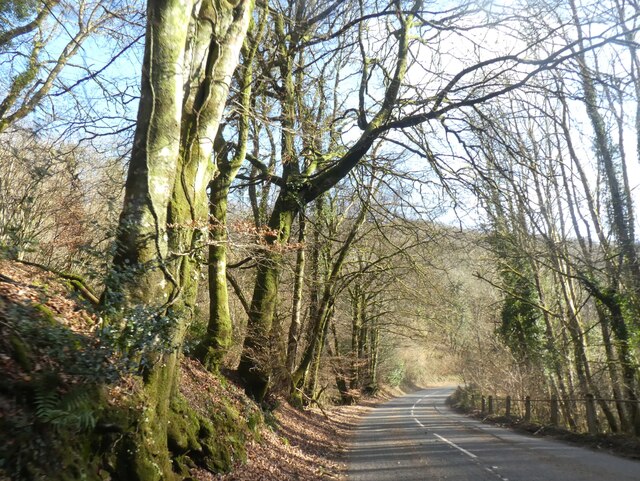
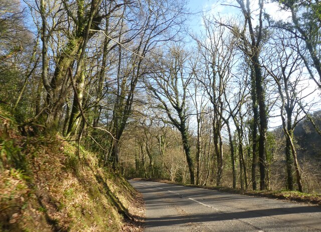
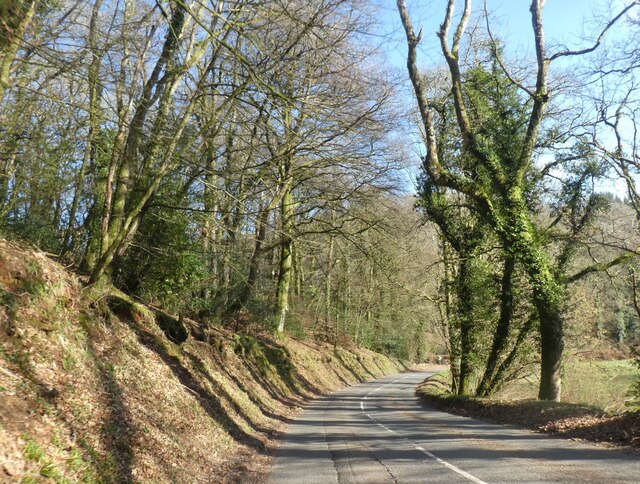
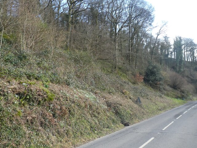
Blind Cleeve Wood is a picturesque woodland located in Somerset, England. It is situated near the village of Cleeve, just a few miles east of the town of Bristol. The wood covers an area of approximately 50 acres and is known for its diverse range of trees, wildlife, and natural beauty.
The wood is predominantly made up of deciduous trees, including oak, beech, ash, and birch, which provide a stunning display of colors throughout the year. The forest floor is covered in a thick carpet of bluebells in the spring, creating a breathtaking sight for visitors.
Blind Cleeve Wood is home to a variety of wildlife, making it a popular spot for nature enthusiasts and birdwatchers. Bird species such as woodpeckers, nuthatches, and treecreepers can be spotted among the treetops, while badgers, foxes, and squirrels can often be seen scurrying through the undergrowth.
The wood is crisscrossed by a network of well-maintained walking trails, allowing visitors to explore its natural wonders at their own pace. These trails offer stunning views of the surrounding countryside and provide an opportunity for visitors to immerse themselves in the tranquility of the woodland.
Blind Cleeve Wood also holds historical significance, with remnants of ancient earthworks and archaeological sites scattered throughout the area. These remnants provide a glimpse into the wood's rich past and add an additional layer of intrigue for history enthusiasts.
Overall, Blind Cleeve Wood is a hidden gem in Somerset, offering visitors a chance to connect with nature, explore its diverse flora and fauna, and immerse themselves in its natural beauty.
If you have any feedback on the listing, please let us know in the comments section below.
Blind Cleeve Wood Images
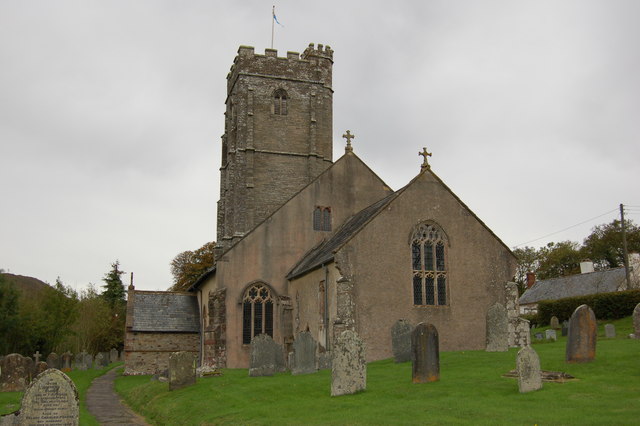
Images are sourced within 2km of 51.101107/-3.5433977 or Grid Reference SS9234. Thanks to Geograph Open Source API. All images are credited.


Blind Cleeve Wood is located at Grid Ref: SS9234 (Lat: 51.101107, Lng: -3.5433977)
Administrative County: Somerset
District: Somerset West and Taunton
Police Authority: Avon and Somerset
What 3 Words
///breeding.amaze.velocity. Near Dulverton, Somerset
Nearby Locations
Related Wikis

St Peter's Church, Exton
The Anglican St Peter's Church at Exton within the English county of Somerset has a 13th-century tower and 15th century aisle. It is a Grade II* listed...
Exton, Somerset
Exton is a village and civil parish 5 miles (8 km) north-east of Dulverton and 9 miles (14 km) south-west of Dunster in Somerset, England. It lies on the...
Winsford, Somerset
Winsford is a village and civil parish in Somerset, England, located about 5 miles (8 km) north-west of Dulverton. It is within the borders of the Exmoor...

Garratts Wood
Garratts Wood is a woodland in Somerset, England, near the village of Winsford. It covers a total area of 1.11 hectares (2.74 acres). It is owned and managed...

Caratacus Stone
The Caratacus Stone, sometimes known as the Caractacus Stone, is an inscribed stone on Exmoor in Somerset, England. It is thought to date from the 6th...

Brendon Hills
The Brendon Hills are a range of hills in west Somerset, England. The hills merge level into the eastern side of Exmoor and are included within the Exmoor...

Exmoor
Exmoor is loosely defined as an area of hilly open moorland in west Somerset and north Devon in South West England. It is named after the River Exe, the...

South Exmoor SSSI
South Exmoor (grid reference SS880340) is a 3132.7 hectare (7742.3 acre) biological Site of Special Scientific Interest in Devon and Somerset, England...
Nearby Amenities
Located within 500m of 51.101107,-3.5433977Have you been to Blind Cleeve Wood?
Leave your review of Blind Cleeve Wood below (or comments, questions and feedback).