Swine Clough Plantation

Wood, Forest in Lancashire Lancaster

England

Swine Clough Plantation

Hungry Sheep On Hind Hill, they looked a bit cold. Taken from near Pennington Wood looking towards Tarnbrook Fell. Should be the last Geograph for Hectad SD55.
Hungry Sheep Credit: Michael Graham

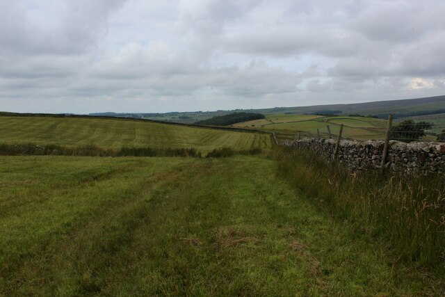
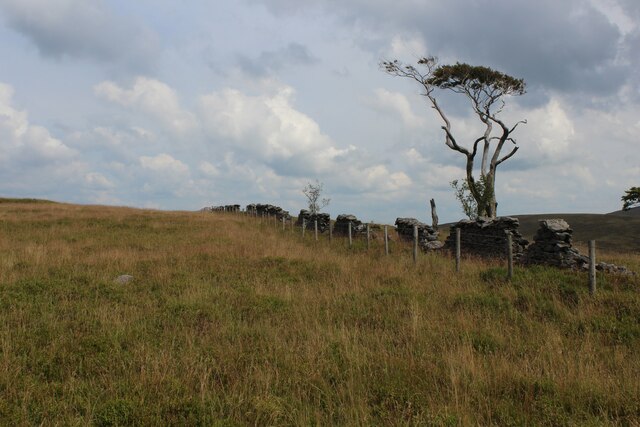
Swine Clough Plantation, located in Lancashire, England, is a picturesque woodland area known for its natural beauty and diverse flora and fauna. Covering an area of approximately 200 acres, it is situated near the village of Waterfoot in the Rossendale Valley.

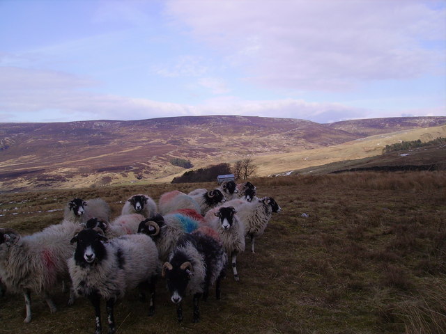
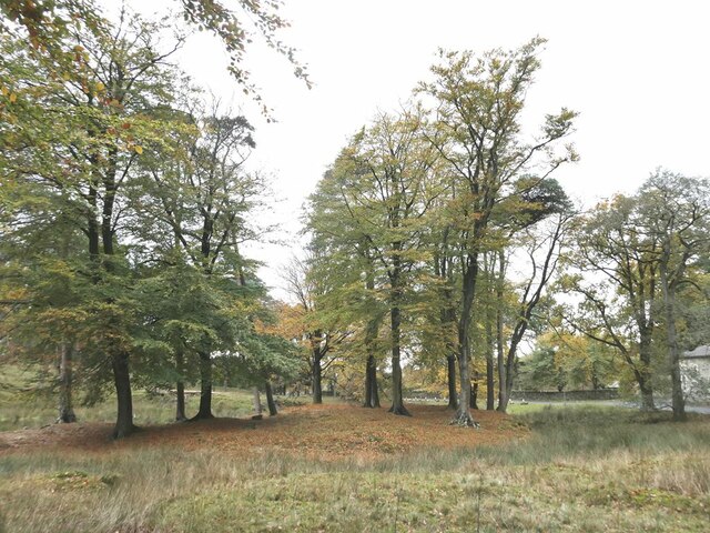
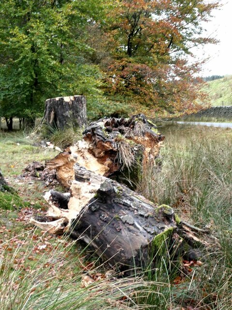
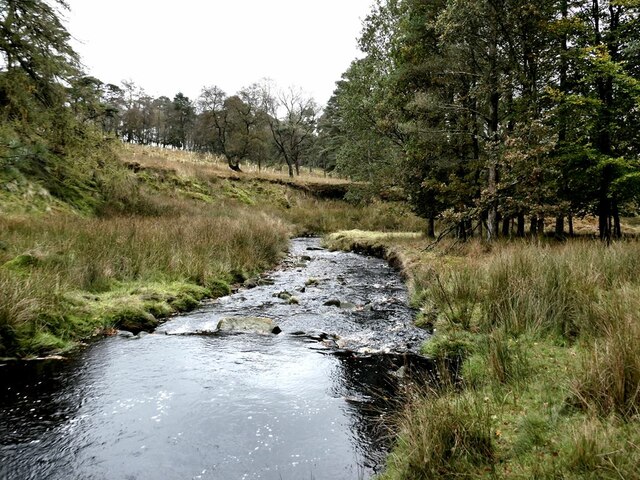
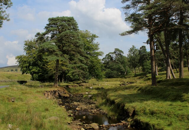
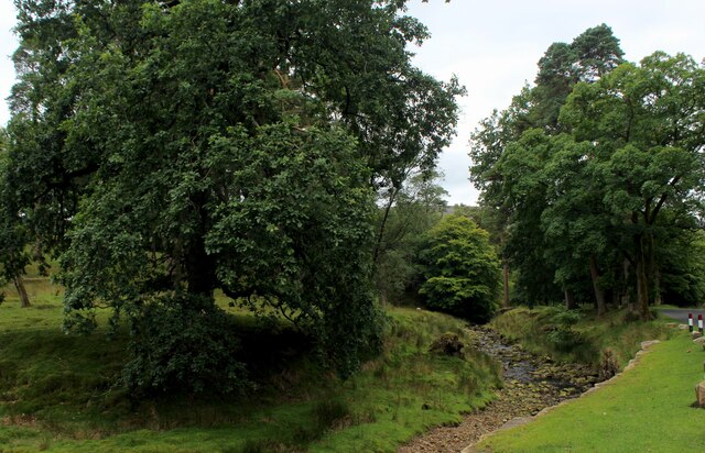
The plantation primarily consists of broadleaf woodland, with a mix of deciduous trees such as oak, beech, and birch. These trees create a dense canopy, providing a habitat for various bird species, including woodpeckers, thrushes, and owls. The woodland floor is adorned with an array of wildflowers, mosses, and ferns, adding to the overall enchanting ambiance.

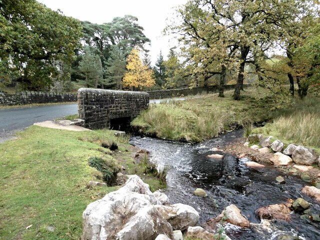
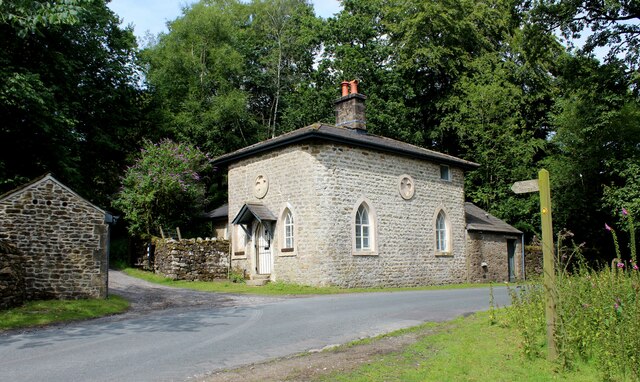
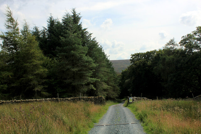
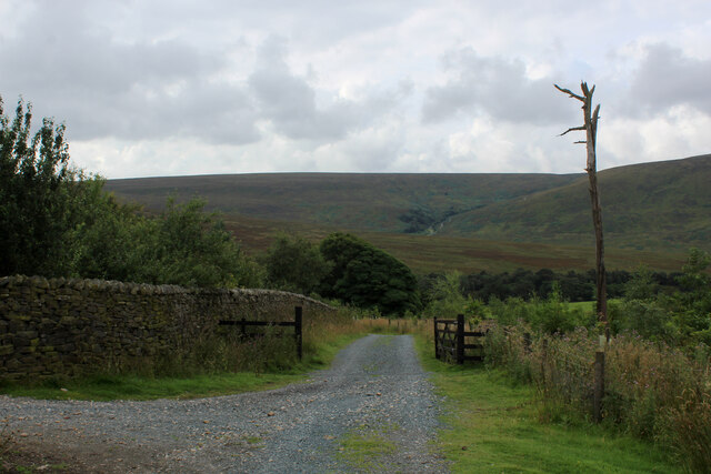
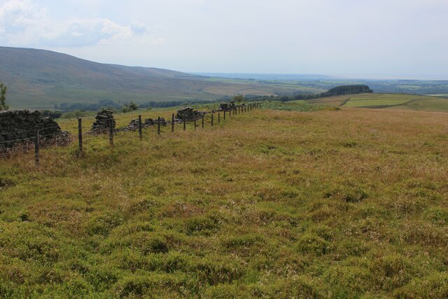
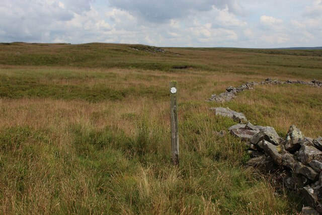
Traversing through Swine Clough Plantation, visitors can enjoy a network of well-maintained footpaths and trails, suitable for both leisurely strolls and more challenging hikes. The paths wind their way through the woodland, offering glimpses of stunning views and serene surroundings.

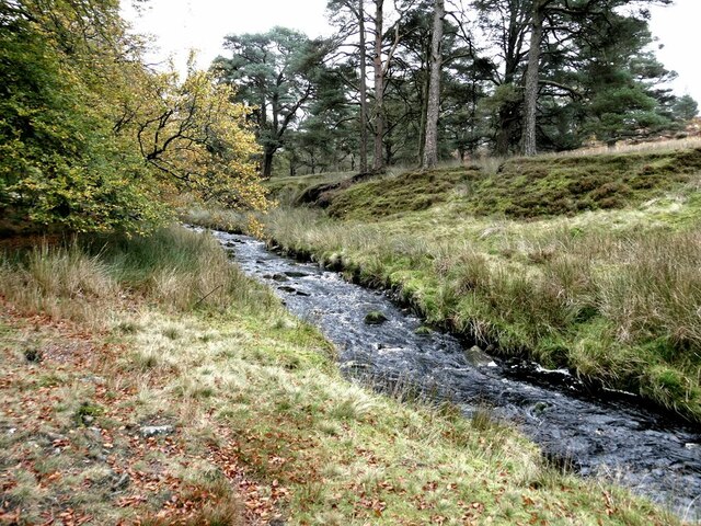
The plantation also features a small stream that meanders through its heart, adding to its natural charm and serving as a water source for local wildlife. The stream attracts various aquatic creatures, including frogs, newts, and dragonflies, enriching the biodiversity of the area.

Swine Clough Plantation is a popular destination for nature lovers, hikers, and birdwatchers. Its accessibility and tranquil atmosphere make it an ideal spot for relaxation and rejuvenation amidst nature. Whether it's exploring the woodland trails, observing the abundant wildlife, or simply enjoying the peaceful ambiance, a visit to Swine Clough Plantation promises to be a delightful experience for all.

If you have any feedback on the listing, please let us know in the comments section below.

Swine Clough Plantation Images

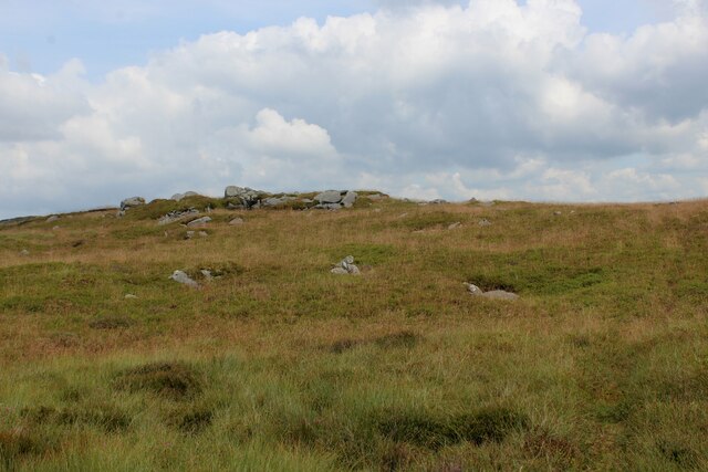
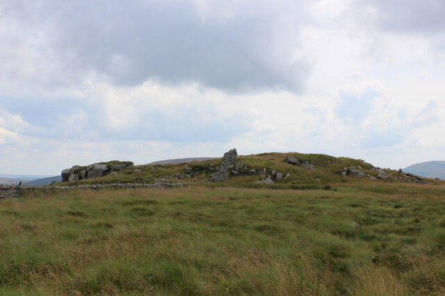
Images are sourced within 2km of 53.994399/-2.6034121 or Grid Reference SD6055. Thanks to Geograph Open Source API. All images are credited.

Hungry Sheep On Hind Hill, they looked a bit cold. Taken from near Pennington Wood looking towards Tarnbrook Fell. Should be the last Geograph for Hectad SD55.
Hungry Sheep
On Hind Hill, they looked a bit cold. Taken from near Pennington Wood looking towards Tarnbrook Fell. Should be the last Geograph for Hectad SD55.
Autumn colours In a strip of woodland alongside the River Marshaw to the west of the Forest of Bowland.
Autumn colours
In a strip of woodland alongside the River Marshaw to the west of the Forest of Bowland.
Fallen tree In a strip of woodland alongside the River Marshaw Wyre to the west of the Forest of Bowland.
Fallen tree
In a strip of woodland alongside the River Marshaw Wyre to the west of the Forest of Bowland.
River Marshaw Wyre In a strip of woodland alongside the river to the west of the Forest of Bowland.
River Marshaw Wyre
In a strip of woodland alongside the river to the west of the Forest of Bowland.
River Marshaw Wyre In a strip of woodland alongside the river to the west of the Forest of Bowland.
River Marshaw Wyre
In a strip of woodland alongside the river to the west of the Forest of Bowland.
Trough Bridge Where the road from the Trough of Bowland crosses the River Marshaw Wyre. Trough Brook enters the river from the right.
Trough Bridge
Where the road from the Trough of Bowland crosses the River Marshaw Wyre. Trough Brook enters the river from the right.
Old Boundary Marker on Tarnbrook Fell, Over Wyresdale Water Company Boundary Marker beside a track on Tarnbrook Fell. Over Wyresdale parish. This marks a Lancaster Corporation Water Works pipeline to Damas Gill reservoir.

Milestone Society National ID: LA_LCWW14em
Old Boundary Marker on Tarnbrook Fell, Over Wyresdale
Water Company Boundary Marker beside a track on Tarnbrook Fell. Over Wyresdale parish. This marks a Lancaster Corporation Water Works pipeline to Damas Gill reservoir. Milestone Society National ID: LA_LCWW14em
Marshaw Wyre looking Upstream The river near Tower Lodge, enclosed by a delightful strip of woodland along side the Trough Road in Bowland
Marshaw Wyre looking Upstream
The river near Tower Lodge, enclosed by a delightful strip of woodland along side the Trough Road in Bowland
Marshaw Wyre looking Downstream River in a delightful strip of woodland beside the Trough Road. Further downstream the watercourse will unite with the Tarnbrook Wyre, to become the plain old Wyre. It enters the Irish Sea at Fleetwood.
Marshaw Wyre looking Downstream
River in a delightful strip of woodland beside the Trough Road. Further downstream the watercourse will unite with the Tarnbrook Wyre, to become the plain old Wyre. It enters the Irish Sea at Fleetwood.
Tower Lodge Located on the Trough Road beside the Marshaw Wyre river.
Built as the lodge house for the uncompleted Wyresdale Tower Shooting House, and now a Grade II Listed Building.
The Wyre Way long distance footpath passes up the track to the left, giving access to the fells around Tarnbrook.
Tower Lodge
Located on the Trough Road beside the Marshaw Wyre river. Built as the lodge house for the uncompleted Wyresdale Tower Shooting House, and now a Grade II Listed Building. The Wyre Way long distance footpath passes up the track to the left, giving access to the fells around Tarnbrook.
Wyre Way descending into Tower Plantation Adopted a well appointed track that descends through plantation to Tower Lodge on the Trough Road
Wyre Way descending into Tower Plantation
Adopted a well appointed track that descends through plantation to Tower Lodge on the Trough Road
Descending towards Tower Plantation
Field beside White Moor
Beside High Tower Plantation There seems to be very few trees left standing in the plantation - just one or two straggly specimens.
The permissive path of this side of the wall is a trial. Uneven and narrow, when visible, smothered in bilberry bushes or head high bracken on much of its length.
Beside High Tower Plantation
There seems to be very few trees left standing in the plantation - just one or two straggly specimens. The permissive path of this side of the wall is a trial. Uneven and narrow, when visible, smothered in bilberry bushes or head high bracken on much of its length.
Permissive Footpath beside High Tower Plantation On the permissive footpath between Millers House and White Moor. A difficult and uneven path, most of which cannot be followed - at this point smothered by bilberry bushes, soft vegetation that hides a myriad of obstacles. Further on, head high bracken is encountered.
Permissive Footpath beside High Tower Plantation
On the permissive footpath between Millers House and White Moor. A difficult and uneven path, most of which cannot be followed - at this point smothered by bilberry bushes, soft vegetation that hides a myriad of obstacles. Further on, head high bracken is encountered.
Permissive Path above Harthole Plantation The path between Millers House and White Moor has the odd solitary indicator, but does not exist in physical form for much of its length.
Permissive Path above Harthole Plantation
The path between Millers House and White Moor has the odd solitary indicator, but does not exist in physical form for much of its length.
Permissive Footpath to Millers House Unseen to the naked eye, the extremely faint path is buried beneath bilberry bushes and other species of soft moorland vegetation.
Permissive Footpath to Millers House
Unseen to the naked eye, the extremely faint path is buried beneath bilberry bushes and other species of soft moorland vegetation.
Approaching Millers House from the North Basically a small rounded hillock, surmounted with gritstone outcrops. I saw no evidence of a man-made structure, hereabouts.
Approaching Millers House from the North
Basically a small rounded hillock, surmounted with gritstone outcrops. I saw no evidence of a man-made structure, hereabouts.
Show me another place!

Swine Clough Plantation is located at Grid Ref: SD6055 (Lat: 53.994399, Lng: -2.6034121)

Administrative County: Lancashire

District: Lancaster

Police Authority: Lancashire

What 3 Words

///motored.regrowth.intelligible. Near Bay Horse, Lancashire

Related Wikis

Grey Stone of Trough

The Grey Stone of Trough is an historic boundary marker in Bowland Forest High, in the Trough of Bowland, Lancashire, England. A Grade II listed structure...

National nature reserves in Lancashire

National nature reserves in Lancashire in England are established by Natural England. There are two national nature reserves in Lancashire, both of which...

Ward's Stone

Ward's Stone is the highest hill in the Forest of Bowland, England. Its flat top hides two trig points nearly a kilometre apart. The western trig point...

Wolfhole Crag

Wolfhole Crag is an isolated and seldom-visited hill in the Forest of Bowland in Lancashire, England. Its seclusion is due in part to its low profile and...

Nearby Amenities

Located within 500m of 53.994399,-2.6034121
Swine Crag
Place: locality
Lat/Long: 53.9971623/-2.6026654
The data included in this document is from www.openstreetmap.org. The data is made available under ODbL.

Have you been to Swine Clough Plantation?

Leave your review of Swine Clough Plantation below (or comments, questions and feedback).