Swine Clough
Valley in Lancashire Lancaster
England
Swine Clough
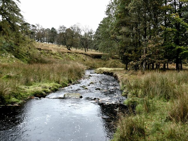
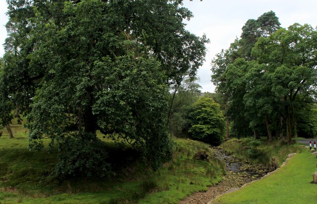
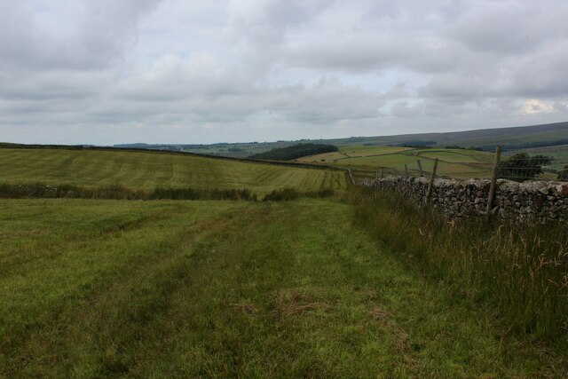
Swine Clough is a picturesque valley located in the county of Lancashire, England. Nestled amidst the rolling hills of the Pennines, this idyllic landscape offers a tranquil retreat for nature enthusiasts and hikers alike.
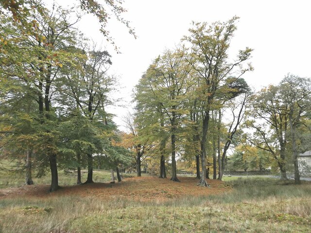
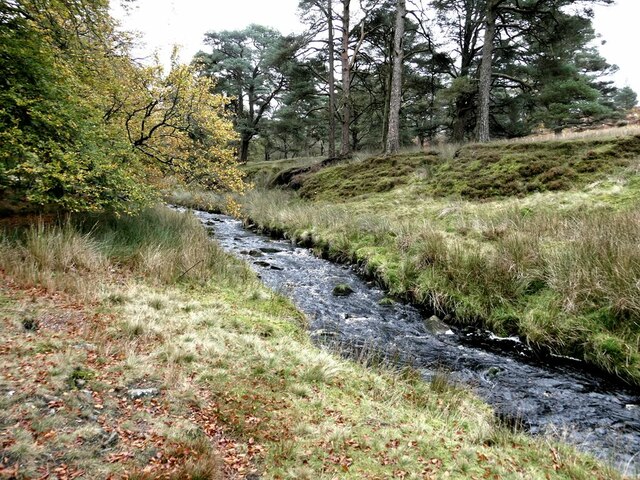
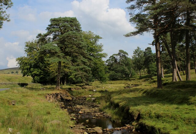
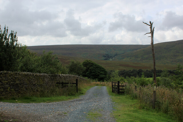
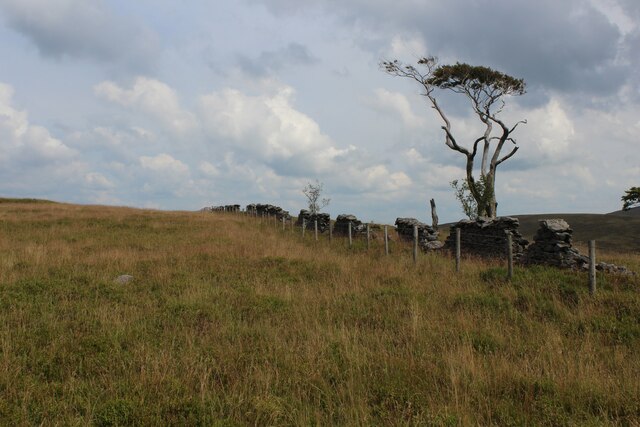
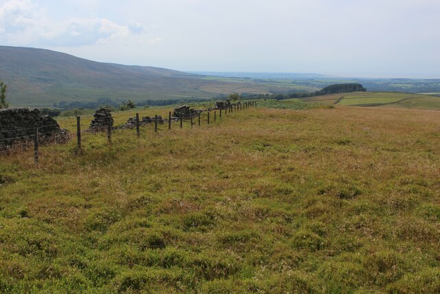
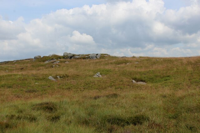
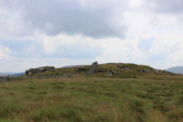
The valley is renowned for its scenic beauty, with lush green meadows, dense woodlands, and meandering streams that cut through the terrain. The surrounding hills provide a stunning backdrop, making it a popular destination for photographers and artists seeking inspiration.
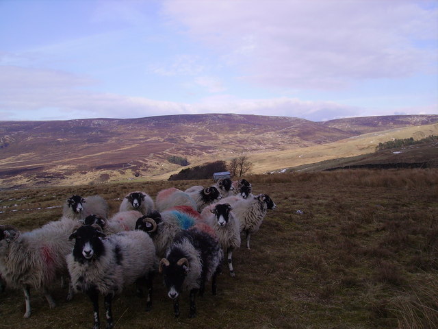
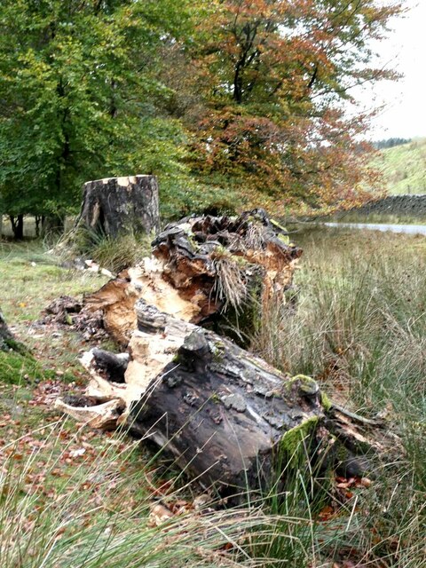
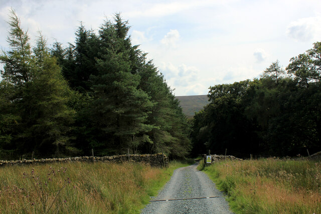
Swine Clough is also home to a diverse range of flora and fauna. The valley's rich biodiversity includes various species of wildflowers, trees, and wildlife such as birds, rabbits, and deer. The local conservation efforts have helped preserve this natural habitat, ensuring the continued existence of these rare and endangered species.
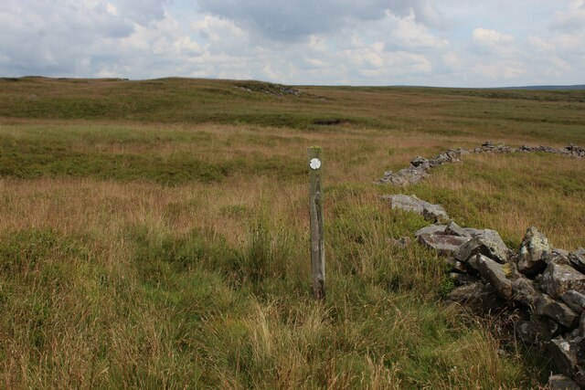
In addition to its natural beauty, Swine Clough boasts a network of well-maintained trails and footpaths, making it an ideal location for outdoor activities. Whether it's a leisurely stroll along the riverside or a challenging hike up the hills, visitors can explore the valley at their own pace while enjoying breathtaking vistas at every turn.
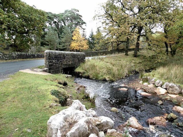
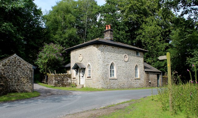
The valley is also steeped in history, with remnants of ancient settlements and industrial heritage dotted throughout the landscape. Ruins of old mills and mining structures serve as a reminder of the area's past, adding a historical dimension to the overall experience.
In conclusion, Swine Clough is a captivating destination that offers a perfect blend of natural beauty, outdoor adventure, and historical significance. It is a place where visitors can immerse themselves in the serene surroundings, explore the trails, and discover the rich cultural heritage that defines this enchanting valley.
If you have any feedback on the listing, please let us know in the comments section below.
Swine Clough Images
Images are sourced within 2km of 53.994401/-2.6048765 or Grid Reference SD6055. Thanks to Geograph Open Source API. All images are credited.
Swine Clough is located at Grid Ref: SD6055 (Lat: 53.994401, Lng: -2.6048765)
Administrative County: Lancashire
District: Lancaster
Police Authority: Lancashire
What 3 Words
///domestic.incursion.kicks. Near Bay Horse, Lancashire
Nearby Locations
Related Wikis

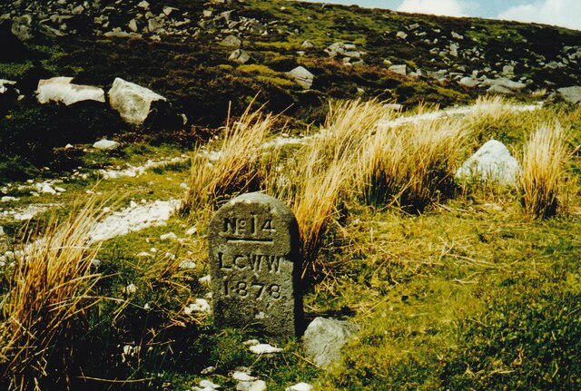
Grey Stone of Trough
The Grey Stone of Trough is an historic boundary marker in Bowland Forest High, in the Trough of Bowland, Lancashire, England. A Grade II listed structure...

National nature reserves in Lancashire
National nature reserves in Lancashire in England are established by Natural England. There are two national nature reserves in Lancashire, both of which...

Ward's Stone
Ward's Stone is the highest hill in the Forest of Bowland, England. Its flat top hides two trig points nearly a kilometre apart. The western trig point...

Wolfhole Crag
Wolfhole Crag is a lonely and seldom-visited hill in the Forest of Bowland in Lancashire, England. Its seclusion is due in part to its low profile and...

Trough of Bowland
The Trough of Bowland is a valley and high pass in the Forest of Bowland Area of Outstanding Natural Beauty, Lancashire, England. The pass, reaching 968...

Grizedale Bridge
Grizedale Bridge is a Grade II listed bridge in the English parish of Over Wyresdale, Lancashire. The structure, which dates to the 19th century, carries...

Abbeystead House
Abbeystead House is a large country house to the east of the village of Abbeystead, Lancashire, England, some 12 km (7 miles) south-east of Lancaster....

William Molyneux, 4th Earl of Sefton
William Philip Molyneux, 4th Earl of Sefton, (14 October 1835 – 27 June 1897) was a British peer. == Biography == Born Viscount Molyneux, he was the eldest...
Nearby Amenities
Located within 500m of 53.994401,-2.6048765Have you been to Swine Clough?
Leave your review of Swine Clough below (or comments, questions and feedback).