Cooper's Green

Settlement in Sussex Wealdon

England

Cooper's Green

New roundabout east of Maresfield
New roundabout east of Maresfield Credit: nick macneill

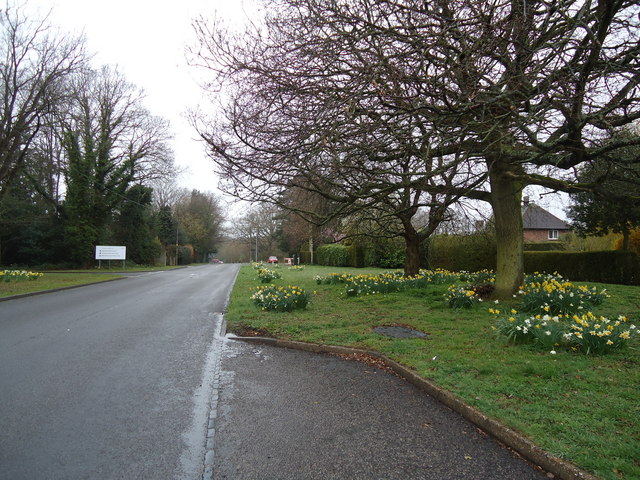
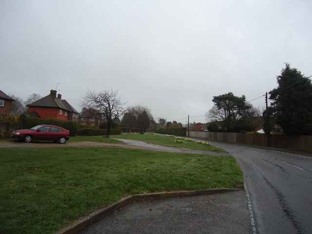
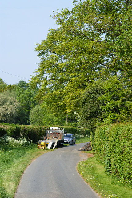
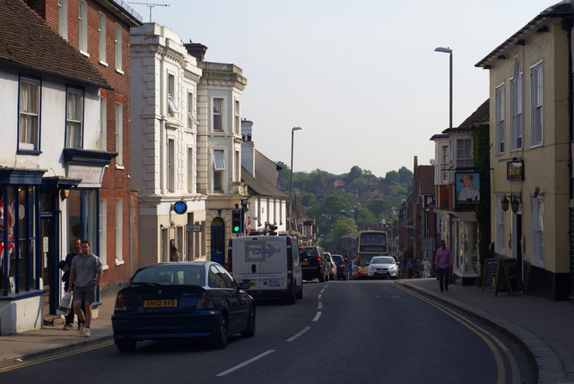
Cooper's Green is a small village located in the county of Sussex, England. Situated in the Wealden District, it lies approximately 10 miles to the east of the historic town of Lewes and about 14 miles to the north of the coastal city of Brighton. The village is nestled in a picturesque countryside setting, surrounded by rolling hills, lush green fields, and serene woodlands.

Cooper's Green is known for its tranquil atmosphere and close-knit community. The village is home to a modest population, mostly comprised of families and retirees seeking a peaceful rural lifestyle. The architecture in Cooper's Green is a mix of traditional English cottages and more modern houses, blending harmoniously with the natural surroundings.

Although small in size, the village offers a range of amenities to its residents. These include a local pub, a village hall, and a primary school, providing essential services and opportunities for social gatherings. Additionally, a number of footpaths and trails crisscross the area, allowing residents to explore the beautiful surrounding countryside on foot or by bike.

The village's location also offers easy access to a variety of attractions and activities. Within a short drive, residents can reach the South Downs National Park, offering stunning views, hiking trails, and opportunities for outdoor adventures. The nearby towns of Lewes and Brighton provide further options for shopping, dining, and cultural experiences.

In summary, Cooper's Green is a charming village in Sussex, offering a peaceful and idyllic lifestyle for its residents. With its beautiful natural surroundings and convenient access to amenities and attractions, it is a desirable place to live for those seeking a countryside retreat within reach of larger towns and cities.

If you have any feedback on the listing, please let us know in the comments section below.

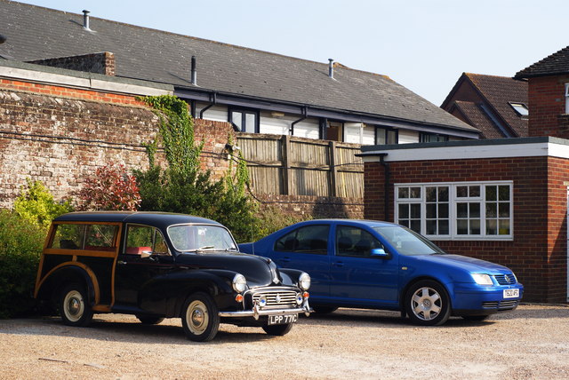
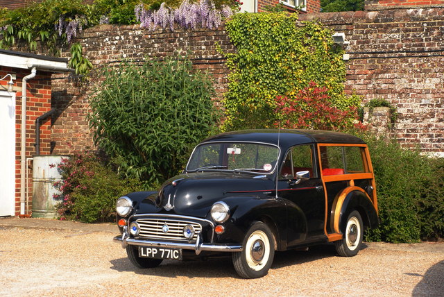
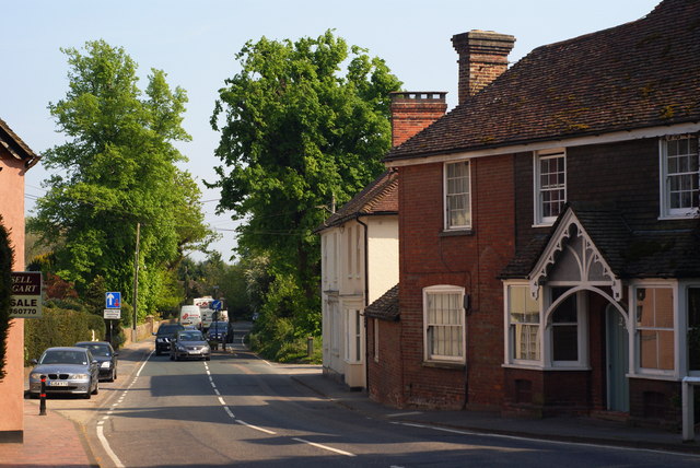
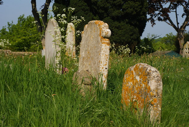
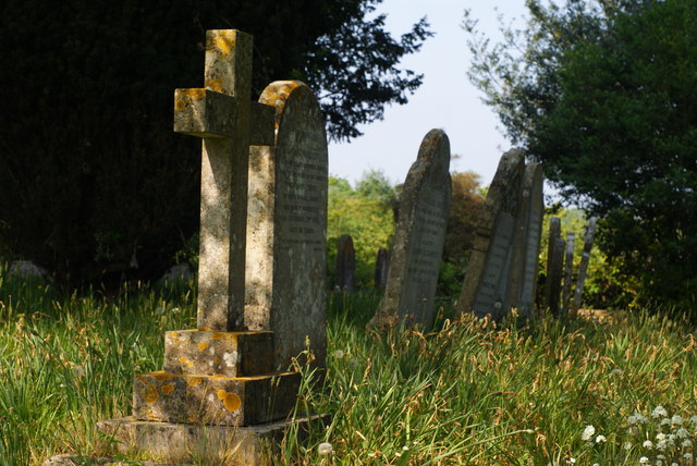
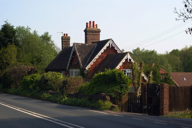
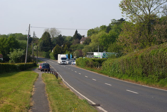
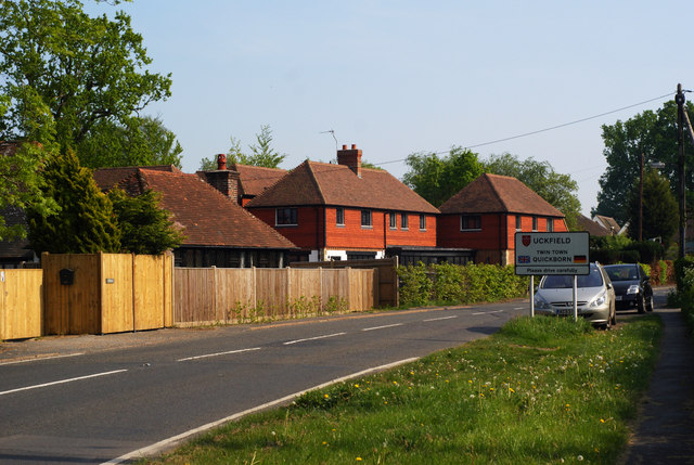
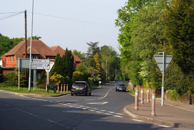
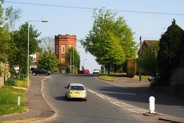
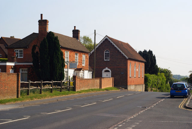
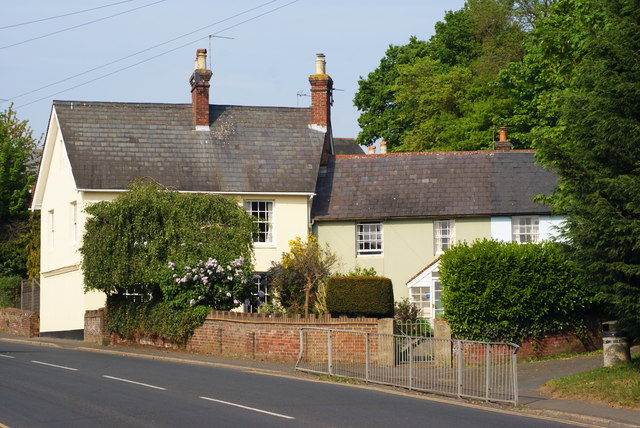
Cooper's Green Images

Images are sourced within 2km of 50.987639/0.09302898 or Grid Reference TQ4723. Thanks to Geograph Open Source API. All images are credited.

New roundabout east of Maresfield
Batts Bridge Road, Maresfield
Nursery Lane, Maresfield, Sussex The large tree, to the right of picture, marks the position of Oak Tree Cottage.
Nursery Lane, Maresfield, Sussex
The large tree, to the right of picture, marks the position of Oak Tree Cottage.
Entrance to Maresfield Park, Sussex Formerly a large private estate, the road beyond the gatehouse is still marked as 'private'. Judging from the gatehouse, it must have been an impressive estate in its heyday.
Entrance to Maresfield Park, Sussex
Formerly a large private estate, the road beyond the gatehouse is still marked as 'private'. Judging from the gatehouse, it must have been an impressive estate in its heyday.
Morris 1000 Traveller, Uckfield, Sussex A fine survivor, some 45 years old.
Morris 1000 Traveller, Uckfield, Sussex
A fine survivor, some 45 years old.
Morris 1000 Traveller, Uckfield, Sussex At some stage in its 45 year life, some of the timbers have been replaced on the car. Timber rot was always a problem with this model, especially if left out in all weathers.
Morris 1000 Traveller, Uckfield, Sussex
At some stage in its 45 year life, some of the timbers have been replaced on the car. Timber rot was always a problem with this model, especially if left out in all weathers.
High Street, Maresfield, Sussex Photographed from close to Maresfield church.
High Street, Maresfield, Sussex
Photographed from close to Maresfield church.
Graves in Maresfield Cemetery, Sussex Photographed from the footpath in High Street.
Graves in Maresfield Cemetery, Sussex
Photographed from the footpath in High Street.
Graves in Maresfield Cemetery, Sussex Photographed from the footpath on High Street.
Graves in Maresfield Cemetery, Sussex
Photographed from the footpath on High Street.
The Mill House, Maresfield, Sussex The former mill house lies just within this grid square. The pond, serving this house, lies to the west; an aerial view suggests that the pond may have been truncated by the construction of the A22 Maresfield bypass, some years ago.
The Mill House, Maresfield, Sussex
The former mill house lies just within this grid square. The pond, serving this house, lies to the west; an aerial view suggests that the pond may have been truncated by the construction of the A22 Maresfield bypass, some years ago.
London Road, Budlett's Common, Sussex Chichester Caravans can be seen, in the centre of picture.
London Road, Budlett's Common, Sussex
Chichester Caravans can be seen, in the centre of picture.
London Road, Ringles Cross, Sussex Looking in the direction of Uckfield. The town sign can be seen, to the right of picture.
London Road, Ringles Cross, Sussex
Looking in the direction of Uckfield. The town sign can be seen, to the right of picture.
Road Junction at Ringles Cross, Sussex The junction of London Road with Coopers Green Road.
Road Junction at Ringles Cross, Sussex
The junction of London Road with Coopers Green Road.
Brown Lane, Uckfield, Sussex Looking in the direction of the water tower, from London Road.
Brown Lane, Uckfield, Sussex
Looking in the direction of the water tower, from London Road.
The Old Chapel, Uckfield, Sussex This chapel was re-built in the 1880s, but was built nearly 100 years earlier. To the left of picture, is the Veterinary Centre in Henley House.
The Old Chapel, Uckfield, Sussex
This chapel was re-built in the 1880s, but was built nearly 100 years earlier. To the left of picture, is the Veterinary Centre in Henley House.
Houses in Uckfield, Sussex Located beside London Road.
Houses in Uckfield, Sussex
Located beside London Road.
Uckfield High Street, Sussex Looking down the hill; towards the town centre, and railway station.
Uckfield High Street, Sussex
Looking down the hill; towards the town centre, and railway station.
Show me another place!

Cooper's Green is located at Grid Ref: TQ4723 (Lat: 50.987639, Lng: 0.09302898)

Administrative County: East Sussex

District: Wealdon

Police Authority: Sussex

What 3 Words

///backfired.tiny.scared. Near Uckfield, East Sussex

Related Wikis

Cooper's Green

Cooper's Green is a village in the civil parish of Buxted in the Wealden district of East Sussex, England. Its nearest town is Uckfield, which lies approximately...

A.F.C. Uckfield Town

A.F.C. Uckfield Town is a community football club based in Uckfield, East Sussex, England. They are currently members of the Southern Combination Premier...

A.F.C. Uckfield

Association Football Club Uckfield was a football club based in Uckfield, East Sussex, England. == History == The club was formed in 1988 as Wealden Football...

Uckfield Baptist Church

Uckfield Baptist Church is a Baptist congregation based in the town of Uckfield in East Sussex, England. Although services now take place in a school...

Maresfield

Maresfield is a village and civil parish in the Wealden District of East Sussex, England. The village itself lies 1.5 miles (2.4 km) north from Uckfield...

Copping Hall

Copping Hall is a Grade II* listed house in Uckfield, East Sussex, England. It is located at 1 Pudding Cake Lane, Uckfield, East Sussex TN22 1BT. Built...

St Margaret the Queen, Buxted

The Church of St Margaret the Queen is a grade I listed building in Buxted Park, East Sussex, England. It is dedicated to Saint Margaret of Scotland, an...

Uckfield College

Uckfield College (formerly Uckfield Community Technology College) is a community college situated in Uckfield, UK. It has approximately 1,720 students...

Nearby Amenities

Located within 500m of 50.987639,0.09302898
Budlett's Common
Place: locality
Source: OS_OpenData_StreetView
Lat/Long: 50.9897678/0.0979519
Car Wash
Automated: no
Wheelchair: no
Lat/Long: 50.9886735/0.0903374
Post Box
Operator: Royal Mail
Operator Wikidata: Q638098
Post Box Type: wall
Ref: TN22 43D
Royal Cypher: GR
Royal Cypher Wikidata: Q33102273
Lat/Long: 50.9885939/0.0984162
Whitehouse Farm
Place: farm
Lat/Long: 50.9867557/0.0958192
Addr Housename: Blackhouse Farm
Place: farm
Lat/Long: 50.9915349/0.0954048
Bus Stop
Budletts Common London Road
Bus: yes
Public Transport: platform
Lat/Long: 50.991741/0.0958827
Bus Stop
Budletts Common London Road
Bus: yes
Public Transport: platform
Lat/Long: 50.9897679/0.0969118
Barrier: stile
Lat/Long: 50.9896613/0.0927507
Leisure: outdoor_seating
Operator: McDonald's
Lat/Long: 50.9891558/0.0899425
Crossing
Crossing: uncontrolled
Crossing Ref: zebra
Lat/Long: 50.9887783/0.0908111
Crossing
Crossing: uncontrolled
Crossing Ref: zebra
Lat/Long: 50.9890954/0.0900159
Crossing
Crossing: uncontrolled
Crossing Ref: zebra
Lat/Long: 50.9891237/0.089839
Crossing
Crossing: uncontrolled
Crossing Ref: zebra
Lat/Long: 50.9891474/0.0901209
Crossing
Crossing: uncontrolled
Crossing Ref: zebra
Lat/Long: 50.9890275/0.0901903
Crossing
Crossing: uncontrolled
Crossing Ref: zebra
Lat/Long: 50.9889226/0.090384
Barrier: stile
Lat/Long: 50.9898532/0.0925616
The data included in this document is from www.openstreetmap.org. The data is made available under ODbL.

Have you been to Cooper's Green?

Leave your review of Cooper's Green below (or comments, questions and feedback).