Budlett's Common

Settlement in Sussex Wealdon

England

Budlett's Common

New roundabout east of Maresfield
New roundabout east of Maresfield Credit: nick macneill

Budlett's Common is a small village located in the county of Sussex, England. Situated amidst picturesque countryside, this charming rural settlement is well-known for its idyllic landscapes, peaceful atmosphere, and rich historical heritage.

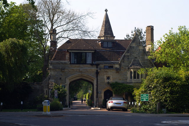
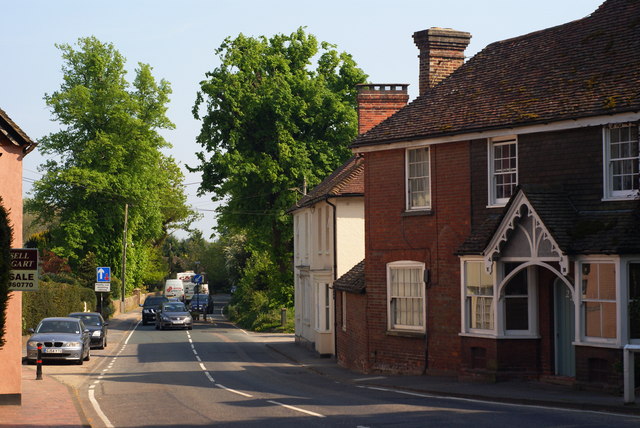
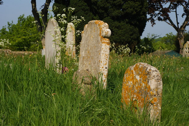
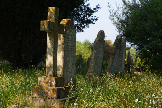
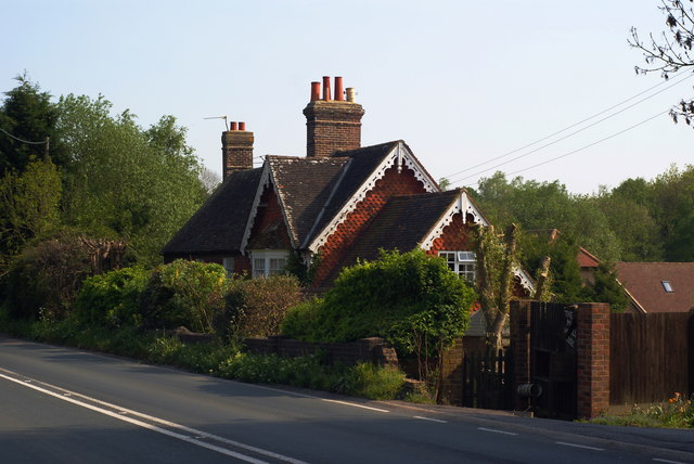
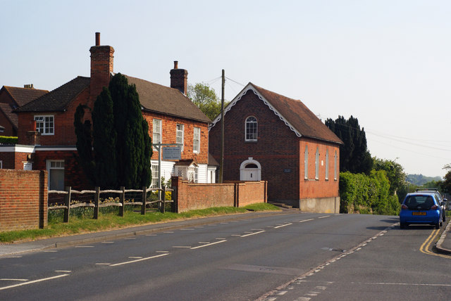
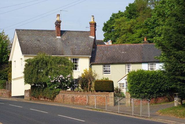
The village is characterized by its traditional architecture, with many buildings dating back several centuries. The local church, St. Mary's, is a prominent landmark, displaying exquisite medieval craftsmanship and offering a glimpse into the area's past. Surrounding the village, one can find vast farmlands and meadows, which contribute to its agrarian ambiance.

Budlett's Common is a close-knit community, with a population of approximately 500 residents. The village's residents are known for their warm hospitality and strong community spirit. Regular events such as village fairs, farmers markets, and sporting competitions are organized to foster a sense of togetherness.

Nature enthusiasts will find plenty to explore in Budlett's Common and its surroundings. The area is blessed with an abundance of wildlife, and the village is a popular starting point for various walking trails and nature walks. The nearby Budlett's Woods, a designated nature reserve, offers visitors the chance to immerse themselves in a serene woodland setting, with diverse flora and fauna.

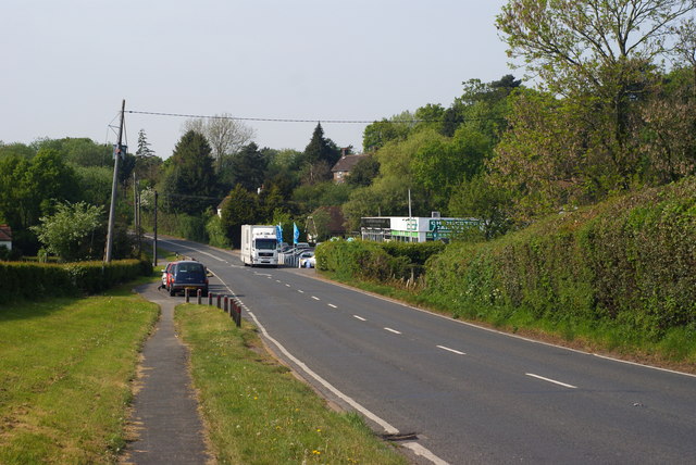
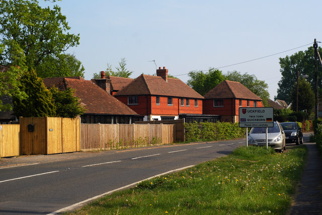
Although Budlett's Common is predominantly a residential area, it benefits from its proximity to larger towns and cities. The village is conveniently located near major transportation routes, allowing easy access to nearby amenities and services.

In conclusion, Budlett's Common is a quaint and picturesque village nestled in the heart of the Sussex countryside. With its rich history, natural beauty, and strong community spirit, it offers a peaceful retreat for both residents and visitors alike.

If you have any feedback on the listing, please let us know in the comments section below.

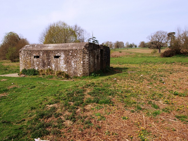
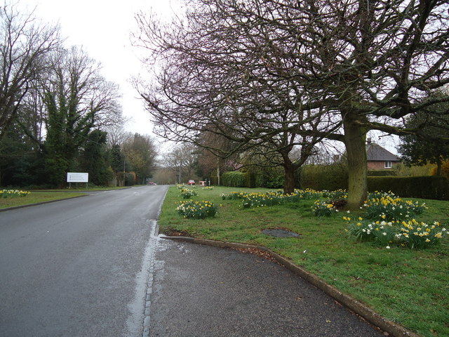
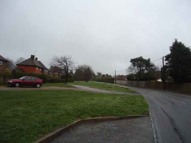
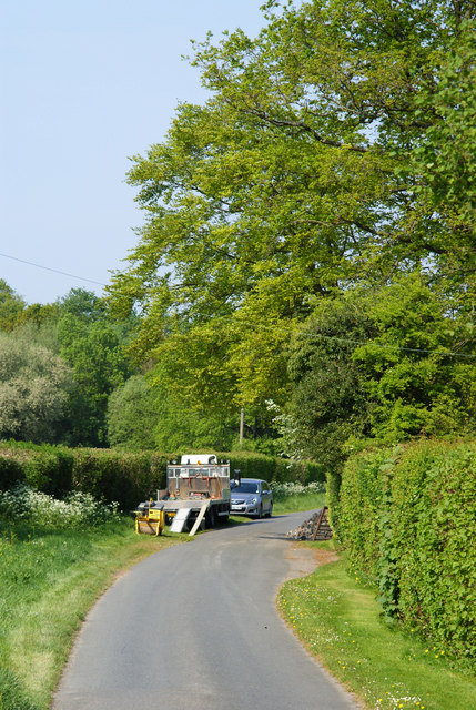
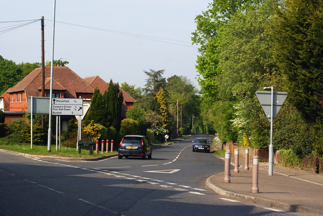
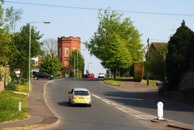
Budlett's Common Images

Images are sourced within 2km of 50.988597/0.098301537 or Grid Reference TQ4723. Thanks to Geograph Open Source API. All images are credited.

New roundabout east of Maresfield
World War Two Pillbox just to the west of Buxted
Batts Bridge Road, Maresfield
Nursery Lane, Maresfield, Sussex The large tree, to the right of picture, marks the position of Oak Tree Cottage.
Nursery Lane, Maresfield, Sussex
The large tree, to the right of picture, marks the position of Oak Tree Cottage.
Entrance to Maresfield Park, Sussex Formerly a large private estate, the road beyond the gatehouse is still marked as 'private'. Judging from the gatehouse, it must have been an impressive estate in its heyday.
Entrance to Maresfield Park, Sussex
Formerly a large private estate, the road beyond the gatehouse is still marked as 'private'. Judging from the gatehouse, it must have been an impressive estate in its heyday.
Morris 1000 Traveller, Uckfield, Sussex A fine survivor, some 45 years old.
Morris 1000 Traveller, Uckfield, Sussex
A fine survivor, some 45 years old.
Morris 1000 Traveller, Uckfield, Sussex At some stage in its 45 year life, some of the timbers have been replaced on the car. Timber rot was always a problem with this model, especially if left out in all weathers.
Morris 1000 Traveller, Uckfield, Sussex
At some stage in its 45 year life, some of the timbers have been replaced on the car. Timber rot was always a problem with this model, especially if left out in all weathers.
High Street, Maresfield, Sussex Photographed from close to Maresfield church.
High Street, Maresfield, Sussex
Photographed from close to Maresfield church.
Graves in Maresfield Cemetery, Sussex Photographed from the footpath in High Street.
Graves in Maresfield Cemetery, Sussex
Photographed from the footpath in High Street.
Graves in Maresfield Cemetery, Sussex Photographed from the footpath on High Street.
Graves in Maresfield Cemetery, Sussex
Photographed from the footpath on High Street.
The Mill House, Maresfield, Sussex The former mill house lies just within this grid square. The pond, serving this house, lies to the west; an aerial view suggests that the pond may have been truncated by the construction of the A22 Maresfield bypass, some years ago.
The Mill House, Maresfield, Sussex
The former mill house lies just within this grid square. The pond, serving this house, lies to the west; an aerial view suggests that the pond may have been truncated by the construction of the A22 Maresfield bypass, some years ago.
London Road, Budlett's Common, Sussex Chichester Caravans can be seen, in the centre of picture.
London Road, Budlett's Common, Sussex
Chichester Caravans can be seen, in the centre of picture.
London Road, Ringles Cross, Sussex Looking in the direction of Uckfield. The town sign can be seen, to the right of picture.
London Road, Ringles Cross, Sussex
Looking in the direction of Uckfield. The town sign can be seen, to the right of picture.
Road Junction at Ringles Cross, Sussex The junction of London Road with Coopers Green Road.
Road Junction at Ringles Cross, Sussex
The junction of London Road with Coopers Green Road.
Brown Lane, Uckfield, Sussex Looking in the direction of the water tower, from London Road.
Brown Lane, Uckfield, Sussex
Looking in the direction of the water tower, from London Road.
The Old Chapel, Uckfield, Sussex This chapel was re-built in the 1880s, but was built nearly 100 years earlier. To the left of picture, is the Veterinary Centre in Henley House.
The Old Chapel, Uckfield, Sussex
This chapel was re-built in the 1880s, but was built nearly 100 years earlier. To the left of picture, is the Veterinary Centre in Henley House.
Houses in Uckfield, Sussex Located beside London Road.
Houses in Uckfield, Sussex
Located beside London Road.
Show me another place!

Budlett's Common is located at Grid Ref: TQ4723 (Lat: 50.988597, Lng: 0.098301537)

Administrative County: East Sussex

District: Wealdon

Police Authority: Sussex

What 3 Words

///unclaimed.honestly.flickers. Near Uckfield, East Sussex

Related Wikis

Cooper's Green

Cooper's Green is a village in the civil parish of Buxted in the Wealden district of East Sussex, England. Its nearest town is Uckfield, which lies approximately...

A.F.C. Uckfield Town

A.F.C. Uckfield Town is a community football club based in Uckfield, East Sussex, England. They are currently members of the Southern Combination Premier...

A.F.C. Uckfield

Association Football Club Uckfield was a football club based in Uckfield, East Sussex, England. == History == The club was formed in 1988 as Wealden Football...

St Margaret the Queen, Buxted

The Church of St Margaret the Queen is a grade I listed building in Buxted Park, East Sussex, England. It is dedicated to Saint Margaret of Scotland, an...

Uckfield Baptist Church

Uckfield Baptist Church is a Baptist congregation based in the town of Uckfield in East Sussex, England. Although services now take place in a school...

Maresfield

Maresfield is a village and civil parish in the Wealden District of East Sussex, England. The village itself lies 1.5 miles (2.4 km) north from Uckfield...

Uckfield College

Uckfield College (formerly Uckfield Community Technology College) is a community college situated in Uckfield, UK. It has approximately 1,720 students...

Five Ash Down

Five Ash Down is a small village within the civil parish of Buxted, in the Wealden district of East Sussex, England. Its nearest town is Uckfield, which...

Nearby Amenities

Located within 500m of 50.988597,0.098301537
Budlett's Common
Place: locality
Source: OS_OpenData_StreetView
Lat/Long: 50.9897678/0.0979519
Cooper's Green
Place: locality
Wikidata: Q5167709
Lat/Long: 50.9903545/0.1026876
Ringles Cross
Place: village
Lat/Long: 50.9851489/0.1015866
Post Box
Operator: Royal Mail
Operator Wikidata: Q638098
Post Box Type: lamp
Ref: TN22 62D
Royal Cypher: EIIR
Royal Cypher Wikidata: Q33102113
Lat/Long: 50.9906616/0.1037658
Post Box
Operator: Royal Mail
Operator Wikidata: Q638098
Post Box Type: wall
Ref: TN22 43D
Royal Cypher: GR
Royal Cypher Wikidata: Q33102273
Lat/Long: 50.9885939/0.0984162
Whitehouse Farm
Place: farm
Lat/Long: 50.9867557/0.0958192
Addr Housename: Milestones
Building: house
Lat/Long: 50.9915849/0.0975955
Addr Housename: Blackhouse Farm
Place: farm
Lat/Long: 50.9915349/0.0954048
Addr Housename: Copperdene
Building: house
Lat/Long: 50.9913925/0.097426
Bus Stop
Budletts Common London Road
Bus: yes
Public Transport: platform
Lat/Long: 50.991741/0.0958827
Bus Stop
Budletts Common London Road
Bus: yes
Public Transport: platform
Lat/Long: 50.9897679/0.0969118
Mockbeggar Farm
Place: farm
Lat/Long: 50.9882736/0.1006311
Bus Stop
The Mount
Bench: no
Bus: yes
Naptan AtcoCode: 1400WE0223
Naptan NaptanCode: esuawjwd
Public Transport: platform
Shelter: no
Lat/Long: 50.9874178/0.103569
Ringles Cross
Power: substation
Ref: 44 4580
Lat/Long: 50.986942/0.1032491
Footpath
Information: guidepost
Tourism: information
Lat/Long: 50.9924715/0.0958353
Addr Housename: Kilworth House
Building: house
Lat/Long: 50.9922022/0.0960194
Bridleway
Information: guidepost
Operator: East Sussex County Council
Tourism: information
Lat/Long: 50.9920213/0.0954158
Bus Stop
Cooper's Green
Bench: no
Bus: yes
Public Transport: platform
Shelter: no
Lat/Long: 50.9917312/0.1033774
Budletts Manor
Operator: UK Power Networks
Operator Wikidata: Q7864927
Power: substation
Ref: 444171
Lat/Long: 50.991512/0.1022645
Generator Method: photovoltaic
Generator Output Electricity: yes
Generator Source: solar
Generator Type: solar_photovoltaic_panel
Power: generator
Lat/Long: 50.9898675/0.1004782
Barrier: stile
Lat/Long: 50.9896613/0.0927507
Give Way
Direction: backward
Lat/Long: 50.9918959/0.0956319
Bus Stop
The Mount
Bus: yes
Naptan AtcoCode: 1400WE0224
Naptan NaptanCode: esuawjwg
Public Transport: platform
Shelter: yes
Lat/Long: 50.987372/0.1037265
Bus Stop
Cooper's Green
Bus: yes
Naptan AtcoCode: 1400WE0225
Naptan NaptanCode: esuawjwj
Public Transport: platform
Lat/Long: 50.9906193/0.1039277
Barrier: stile
Lat/Long: 50.9898532/0.0925616
Traffic Signals
Traffic Signals: signal
Traffic Signals Direction: forward
Lat/Long: 50.9912497/0.1032536
Traffic Signals
Traffic Signals: signal
Traffic Signals Direction: forward
Lat/Long: 50.9913662/0.1036204
Traffic Signals
Traffic Signals: signal
Traffic Signals Direction: backward
Lat/Long: 50.9911486/0.1040513
Traffic Signals
Traffic Signals: signal
Traffic Signals Direction: backward
Lat/Long: 50.9909202/0.1037534
The data included in this document is from www.openstreetmap.org. The data is made available under ODbL.

Have you been to Budlett's Common?

Leave your review of Budlett's Common below (or comments, questions and feedback).