Ash Crag Plantation
Wood, Forest in Cumberland Carlisle
England
Ash Crag Plantation
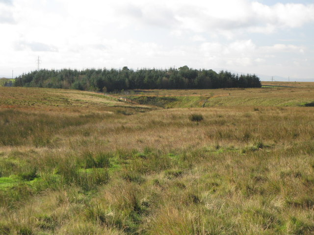
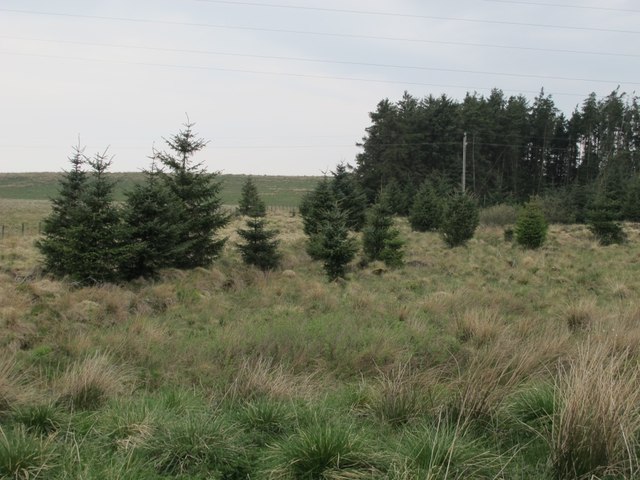
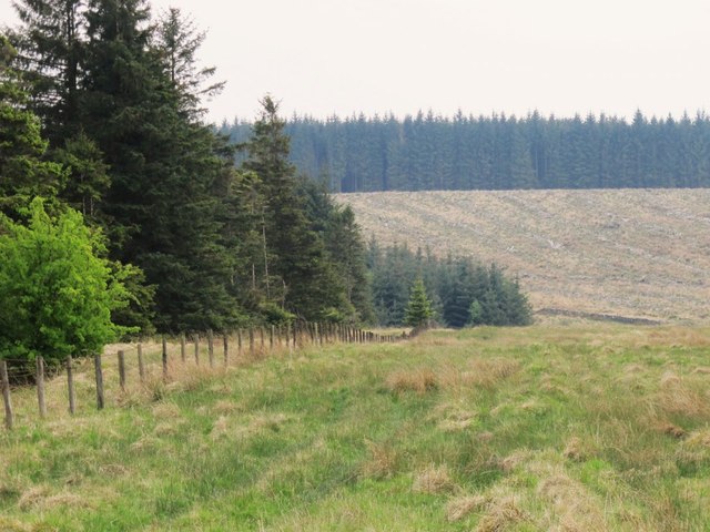
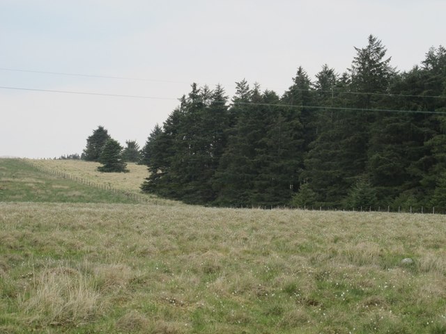
Ash Crag Plantation is a woodland area located in Cumberland, England. It is situated in the northwestern part of the county, near the village of Bewcastle. The plantation covers an expansive area, spanning approximately 500 acres.
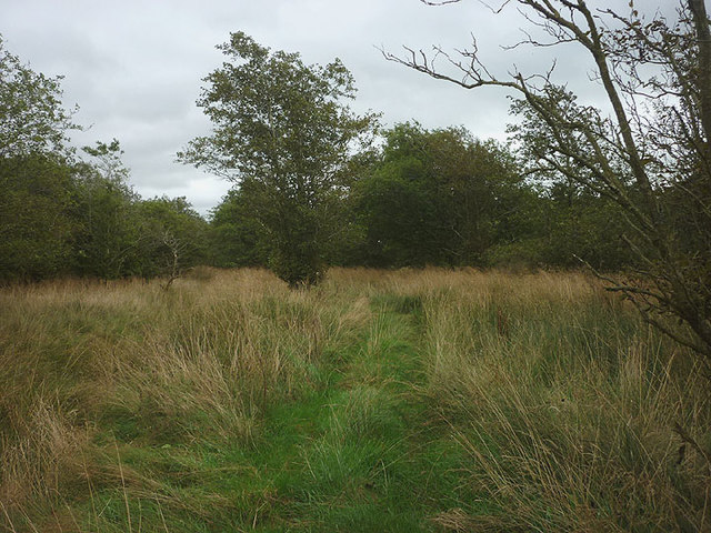
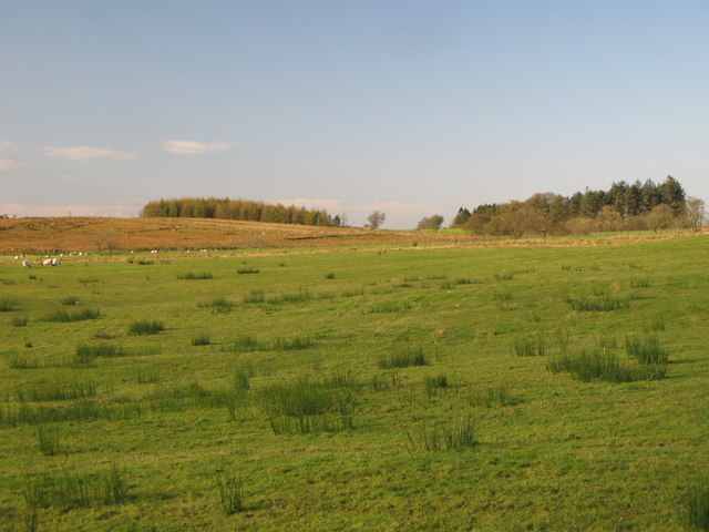
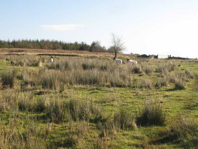
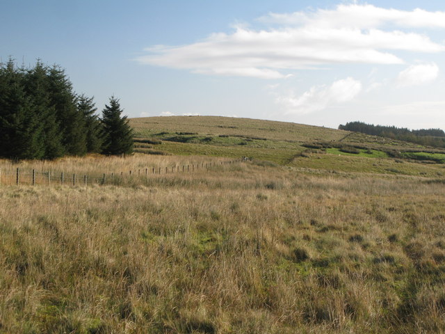
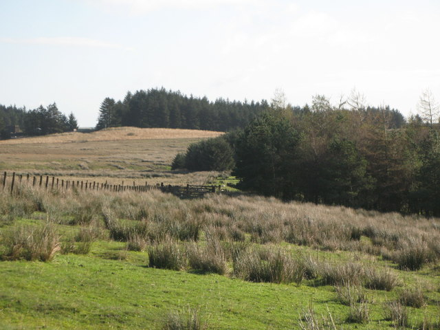
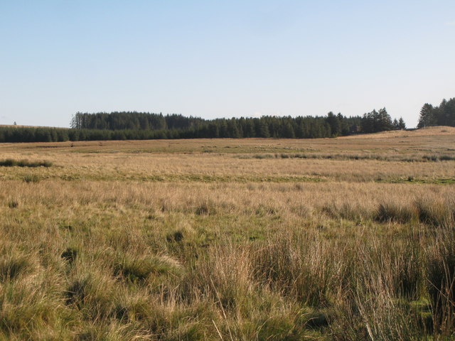
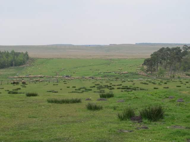
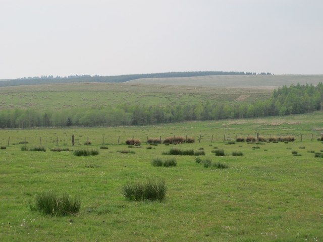
The woodland is predominantly composed of ash trees, hence its name, although a variety of other tree species can also be found within its boundaries. These include oak, birch, and beech trees, which contribute to the diversity of the woodland ecosystem. The plantation is known for its lush and dense forest, providing a habitat for numerous plant and animal species.
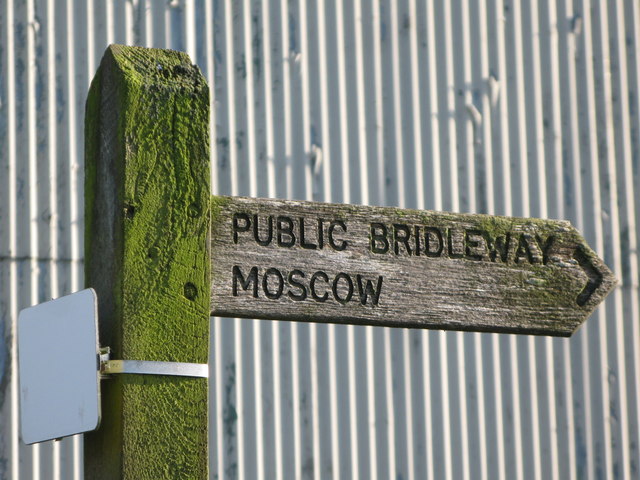
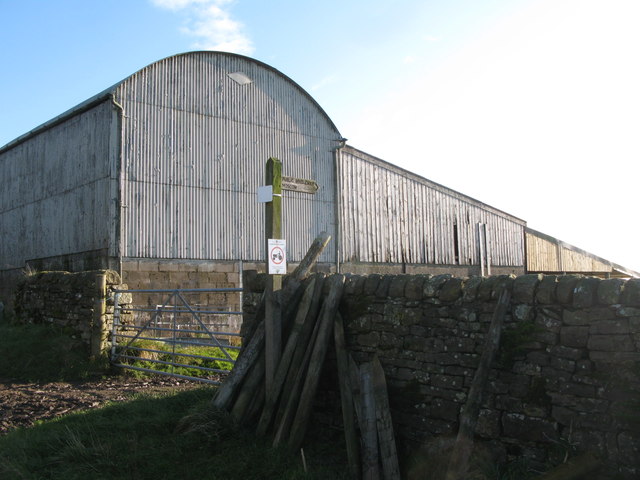
Ash Crag Plantation is a popular destination for nature enthusiasts and hikers. The woodland offers a network of well-maintained trails, allowing visitors to explore its scenic beauty while enjoying a peaceful and tranquil environment. The trails vary in difficulty, catering to both casual walkers and more experienced hikers.
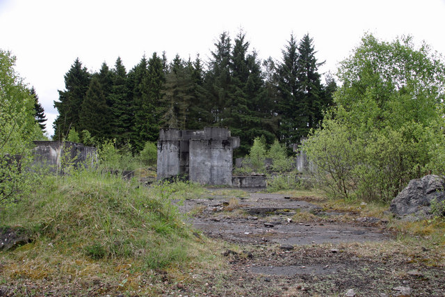
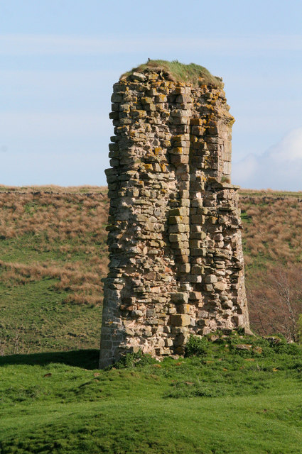
The plantation also possesses historical significance, with several archaeological sites located within its borders. These sites contain remnants of ancient settlements, providing insights into the region's rich history and heritage.
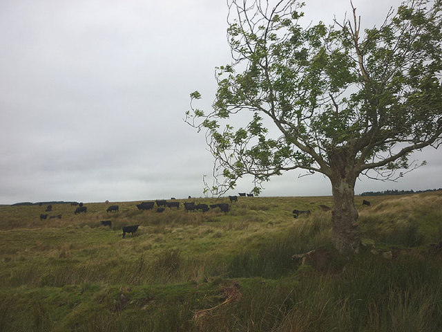
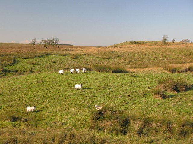
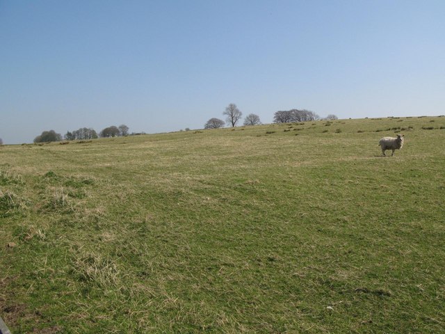
Furthermore, Ash Crag Plantation serves as an important ecological resource, contributing to the preservation of biodiversity in the Cumberland area. It acts as a home to various woodland creatures, including deer, foxes, and a variety of bird species.
Overall, Ash Crag Plantation is a stunning woodland area in Cumberland, offering a perfect blend of natural beauty, historical significance, and ecological value. It provides an ideal setting for outdoor enthusiasts seeking to immerse themselves in nature and explore the region's diverse flora and fauna.
If you have any feedback on the listing, please let us know in the comments section below.
Ash Crag Plantation Images
Images are sourced within 2km of 55.0159/-2.6290134 or Grid Reference NY5969. Thanks to Geograph Open Source API. All images are credited.
Ash Crag Plantation is located at Grid Ref: NY5969 (Lat: 55.0159, Lng: -2.6290134)
Administrative County: Cumbria
District: Carlisle
Police Authority: Cumbria
What 3 Words
///tunes.overdone.craft. Near Greenhead, Northumberland
Nearby Locations
Related Wikis

RAF Spadeadam
RAF Spadeadam (pronounced "Spade Adam") (IATA: N/A, ICAO: EGOM) is a Royal Air Force (RAF) station in Cumbria, England, close to the border with Northumberland...
Triermain Castle
Triermain Castle was a castle near Brampton, Cumbria, England. Triermain, Cumbria (Trewermain, Treverman c 1200): 'homestead at the stone' (Welsh tre(f...

Waterhead, Carlisle
Waterhead is a civil parish in Carlisle district, Cumbria, England. At the 2011 census it had a population of 130.The east and south boundaries of the...

Kingwater
Kingwater is a civil parish in City of Carlisle district, Cumbria, England. At the 2011 census it had a population of 170.The parish is bordered to the...

Limes (Roman Empire)
Līmes (Latin, singular; plural: līmitēs) is a modern term used primarily for the Germanic border defence or delimiting system of Ancient Rome marking the...
Milecastle 50
Milecastle 50 (High House) was a milecastle on Hadrian's Wall (grid reference NY60676601). == Description == Milecastle 50 is west of Birdoswald fort....

Birdoswald
Birdoswald is a former farm in the civil parish of Waterhead in the English county of Cumberland. It stands on the site of the Roman fort of Banna. �...

Banna (Birdoswald)
Birdoswald Roman Fort was known as Banna ("horn" in Celtic) in Roman times, reflecting the geography of the site on a triangular spur of land bounded by...
Nearby Amenities
Located within 500m of 55.0159,-2.6290134Have you been to Ash Crag Plantation?
Leave your review of Ash Crag Plantation below (or comments, questions and feedback).