The Plantation
Wood, Forest in Gloucestershire
England
The Plantation

The Plantation is a beautiful woodland area located in the county of Gloucestershire, England. Situated in the heart of the Forest of Dean, it is a popular destination for nature enthusiasts, hikers, and wildlife lovers. The Plantation covers an expansive area and is rich in diverse flora and fauna, providing a serene and picturesque setting for visitors.
The woodland is predominantly composed of mature oak and beech trees, which create a dense canopy overhead, casting dappled sunlight on the forest floor. This creates an enchanting atmosphere, perfect for leisurely walks and picnics. The Plantation is also home to a variety of other tree species, including birch, hazel, and holly, adding to the visual appeal and biodiversity of the area.
As visitors explore The Plantation, they may encounter an array of wildlife. The woodland is inhabited by a wide range of bird species, such as woodpeckers, nuthatches, and tawny owls. Squirrels can be spotted darting between the trees, and if lucky, one might even catch a glimpse of a roe deer or a fox. The Plantation is also a haven for small mammals, including voles, shrews, and bats.
The woodland offers a network of well-maintained paths and trails, allowing visitors to explore the area at their leisure. These paths cater to different abilities, with some providing easy access for wheelchair users and families with young children. There are also designated areas for picnicking, making it an ideal spot for a day out with family and friends.
Overall, The Plantation in Gloucestershire is a captivating woodland destination that offers a tranquil escape into nature. With its diverse flora and fauna, scenic trails, and peaceful ambiance, it is a must-visit for anyone seeking a respite from the hustle and bustle of everyday life.
If you have any feedback on the listing, please let us know in the comments section below.
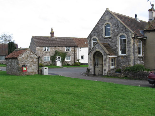
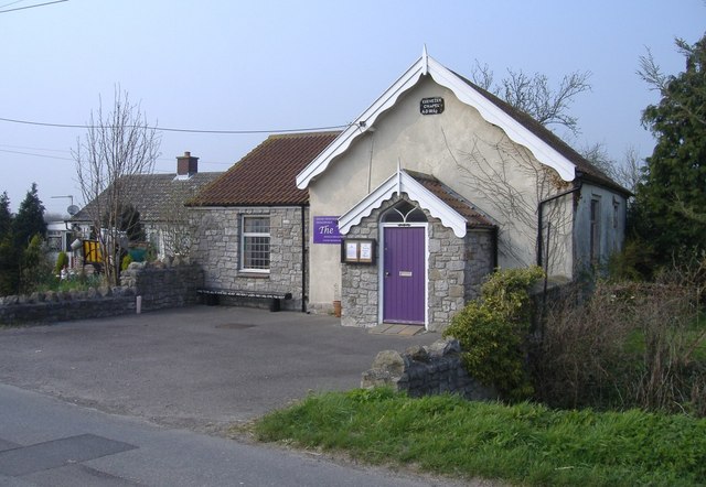
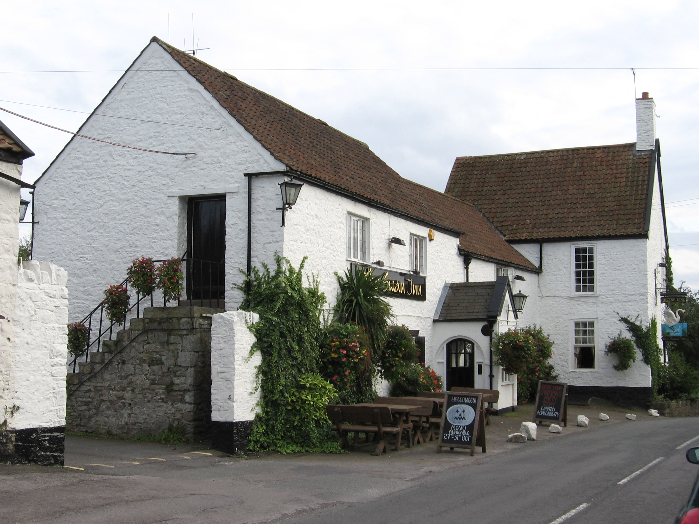
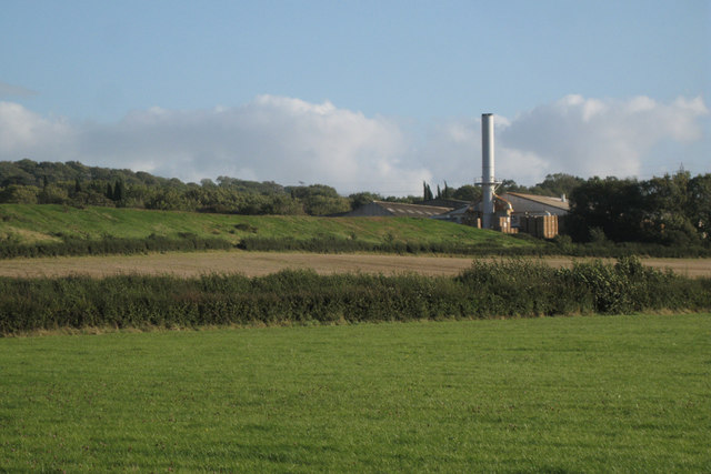
The Plantation Images
Images are sourced within 2km of 51.56673/-2.5802462 or Grid Reference ST5985. Thanks to Geograph Open Source API. All images are credited.


The Plantation is located at Grid Ref: ST5985 (Lat: 51.56673, Lng: -2.5802462)
Unitary Authority: South Gloucestershire
Police Authority: Avon and Somerset
What 3 Words
///rents.roadblock.renewals. Near Almondsbury, Gloucestershire
Nearby Locations
Related Wikis
Awkley
Awkley is a hamlet in the parish of Olveston in South Gloucestershire, England. It lies just off the M4 and M48 junctions. Several streams run in the area...

Almondsbury
Almondsbury (English: ) is a large village near junction 16 of the M5 motorway, in South Gloucestershire, England, and a civil parish which also includes...
Tockington
Tockington is a village in South Gloucestershire, England. Historically the village developed around farming based mainly on the rearing of cattle on the...

Olveston
Olveston is a small village and larger parish in South Gloucestershire, England. The parish comprises the villages of Olveston and Tockington, and the...
Cattybrook Brickpit
Cattybrook Brickpit is a 2.2-hectare (5.4-acre) geological Site of Special Scientific Interest near the village of Almondsbury, South Gloucestershire,...

Roman Glass St George F.C.
Roman Glass St George Football Club is a football club based in the Bristol suburb of St George, Bristol, England. Founded in 1872, they are the oldest...
FC Bristol
FC Bristol is a football club based in Almondsbury, near Bristol, England. Affiliated to the Gloucestershire County FA, they are currently members of the...
Almondsbury F.C.
Almondsbury Football Club is a football club based in Almondsbury, near Bristol, England. Affiliated to the Gloucestershire County FA, they are currently...
Nearby Amenities
Located within 500m of 51.56673,-2.5802462Have you been to The Plantation?
Leave your review of The Plantation below (or comments, questions and feedback).