Highstead Ash Plantation
Wood, Forest in Cumberland Carlisle
England
Highstead Ash Plantation
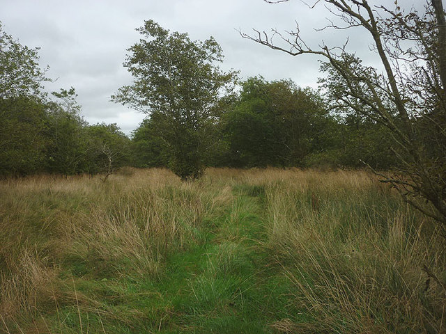
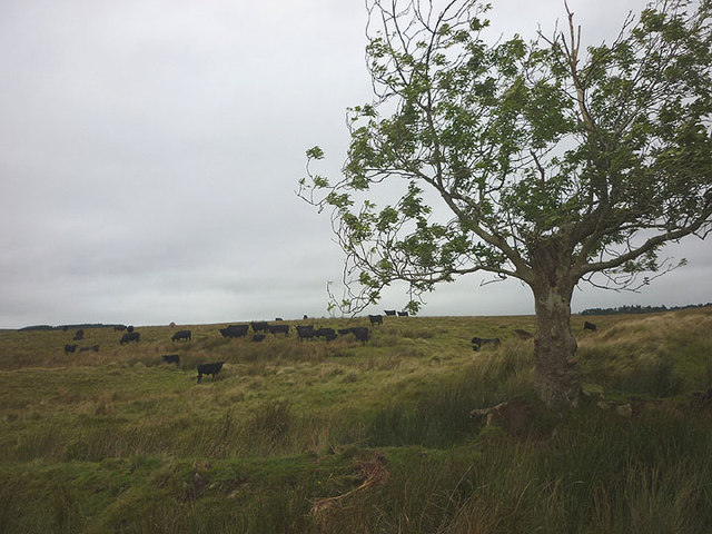
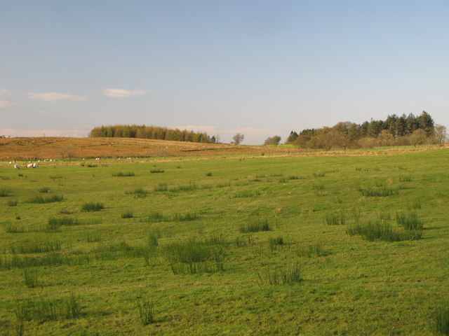
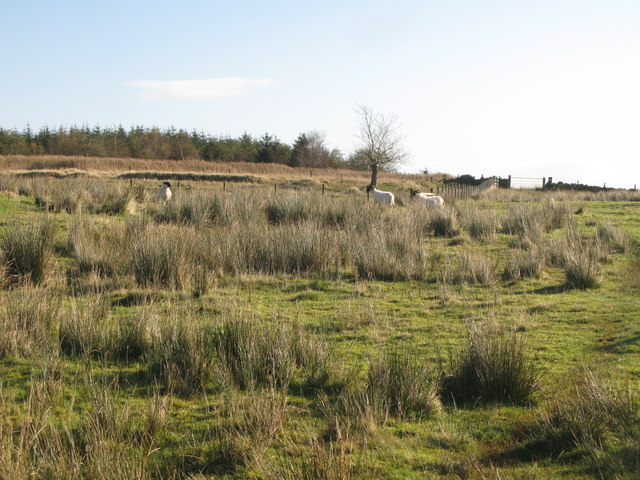
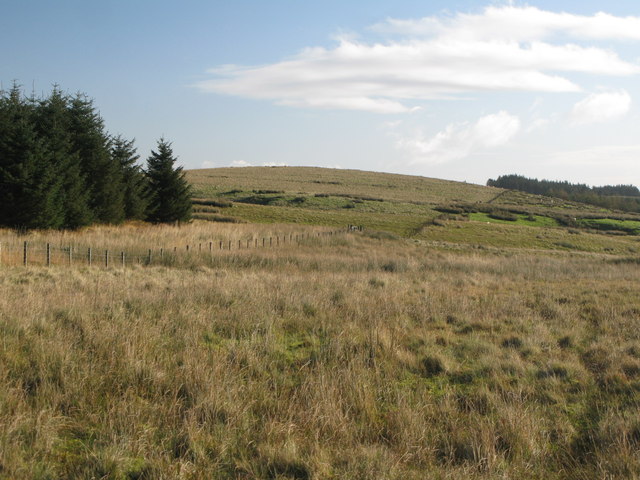
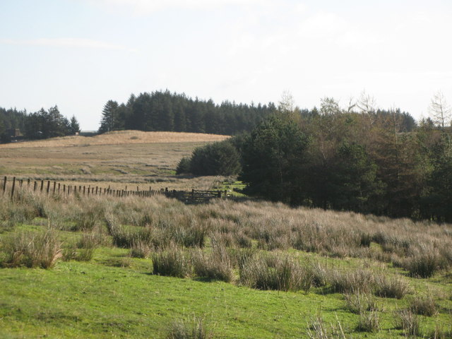
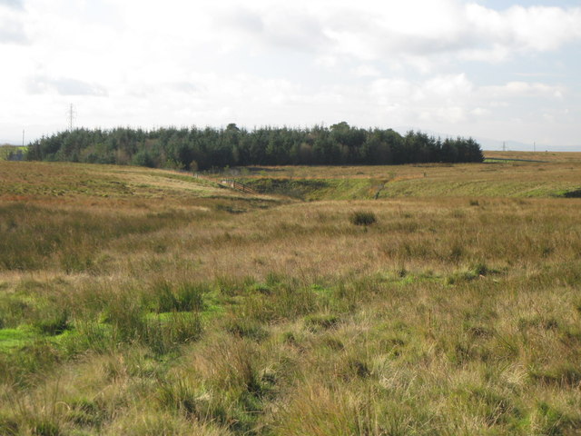
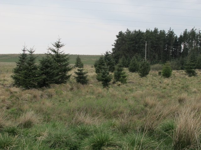
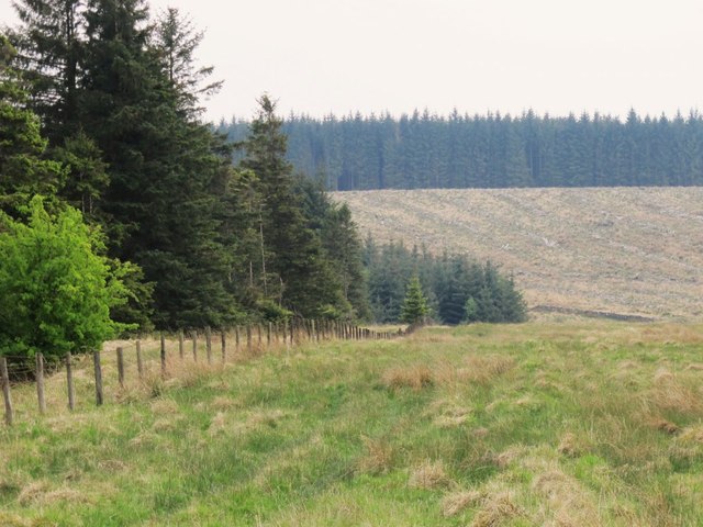
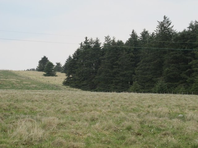
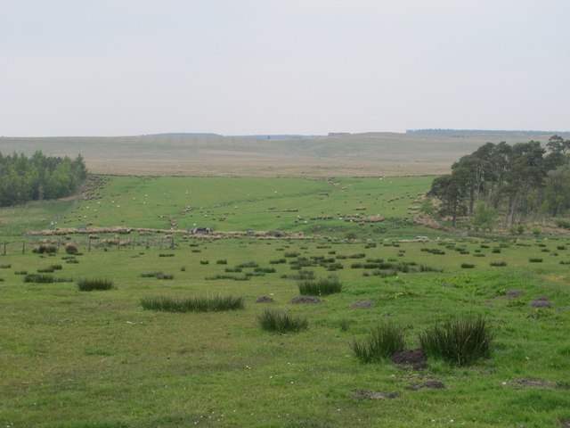
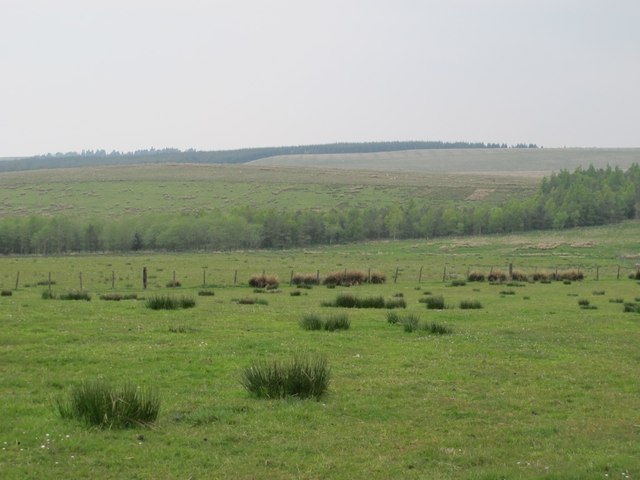
Highstead Ash Plantation is a woodland located in Cumberland, a county in northwest England. It covers an area of approximately 100 acres and is renowned for its dense population of ash trees. The plantation is situated in a picturesque setting, surrounded by rolling hills and bordered by a small river.
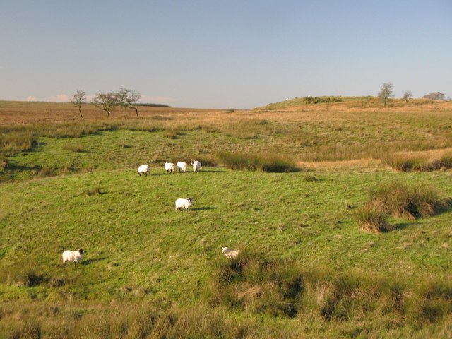
The ash trees in Highstead Ash Plantation are predominantly mature, with some estimated to be over 100 years old. They form a dense canopy, creating a shaded and cool environment underneath. The plantation is known for its biodiversity, as the ash trees provide habitat for a wide variety of plant and animal species. The forest floor is covered with a thick layer of leaf litter, which supports a diverse range of woodland flora.
The woodland is managed by the local forestry commission, which ensures its preservation and sustainability. Regular maintenance activities, such as tree thinning and the removal of invasive species, are carried out to maintain the health and vitality of the plantation.
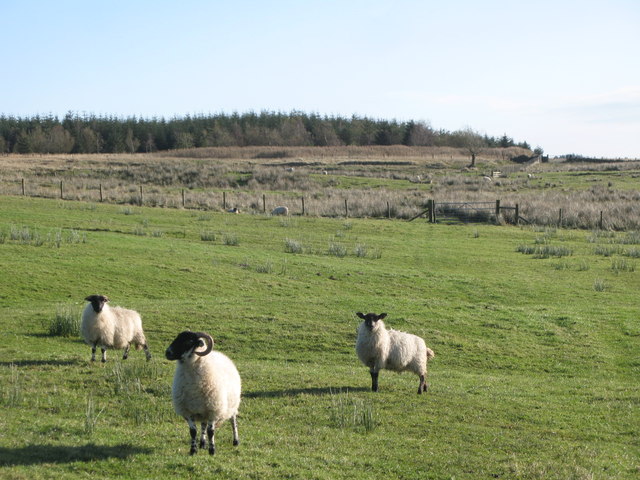
Highstead Ash Plantation is a popular destination for nature enthusiasts, hikers, and birdwatchers. It offers a tranquil and peaceful setting, ideal for leisurely walks and exploring the natural beauty of the area. The plantation also provides an important habitat for various bird species, including woodpeckers, owls, and thrushes, making it a haven for birdwatching enthusiasts.
Overall, Highstead Ash Plantation is a well-managed woodland, cherished for its ancient ash trees and its rich biodiversity. It serves as a valuable natural asset for both the local community and visitors, offering a peaceful retreat and a glimpse into the beauty of the English countryside.
If you have any feedback on the listing, please let us know in the comments section below.
Highstead Ash Plantation Images
Images are sourced within 2km of 55.014609/-2.6283833 or Grid Reference NY5969. Thanks to Geograph Open Source API. All images are credited.


Highstead Ash Plantation is located at Grid Ref: NY5969 (Lat: 55.014609, Lng: -2.6283833)
Administrative County: Cumbria
District: Carlisle
Police Authority: Cumbria
What 3 Words
///hook.beams.scoping. Near Greenhead, Northumberland
Nearby Locations
Related Wikis

RAF Spadeadam
RAF Spadeadam (pronounced "Spade Adam") (IATA: N/A, ICAO: EGOM) is a Royal Air Force (RAF) station in Cumbria, England, close to the border with Northumberland...
Triermain Castle
Triermain Castle was a castle near Brampton, Cumbria, England. Triermain, Cumbria (Trewermain, Treverman c 1200): 'homestead at the stone' (Welsh tre(f...

Waterhead, Carlisle
Waterhead is a civil parish in Carlisle district, Cumbria, England. At the 2011 census it had a population of 130.The east and south boundaries of the...

Limes (Roman Empire)
Līmes (Latin, singular; plural: līmitēs) is a modern term used primarily for the Germanic border defence or delimiting system of Ancient Rome marking the...

Kingwater
Kingwater is a civil parish in City of Carlisle district, Cumbria, England. At the 2011 census it had a population of 170.The parish is bordered to the...
Milecastle 50
Milecastle 50 (High House) was a milecastle on Hadrian's Wall (grid reference NY60676601). == Description == Milecastle 50 is west of Birdoswald fort....

Birdoswald
Birdoswald is a former farm in the civil parish of Waterhead in the English county of Cumberland. It stands on the site of the Roman fort of Banna. �...

Banna (Birdoswald)
Birdoswald Roman Fort was known as Banna ("horn" in Celtic) in Roman times, reflecting the geography of the site on a triangular spur of land bounded by...
Nearby Amenities
Located within 500m of 55.014609,-2.6283833Have you been to Highstead Ash Plantation?
Leave your review of Highstead Ash Plantation below (or comments, questions and feedback).