Lobslack Wood
Wood, Forest in Cheshire
England
Lobslack Wood
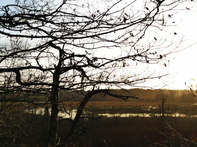
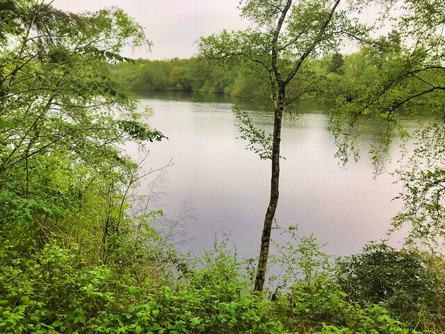
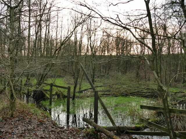
Lobslack Wood is a picturesque forest located in Cheshire, England. It covers an area of approximately 200 acres and is known for its natural beauty and diverse wildlife. The wood is situated near the village of Lobslack, which is nestled in the rolling countryside of the county.
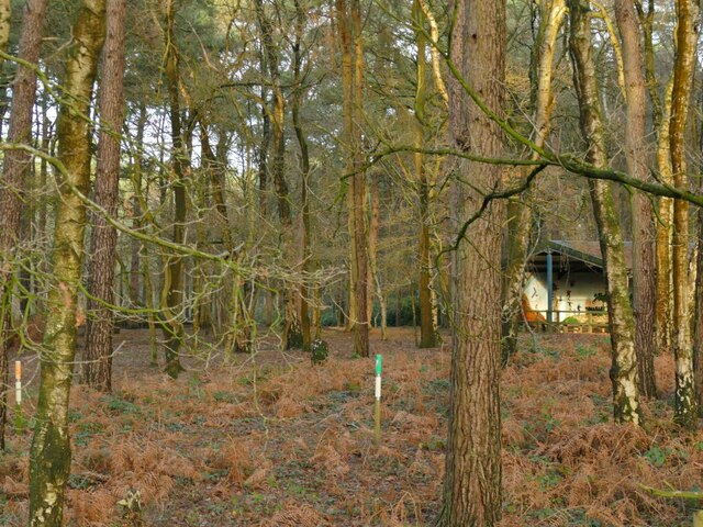
The wood features a mix of deciduous and coniferous trees, including oak, beech, birch, and pine, creating a vibrant and lush landscape. The dense foliage provides a habitat for a wide range of wildlife, including deer, foxes, badgers, and various species of birds.
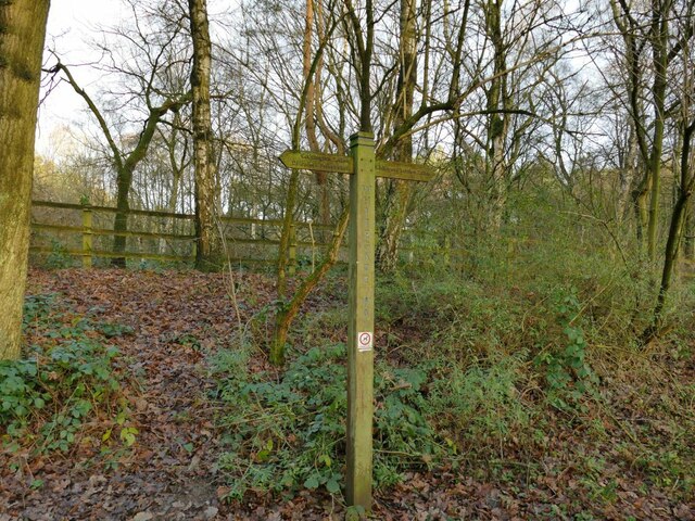
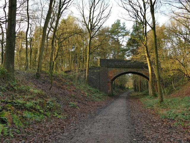
Walking trails meander through the wood, allowing visitors to explore its tranquil surroundings. The paths are well-maintained, making it accessible to both hikers and nature enthusiasts. Along the way, one can spot wildflowers, mushrooms, and ferns that add to the wood's natural charm.
Lobslack Wood is a popular destination for outdoor activities such as hiking, birdwatching, and photography. The forest's peaceful atmosphere and stunning vistas make it an ideal spot for relaxation and connecting with nature. It also serves as an educational resource for schools and nature conservation groups, offering opportunities to learn about the importance of woodland ecosystems and biodiversity.
The wood is easily accessible by car or public transportation, and there is a small parking area available for visitors. Facilities such as picnic tables and benches are scattered throughout the wood, providing a place to rest and enjoy a packed lunch.
In summary, Lobslack Wood in Cheshire is a beautiful and diverse forest that offers a serene escape from the hustle and bustle of everyday life. With its scenic trails and abundant wildlife, it is a must-visit destination for nature lovers and those seeking a peaceful retreat.
If you have any feedback on the listing, please let us know in the comments section below.
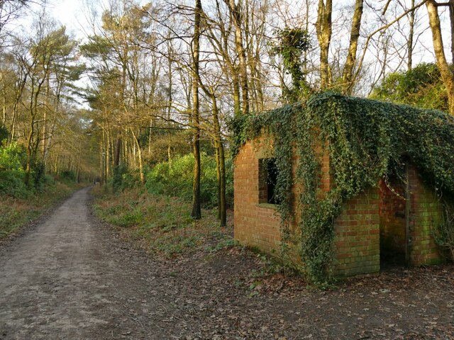
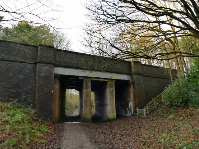
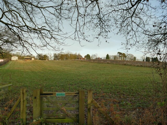
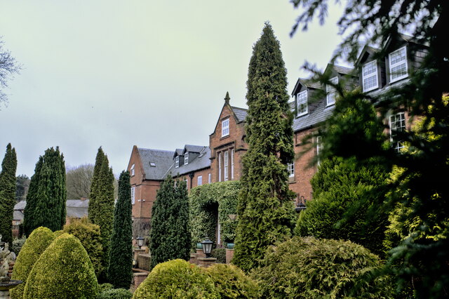
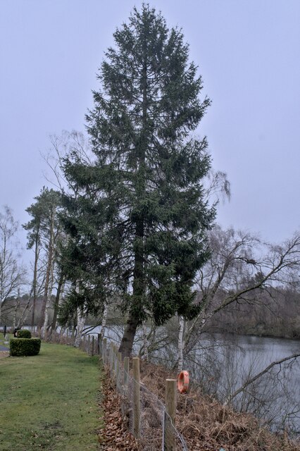
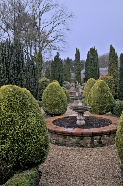
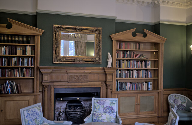
Lobslack Wood Images
Images are sourced within 2km of 53.232172/-2.6146285 or Grid Reference SJ5970. Thanks to Geograph Open Source API. All images are credited.

Lobslack Wood is located at Grid Ref: SJ5970 (Lat: 53.232172, Lng: -2.6146285)
Unitary Authority: Cheshire West and Chester
Police Authority: Cheshire
What 3 Words
///shudders.bonkers.castle. Near Cuddington, Cheshire
Nearby Locations
Related Wikis

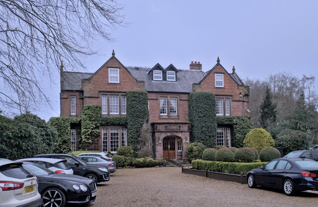
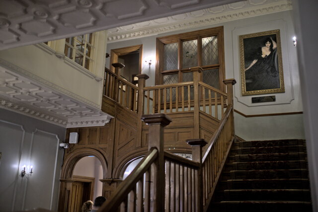
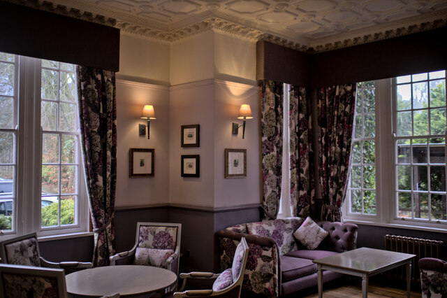
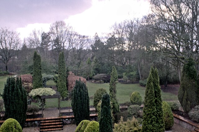
Oakmere Hall
Oakmere Hall is a large house to the southwest of the villages of Cuddington and Sandiway, Cheshire, England, near the junction of the A49 and A556 roads...
Sandiway
Sandiway is a village in the civil parish of Cuddington, Cheshire, England. It lies to the southeast of and is contiguous with the village of Cuddington...

Bluecap Memorial
The Bluecap Memorial stands in the yard of the Cheshire Hunt Kennels in Kennel Lane, Sandiway, Cheshire, England. Bluecap was a Cheshire foxhound that...
Cuddington, Eddisbury
Cuddington is a civil parish and rural village in the unitary authority of Cheshire West and Chester and the ceremonial county of Cheshire, England, about...
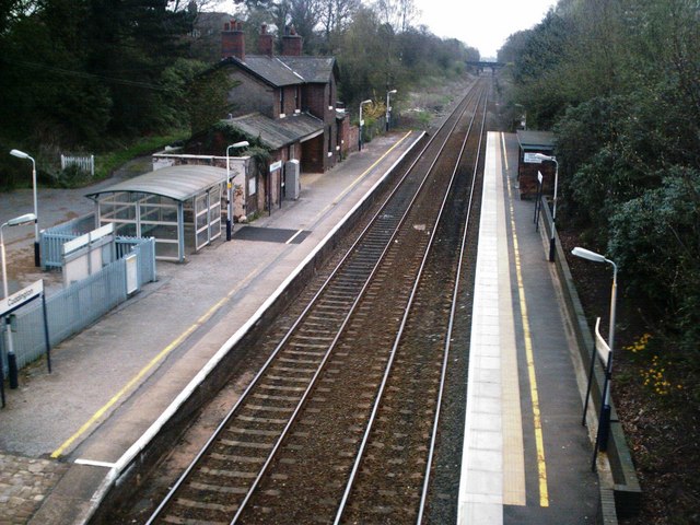
Cuddington railway station
Cuddington railway station serves the village of Cuddington in Cheshire, England. Opened in 1869 by the West Cheshire Railway, it is located 12+1⁄2 miles...
The Homestead, Sandiway
The Homestead (now Redwalls) is a large house in Weaverham Road, Sandiway, Cheshire, England. It is recorded in the National Heritage List for England...

St John the Evangelist's Church, Sandiway
St John the Evangelist's Church is in the village of Sandiway, Cheshire, England. It is an active Anglican parish church of Sandiway and Cuddington in...
Model Cottage, Sandiway
Model Cottage, Sandiway is a house in the village of Sandiway, Cheshire, England. It is recorded in the National Heritage List for England as a designated...
Nearby Amenities
Located within 500m of 53.232172,-2.6146285Have you been to Lobslack Wood?
Leave your review of Lobslack Wood below (or comments, questions and feedback).