Hoarthorns Wood
Wood, Forest in Gloucestershire Forest of Dean
England
Hoarthorns Wood

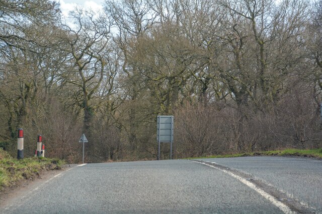
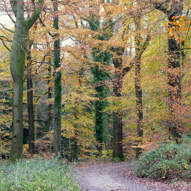
Hoarthorns Wood is a picturesque forest located in the county of Gloucestershire, England. Covering an area of approximately 100 acres, this woodland is known for its natural beauty and serene atmosphere. It is situated on the outskirts of the village of Hoarthorns, which lends its name to the wood.
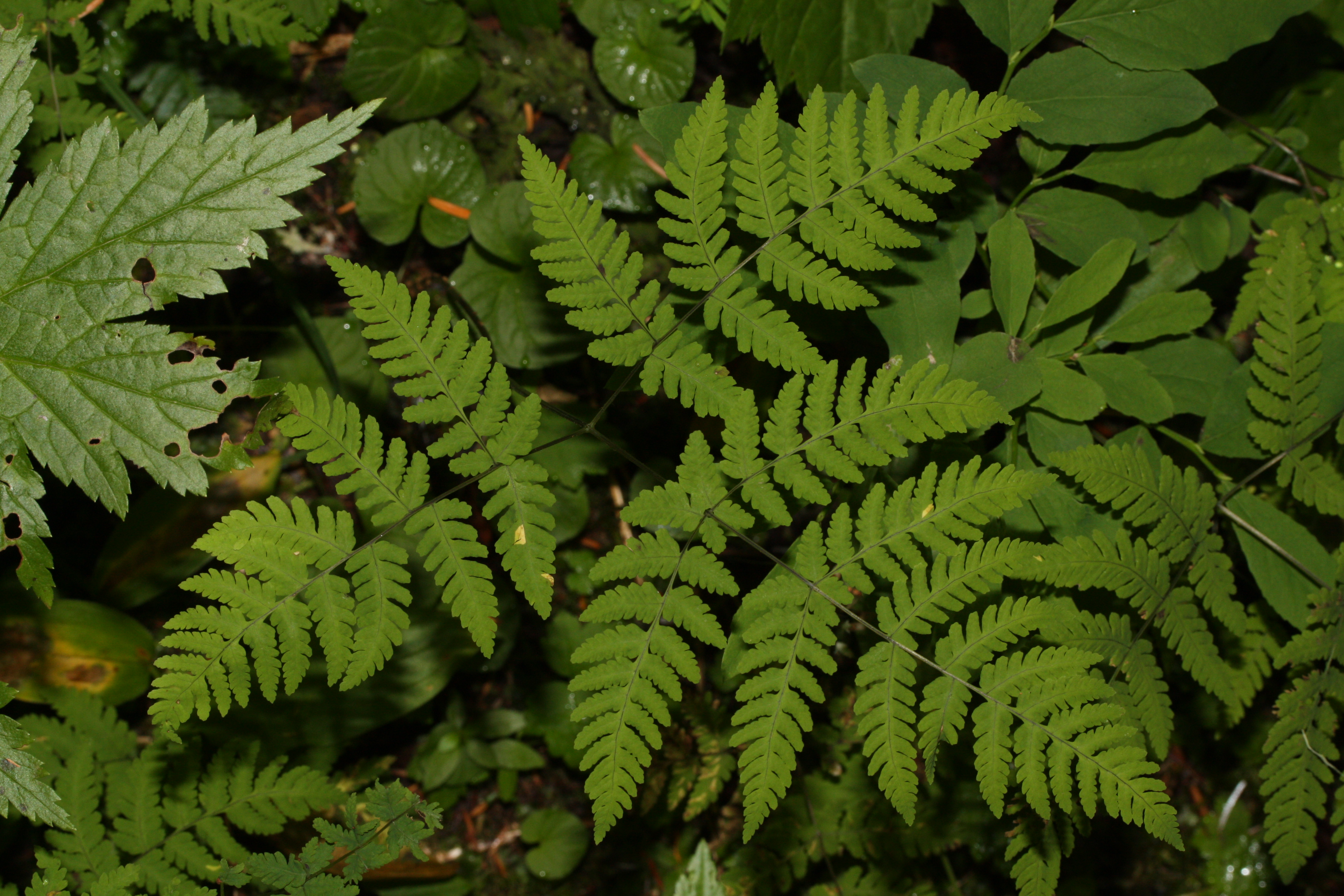
The wood is predominantly made up of a variety of deciduous trees, such as oak, beech, and ash, which create a dense canopy and provide a habitat for a diverse range of wildlife. The forest floor is covered with a thick carpet of leaf litter and moss, creating a soft and tranquil environment for visitors to explore.
Trails and footpaths crisscross the wood, offering visitors the opportunity to immerse themselves in nature. These paths vary in difficulty, catering to both casual walkers and more adventurous hikers. Along the way, walkers may encounter small streams and glistening ponds, adding an element of enchantment to the experience.
Hoarthorns Wood is a popular destination for nature lovers, birdwatchers, and photographers. The forest is home to a multitude of bird species, including woodpeckers, owls, and various songbirds. Wildlife enthusiasts may also spot rabbits, squirrels, and even the occasional deer.
The wood is managed by the local forestry commission, ensuring its preservation and protection. Visitors are encouraged to respect the natural surroundings, taking only photographs and leaving only footprints.
Overall, Hoarthorns Wood offers a tranquil escape from the hustle and bustle of everyday life, providing a haven for both humans and wildlife alike.
If you have any feedback on the listing, please let us know in the comments section below.
Hoarthorns Wood Images
Images are sourced within 2km of 51.819147/-2.5954969 or Grid Reference SO5913. Thanks to Geograph Open Source API. All images are credited.


Hoarthorns Wood is located at Grid Ref: SO5913 (Lat: 51.819147, Lng: -2.5954969)
Administrative County: Gloucestershire
District: Forest of Dean
Police Authority: Gloucestershire
What 3 Words
///downs.journey.mocking. Near Lydbrook, Gloucestershire
Nearby Locations
Related Wikis

Edge End, Gloucestershire
Edge End is a small hamlet in west Gloucestershire, England. == Location and amenities == Edge End is about 1.5 miles NW of Coleford and about 1 mile north...
Slaughter Stream Cave
Slaughter Stream Cave, also known as Wet Sink, is a cave system in the Wye Valley, Forest of Dean. A series of fixed ladders and two pitches lead to sporting...

Brooks Head Grove
Brooks Head Grove (grid reference SO586145) is an 11.9-hectare (29-acre) biological Site of Special Scientific Interest in Gloucestershire, notified in...

Royal Forest of Dean College
Royal Forest of Dean College was a college of further education located close to the town of Coleford, in the Forest of Dean in west Gloucestershire. It...
Five Acres High School
Five Acres High School, formerly Lakers School, is an academy in Coleford, Gloucestershire. Simon Phelps is the Headteacher, Five Acres is an Academy which...
Wimberry Quarries
Wimberry Quarries (grid reference SO594121) is a 2-hectare (4.9-acre) nature reserve in Gloucestershire in the Forest of Dean.The site is held under agreement...

Eastbach Court
Eastbach Court is a historic Grade II listed mansion in English Bicknor, Gloucestershire, England. == History == The house was built on a former messuage...
Berry Hill, Gloucestershire
Berry Hill is a village in Gloucestershire, England, 1.5 miles north of the town of Coleford. Berry Hill includes the settlements of Five Acres to the...
Nearby Amenities
Located within 500m of 51.819147,-2.5954969Have you been to Hoarthorns Wood?
Leave your review of Hoarthorns Wood below (or comments, questions and feedback).