Edge End
Settlement in Gloucestershire Forest of Dean
England
Edge End

Edge End is a small village located in the county of Gloucestershire, in the southwest of England. Situated in the picturesque Cotswolds area, Edge End is known for its stunning natural beauty and charming rural character. The village is nestled amidst rolling hills and lush green fields, offering breathtaking views of the surrounding countryside.
With a population of around 200 residents, Edge End has a close-knit community that embraces its peaceful and tranquil atmosphere. The village primarily consists of traditional stone cottages, giving it a timeless appeal. The local architecture reflects the area's rich history, with some buildings dating back several centuries.
Edge End is surrounded by an abundance of outdoor recreational opportunities. The nearby Cotswolds Area of Outstanding Natural Beauty provides ample opportunities for walking, hiking, and cycling, with numerous trails and pathways to explore. Additionally, the village is close to several nature reserves and parks, allowing residents and visitors to appreciate the diverse flora and fauna of the region.
Despite its rural setting, Edge End benefits from good connectivity. The village is within easy reach of larger towns such as Stroud and Cheltenham, which offer a range of amenities including shops, schools, and healthcare facilities. The M5 motorway is also conveniently accessible, providing links to other major cities in the region.
Edge End offers a tranquil and idyllic lifestyle for those seeking a peaceful retreat amidst the natural splendor of the Cotswolds. Its picturesque setting, friendly community, and proximity to amenities make it an attractive place to live or visit for nature enthusiasts and those looking to escape the hustle and bustle of urban life.
If you have any feedback on the listing, please let us know in the comments section below.
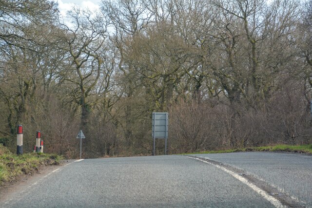
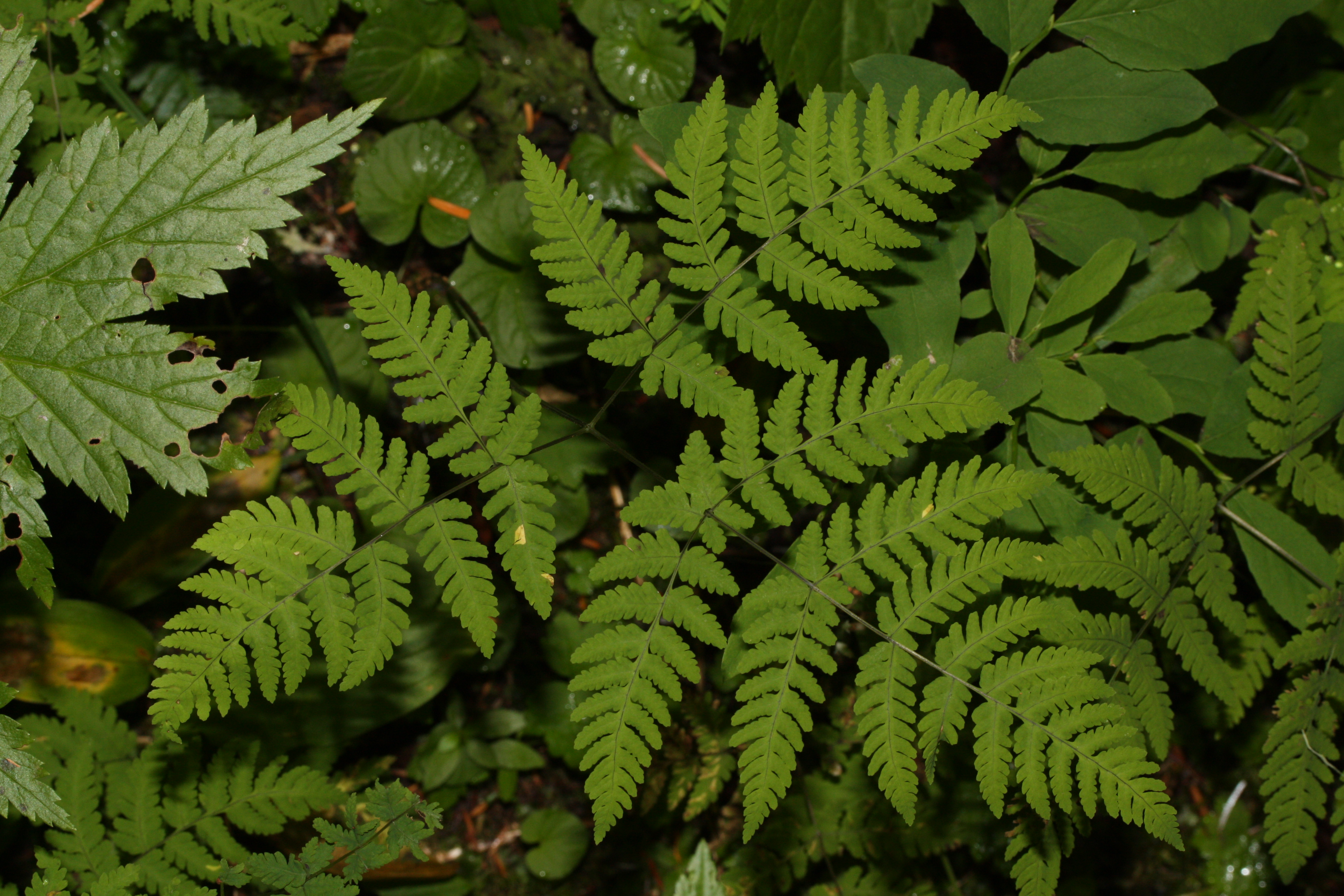
Edge End Images
Images are sourced within 2km of 51.816342/-2.592586 or Grid Reference SO5913. Thanks to Geograph Open Source API. All images are credited.


Edge End is located at Grid Ref: SO5913 (Lat: 51.816342, Lng: -2.592586)
Administrative County: Gloucestershire
District: Forest of Dean
Police Authority: Gloucestershire
What 3 Words
///proudest.geek.tent. Near Lydbrook, Gloucestershire
Nearby Locations
Related Wikis

Edge End, Gloucestershire
Edge End is a small hamlet in west Gloucestershire, England. == Location and amenities == Edge End is about 1.5 miles NW of Coleford and about 1 mile north...
Wimberry Quarries
Wimberry Quarries (grid reference SO594121) is a 2-hectare (4.9-acre) nature reserve in Gloucestershire in the Forest of Dean. The site is held under agreement...
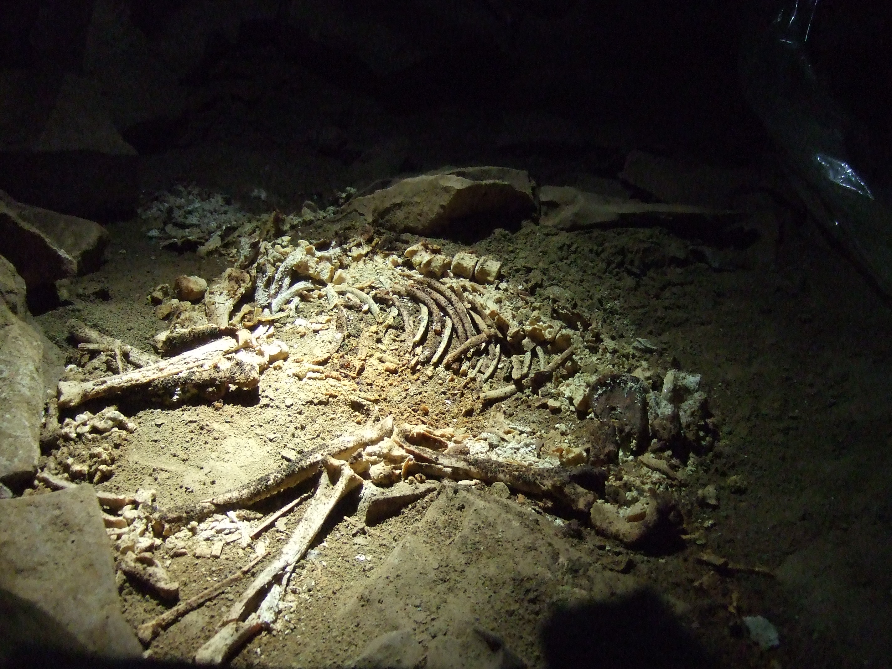
Slaughter Stream Cave
Slaughter Stream Cave, also known as Wet Sink, is a cave system in the Wye Valley, Forest of Dean. A series of fixed ladders and two pitches lead to sporting...

Royal Forest of Dean College
Royal Forest of Dean College was a college of further education located close to the town of Coleford, in the Forest of Dean in west Gloucestershire. It...
Nearby Amenities
Located within 500m of 51.816342,-2.592586Have you been to Edge End?
Leave your review of Edge End below (or comments, questions and feedback).