Edge End

Settlement in Lancashire Hyndburn

England

Edge End

Footpath leading to Dean Clough Reservoir The style for the footpath leading across the field opposite the layby on Blackburn Old Road. Both York Road and Dean Clough reservoir can be accessed using the footpath.
Footpath leading to Dean Clough Reservoir Credit: Steve Houldsworth

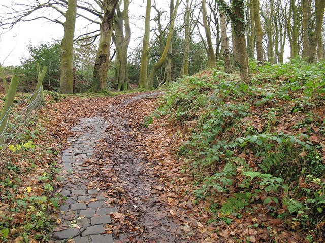
Edge End is a small hamlet located in the county of Lancashire, England. Situated in the Rossendale Valley, it lies approximately 3 miles north of the town of Bacup and 18 miles east of the city of Preston. Surrounded by picturesque countryside, Edge End offers a peaceful and rural setting for its residents.

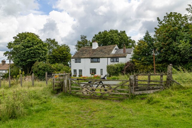
The hamlet is characterized by a cluster of traditional stone-built houses, many of which date back to the 19th century. These properties, along with the local church, create a charming and quaint atmosphere in Edge End. The area is largely residential, with a small number of local businesses serving the community.

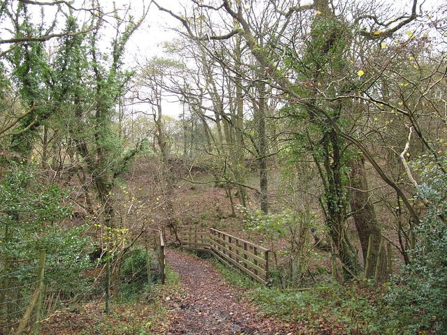
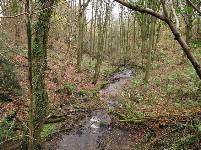
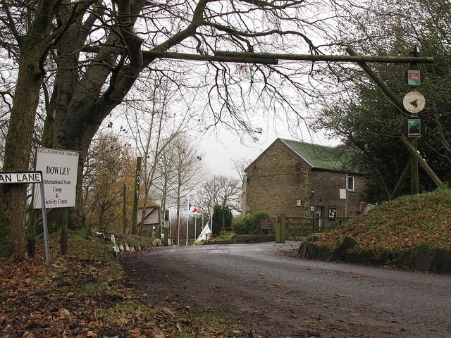
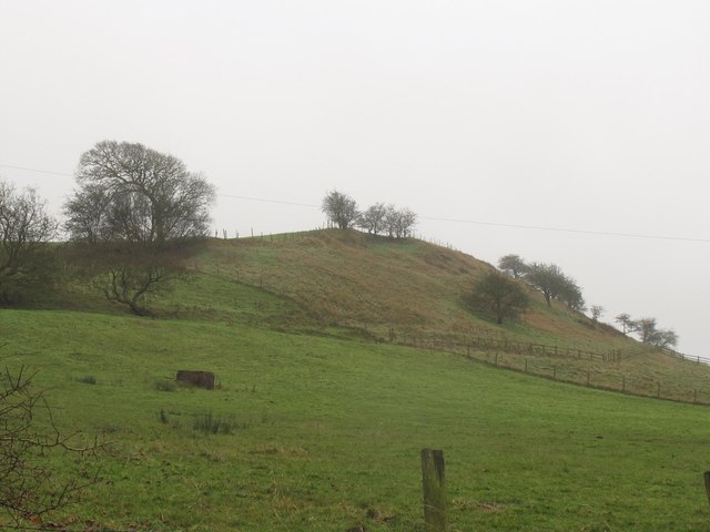
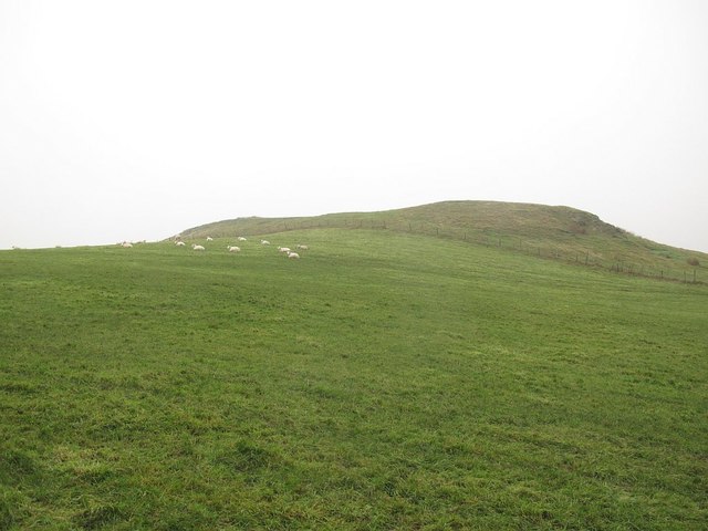
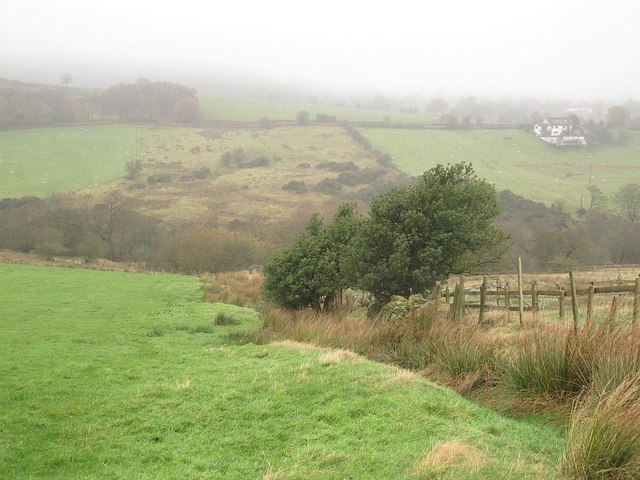
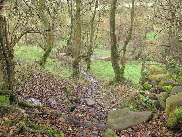
Edge End benefits from its proximity to the wider Rossendale Valley, which offers a range of amenities and outdoor activities. The nearby town of Bacup provides shopping facilities, schools, and healthcare services. The area is also known for its beautiful landscapes, making it a popular destination for walkers, cyclists, and nature enthusiasts. The surrounding hills and moorlands offer stunning views and opportunities for outdoor exploration.

Transportation links in Edge End are limited, with access primarily by road. The hamlet is well-connected to the wider region, with the A681 road passing nearby, providing links to Bacup and other nearby towns. Public transportation options are available from Bacup, with regular bus services connecting to larger towns and cities in the region.

In summary, Edge End is a small and picturesque hamlet in Lancashire, offering a peaceful and rural lifestyle within close proximity to the amenities and natural beauty of the Rossendale Valley.

If you have any feedback on the listing, please let us know in the comments section below.
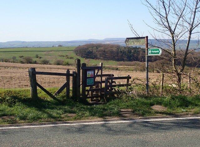
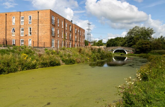
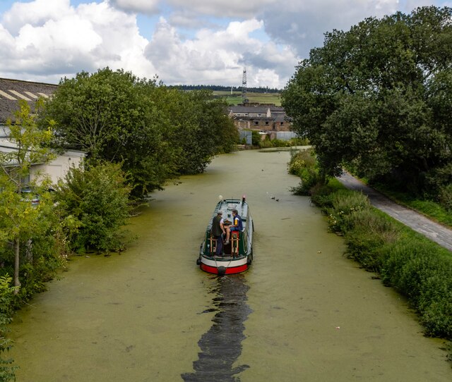
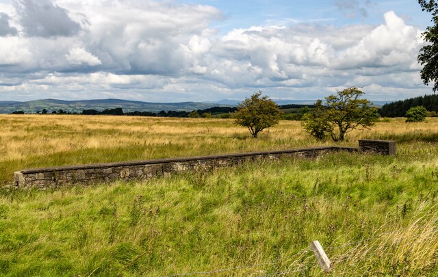
Edge End Images

Images are sourced within 2km of 53.786741/-2.417364 or Grid Reference SD7232. Thanks to Geograph Open Source API. All images are credited.

Footpath leading to Dean Clough Reservoir The style for the footpath leading across the field opposite the layby on Blackburn Old Road. Both York Road and Dean Clough reservoir can be accessed using the footpath.
Footpath leading to Dean Clough Reservoir
The style for the footpath leading across the field opposite the layby on Blackburn Old Road. Both York Road and Dean Clough reservoir can be accessed using the footpath.
Stile Old Nab Road The stile on Old Nab Road just out of York Village. The style provides access to more than one path.
Stile Old Nab Road
The stile on Old Nab Road just out of York Village. The style provides access to more than one path.
Melrose House Melrose House in Rishton, alongside the Leeds & Liverpool Canal.
Melrose House
Melrose House in Rishton, alongside the Leeds & Liverpool Canal.
Leeds & Liverpool Canal The Leeds and Liverpool Canal is the longest canal in Northern England at 127 miles long. The first of the trans-Pennine canals it took 46 years to build at a cost of five times the original budget, mainly because of the length and complexity of the route. It passes through 91 locks with a summit level of 487 feet at Foulridge near Nelson and Colne. It was originally conceived in the 18th century to carry woollen goods from Leeds and Bradford and limestone from Skipton but in its 19th century heyday it carried stone, coal and many other goods. The impact of the railways was not as great as with other canals and commercial traffic continued along the main canal until 1964. Regular work stopped in 1972 when the movement of coal to Wigan Power Station ceased. In the latter part of the 20th century the leisure potential of the canal was developed and it is now a popular destination for cruising, fishing, walking and cycling. See <span class="nowrap"><a title="http://www.penninewaterways.co.uk/ll/index.htm" rel="nofollow ugc noopener" href="http://www.penninewaterways.co.uk/ll/index.htm">Link</a><img style="margin-left:2px;" alt="External link" title="External link - shift click to open in new window" src="https://s1.geograph.org.uk/img/external.png" width="10" height="10"/></span> for detailed information.
Leeds & Liverpool Canal
The Leeds and Liverpool Canal is the longest canal in Northern England at 127 miles long. The first of the trans-Pennine canals it took 46 years to build at a cost of five times the original budget, mainly because of the length and complexity of the route. It passes through 91 locks with a summit level of 487 feet at Foulridge near Nelson and Colne. It was originally conceived in the 18th century to carry woollen goods from Leeds and Bradford and limestone from Skipton but in its 19th century heyday it carried stone, coal and many other goods. The impact of the railways was not as great as with other canals and commercial traffic continued along the main canal until 1964. Regular work stopped in 1972 when the movement of coal to Wigan Power Station ceased. In the latter part of the 20th century the leisure potential of the canal was developed and it is now a popular destination for cruising, fishing, walking and cycling. See LinkExternal link for detailed information.
Hen Moss The only visible remains of the property at Hen Moss on Blackburn Old Road.
Hen Moss
The only visible remains of the property at Hen Moss on Blackburn Old Road.
Four Winds
Four Winds
Communications Mast
Communications Mast
Dean Bridge A wooden footbridge taking Dean Lane (the historic route from Whalley to Great Harwood) across the brook in the bottom of Dean Wood.
Dean Bridge
A wooden footbridge taking Dean Lane (the historic route from Whalley to Great Harwood) across the brook in the bottom of Dean Wood.
Dean Brook Looking downstream from the footbridge <a href="https://www.geograph.org.uk/photo/4759472">SD7334 : Dean Bridge</a>.
Dean Brook
Looking downstream from the footbridge SD7334 : Dean Bridge.
Dean Lane with setts A setted surface on the steepest part of the hill above Dean Brook (gradient approx. 1:4).
Dean Lane with setts
A setted surface on the steepest part of the hill above Dean Brook (gradient approx. 1:4).
Entrance to Bowley Scout Camp Viewed from the public bridleway, Dean Lane.  You can just about see that the French flag is flying at half mast in the camp, in tribute to the victims of the Islamist attack in Paris a few days earlier.
Entrance to Bowley Scout Camp
Viewed from the public bridleway, Dean Lane. You can just about see that the French flag is flying at half mast in the camp, in tribute to the victims of the Islamist attack in Paris a few days earlier.
Tower near Bowley Scout Camp I don't know whether there is any connection between this concrete tower and the scout camp the other side of Dean Lane, but there might be. It would be the logical place for their sewage treatment, close to the brook, but why such a tall tower if so? See also <a href="https://www.geograph.org.uk/photo/4759501">SD7333 : Tower near Bowley Scout Camp</a>.
Tower near Bowley Scout Camp
I don't know whether there is any connection between this concrete tower and the scout camp the other side of Dean Lane, but there might be. It would be the logical place for their sewage treatment, close to the brook, but why such a tall tower if so? See also SD7333 : Tower near Bowley Scout Camp.
Tower near Bowley Scout Camp I don't know whether there is any connection between this concrete tower and the scout camp the other side of Dean Lane, but there might be. It would be the logical place for their sewage treatment, close to the brook, but why such a tall tower if so? See also <a href="https://www.geograph.org.uk/photo/4759497">SD7333 : Tower near Bowley Scout Camp</a> taken from below the tower.
Tower near Bowley Scout Camp
I don't know whether there is any connection between this concrete tower and the scout camp the other side of Dean Lane, but there might be. It would be the logical place for their sewage treatment, close to the brook, but why such a tall tower if so? See also SD7333 : Tower near Bowley Scout Camp taken from below the tower.
Bowley Hill from the north-east The hill, with a summit of just height over 200m, overlooks Dean Clough to the right.
Bowley Hill from the north-east
The hill, with a summit of just height over 200m, overlooks Dean Clough to the right.
Bowley Hill from the east The hill, with a summit of just height over 200m, overlooks Dean Clough beyond. See also <a href="https://www.geograph.org.uk/photo/4759511">SD7233 : Bowley Hill from the north-east</a>.  Photo taken from the stile <a href="https://www.geograph.org.uk/photo/1691079">SD7233 : Footpath to Bowley Hill</a> at the start of the footpath that passes to the right of the summit.
Bowley Hill from the east
The hill, with a summit of just height over 200m, overlooks Dean Clough beyond. See also SD7233 : Bowley Hill from the north-east. Photo taken from the stile SD7233 : Footpath to Bowley Hill at the start of the footpath that passes to the right of the summit.
Descending Bowley Hill in the mist Visibility actually looked worse to the naked eye than it does in this photo.  As the mist came down, I was wondering about cutting short my walk and heading into Whalley by road, but by the time I reached the next road the mist was clearing.
Descending Bowley Hill in the mist
Visibility actually looked worse to the naked eye than it does in this photo. As the mist came down, I was wondering about cutting short my walk and heading into Whalley by road, but by the time I reached the next road the mist was clearing.
Higher Dean Wood A small wood in the bottom of Dean Clough.
Higher Dean Wood
A small wood in the bottom of Dean Clough.
Footbridge in Higher Dean Wood A bridge across the brook in the bottom of Dean Clough. The reason for low flow in the stream is that the clough is dammed higher up <a href="https://www.geograph.org.uk/photo/1248668">SD7133 : The dam wall of Dean Clough reservoir.</a>.
Footbridge in Higher Dean Wood
A bridge across the brook in the bottom of Dean Clough. The reason for low flow in the stream is that the clough is dammed higher up SD7133 : The dam wall of Dean Clough reservoir..
Show me another place!

Edge End is located at Grid Ref: SD7232 (Lat: 53.786741, Lng: -2.417364)

Administrative County: Lancashire

District: Hyndburn

Police Authority: Lancashire

What 3 Words

///tone.bland.tone. Near Great Harwood, Lancashire

Nearby Locations

Edge End

Related Wikis

Great Harwood

Great Harwood is a town in the Hyndburn district of Lancashire, England, located 5 miles (8.0 km) north east of Blackburn and adjacent to the Ribble Valley...

Great Harwood Town Hall

Great Harwood Town Hall is a municipal building in Town Hall Square, Great Harwood, Lancashire, England. The town hall, which was the headquarters of Great...

St John's Church, Great Harwood

St John's Church was an Anglican parish church in St Hubert's Road, Great Harwood, Lancashire, England. Its benefice has been united with that of St Bartholomew...

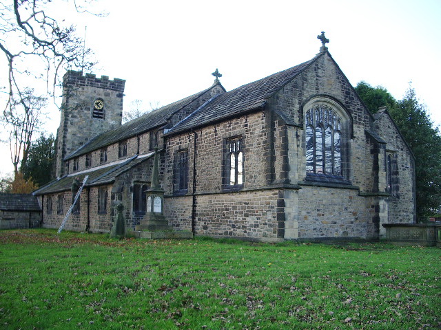
St Bartholomew's Church, Great Harwood

St Bartholomew's Church is in the town of Great Harwood in Lancashire, England. It is an active Anglican parish church in the Diocese of Blackburn. The...

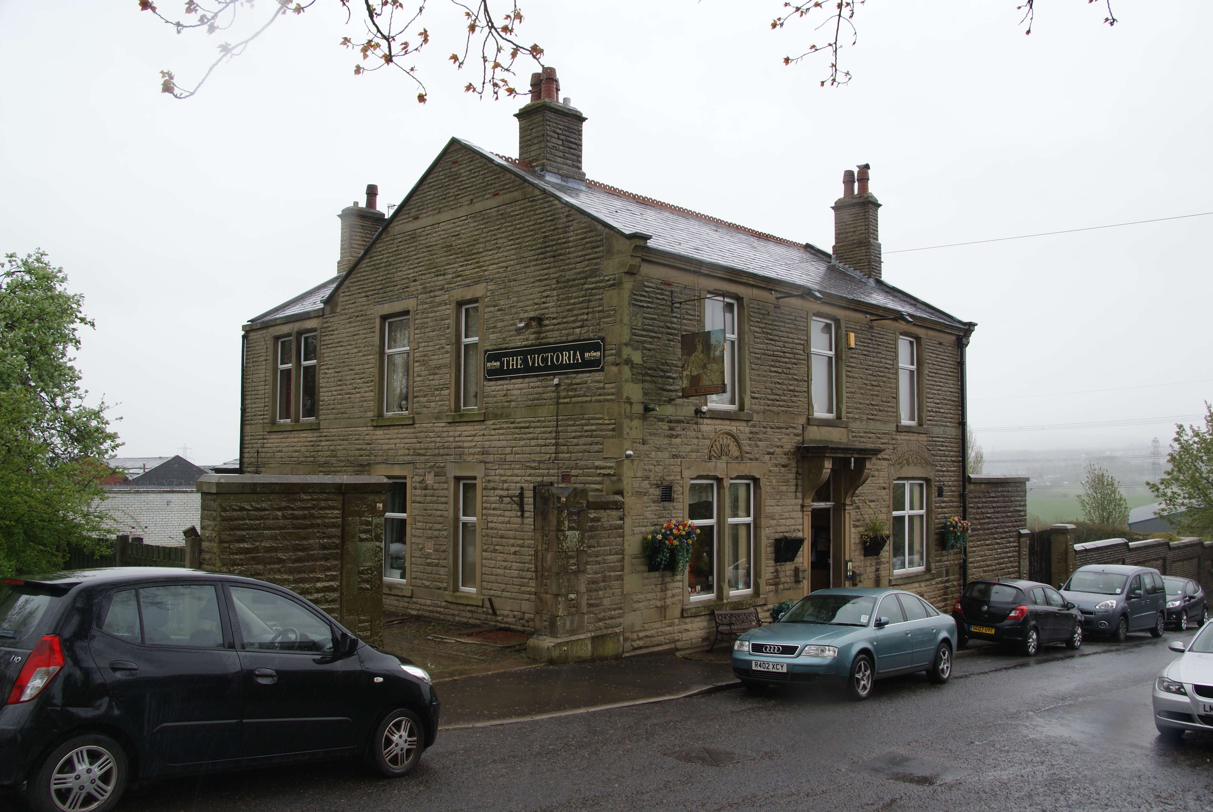
The Victoria, Great Harwood

The Victoria is a Grade II listed public house at St John's Street, Great Harwood, Blackburn, Lancashire BB6 7EP.It is on the Campaign for Real Ale's National...

Tottleworth

Tottleworth is a small hamlet situated between Great Harwood and Rishton in Lancashire, England. It situated close to the confluence of Lidgett and Norden...

Great Harwood railway station

Great Harwood railway station was located in the south east side of Great Harwood, Lancashire, England on Station Road, which still remains. The station...

The Hyndburn Academy

The Hyndburn Academy, previously known as Norden High School and Sports College, is the united learning academy school situated in the town of Rishton...

Nearby Amenities

Located within 500m of 53.786741,-2.417364
Barrier: bollard
Lat/Long: 53.7886816/-2.4135698
Place Of Worship
Trinity Church
Denomination: methodist;united_reformed
Religion: christian
Lat/Long: 53.7851415/-2.410291
Mini Roundabout
Lat/Long: 53.7857847/-2.4115405
Pub
The Commercial
Addr City: Blackburn
Addr Housenumber: 62
Addr Postcode: BB6 7HX
Addr Street: Commercial Road
Addr Suburb: Great Harwood
Fhrs Id: 144974
Source Addr: FHRS Open Data
Lat/Long: 53.7857831/-2.4119677
Mini Roundabout
Lat/Long: 53.7862094/-2.4104676
Bus Stop
Public Transport: platform
Lat/Long: 53.7852151/-2.4122892
Bus Stop
Naptan AtcoCode: 2500LAA07222
Naptan NaptanCode: langwtpa
Public Transport: platform
Lat/Long: 53.784661/-2.4149189
Bus Stop
Naptan AtcoCode: 2500LAA07223
Naptan NaptanCode: langwtpd
Public Transport: platform
Lat/Long: 53.7847207/-2.4150357
Bus Stop
Public Transport: platform
Lat/Long: 53.7851358/-2.4122731
Bus Stop
Public Transport: platform
Lat/Long: 53.7824979/-2.4156908
Post Box
Ref: BB6 107
Lat/Long: 53.7852715/-2.4119502
Bus Stop
Public Transport: platform
Lat/Long: 53.7824288/-2.4158634
The data included in this document is from www.openstreetmap.org. The data is made available under ODbL.

Have you been to Edge End?

Leave your review of Edge End below (or comments, questions and feedback).