Beech Plantation
Wood, Forest in Lancashire Chorley
England
Beech Plantation
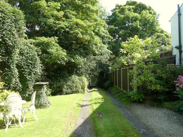
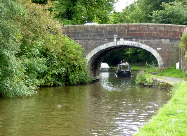
Beech Plantation is a picturesque wooded area located in Lancashire, England. Spanning a vast area, this beautiful plantation is renowned for its dense beech forest, making it a popular destination for nature enthusiasts, hikers, and photographers alike.
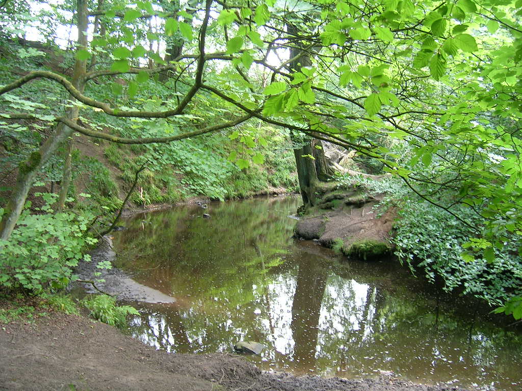
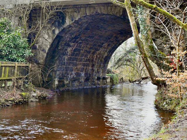
The plantation is situated in a rural setting, surrounded by rolling hills and meandering streams, creating a serene and tranquil atmosphere. The beech trees, with their distinctive smooth, silver-gray bark and vibrant green leaves, dominate the landscape and provide a stunning visual spectacle all year round.
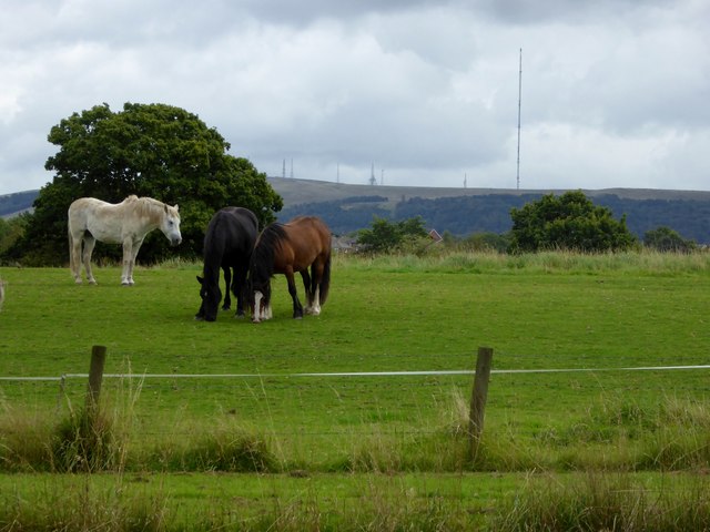
The woodland is home to a diverse range of flora and fauna, creating a rich and thriving ecosystem. Visitors can expect to encounter a variety of bird species, including woodpeckers and owls, as well as small mammals like squirrels and rabbits. The plantation also boasts a vibrant undergrowth, adorned with wildflowers, ferns, and mosses, further enhancing its natural beauty.
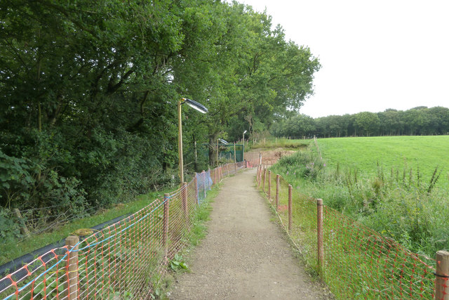
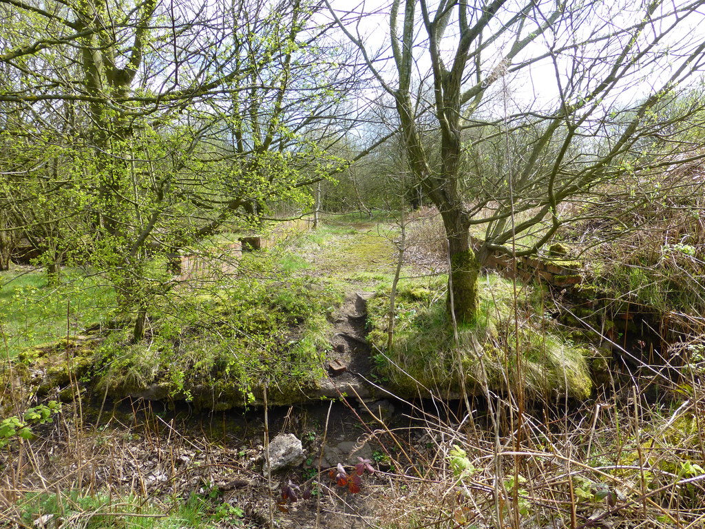
Walking trails wind their way through the plantation, allowing visitors to explore its enchanting surroundings at their own pace. These trails offer breathtaking views of the surrounding countryside and provide opportunities for peaceful contemplation and relaxation.
Beech Plantation is easily accessible by car and offers ample parking facilities. There are also picnic areas and benches scattered throughout the plantation, inviting visitors to take a break and enjoy a picnic amidst the natural splendor.
Overall, Beech Plantation in Lancashire is a must-visit destination for those seeking a peaceful retreat in the heart of nature. Its stunning beech forest, diverse wildlife, and tranquil ambiance make it an ideal location for outdoor enthusiasts and nature lovers of all ages.
If you have any feedback on the listing, please let us know in the comments section below.
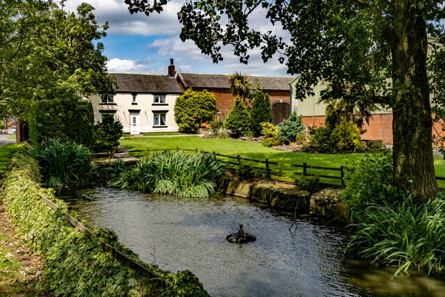
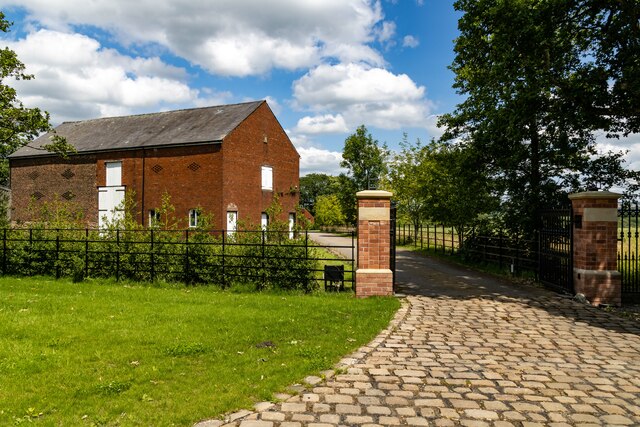
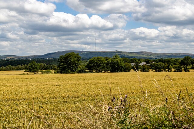
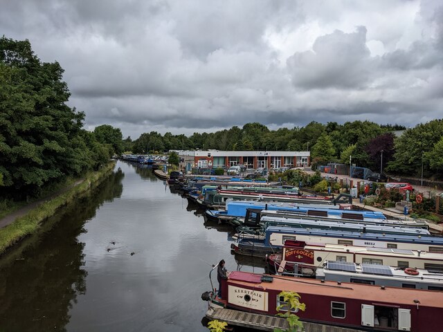
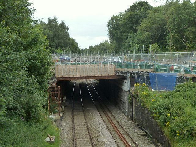
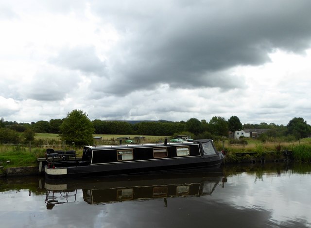
Beech Plantation Images
Images are sourced within 2km of 53.62704/-2.6205353 or Grid Reference SD5914. Thanks to Geograph Open Source API. All images are credited.


Beech Plantation is located at Grid Ref: SD5914 (Lat: 53.62704, Lng: -2.6205353)
Administrative County: Lancashire
District: Chorley
Police Authority: Lancashire
What 3 Words
///safe.bought.acting. Near Adlington, Lancashire
Nearby Locations
Related Wikis

Duxbury Hall
Duxbury Hall was a 19th-century country house in Duxbury Park estate in Duxbury Woods, Duxbury, Lancashire that has been demolished. The hall was a plain...
Heath Charnock
Heath Charnock is a small village and civil parish of the Borough of Chorley in Lancashire, England. According to the United Kingdom Census 2001 it has...
Duxbury Woods
Duxbury Woods is an area of woodland and parkland situated in Chorley, Lancashire, at the foot of the West Pennine Moors. The area originally existed as...

Rawlinson Bridge railway station
Rawlinson Bridge was the first railway station in the Borough of Chorley in Lancashire, England. The station was located in the village of Heath Charnock...
Ellerbeck Colliery
Ellerbeck Colliery was a coal mine located on the border of Coppull and Adlington in the Borough of Chorley in Lancashire, England. The Hilton House and...

Yarrow Valley Country Park
Yarrow Valley Country Park is a country park managed by Chorley Borough Council in Lancashire, England. It follows the River Yarrow for about 6 miles...
Holy Cross Catholic High School, Chorley
Holy Cross Catholic High School is a Roman Catholic Voluntary aided comprehensive school in Chorley, Lancashire, England. The school provides co-educational...
Yarrow Bridge
Yarrow Bridge is a small road bridge which crosses the River Yarrow in Chorley, Lancashire, England. The bridge carries the A6 road over the river. There...
Nearby Amenities
Located within 500m of 53.62704,-2.6205353Have you been to Beech Plantation?
Leave your review of Beech Plantation below (or comments, questions and feedback).