Millway Grove
Wood, Forest in Gloucestershire Forest of Dean
England
Millway Grove

Millway Grove is a picturesque woodland located in the county of Gloucestershire, England. Situated in the heart of the Forest of Dean, this idyllic retreat offers a tranquil and serene environment for nature lovers and outdoor enthusiasts alike.
Covering an area of approximately 100 acres, Millway Grove is known for its diverse range of trees, including oak, beech, and ash, which create a dense canopy overhead. The woodland floor is adorned with an array of native flora, such as bluebells, ferns, and wild garlic, adding to its natural beauty.
The grove is intersected by a meandering stream, which adds to the peaceful ambiance and provides a habitat for various aquatic species. The soothing sound of running water can be heard throughout the woodland, creating a calming atmosphere for visitors.
Millway Grove is also home to a rich diversity of wildlife. Visitors may catch a glimpse of deer, foxes, squirrels, and a wide variety of bird species, including woodpeckers and owls. The grove provides a sanctuary for these creatures, allowing them to thrive in their natural habitat.
The woodland is a popular destination for outdoor activities such as hiking, birdwatching, and photography. There are several well-marked trails that wind their way through the grove, offering visitors the chance to explore its hidden corners and discover its natural wonders.
Millway Grove, with its enchanting beauty and peaceful atmosphere, is a true gem within the Forest of Dean and a haven for those seeking solace in nature.
If you have any feedback on the listing, please let us know in the comments section below.
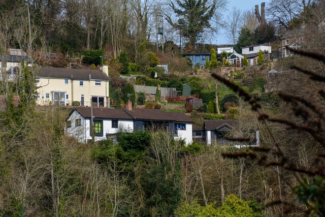
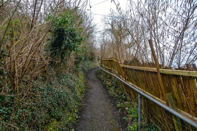
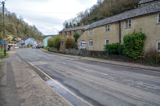
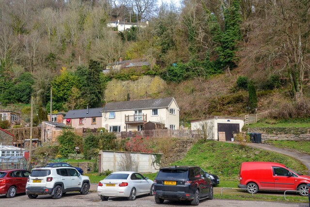
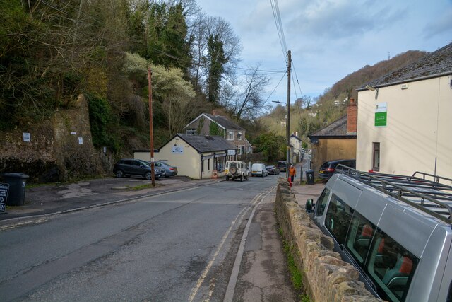
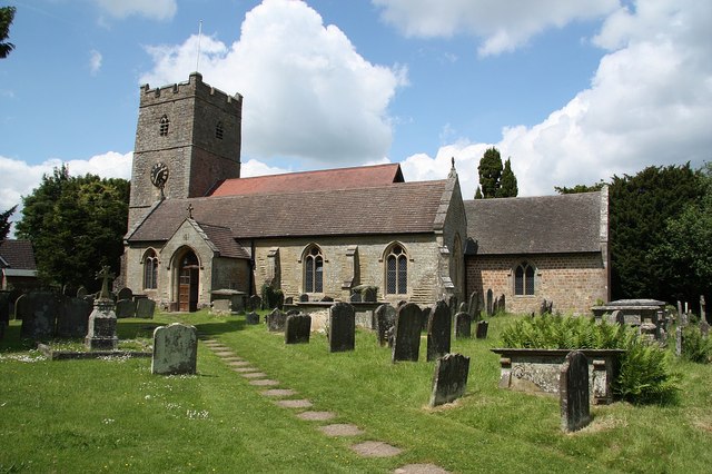
Millway Grove Images
Images are sourced within 2km of 51.844427/-2.6013902 or Grid Reference SO5816. Thanks to Geograph Open Source API. All images are credited.


Millway Grove is located at Grid Ref: SO5816 (Lat: 51.844427, Lng: -2.6013902)
Administrative County: Gloucestershire
District: Forest of Dean
Police Authority: Gloucestershire
What 3 Words
///purely.data.confusion. Near Lydbrook, Gloucestershire
Nearby Locations
Related Wikis

English Bicknor Castle
English Bicknor Castle was a castle in the village of English Bicknor in Gloucestershire, England. The castle was built in the 11th century as a motte...
English Bicknor
English Bicknor is a village and civil parish in the Forest of Dean district of west Gloucestershire, England. The 2011 Census recorded the population...

Lydbrook Junction railway station
Lydbrook Junction railway station is a disused railway station in England opened by the Ross and Monmouth Railway in 1873, it remained open for 91 years...
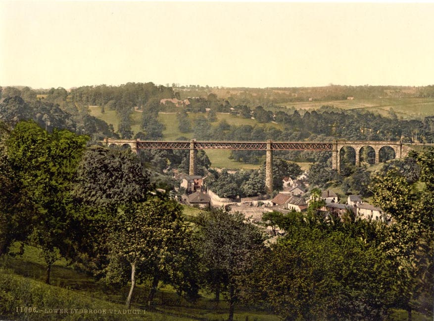
Lower Lydbrook Viaduct
The Lower Lydbrook Viaduct was an iron railway viaduct with stone piers, it was on the Severn and Wye Railway and situated in Lower Lydbrook, Gloucestershire...
Lower Lydbrook railway station
Lower Lydbrook railway station served the civil parish of Lydbrook, Gloucestershire, England, from 1875 to 1903 on the Severn and Wye Railway. == History... ==

Sarah Siddons' House
Sarah Siddons' House, also called the Old House, is a cottage in the village of Lydbrook, Gloucestershire, England. A Grade II* listed building, the cottage...

Eastbach Court
Eastbach Court is a historic Grade II listed mansion in English Bicknor, Gloucestershire, England. == History == The house was built on a former messuage...

1942 Herefordshire TRE Halifax crash
V9977 was an Handley Page Halifax II that had been sent to the Telecommunications Research Establishment (TRE) at RAF Defford to be used as a flying testbed...
Nearby Amenities
Located within 500m of 51.844427,-2.6013902Have you been to Millway Grove?
Leave your review of Millway Grove below (or comments, questions and feedback).