Chepstow Wood

Wood, Forest in Gloucestershire Forest of Dean

England

Chepstow Wood

Lydbrook : Bell Hill Looking along a footpath up the hillside.
Lydbrook : Bell Hill Credit: Lewis Clarke

Chepstow Wood is a picturesque forest located in Gloucestershire, England. Situated in the heart of the Wye Valley, it covers a vast area and offers a tranquil retreat for nature lovers and outdoor enthusiasts alike. The wood is known for its diverse range of tree species, including oak, beech, and birch, creating a rich and vibrant landscape.

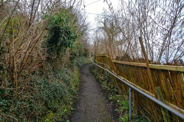
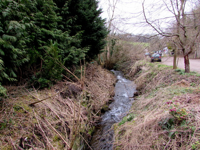
The wood is a popular destination for hiking and walking due to its numerous well-marked trails, which cater to all levels of fitness and ability. These trails provide an opportunity to explore the wood's beauty and discover its hidden gems, such as enchanting streams, wildlife habitats, and breathtaking viewpoints.

Chepstow Wood is also home to a variety of wildlife, including deer, foxes, and a wide array of bird species. Nature enthusiasts can spot these creatures while wandering through the peaceful paths or find a perfect spot for birdwatching. The wood's diverse flora and fauna make it a thriving ecosystem and an excellent location for ecological studies and research.

In addition to its natural beauty, Chepstow Wood has a rich historical background. The ruins of Chepstow Castle, a medieval fortification dating back to the 11th century, can be found within the wood's boundaries. These ruins serve as a reminder of the area's fascinating past and attract history enthusiasts from all over the world.

Overall, Chepstow Wood in Gloucestershire offers a perfect blend of natural beauty, recreational opportunities, and historical significance. Whether one seeks tranquility, adventure, or a glimpse into the past, this enchanting forest provides it all.

If you have any feedback on the listing, please let us know in the comments section below.

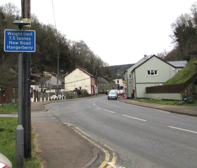
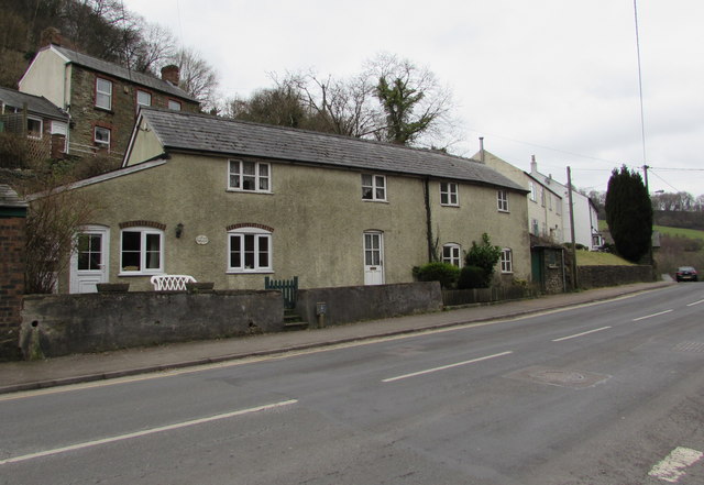
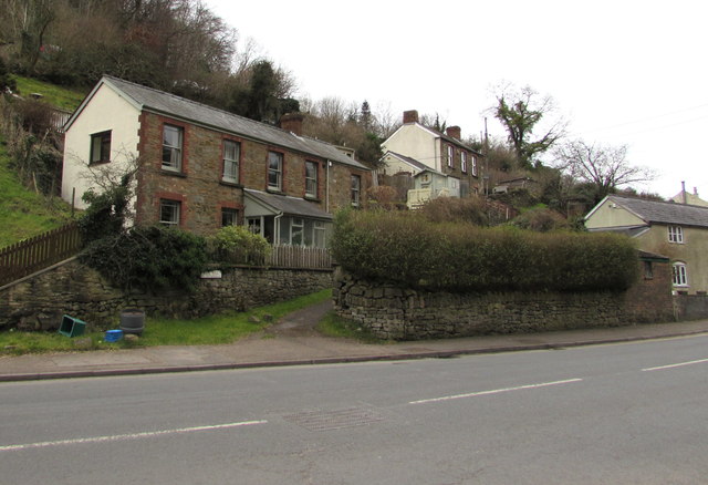
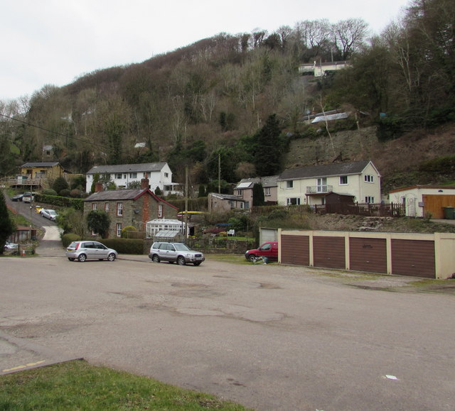
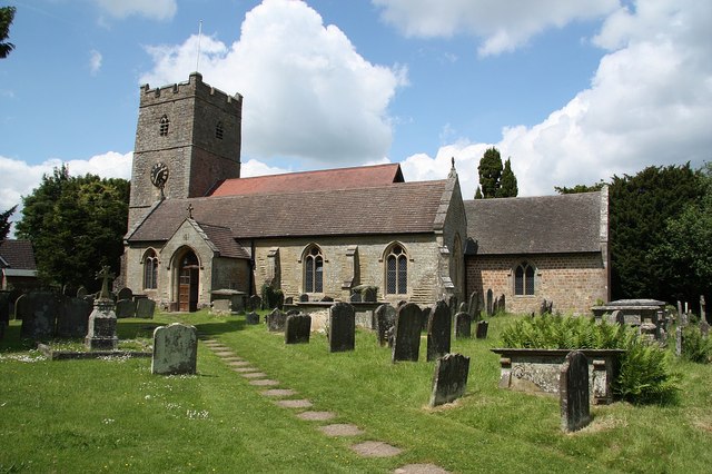
Chepstow Wood Images

Images are sourced within 2km of 51.84318/-2.6094152 or Grid Reference SO5816. Thanks to Geograph Open Source API. All images are credited.

Lydbrook : Bell Hill Looking along a footpath up the hillside.
Lydbrook : Bell Hill
Looking along a footpath up the hillside.
Lydbrook : B4234 Looking along the road.
Lydbrook : B4234
Looking along the road.
Lydbook : Car Park A car park alongside the social club in Lower Lydbrook.
Lydbook : Car Park
A car park alongside the social club in Lower Lydbrook.
Lydbrook : B4234 Looking along the B4234.
Lydbrook : B4234
Looking along the B4234.
Lydbrook : The Lydbrook & District Community Social Club The social club in Lydbrook.
Lydbrook : The Lydbrook & District Community Social Club
The social club in Lydbrook.
Central Stores and Post Office, Central Lydbrook In March 2016, Lydbrook's post office is inside this Premier convenience store located alongside the B4234, 
the main road through the village. Viewed from the edge of the former post office. <a title="https://www.geograph.org.uk/photo/4873375" href="https://www.geograph.org.uk/photo/4873375">Link</a>
Central Stores and Post Office, Central Lydbrook
In March 2016, Lydbrook's post office is inside this Premier convenience store located alongside the B4234, the main road through the village. Viewed from the edge of the former post office. Link
Former Lydbrook Post Office Viewed in March 2016. A September 2009 Google Earth Street View shows this red and white building when it was the village post office. Though the name has been removed, the ghosts of the letters LYDBROOK POST OFFICE remain on the nameboard. The postbox on the right side of the former post office has had its opening sealed and its red paint removed, leaving a black surface. The white fronted building next door is the Old Apothecary.

The village post office is now a few metres away, inside Central Stores. <a title="https://www.geograph.org.uk/photo/4873363" href="https://www.geograph.org.uk/photo/4873363">Link</a>
Former Lydbrook Post Office
Viewed in March 2016. A September 2009 Google Earth Street View shows this red and white building when it was the village post office. Though the name has been removed, the ghosts of the letters LYDBROOK POST OFFICE remain on the nameboard. The postbox on the right side of the former post office has had its opening sealed and its red paint removed, leaving a black surface. The white fronted building next door is the Old Apothecary. The village post office is now a few metres away, inside Central Stores. Link
Lyd Brook, Central Lydbrook The brook here is about a kilometre from the River Wye, into which it flows in Lower Lydbrook. 
Lyd Brook is also known as Hough Brook or Great Hough Brook.
Lyd Brook, Central Lydbrook
The brook here is about a kilometre from the River Wye, into which it flows in Lower Lydbrook. Lyd Brook is also known as Hough Brook or Great Hough Brook.
Lydbrook & District Community Social Club, Central Lydbrook On the east side of the B4234, the main road through the village.
Lydbrook & District Community Social Club, Central Lydbrook
On the east side of the B4234, the main road through the village.
Weight limit sign in Central Lydbrook Facing the B4234 on the approach to the New Road Hangerberry junction.
Weight limit sign in Central Lydbrook
Facing the B4234 on the approach to the New Road Hangerberry junction.
Gravel Cottage, Central Lydbrook Viewed across the B4234, the main road through the village.
Gravel Cottage, Central Lydbrook
Viewed across the B4234, the main road through the village.
Junction of Bell Hill and the B4234, Central Lydbrook The B4234 is the main road through the village. Bell Hill is the narrow lane on the left. 
The Bell Hill name sign shows NO THROUGH ROAD.
Junction of Bell Hill and the B4234, Central Lydbrook
The B4234 is the main road through the village. Bell Hill is the narrow lane on the left. The Bell Hill name sign shows NO THROUGH ROAD.
Hillside view from Central Lydbrook Located in a hilly part of the Forest of Dean in west Gloucestershire, Central Lydbrook is part of the civil parish of Lydbrook, which also includes Lower Lydbrook, Upper Lydbrook, Joys Green and Worrall Hill.
Hillside view from Central Lydbrook
Located in a hilly part of the Forest of Dean in west Gloucestershire, Central Lydbrook is part of the civil parish of Lydbrook, which also includes Lower Lydbrook, Upper Lydbrook, Joys Green and Worrall Hill.
Queen Elizabeth II postbox outside Central Stores and Post Office, Central Lydbrook The postbox was installed here when the old post office nearby <a title="https://www.geograph.org.uk/photo/4873375" href="https://www.geograph.org.uk/photo/4873375">Link</a> closed down and the aperture in the postbox in its wall was sealed. <a title="https://www.geograph.org.uk/photo/4873906" href="https://www.geograph.org.uk/photo/4873906">Link</a>
Queen Elizabeth II postbox outside Central Stores and Post Office, Central Lydbrook
The postbox was installed here when the old post office nearby Link closed down and the aperture in the postbox in its wall was sealed. Link
Bus stop and shelter in Central Lydbrook Alongside the B4234, the main road through the village. This side for southbound buses.
Bus stop and shelter in Central Lydbrook
Alongside the B4234, the main road through the village. This side for southbound buses.
Old Apothecary and Old Post Office, Central Lydbrook Viewed across the B4234, the main road through the village.
The Old Apothecary <a title="https://www.geograph.org.uk/photo/4873883" href="https://www.geograph.org.uk/photo/4873883">Link</a> is on the right. The Old Post Office <a title="www.geograph.org.uk/photo/4873375" href="https://www.geograph.org.uk/photo/4873375">Link</a> is on the left.
Old Apothecary and Old Post Office, Central Lydbrook
Viewed across the B4234, the main road through the village. The Old Apothecary Link is on the right. The Old Post Office Link is on the left.
Central Stores and Post Office, Central Lydbrook In March 2016, Lydbrook's post offIce is inside this Premier 
convenience store alongside the B4234, the main road through the village.
The post office was previously nearby, on the opposite side of the road. <a title="https://www.geograph.org.uk/photo/4873375" href="https://www.geograph.org.uk/photo/4873375">Link</a>
Central Stores and Post Office, Central Lydbrook
In March 2016, Lydbrook's post offIce is inside this Premier convenience store alongside the B4234, the main road through the village. The post office was previously nearby, on the opposite side of the road. Link
From the Old Post  Office to the current Post Office,   Central Lydbrook The B4234, the main road through the village, separates the Old Post Office <a title="https://www.geograph.org.uk/photo/4873375" href="https://www.geograph.org.uk/photo/4873375">Link</a> on the right 
from Central Stores <a title="https://www.geograph.org.uk/photo/4873363" href="https://www.geograph.org.uk/photo/4873363">Link</a> on the left which in March 2016 contains the village post office.
From the Old Post Office to the current Post Office, Central Lydbrook
The B4234, the main road through the village, separates the Old Post Office Link on the right from Central Stores Link on the left which in March 2016 contains the village post office.
Show me another place!

Chepstow Wood is located at Grid Ref: SO5816 (Lat: 51.84318, Lng: -2.6094152)

Administrative County: Gloucestershire

District: Forest of Dean

Police Authority: Gloucestershire

What 3 Words

///pulse.crumbles.caring. Near Lydbrook, Gloucestershire

Related Wikis

English Bicknor Castle

English Bicknor Castle was a castle in the village of English Bicknor in Gloucestershire, England. The castle was built in the 11th century as a motte...

English Bicknor

English Bicknor is a village and civil parish in the Forest of Dean district of west Gloucestershire, England. The 2011 Census recorded the population...

Lydbrook Junction railway station

Lydbrook Junction railway station is a disused railway station in England opened by the Ross and Monmouth Railway in 1873, it remained open for 91 years...

Eastbach Court

Eastbach Court is a historic Grade II listed mansion in English Bicknor, Gloucestershire, England. == History == The house was built on a former messuage...

Nearby Amenities

Located within 500m of 51.84318,-2.6094152
Bus Stop
St Mary's Church
Naptan AtcoCode: 1600GL1851
Naptan Bearing: S
Naptan CommonName: St Mary's Church
Naptan Indicator: Opp
Naptan NaptanCode: gloadwja
Naptan Street: Ross Rd
Naptan Verified: no
Source: naptan_import
Lat/Long: 51.8388941/-2.6077813
Bus Stop
St Mary's Church
Naptan AtcoCode: 1600GL1852
Naptan Bearing: N
Naptan CommonName: St Mary's Church
Naptan NaptanCode: gloadwgw
Naptan Street: Ross Rd
Naptan Verified: no
Source: naptan_import
Lat/Long: 51.8389926/-2.6078697
Barrier: kissing_gate
Ele: 124.375366
Lat/Long: 51.8401812/-2.6143443
Historic: memorial
Image: https://www.geograph.org.uk/photo/7574344
Material: stone
Memorial: war_memorial
Source: https://www.emiarchivetrust.org/memorial-unveiled-to-pioneering-british-engineer-alan-dower-blumlein-the-scientists-and-raf-personnel-who-lost-their-lives-testing-world-war-ii-invention-airborne-radar/
Wikipedia: en:1942 Herefordshire TRE Halifax crash#Memorials
Lat/Long: 51.8467695/-2.6104981
The data included in this document is from www.openstreetmap.org. The data is made available under ODbL.

Have you been to Chepstow Wood?

Leave your review of Chepstow Wood below (or comments, questions and feedback).