Great Collins Grove
Wood, Forest in Gloucestershire Forest of Dean
England
Great Collins Grove
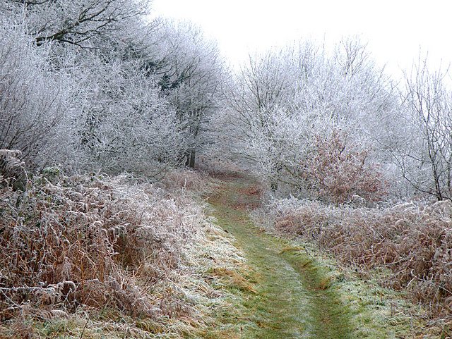
Great Collins Grove is a picturesque woodland located in Gloucestershire, England. Nestled in the heart of the Forest of Dean, this enchanting grove is renowned for its natural beauty and tranquil atmosphere. Spanning over 100 acres, the wood is home to a diverse range of flora and fauna, making it an idyllic destination for nature enthusiasts and wildlife lovers.
The woodland is predominantly composed of mature oak trees, towering high above the forest floor. Their sprawling branches create a dense canopy that allows only dappled sunlight to filter through, adding to the ethereal ambiance of the grove. Beneath the majestic oaks, a carpet of wildflowers and ferns thrives, providing a vibrant burst of color throughout the seasons.
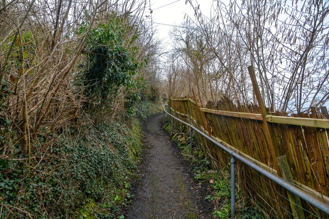
Great Collins Grove offers a network of well-marked trails for visitors to explore its natural wonders. These paths wind through the wood, leading to hidden glades, babbling brooks, and secluded picnic spots. The gentle rustling of leaves and the melodic chirping of birds provide a soothing soundtrack, while the fresh scent of pine lingers in the air.
The grove is also home to a diverse range of wildlife, including deer, foxes, and a variety of bird species. Keen observers may also spot elusive creatures such as badgers and squirrels darting through the undergrowth.
Great Collins Grove is a true haven for those seeking a peaceful retreat in the heart of nature. It offers a serene escape from the bustling modern world, allowing visitors to reconnect with the natural environment and indulge in its serene beauty.
If you have any feedback on the listing, please let us know in the comments section below.
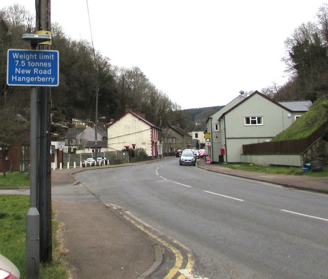
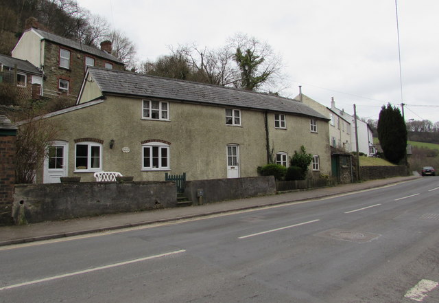
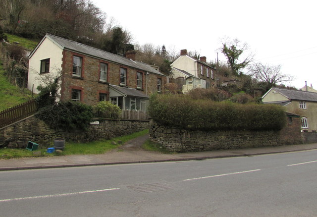
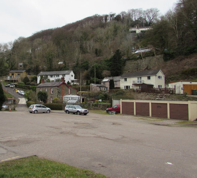
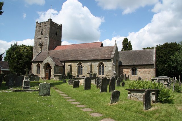
Great Collins Grove Images
Images are sourced within 2km of 51.846217/-2.6081933 or Grid Reference SO5816. Thanks to Geograph Open Source API. All images are credited.


Great Collins Grove is located at Grid Ref: SO5816 (Lat: 51.846217, Lng: -2.6081933)
Administrative County: Gloucestershire
District: Forest of Dean
Police Authority: Gloucestershire
What 3 Words
///lived.fuse.budding. Near Lydbrook, Gloucestershire
Nearby Locations
Related Wikis

Lydbrook Junction railway station
Lydbrook Junction railway station is a disused railway station in England opened by the Ross and Monmouth Railway in 1873, it remained open for 91 years...

English Bicknor Castle
English Bicknor Castle was a castle in the village of English Bicknor in Gloucestershire, England. The castle was built in the 11th century as a motte...
English Bicknor
English Bicknor is a village and civil parish in the Forest of Dean district of west Gloucestershire, England. The 2011 Census recorded the population...
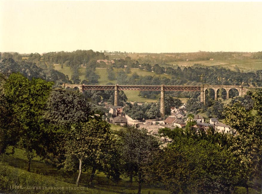
Lower Lydbrook Viaduct
The Lower Lydbrook Viaduct was an iron railway viaduct with stone piers, it was on the Severn and Wye Railway and situated in Lower Lydbrook, Gloucestershire...
Lower Lydbrook railway station
Lower Lydbrook railway station served the civil parish of Lydbrook, Gloucestershire, England, from 1875 to 1903 on the Severn and Wye Railway. == History... ==
Coppet Hill
Coppet Hill or Coppett Hill is a local nature reserve in the parish of Goodrich near Ross-on-Wye in Herefordshire. == Nature reserve == It earned local...

Eastbach Court
Eastbach Court is a historic Grade II listed mansion in English Bicknor, Gloucestershire, England. == History == The house was built on a former messuage...

1942 Herefordshire TRE Halifax crash
V9977 was an Handley Page Halifax II that had been sent to the Telecommunications Research Establishment (TRE) at RAF Defford to be used as a flying testbed...
Nearby Amenities
Located within 500m of 51.846217,-2.6081933Have you been to Great Collins Grove?
Leave your review of Great Collins Grove below (or comments, questions and feedback).