Blenkingship Wood
Wood, Forest in Westmorland Eden
England
Blenkingship Wood
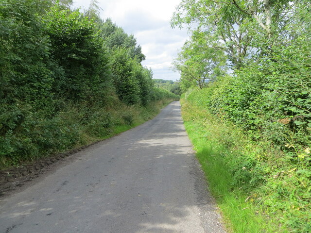
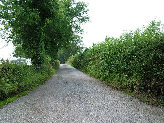
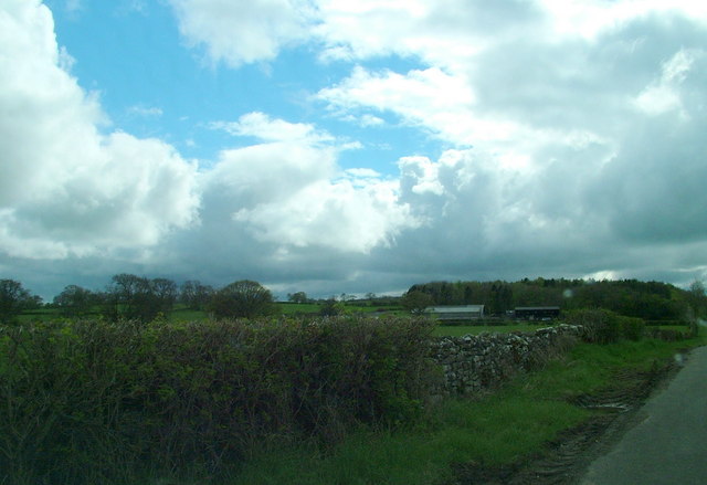
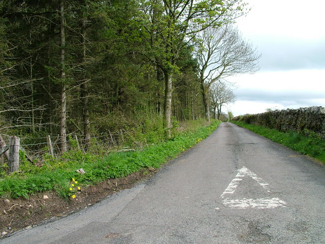
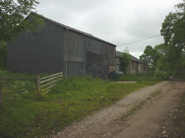
Blenkingship Wood is a picturesque woodland located in the heart of Westmorland, England. Situated in the northern region of the Lake District National Park, this enchanting forest covers an area of approximately 100 acres, offering visitors a tranquil and captivating experience.
The wood is characterized by its diverse range of flora and fauna, including ancient oak and birch trees that have stood tall for centuries. The woodland floor is adorned with a vibrant carpet of wildflowers during the spring and summer months, creating a breathtakingly beautiful scene. Additionally, Blenkingship Wood is home to a variety of wildlife, such as deer, badgers, and a plethora of bird species, making it a haven for nature enthusiasts and birdwatchers alike.
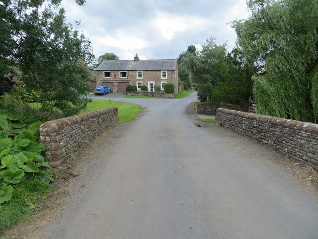
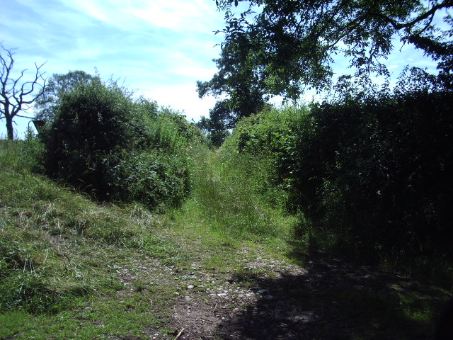
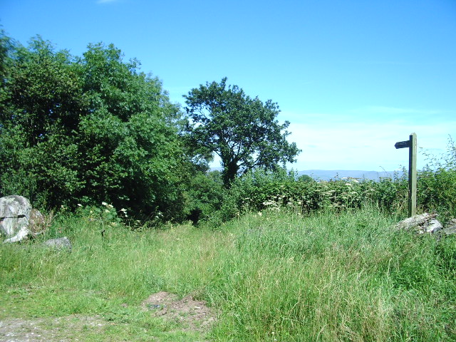
The wood features well-maintained walking trails, allowing visitors to explore its charm at their own pace. These paths wind through the forest, offering glimpses of stunning vistas and hidden glades. Along the way, visitors can also stumble upon a babbling brook, adding to the tranquility of the surroundings.
Blenkingship Wood is a popular destination for both locals and tourists seeking a peaceful retreat from the hustle and bustle of everyday life. Whether it be a leisurely stroll, birdwatching, or simply immersing oneself in the beauty of nature, this woodland provides an idyllic setting for all.
Overall, Blenkingship Wood in Westmorland is a true gem, offering a serene and captivating experience that showcases the natural beauty of the Lake District National Park.
If you have any feedback on the listing, please let us know in the comments section below.
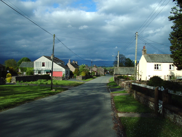
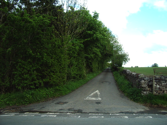
Blenkingship Wood Images
Images are sourced within 2km of 54.570522/-2.6426133 or Grid Reference NY5819. Thanks to Geograph Open Source API. All images are credited.


Blenkingship Wood is located at Grid Ref: NY5819 (Lat: 54.570522, Lng: -2.6426133)
Administrative County: Cumbria
District: Eden
Police Authority: Cumbria
What 3 Words
///guitar.inflation.toasters. Near Shap, Cumbria
Nearby Locations
Related Wikis

Sleagill
Sleagill is a small village and civil parish in the Eden district of Cumbria, England. At the 2011 census Sleagill was grouped with Newby giving a total...

Newby, Cumbria
Newby is a village and civil parish in the Eden district of the county of Cumbria, England. It is about 7 miles (11 km) from the large town of Penrith...

Little Strickland
Little Strickland is a small village and civil parish in the Eden district of Cumbria, England. It is about 7 miles (11 km) from Penrith and 8 miles...

Reagill
Reagill is a hamlet in the parish of Crosby Ravensworth, in the Eden district, in the English county of Cumbria, England. Its closest major settlements...
Morland, Cumbria
Morland is a village and civil parish in the rolling hills of the Eden Valley in the Eden District of Cumbria, England. It lies within the historic county...

St Laurence's Church, Morland
St Laurence's Church is in the village of Morland, Cumbria, England. It is an active Anglican parish church in the deanery of Appleby, the archdeaconry...

Thrimby
Thrimby is a hamlet and former civil parish, now in the parish of Little Strickland, in the Eden district of Cumbria, England. In 2001 the population of...

Littlebeck, Cumbria
Littlebeck is a hamlet in the Eden District in the English county of Cumbria, located near the small village of King's Meaburn, the hamlet of Lankaber...
Nearby Amenities
Located within 500m of 54.570522,-2.6426133Have you been to Blenkingship Wood?
Leave your review of Blenkingship Wood below (or comments, questions and feedback).