Middleber Plantation
Wood, Forest in Westmorland Eden
England
Middleber Plantation
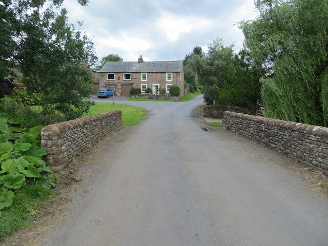
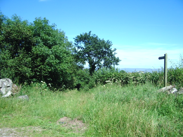
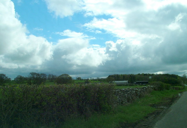
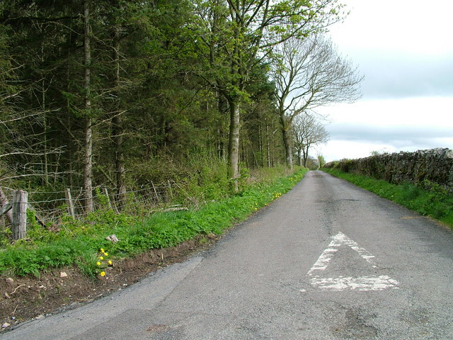
Middleber Plantation is a historic estate located in Westmorland, a county in the northwest region of England known for its picturesque landscapes and rich history. Situated in the Wood Forest area, Middleber Plantation encompasses vast stretches of lush greenery and is surrounded by rolling hills and meandering streams.
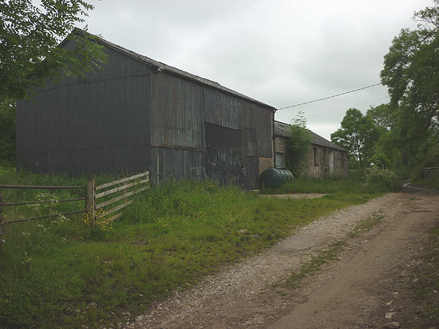
The plantation dates back to the 18th century and has remained remarkably well-preserved, serving as a testament to the region's agricultural heritage. The estate covers several hundred acres and is primarily known for its extensive woodlands, which have played a vital role in the local timber industry for centuries.
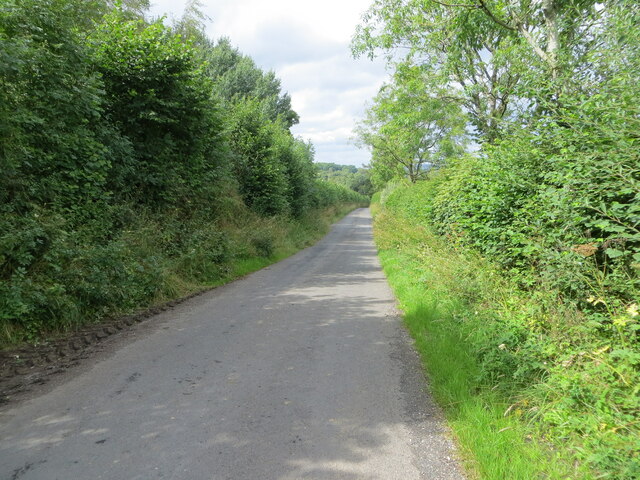
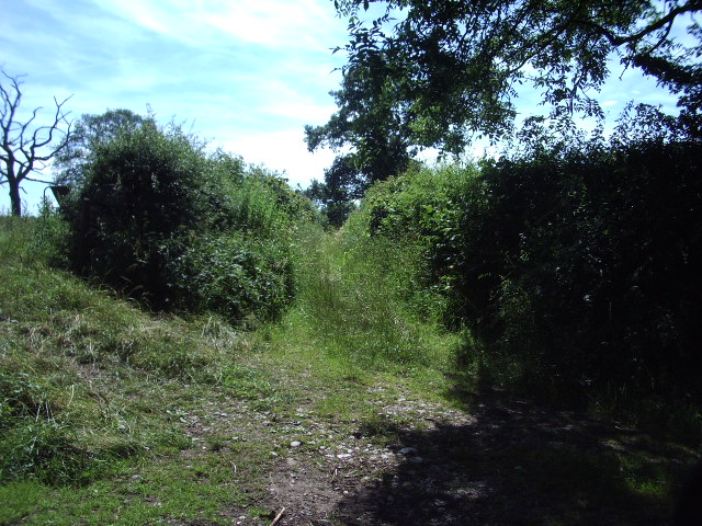
The Middleber Plantation boasts a diverse range of tree species, including oak, beech, and pine, providing a habitat for various wildlife species. The forest is carefully managed to ensure sustainable timber production while preserving its ecological balance.
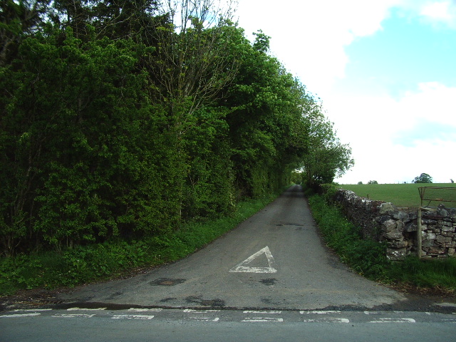
In addition to its forestry activities, Middleber Plantation offers picturesque walking trails that allow visitors to explore the stunning natural surroundings. These trails wind through the woodlands, offering glimpses of tranquil streams and breathtaking vistas. The plantation is also home to a variety of bird species, making it a haven for birdwatching enthusiasts.
Middleber Plantation is a popular destination for nature lovers and history enthusiasts alike, offering a unique opportunity to experience the beauty of the Wood Forest area while immersing oneself in the region's rich agricultural past.
If you have any feedback on the listing, please let us know in the comments section below.
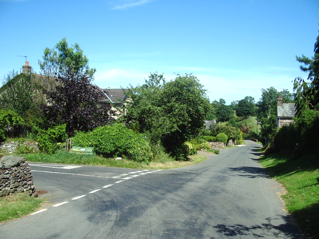
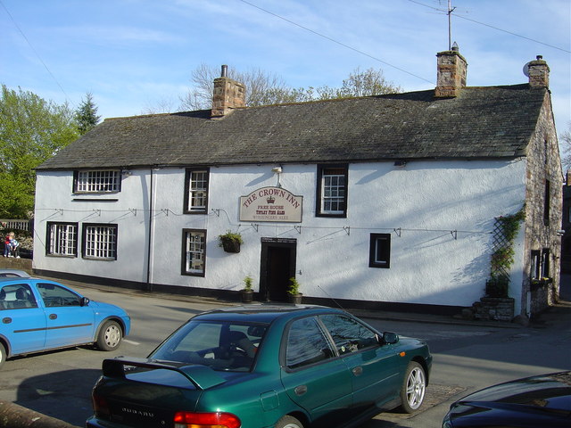
Middleber Plantation Images
Images are sourced within 2km of 54.565264/-2.6495829 or Grid Reference NY5819. Thanks to Geograph Open Source API. All images are credited.


Middleber Plantation is located at Grid Ref: NY5819 (Lat: 54.565264, Lng: -2.6495829)
Administrative County: Cumbria
District: Eden
Police Authority: Cumbria
What 3 Words
///minority.ballooned.basics. Near Shap, Cumbria
Nearby Locations
Related Wikis

Sleagill
Sleagill is a small village and civil parish in the Eden district of Cumbria, England. At the 2011 census Sleagill was grouped with Newby giving a total...

Little Strickland
Little Strickland is a small village and civil parish in the Eden district of Cumbria, England. It is about 7 miles (11 km) from Penrith and 8 miles...

Newby, Cumbria
Newby is a village and civil parish in the Eden district of the county of Cumbria, England. It is about 7 miles (11 km) from the large town of Penrith...

Reagill
Reagill is a hamlet in the parish of Crosby Ravensworth, in the Eden district, in the English county of Cumbria, England. Its closest major settlements...

Thrimby
Thrimby is a hamlet and former civil parish, now in the parish of Little Strickland, in the Eden district of Cumbria, England. In 2001 the population of...
Morland, Cumbria
Morland is a village and civil parish in the rolling hills of the Eden Valley in the Eden District of Cumbria, England. It lies within the historic county...

St Laurence's Church, Morland
St Laurence's Church is in the village of Morland, Cumbria, England. It is an active Anglican parish church in the deanery of Appleby, the archdeaconry...

Great Strickland
Great Strickland is a village and civil parish in the Eden Valley between the Cumbrian mountains in the west and the Pennines in the east. It is 5 miles...
Nearby Amenities
Located within 500m of 54.565264,-2.6495829Have you been to Middleber Plantation?
Leave your review of Middleber Plantation below (or comments, questions and feedback).