Coverham Inclosure
Wood, Forest in Gloucestershire Forest of Dean
England
Coverham Inclosure
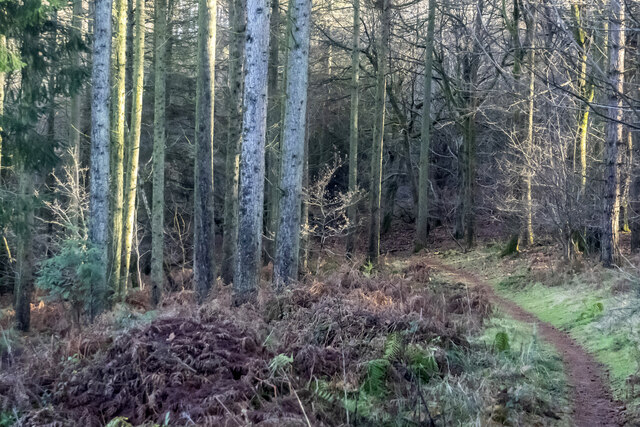
Coverham Inclosure is a picturesque woodland located in Gloucestershire, England. Spread over an area of approximately 100 acres, it is a designated forest and is managed by the local authorities. The woodland is predominantly composed of a mix of deciduous and coniferous trees, creating a diverse and vibrant ecosystem.
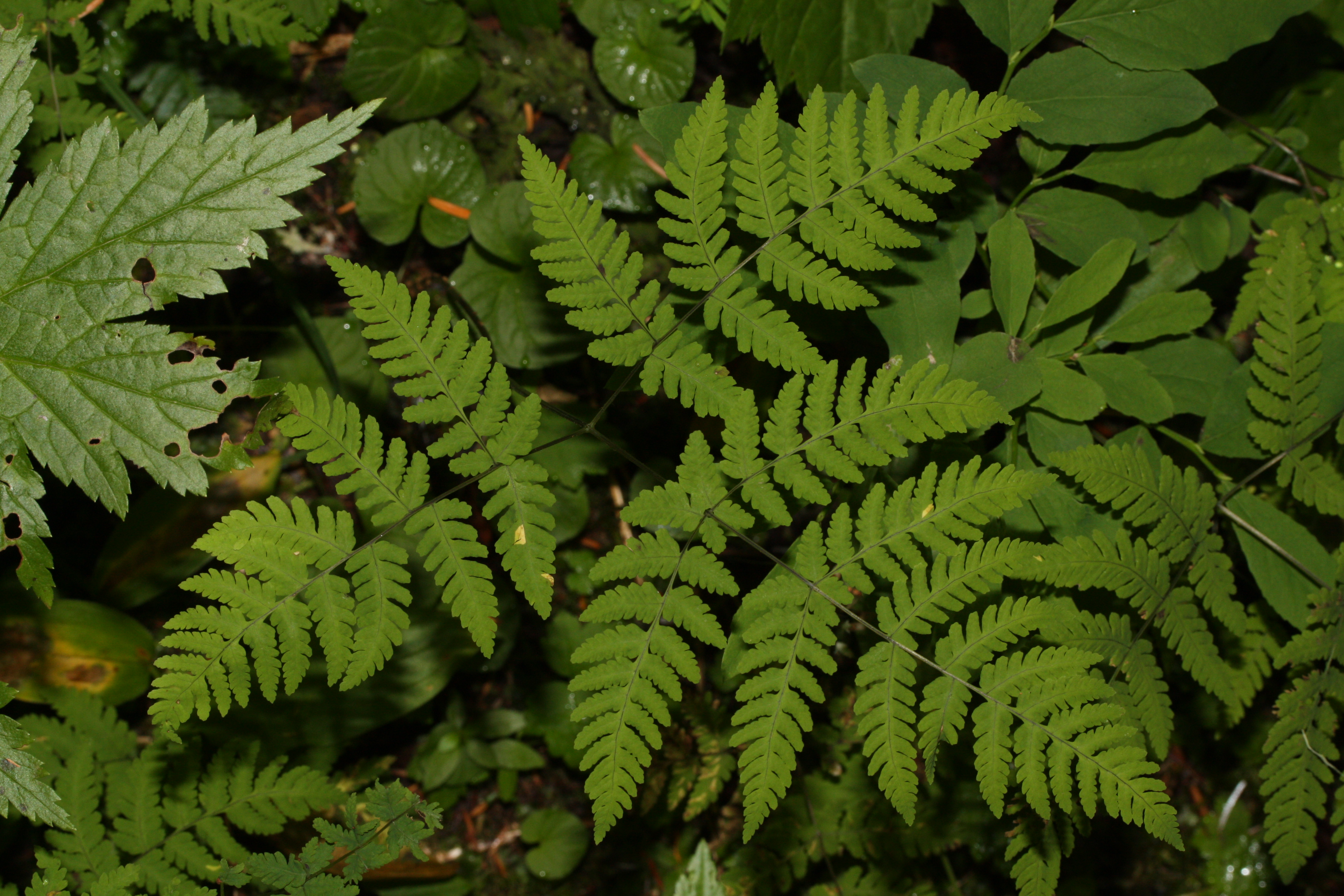
Coverham Inclosure boasts a rich biodiversity, with a wide variety of plant and animal species calling it their home. The forest floor is carpeted with a lush carpet of ferns, mosses, and wildflowers, providing a haven for small mammals and insects. The towering trees act as nesting sites for birds such as woodpeckers, owls, and various songbirds.
Visitors to Coverham Inclosure can enjoy a range of activities amidst the tranquility of nature. There are numerous walking trails that meander through the forest, allowing visitors to explore its hidden corners and discover its natural wonders. Cyclists can also enjoy designated paths that wind through the woodland, providing a scenic route for a leisurely ride.
The forest is well-equipped with amenities to ensure a pleasant visit for all. There are picnic areas where visitors can relax and enjoy a meal surrounded by nature. Additionally, there are well-maintained restroom facilities and ample parking spaces available.
Coverham Inclosure is a popular destination for nature enthusiasts, families, and locals seeking solace in the beauty of the natural world. Its serene atmosphere, coupled with its diverse ecosystem, make it a must-visit location for anyone looking to immerse themselves in the wonders of Gloucestershire's woodlands.
If you have any feedback on the listing, please let us know in the comments section below.
Coverham Inclosure Images
Images are sourced within 2km of 51.808122/-2.6028068 or Grid Reference SO5812. Thanks to Geograph Open Source API. All images are credited.


Coverham Inclosure is located at Grid Ref: SO5812 (Lat: 51.808122, Lng: -2.6028068)
Administrative County: Gloucestershire
District: Forest of Dean
Police Authority: Gloucestershire
What 3 Words
///pets.prettiest.frost. Near Coleford, Gloucestershire
Nearby Locations
Related Wikis

Royal Forest of Dean College
Royal Forest of Dean College was a college of further education located close to the town of Coleford, in the Forest of Dean in west Gloucestershire. It...
Five Acres High School
Five Acres High School, formerly Lakers School, is an academy in Coleford, Gloucestershire. Simon Phelps is the Headteacher, Five Acres is an Academy which...

Mile End, Gloucestershire
Mile End is a small village in the English county of Gloucestershire. It belongs to the civil parish of Coleford, which is also its post town. Mile End...
Berry Hill, Gloucestershire
Berry Hill is a village in Gloucestershire, England, 1.5 miles north of the town of Coleford. Berry Hill includes the settlements of Five Acres to the...
Wimberry Quarries
Wimberry Quarries (grid reference SO594121) is a 2-hectare (4.9-acre) nature reserve in Gloucestershire in the Forest of Dean.The site is held under agreement...

Edge End, Gloucestershire
Edge End is a small hamlet in west Gloucestershire, England. == Location and amenities == Edge End is about 1.5 miles NW of Coleford and about 1 mile north...
Broadwell, Forest of Dean
Broadwell is a village about 1 mile (1.6 km) east of Coleford, Gloucestershire, England. It is at the western edge of the Forest of Dean, in the civil...
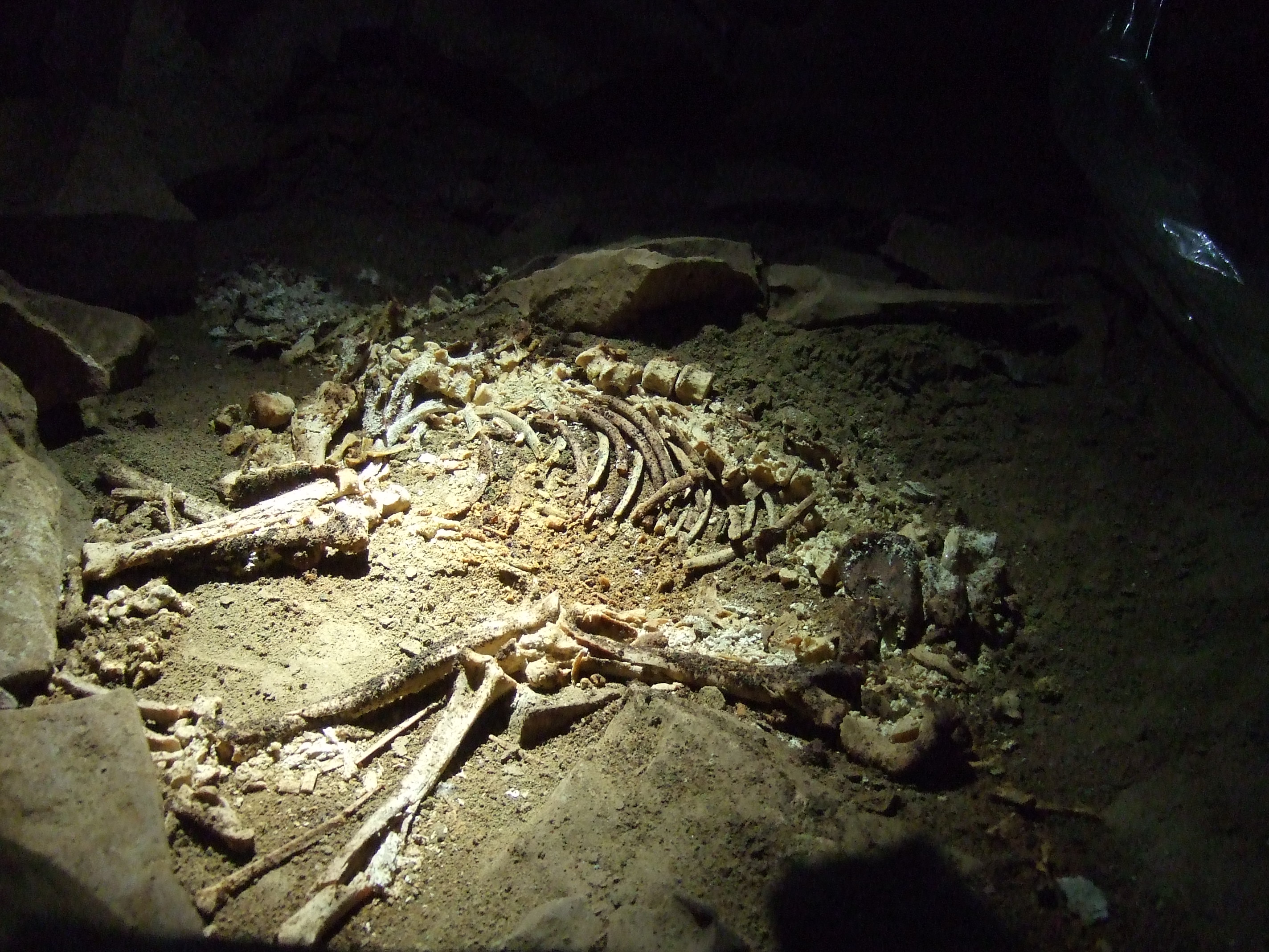
Slaughter Stream Cave
Slaughter Stream Cave, also known as Wet Sink, is a cave system in the Wye Valley, Forest of Dean. A series of fixed ladders and two pitches lead to sporting...
Nearby Amenities
Located within 500m of 51.808122,-2.6028068Have you been to Coverham Inclosure?
Leave your review of Coverham Inclosure below (or comments, questions and feedback).