Jubilee Coppice
Wood, Forest in Dorset
England
Jubilee Coppice
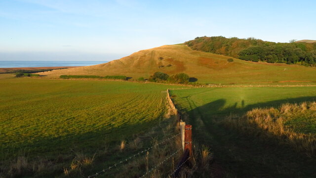
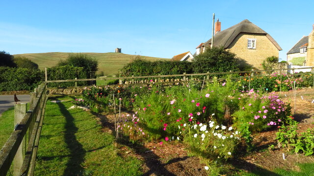
Jubilee Coppice, located in Dorset, England, is a picturesque woodland area renowned for its natural beauty and diverse ecosystem. Covering an area of approximately 50 acres, it is a popular destination for nature enthusiasts, hikers, and wildlife photographers.
The coppice is primarily composed of a mixture of broadleaf trees, including oak, ash, beech, and birch. These trees provide a dense canopy, creating a shaded and tranquil environment that is perfect for walking and exploring. The forest floor is carpeted with a variety of native plants and wildflowers, adding to the area's charm and enchantment.
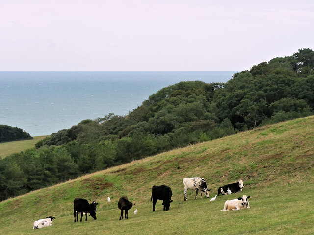
Jubilee Coppice is home to an abundant array of wildlife, making it an ideal spot for birdwatching and animal spotting. Visitors may have the opportunity to see various species of birds, such as woodpeckers, owls, and thrushes, as well as small mammals like squirrels and rabbits. The woodland also supports a diverse insect population, including butterflies, bees, and beetles.
The coppice is well-maintained, with clearly marked paths and trails that allow visitors to navigate through the woods easily. It offers a peaceful retreat from the hustle and bustle of everyday life, providing a chance to reconnect with nature and enjoy the serenity of the countryside.
Overall, Jubilee Coppice is a hidden gem in Dorset, offering a haven for nature lovers and an opportunity to immerse oneself in the wonders of the natural world. Whether one seeks solitude, adventure, or simply a leisurely stroll, this woodland is sure to leave a lasting impression.
If you have any feedback on the listing, please let us know in the comments section below.
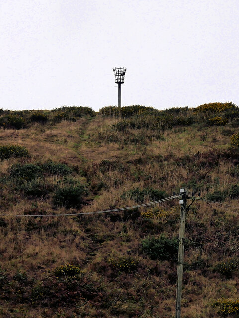
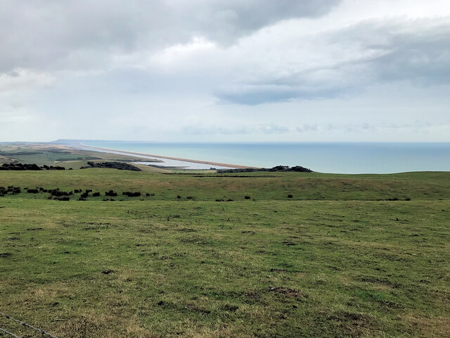
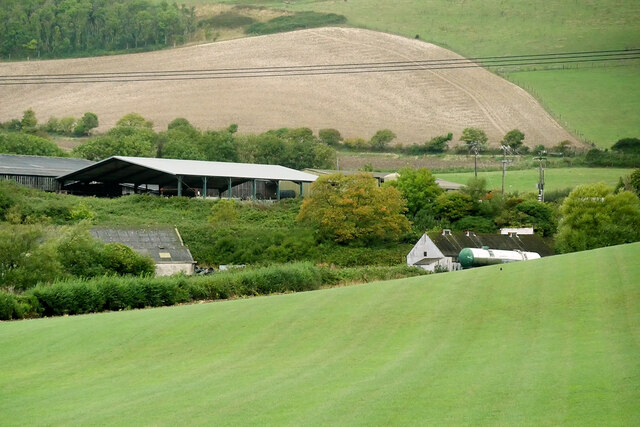
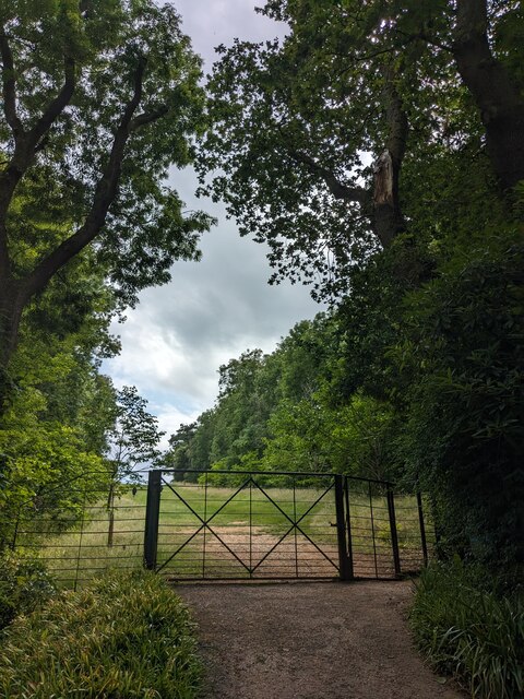
Jubilee Coppice Images
Images are sourced within 2km of 50.668777/-2.5991001 or Grid Reference SY5785. Thanks to Geograph Open Source API. All images are credited.


Jubilee Coppice is located at Grid Ref: SY5785 (Lat: 50.668777, Lng: -2.5991001)
Unitary Authority: Dorset
Police Authority: Dorset
What 3 Words
///song.rigs.grant. Near Chickerell, Dorset
Nearby Locations
Related Wikis

Abbotsbury Blind Lane
Abbotsbury Blind Lane (grid reference SY576856) is a 0.4 hectares (0.99 acres) geological Site of Special Scientific Interest in Dorset, notified in 1986...

Abbotsbury
Abbotsbury is a village and civil parish in the English county of Dorset. The settlement is in the unitary authority of Dorset about 1 mile (1.6 km) inland...

St Nicholas' Church, Abbotsbury
St Nicholas' Church is a Church of England church in Abbotsbury, Dorset, England. The earliest parts of the church date to the 14th century origin, with...
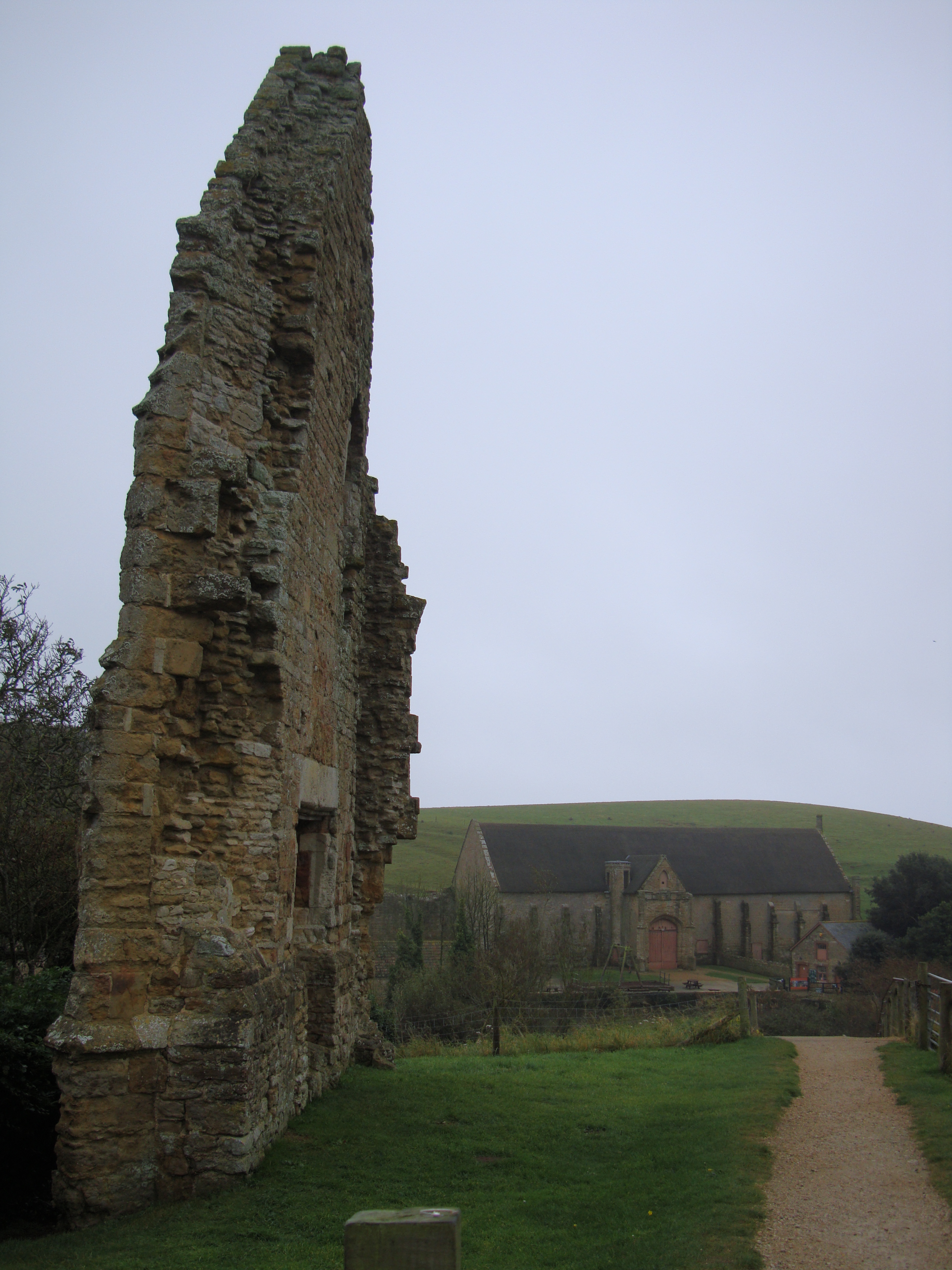
Abbotsbury Abbey
Abbotsbury Abbey, dedicated to Saint Peter, was a Benedictine monastery in the village of Abbotsbury in Dorset, England. The abbey was founded in the 11th...

Abbotsbury railway station
Abbotsbury was the terminus of the Abbotsbury branch railway in the west of the English county of Dorset. Serving the village of Abbotsbury, it was sited...
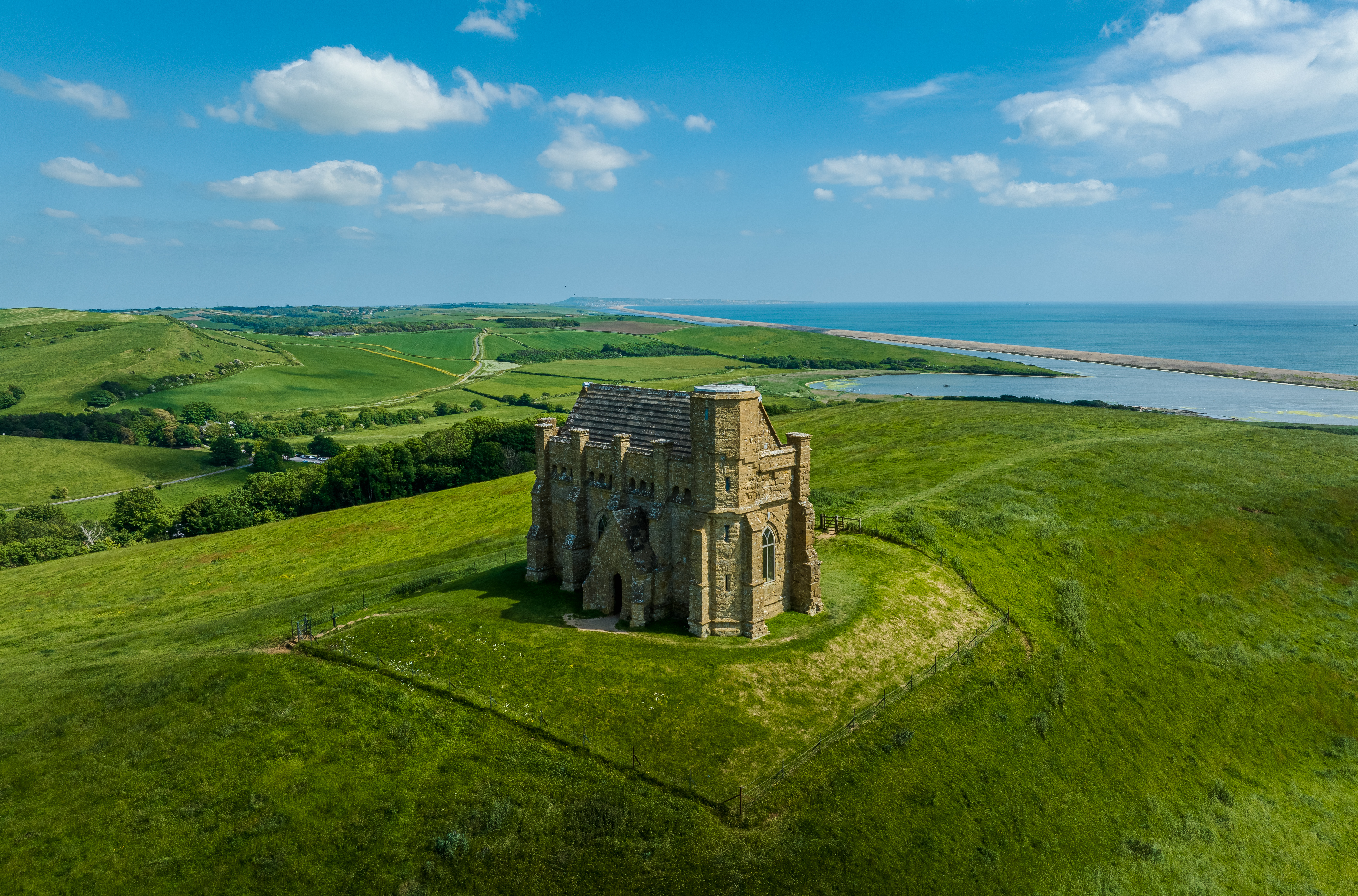
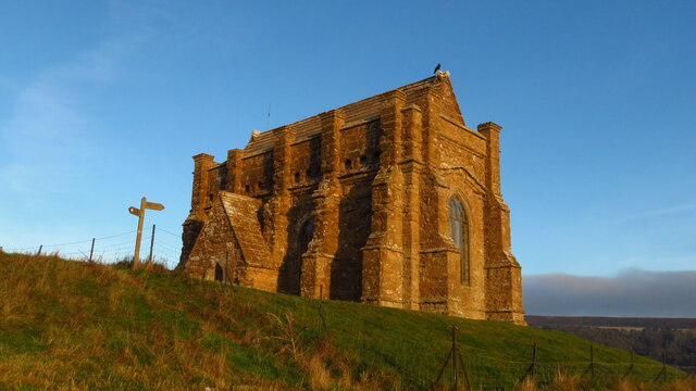
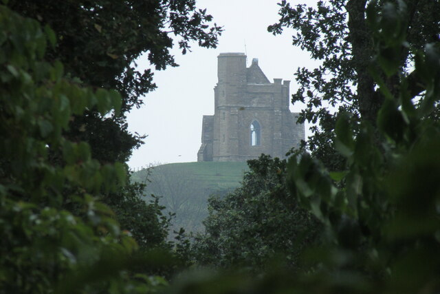
St Catherine's Chapel, Abbotsbury
St Catherine's Chapel is a small chapel situated on a hill above the village of Abbotsbury in Dorset, England. It is dedicated to Saint Catherine. It is...

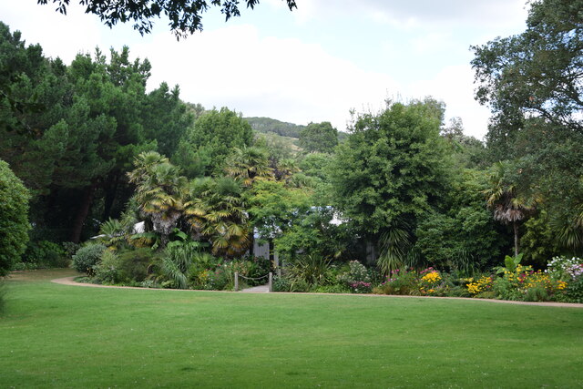
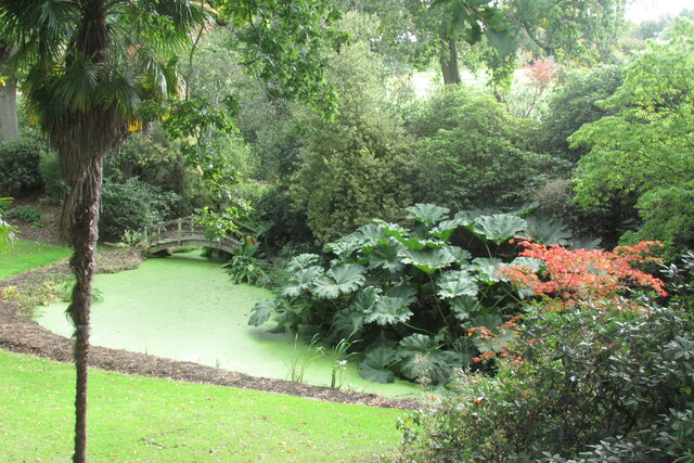
Abbotsbury Subtropical Gardens
The Abbotsbury Subtropical Gardens is a visitor attraction near the village of Abbotsbury, Dorset, southern England. They are Grade I listed in the National...
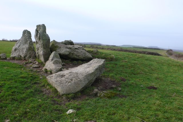
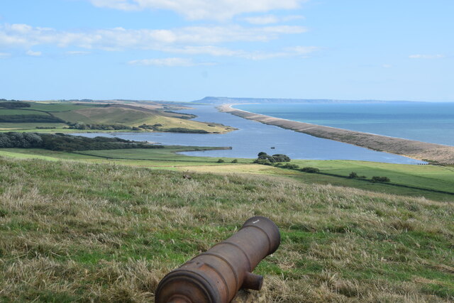
The Grey Mare and her Colts
The Grey Mare and her Colts is a megalithic chambered long barrow located near Abbotsbury in Dorset, England. It was built during the Early and Middle...
Nearby Amenities
Located within 500m of 50.668777,-2.5991001Have you been to Jubilee Coppice?
Leave your review of Jubilee Coppice below (or comments, questions and feedback).