Hale Bank Wood
Wood, Forest in Lancashire Lancaster
England
Hale Bank Wood

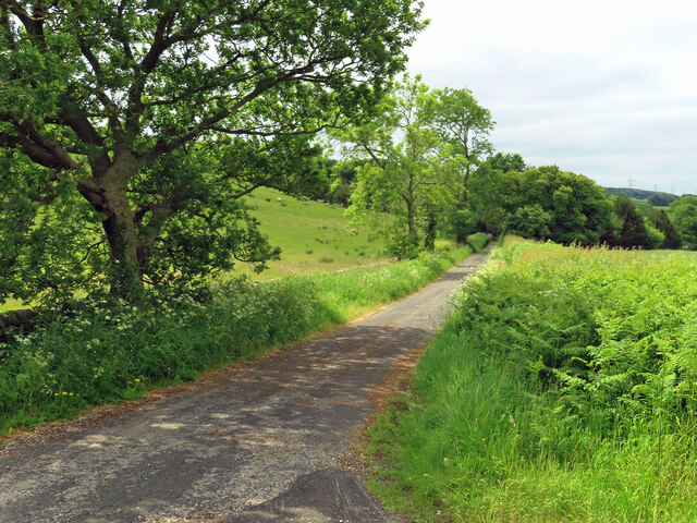
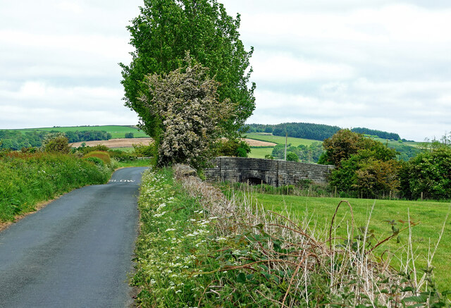
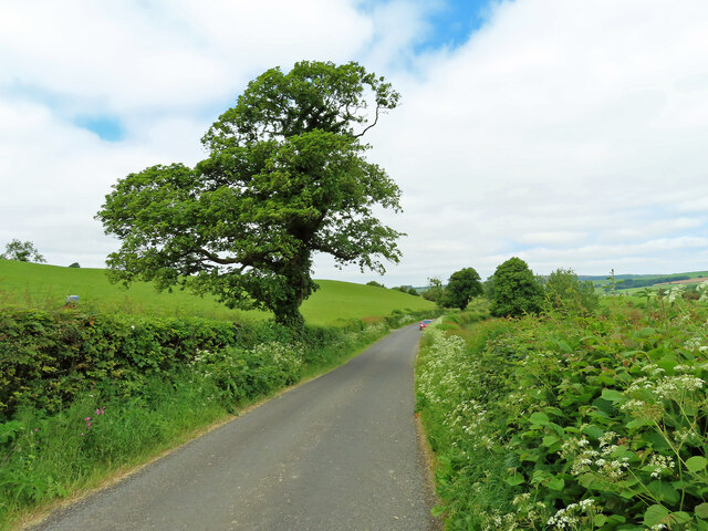
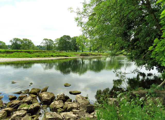
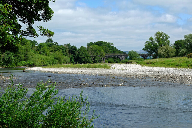
Hale Bank Wood is a picturesque woodland located in the county of Lancashire, England. Situated near the village of Hale, it covers an area of approximately 12 hectares and is known for its diverse range of flora and fauna.
The wood is predominantly made up of broadleaf trees, including oak, beech, and birch, which create a dense canopy overhead, providing a tranquil and shaded environment for visitors. The forest floor is blanketed with a variety of wildflowers, such as bluebells and wood anemones, which bloom in the spring, adding bursts of color to the landscape.
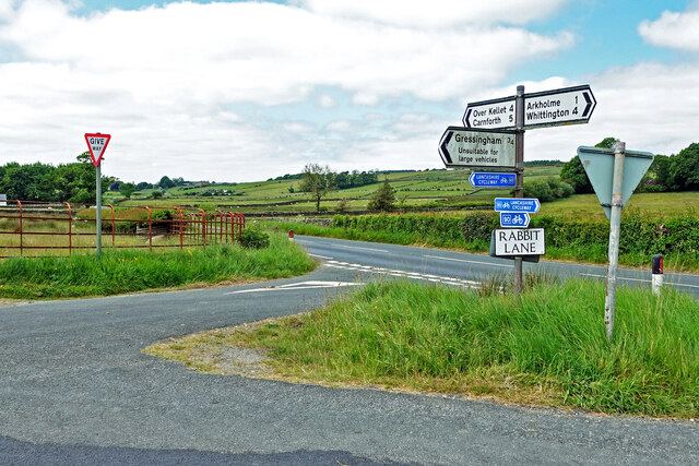
The wood is intersected by a network of well-maintained footpaths, allowing visitors to explore its beauty at their own pace. These paths lead to various points of interest, including a small pond that attracts a variety of bird species, making it a popular spot for birdwatchers.
Hale Bank Wood is also home to a rich diversity of wildlife. Visitors may encounter deer, foxes, and squirrels, as well as a wide variety of bird species, including woodpeckers, owls, and warblers. The wood provides a vital habitat for these creatures, offering shelter, food, and nesting sites.
The wood is managed by the local council, which ensures its preservation and accessibility for the public. It is a popular destination for nature enthusiasts, walkers, and families seeking a peaceful retreat in the heart of Lancashire's countryside.
If you have any feedback on the listing, please let us know in the comments section below.
Hale Bank Wood Images
Images are sourced within 2km of 54.145924/-2.6482039 or Grid Reference SD5772. Thanks to Geograph Open Source API. All images are credited.


Hale Bank Wood is located at Grid Ref: SD5772 (Lat: 54.145924, Lng: -2.6482039)
Administrative County: Lancashire
District: Lancaster
Police Authority: Lancashire
What 3 Words
///fortified.eyelash.spacing. Near Kirkby Lonsdale, Cumbria
Nearby Locations
Related Wikis

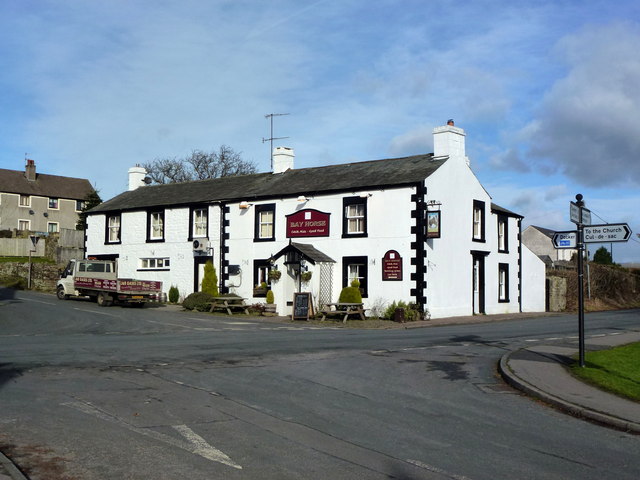
Arkholme-with-Cawood
Arkholme-with-Cawood is a civil parish of the City of Lancaster in Lancashire, England. The parish of Arkholme-with-Cawood had a population of 334 recorded...

Arkholme for Kirkby Lonsdale railway station
Arkholme for Kirkby Lonsdale railway station served the village of Arkholme in Lancashire, England. It is situated on what is now the Leeds–Morecambe line...
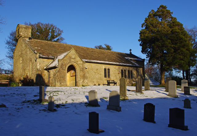
St John the Baptist's Church, Arkholme
St John the Baptist's Church, is in the village of Arkholme, Lancaster, Lancashire, England. It is an active Anglican parish church in the deanery of Tunstall...

Docker, Lancashire
Docker is a hamlet in the civil parish of Whittington, Lancashire, England. It is in the City of Lancaster district, north of Arkholme and south west of...
Melling-with-Wrayton
Melling-with-Wrayton is a civil parish in the City of Lancaster in the English county of Lancashire. It includes the village of Melling and the hamlet...
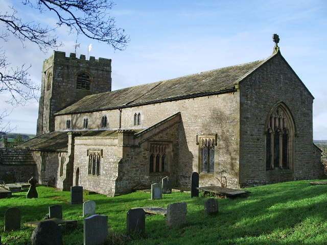
St Wilfrid's Church, Melling
St Wilfrid's Church is in Main Street, Melling, Lancashire, England. It is recorded in the National Heritage List for England as a designated Grade I listed...
Melling railway station (Lancashire)
Melling railway station served the village of Melling, Lancashire, England, from 1867 to 1952 on the Furness and Midland Joint Railway. == History == The...

St John the Evangelist's Church, Gressingham
St John the Evangelist's Church is in the village of Gressingham, Lancashire, England. The church is recorded in the National Heritage List for England...
Nearby Amenities
Located within 500m of 54.145924,-2.6482039Have you been to Hale Bank Wood?
Leave your review of Hale Bank Wood below (or comments, questions and feedback).