Hakes Hill Wood

Wood, Forest in Gloucestershire

England

Hakes Hill Wood

Compton Greenfield (Glos) All Saints Church
Compton Greenfield (Glos) All Saints Church Credit: ChurchCrawler

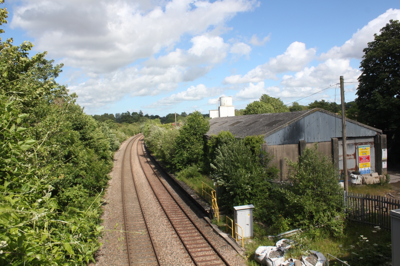
Hakes Hill Wood is a picturesque woodland located in Gloucestershire, England. Nestled in the heart of the countryside, this forested area covers approximately 20 acres of land. The wood is mainly composed of broad-leaved trees, including oak, beech, and ash, providing a diverse and vibrant habitat for a wide range of flora and fauna.

The woodland is known for its tranquil and serene atmosphere, making it a popular destination for nature enthusiasts, hikers, and dog walkers. The terrain is relatively flat, with well-maintained footpaths that meander through the trees, allowing visitors to explore the woods at their leisure.

Throughout the year, Hakes Hill Wood offers a stunning display of seasonal colors. In spring, the forest floor is adorned with a carpet of bluebells, creating a breathtaking sight. In autumn, the trees transform into a vibrant palette of reds, oranges, and yellows, attracting photographers and artists from far and wide.

The wood also serves as an important wildlife habitat. Birds such as woodpeckers, nuthatches, and tawny owls can be spotted among the branches, while small mammals like squirrels and rabbits scurry through the undergrowth. The abundance of insects, including butterflies and beetles, contributes to the woodland's biodiversity.

Hakes Hill Wood is easily accessible, with a small car park located nearby, providing convenient access for visitors. The wood is managed by the local council, ensuring its preservation and maintenance for future generations to enjoy. Whether seeking solace in nature or simply looking for a leisurely walk, Hakes Hill Wood offers a peaceful and idyllic retreat for all who venture into its leafy depths.

If you have any feedback on the listing, please let us know in the comments section below.

Hakes Hill Wood Images

Images are sourced within 2km of 51.527863/-2.630147 or Grid Reference ST5681. Thanks to Geograph Open Source API. All images are credited.

Compton Greenfield (Glos) All Saints Church
Mercedes-Benz at Cribbs Just one of the many 'sheds' at Cribbs Causeway  shopping centre.
Mercedes-Benz at Cribbs
Just one of the many 'sheds' at Cribbs Causeway shopping centre.
Morrisons store, Cribbs Causeway A view looking west to the illuminated towers of the Morrisons store at Cribbs Causeway Regional Shopping Centre.
Morrisons store, Cribbs Causeway
A view looking west to the illuminated towers of the Morrisons store at Cribbs Causeway Regional Shopping Centre.
Wyck Beck Road, Henbury Behind the hedge beyond the roundabout is Clifton Rugby Ground. The row of trees on the horizon is the M5.
Wyck Beck Road, Henbury
Behind the hedge beyond the roundabout is Clifton Rugby Ground. The row of trees on the horizon is the M5.
Tree by Old Elizabethan's RFC Tree covered in mistletoe on the edge of the rugby pitch, by Severn Road.
Tree by Old Elizabethan's RFC
Tree covered in mistletoe on the edge of the rugby pitch, by Severn Road.
Church in Hallen The church is at the cross-roads in Hallen.
Church in Hallen
The church is at the cross-roads in Hallen.
Berwick
Berwick
Man Made Structure I don't know what this structure is that is marked on the OS Map running along the side of the road.
Man Made Structure
I don't know what this structure is that is marked on the OS Map running along the side of the road.
Man Made Embankment The end of the man-made embankment looking south-east. 
The map and the actual ground features seem slightly different as the footpath actually starts by the end of the structure. Another photo of the structure is <a href="https://www.geograph.org.uk/photo/118651">ST5580 : Man Made Structure</a> in the neighbouring grid square.
Man Made Embankment
The end of the man-made embankment looking south-east. The map and the actual ground features seem slightly different as the footpath actually starts by the end of the structure. Another photo of the structure is ST5580 : Man Made Structure in the neighbouring grid square.
End of the road This road used to go to Vimpenny's Common according to the 1940's OS Map, now the M49 blocks the way and Vimpenny's Common is no longer there. The M49 is on the horizon.
End of the road
This road used to go to Vimpenny's Common according to the 1940's OS Map, now the M49 blocks the way and Vimpenny's Common is no longer there. The M49 is on the horizon.
Road by Brook Farm
Road by Brook Farm
Compton Greenfield Junction leading into Compton Greenfield, looking north-west.
"Compton" is derived from the words 'combe' meaning valley, and 'ton' meaning settlement.
Compton Greenfield
Junction leading into Compton Greenfield, looking north-west. "Compton" is derived from the words 'combe' meaning valley, and 'ton' meaning settlement.
Steep winding road The road is narrow and climbs between the steep banks.
Steep winding road
The road is narrow and climbs between the steep banks.
Bridge under the M5 by Hollywood Tower The entrance to Hollywood Tower is on the left just before the bridge. On the other side of the bridge is the Cribbs Causeway Shopping Centre.
Bridge under the M5 by Hollywood Tower
The entrance to Hollywood Tower is on the left just before the bridge. On the other side of the bridge is the Cribbs Causeway Shopping Centre.
Gas works A view of all three gas containers from a field to the south.
Gas works
A view of all three gas containers from a field to the south.
Gas container A view of the sun striking the westernmost gas container with heavy rainclouds in the background.
Gas container
A view of the sun striking the westernmost gas container with heavy rainclouds in the background.
Gas works A view of all three gas containers from behind the Selvaco carbon plant.  The farm buildings in front of the containers are part of Minor farm.
Gas works
A view of all three gas containers from behind the Selvaco carbon plant. The farm buildings in front of the containers are part of Minor farm.
Electricity pylon This pylon is one of a long line carrying power from Seabank power station towards Bristol.
Electricity pylon
This pylon is one of a long line carrying power from Seabank power station towards Bristol.
Show me another place!

Hakes Hill Wood is located at Grid Ref: ST5681 (Lat: 51.527863, Lng: -2.630147)

Unitary Authority: South Gloucestershire

Police Authority: Avon and Somerset

What 3 Words

///spell.spices.stores. Near Pilning, Gloucestershire

Related Wikis

Berwick, Gloucestershire

Berwick is a hamlet in the South Gloucestershire district, in the English county of Gloucestershire. Nearby settlements include the city of Bristol and...

Compton Greenfield

Compton Greenfield is a small hamlet of farms and spread out houses to the south west of Easter Compton, in South Gloucestershire. The parish church of...

Wild Place Project

Bristol Zoo Project, formerly known as Wild Place Project, is a wildlife conservation park in South Gloucestershire, United Kingdom. It is run by Bristol...

Easter Compton

Easter Compton is a village in the civil parish of Almondsbury, South Gloucestershire, England. It is situated at the bottom of a hill (known as Blackhorse...

Cribbs F.C.

Cribbs Football Club is an English football club founded in 1958 and based at Cribbs Causeway, South Gloucestershire. They are currently members of Southern...

Catbrain

Catbrain Hill, simply known as Catbrain, is a small village in England north of the city of Bristol, within the county of South Gloucestershire. It is...

Henbury railway station

Henbury railway station served the Bristol suburb of Henbury, England, from 1910 to 1965. The station was situated on the Henbury Loop Line of the Great...

Hallen, Gloucestershire

Hallen is a village in South Gloucestershire, England, just north of the Bristol city boundary. It is southwest of Easter Compton, northeast of Avonmouth...

Nearby Amenities

Located within 500m of 51.527863,-2.630147
Barrier: kissing_gate
Lat/Long: 51.5285048/-2.6321436
Barrier: stile
Lat/Long: 51.5284983/-2.635577
Access: no
Barrier: kissing_gate
Foot: yes
Lat/Long: 51.5316359/-2.6297952
Generator Method: wind_turbine
Generator Source: wind
Generator Type: horizontal_axis
Power: generator
Lat/Long: 51.5302777/-2.6293592
Access: no
Barrier: kissing_gate
Foot: yes
Lat/Long: 51.530594/-2.6303976
Barrier: stile
Lat/Long: 51.52821/-2.6367145
Marker: post
Utility: oil
Lat/Long: 51.528067/-2.6369648
Skirmish
Sport: shooting
Lat/Long: 51.5257058/-2.6242766
Turning Circle
Lat/Long: 51.5247492/-2.6252246
Colour: yellow;black
Marker: aerial
Operator: GPSS
Utility: oil
Lat/Long: 51.5269379/-2.6232985
Colour: yellow;black
Marker: aerial
Operator: GPSS
Utility: oil
Lat/Long: 51.5270147/-2.6244815
Power: pole
Lat/Long: 51.531308/-2.62588
Power: pole
Lat/Long: 51.5308183/-2.6254857
Power: pole
Lat/Long: 51.5301877/-2.625005
Power: pole
Lat/Long: 51.52949/-2.6253039
Power: pole
Lat/Long: 51.5286054/-2.6256967
Power: pole
Lat/Long: 51.5278099/-2.6260603
Power: pole
Lat/Long: 51.5269109/-2.6254163
Spaniorum Hill
Natural: peak
Lat/Long: 51.5305454/-2.6303928
The data included in this document is from www.openstreetmap.org. The data is made available under ODbL.

Have you been to Hakes Hill Wood?

Leave your review of Hakes Hill Wood below (or comments, questions and feedback).