Peasons Plantations
Wood, Forest in Dorset
England
Peasons Plantations
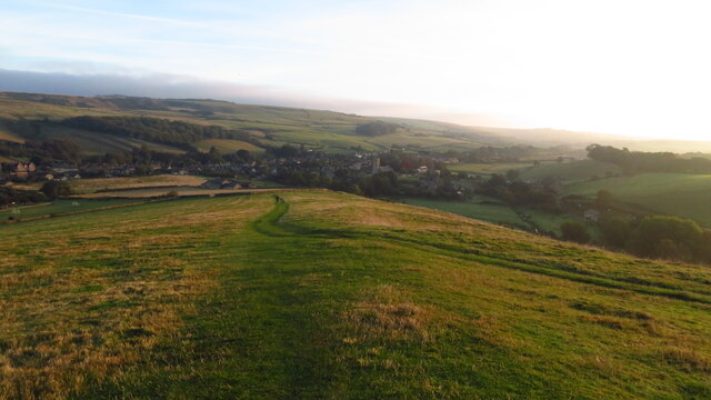
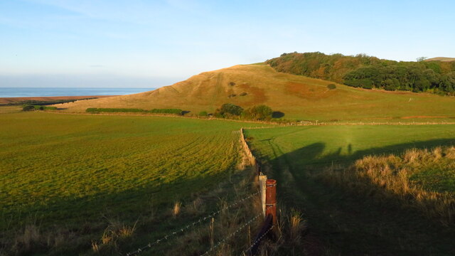
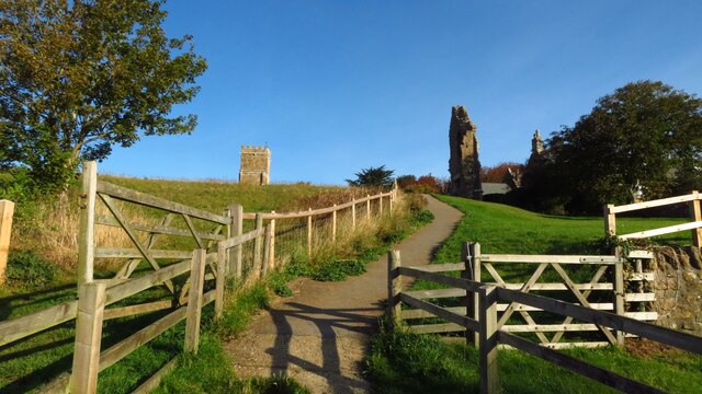
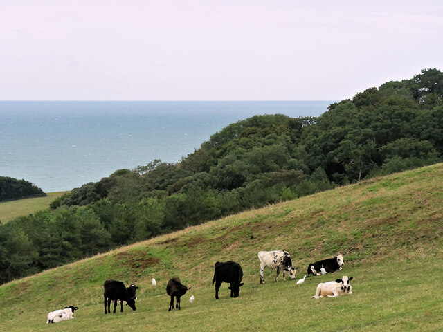
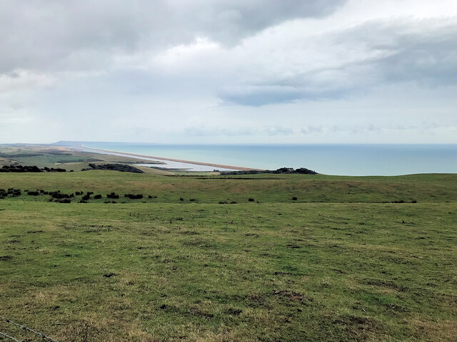
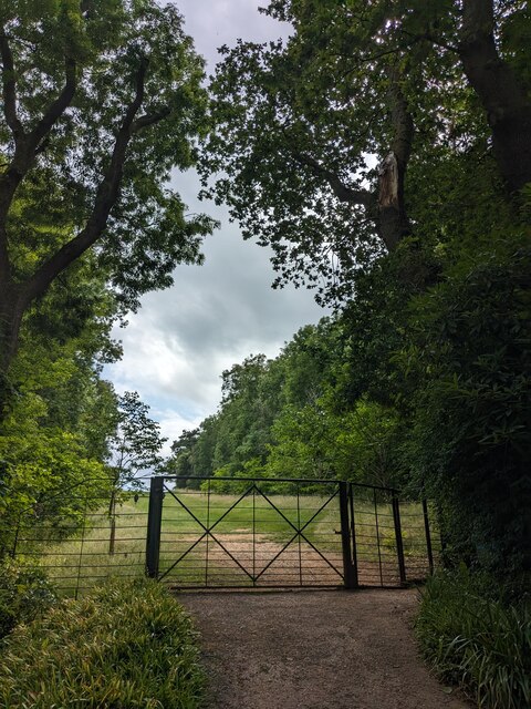
Pearson's Plantations is a renowned woodland area located in Dorset, England. Covering a vast expanse, it is known for its lush greenery and captivating forest scenery. Spanning over several acres, this plantation is a popular destination for nature enthusiasts and hikers alike.
The woodland is dominated by a diverse range of tree species, including oak, beech, and pine. These trees create a unique ecosystem, providing shelter and sustenance to various wildlife species. The forest floor is covered in a thick carpet of moss, ferns, and wildflowers, enhancing the enchanting ambiance of the area.
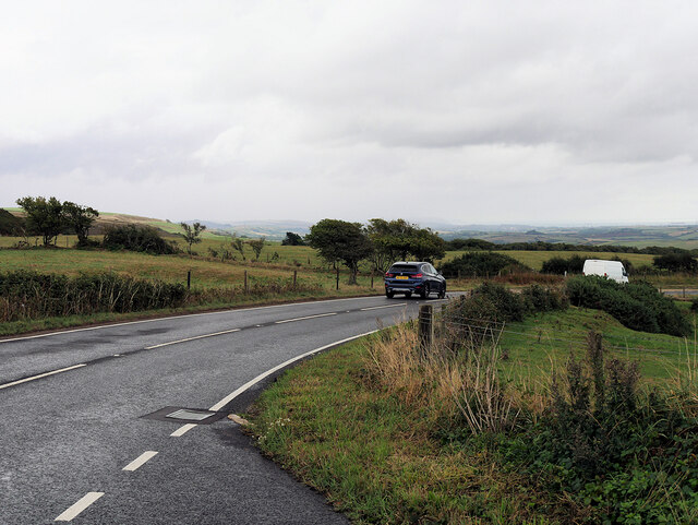
Pearson's Plantations boasts well-maintained walking trails, allowing visitors to explore the natural beauty at their own pace. These paths wind through the woods, offering glimpses of picturesque streams and small ponds scattered throughout the area. The plantation is also home to a network of birdwatching hides, enabling bird enthusiasts to observe and appreciate the wide variety of avian species that inhabit the forest.
In addition to its natural charm, Pearson's Plantations also offers educational programs and guided tours, providing visitors with insights into the local flora and fauna. The plantation actively promotes conservation efforts and sustainable practices, aiming to preserve the pristine beauty of the woodland for generations to come.
Overall, Pearson's Plantations in Dorset is a captivating woodland area that offers a serene escape from the hustle and bustle of everyday life. With its breathtaking scenery, diverse wildlife, and commitment to conservation, it is a must-visit destination for nature lovers and those seeking tranquility amidst nature's splendor.
If you have any feedback on the listing, please let us know in the comments section below.
Peasons Plantations Images
Images are sourced within 2km of 50.661589/-2.6185756 or Grid Reference SY5684. Thanks to Geograph Open Source API. All images are credited.
Peasons Plantations is located at Grid Ref: SY5684 (Lat: 50.661589, Lng: -2.6185756)
Unitary Authority: Dorset
Police Authority: Dorset
What 3 Words
///miss.credit.spearing. Near Chickerell, Dorset
Nearby Locations
Related Wikis

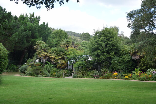
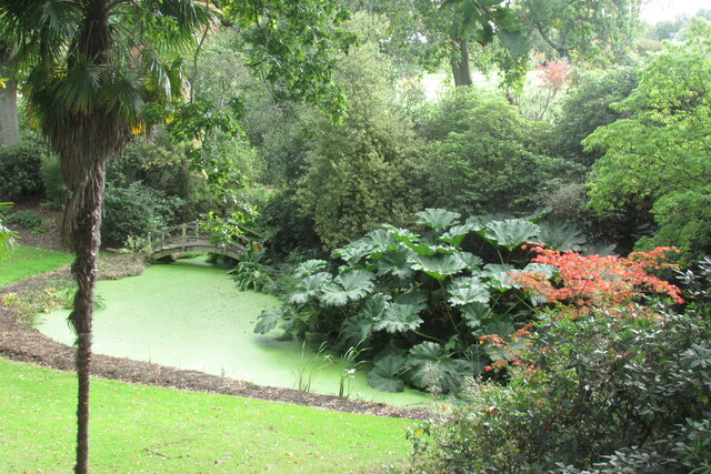
Abbotsbury Subtropical Gardens
The Abbotsbury Subtropical Gardens is a visitor attraction near the village of Abbotsbury, Dorset, southern England. They are Grade I listed in the National...
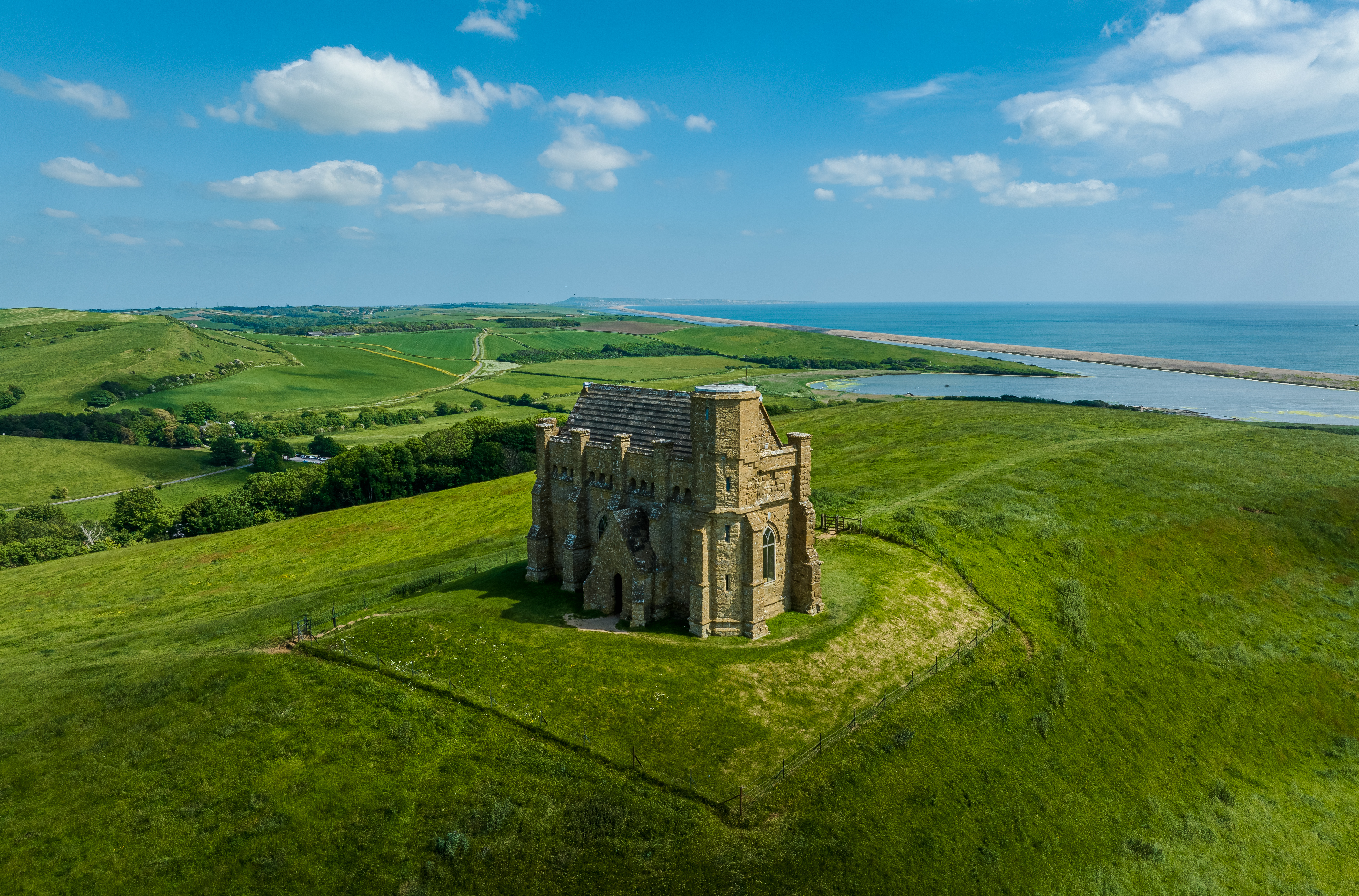
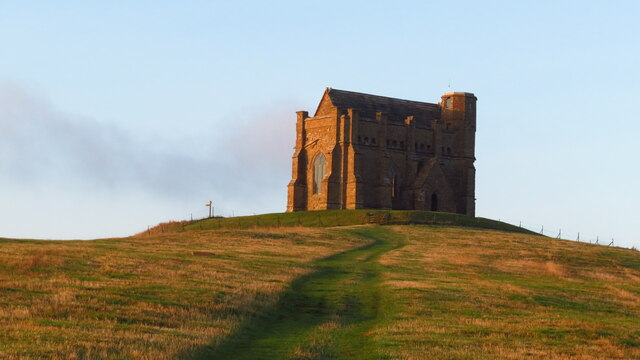
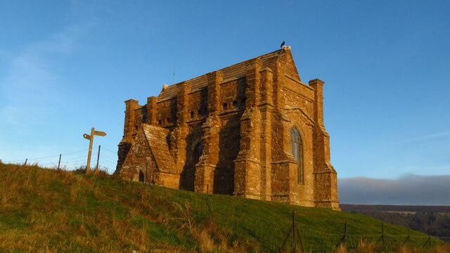
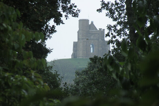
St Catherine's Chapel, Abbotsbury
St Catherine's Chapel is a small chapel situated on a hill above the village of Abbotsbury in Dorset, England. It is dedicated to Saint Catherine. It is...

Abbotsbury
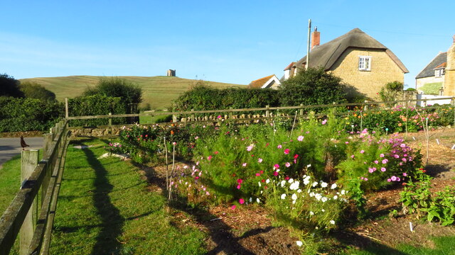
Abbotsbury is a village and civil parish in the English county of Dorset. The settlement is in the unitary authority of Dorset about 1 mile (1.6 km) inland...

Abbotsbury Swannery
Abbotsbury Swannery is a colony of nesting mute swans near the village of Abbotsbury in Dorset, England. Located on a 1-hectare (2-acre) site around the...
Nearby Amenities
Located within 500m of 50.661589,-2.6185756Have you been to Peasons Plantations?
Leave your review of Peasons Plantations below (or comments, questions and feedback).