Coneythorpe

Settlement in Yorkshire Harrogate

England

Coneythorpe

The Temple, Allerton Park Taken from the A168
The Temple, Allerton Park Credit: Alison Stamp

Coneythorpe is a small village located in the county of North Yorkshire, England. Situated about 6 miles to the northwest of the city of York, it falls within the Harrogate district. The village is nestled in a picturesque rural setting, surrounded by rolling countryside and bordered by the River Nidd.

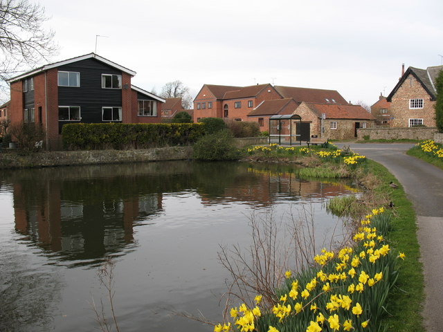
With a population of around 150 residents, Coneythorpe exudes a quaint and tranquil ambiance. The village is characterized by traditional stone-built houses and cottages, many of which date back several centuries. These architectural gems contribute to the area's charm and offer a glimpse into its rich history.

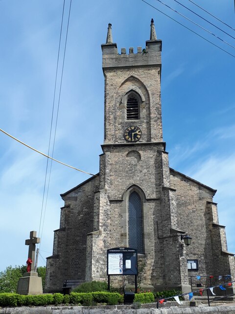
Despite its small size, Coneythorpe boasts a close-knit community spirit, with various community events and activities taking place throughout the year. The village is served by St. Michael's Church, a beautiful place of worship that adds to the village's heritage.

The surrounding countryside provides ample opportunities for outdoor pursuits and exploration. Coneythorpe is located near the expansive Nidderdale Area of Outstanding Natural Beauty, offering residents and visitors alike the chance to enjoy scenic walks, cycling routes, and wildlife spotting.

While Coneythorpe is primarily a residential village, neighboring towns and cities, such as York and Harrogate, provide easy access to a range of amenities, including shopping centers, restaurants, and cultural attractions. The village's convenient location also allows for straightforward commuting to nearby employment hubs.

In summary, Coneythorpe is a charming and idyllic village in the heart of Yorkshire, offering a peaceful retreat for its residents and a gateway to the stunning countryside of North Yorkshire.

If you have any feedback on the listing, please let us know in the comments section below.
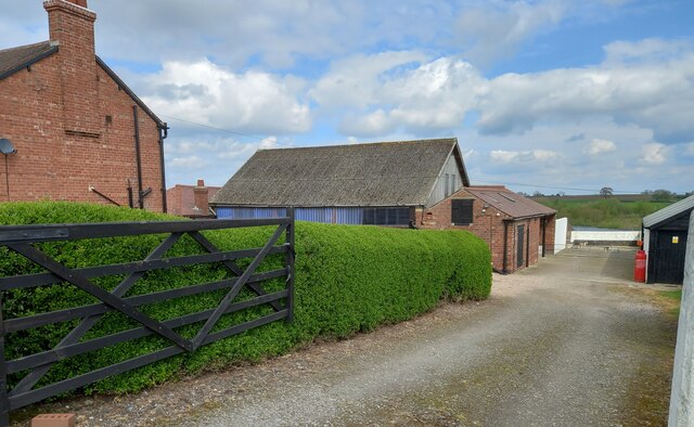
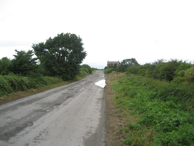
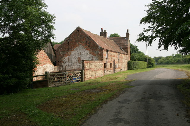
Coneythorpe Images

Images are sourced within 2km of 54.026582/-1.400589 or Grid Reference SE3959. Thanks to Geograph Open Source API. All images are credited.
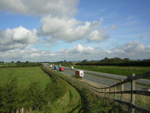
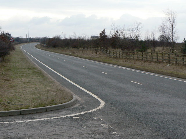
The Temple, Allerton Park Taken from the A168
The Temple, Allerton Park
Taken from the A168
A1M at Sand Hill Bridleway running parallel and to the west of the A1M between junctions 47 and 48
A1M at Sand Hill
Bridleway running parallel and to the west of the A1M between junctions 47 and 48
Walls Close House The very handsome Walls Close House Farm, bathed in the early May sunshine.
Walls Close House
The very handsome Walls Close House Farm, bathed in the early May sunshine.
The Temple The Temple Folly as viewed from the North Entrance to Allerton Park estate on the Great North Road, south of Boroughbridge.
The Temple
The Temple Folly as viewed from the North Entrance to Allerton Park estate on the Great North Road, south of Boroughbridge.
A168 at Allerton Park The A168 runs parallel with the A1[M] at this point, using the south bound carriageway of the old A1. The wall to the right is the boundary of Allerton Park.
A168 at Allerton Park
The A168 runs parallel with the A1[M] at this point, using the south bound carriageway of the old A1. The wall to the right is the boundary of Allerton Park.
The old Great North Road beyond Claro House This is the old Great North Road which in this vicinity had already been bypassed in the 1960s by the A1, which later became the A168 when it was in turn replaced by the A1(M).  The sign saying "public bridleway only" is reinforced by concrete blocks.
The old Great North Road beyond Claro House
This is the old Great North Road which in this vicinity had already been bypassed in the 1960s by the A1, which later became the A168 when it was in turn replaced by the A1(M). The sign saying "public bridleway only" is reinforced by concrete blocks.
Phone box on the old Great North Road The old Great North Road in this vicinity had already been bypassed in the 1960s by the A1, which later became the A168 when it was in turn replaced by the A1(M).  Emergency phones like this have been superseded, other than on motorways, in the era of the mobile phone.  <a href="https://www.geograph.org.uk/photo/214244">SE4060 : Abandoned SOS Phone</a> shows a close look.
Phone box on the old Great North Road
The old Great North Road in this vicinity had already been bypassed in the 1960s by the A1, which later became the A168 when it was in turn replaced by the A1(M). Emergency phones like this have been superseded, other than on motorways, in the era of the mobile phone. SE4060 : Abandoned SOS Phone shows a close look.
Thornbar Farm The farm was adjacent to the old Great North Road which is now only a bridleway apart from farm access.
Thornbar Farm
The farm was adjacent to the old Great North Road which is now only a bridleway apart from farm access.
Moor Lane track, Great Ouseburn According to the 1910 OS map there was a benchmark at this location on the north side of the track. Nothing was found.
Moor Lane track, Great Ouseburn
According to the 1910 OS map there was a benchmark at this location on the north side of the track. Nothing was found.
Claro House, Coneythorpe on A168 According to the OS benchmark database there was a benchmark cut into the west facing wall of the building. Nothing was found.
Claro House, Coneythorpe on A168
According to the OS benchmark database there was a benchmark cut into the west facing wall of the building. Nothing was found.
Unruly field hedge on track between South Farm and Thornber Farm According to the 1910 OS map there was a benchmark at this location. Nothing was found.
Unruly field hedge on track between South Farm and Thornber Farm
According to the 1910 OS map there was a benchmark at this location. Nothing was found.
Outbuilding of Thornber Farm, Coneythorpe According to the OS benchmark database there is a benchmark cut into the west face of this brick built, one-storey outbuilding. There was no view from the roadside.
Outbuilding of Thornber Farm, Coneythorpe
According to the OS benchmark database there is a benchmark cut into the west face of this brick built, one-storey outbuilding. There was no view from the roadside.
Original Great North Road This pitted and rutted bridleway falling into disrepair used to be the Great North Road (A1.)  It has been shifted twice since then, and now runs parallel with the A168 and A1(M) - the original now forgotten
Original Great North Road
This pitted and rutted bridleway falling into disrepair used to be the Great North Road (A1.) It has been shifted twice since then, and now runs parallel with the A168 and A1(M) - the original now forgotten
Abandoned SOS Phone This stands beside a bridleway that used to carry the Great North Road.  There is no phone inside, but there is a copious amount of rotting garbage and an interesting variety of invertebrate life, mainly maggots, that have commandeered this accommodation
Abandoned SOS Phone
This stands beside a bridleway that used to carry the Great North Road. There is no phone inside, but there is a copious amount of rotting garbage and an interesting variety of invertebrate life, mainly maggots, that have commandeered this accommodation
Claro House Farm Part of the former Great North Road can still be seen at Claro House Farm south of Boroughbridge. Both have now been bypassed by the much less impressive sounding A1M.
Claro House Farm
Part of the former Great North Road can still be seen at Claro House Farm south of Boroughbridge. Both have now been bypassed by the much less impressive sounding A1M.
The old A1 at Nineveh This is the second generation of the A1 at this point. The original alignment is off to the left and is now simply a farm track. See <a href="https://www.geograph.org.uk/photo/1709197">SE4060 : Nineveh Farm</a>. Beyond the bank to the right is the new A1(M) with 3 lanes in each direction. The old road, now the A168, had to be maintained for the passage of non-motorway traffic.
The old A1 at Nineveh
This is the second generation of the A1 at this point. The original alignment is off to the left and is now simply a farm track. See SE4060 : Nineveh Farm. Beyond the bank to the right is the new A1(M) with 3 lanes in each direction. The old road, now the A168, had to be maintained for the passage of non-motorway traffic.
Old and new at Nineveh The old A1, now the A168, to the left with its replacement, the A1(M) to the right.
Old and new at Nineveh
The old A1, now the A168, to the left with its replacement, the A1(M) to the right.
St Bartholomew, Arkendale A parish church that stands on a small triangular site at the east end of the village. It dates from the 19th century but is not listed.
St Bartholomew, Arkendale
A parish church that stands on a small triangular site at the east end of the village. It dates from the 19th century but is not listed.
Show me another place!

Coneythorpe is located at Grid Ref: SE3959 (Lat: 54.026582, Lng: -1.400589)

Division: West Riding

Administrative County: North Yorkshire

District: Harrogate

Police Authority: North Yorkshire

What 3 Words

///prevented.microfilm.faces. Near Knaresborough, North Yorkshire

Related Wikis

Nearby Amenities

Located within 500m of 54.026582,-1.400589
Coneythorpe
Created By: Potlatch 0.4a
Is In: UK,England,Yorkshire,North Yorkshire
Place: hamlet
Wikidata: Q5159622
Lat/Long: 54.0251797/-1.4001539
Clareton
Created By: Potlatch 0.4a
Is In: UK,England,Yorkshire,North Yorkshire
Place: hamlet
Lat/Long: 54.0287744/-1.3982571
Created By: Merkaartor 0.13
Lat/Long: 54.0238853/-1.4020719
Created By: Merkaartor 0.13
Lat/Long: 54.0232578/-1.4024217
Created By: Merkaartor 0.13
Lat/Long: 54.022521/-1.4027365
Pub
The Tiger Inn
Created By: Merkaartor 0.13
Source: survey
Wheelchair: limited
Lat/Long: 54.0245819/-1.4008293
Post Box
Lat/Long: 54.0259813/-1.4003471
Turning Loop
Lat/Long: 54.0281573/-1.398739
The data included in this document is from www.openstreetmap.org. The data is made available under ODbL.

Have you been to Coneythorpe?

Leave your review of Coneythorpe below (or comments, questions and feedback).