Clareton Field

Downs, Moorland in Yorkshire Harrogate

England

Clareton Field

The old Great North Road beyond Claro House This is the old Great North Road which in this vicinity had already been bypassed in the 1960s by the A1, which later became the A168 when it was in turn replaced by the A1(M).  The sign saying "public bridleway only" is reinforced by concrete blocks.
The old Great North Road beyond Claro House Credit: Stephen Craven

Clareton Field, located in Yorkshire, is a picturesque landscape encompassing both the Downs and Moorland regions. With its diverse topography, it offers a unique blend of rolling hills, sprawling grasslands, and rugged moors, making it an ideal destination for nature enthusiasts and outdoor adventurers.

The Downs section of Clareton Field boasts gently sloping hills and lush meadows, creating a serene and peaceful atmosphere. The verdant landscape is adorned with vibrant wildflowers, providing a stunning backdrop for leisurely walks or picnics. Visitors can also enjoy panoramic views of the surrounding countryside from the higher vantage points.

On the other hand, the Moorland region of Clareton Field presents a more rugged and wild terrain. Here, visitors can experience the untamed beauty of heather-clad moors and ancient woodland. The moors are dotted with rocky outcrops, creating a dramatic and awe-inspiring landscape. Hiking enthusiasts are drawn to this area, as it offers various trails and pathways that provide an opportunity to explore the untamed wilderness.

Clareton Field is also home to a rich and diverse range of wildlife. Keen birdwatchers can spot species such as red grouse, curlews, and skylarks, while other animals like rabbits, deer, and foxes can be spotted amidst the flora and fauna.

Overall, Clareton Field in Yorkshire is a haven for nature lovers, offering a harmonious blend of Downs and Moorland landscapes. Whether visitors seek peaceful strolls, challenging hikes, or wildlife encounters, this enchanting location provides a truly immersive and unforgettable experience.

If you have any feedback on the listing, please let us know in the comments section below.

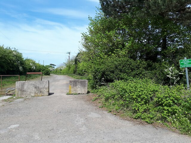
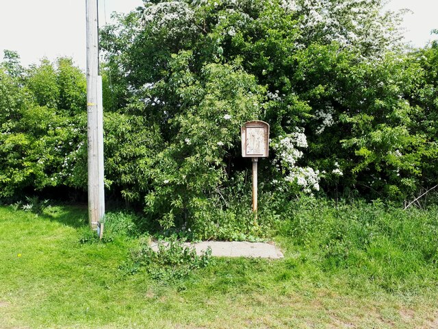
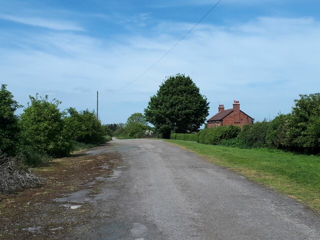
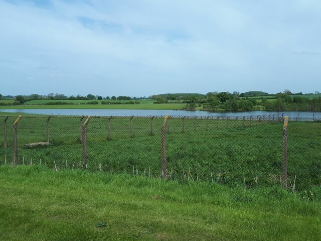
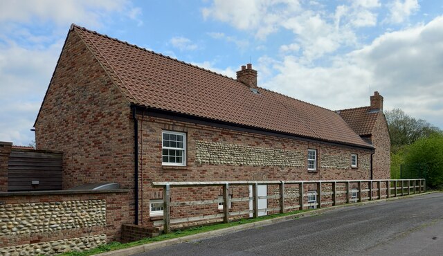
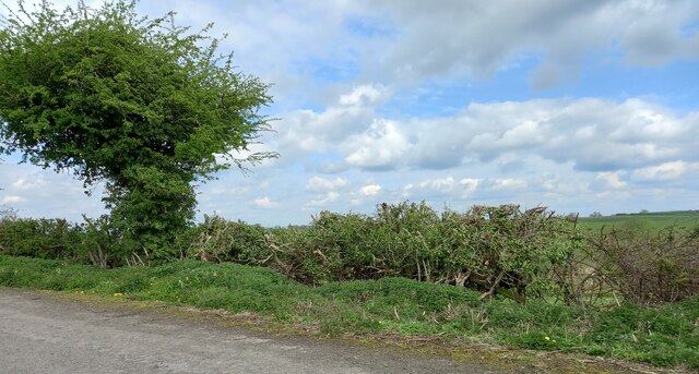
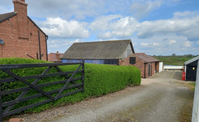
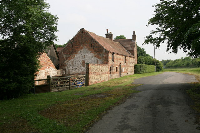
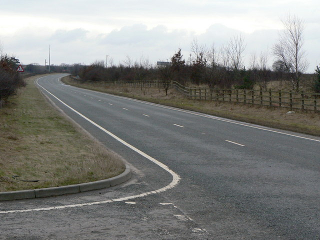
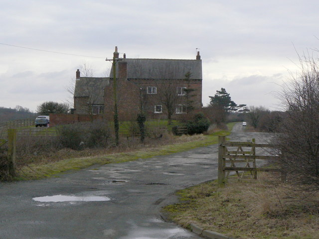
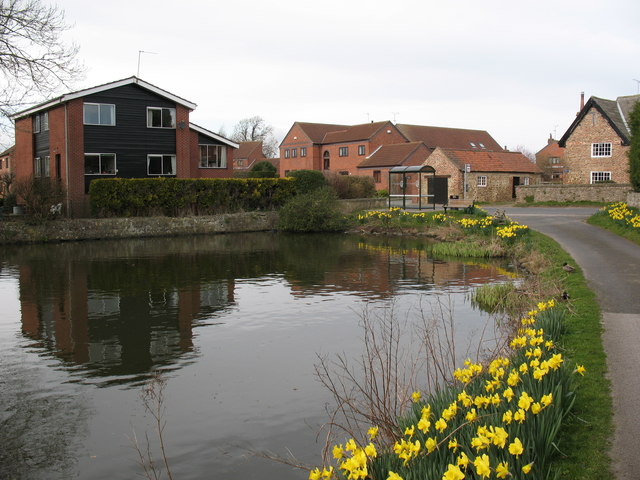
Clareton Field Images

Images are sourced within 2km of 54.032367/-1.4022109 or Grid Reference SE3959. Thanks to Geograph Open Source API. All images are credited.
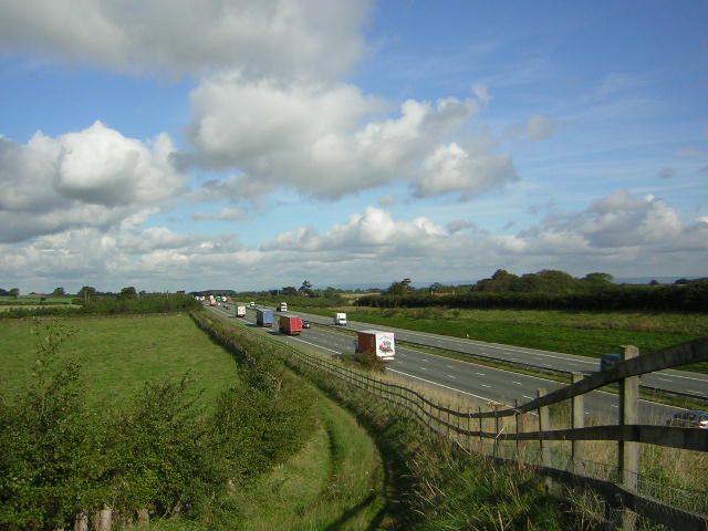
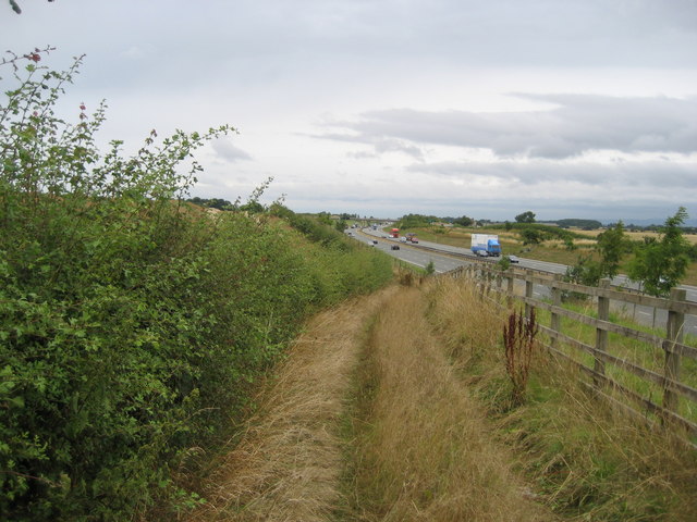
The old Great North Road beyond Claro House This is the old Great North Road which in this vicinity had already been bypassed in the 1960s by the A1, which later became the A168 when it was in turn replaced by the A1(M).  The sign saying "public bridleway only" is reinforced by concrete blocks.
The old Great North Road beyond Claro House
This is the old Great North Road which in this vicinity had already been bypassed in the 1960s by the A1, which later became the A168 when it was in turn replaced by the A1(M). The sign saying "public bridleway only" is reinforced by concrete blocks.
Phone box on the old Great North Road The old Great North Road in this vicinity had already been bypassed in the 1960s by the A1, which later became the A168 when it was in turn replaced by the A1(M).  Emergency phones like this have been superseded, other than on motorways, in the era of the mobile phone.  <a href="https://www.geograph.org.uk/photo/214244">SE4060 : Abandoned SOS Phone</a> shows a close look.
Phone box on the old Great North Road
The old Great North Road in this vicinity had already been bypassed in the 1960s by the A1, which later became the A168 when it was in turn replaced by the A1(M). Emergency phones like this have been superseded, other than on motorways, in the era of the mobile phone. SE4060 : Abandoned SOS Phone shows a close look.
Thornbar Farm The farm was adjacent to the old Great North Road which is now only a bridleway apart from farm access.
Thornbar Farm
The farm was adjacent to the old Great North Road which is now only a bridleway apart from farm access.
Lake east of Nineveh Farm This doesn't appear on maps of even 50 years ago.  I presume it's the result of either quarrying or mining subsidence since then.
Lake east of Nineveh Farm
This doesn't appear on maps of even 50 years ago. I presume it's the result of either quarrying or mining subsidence since then.
Moor Lane track, Great Ouseburn According to the 1910 OS map there was a benchmark at this location on the north side of the track. Nothing was found.
Moor Lane track, Great Ouseburn
According to the 1910 OS map there was a benchmark at this location on the north side of the track. Nothing was found.
Claro House, Coneythorpe on A168 According to the OS benchmark database there was a benchmark cut into the west facing wall of the building. Nothing was found.
Claro House, Coneythorpe on A168
According to the OS benchmark database there was a benchmark cut into the west facing wall of the building. Nothing was found.
Unruly field hedge on track between South Farm and Thornber Farm According to the 1910 OS map there was a benchmark at this location. Nothing was found.
Unruly field hedge on track between South Farm and Thornber Farm
According to the 1910 OS map there was a benchmark at this location. Nothing was found.
Outbuilding of Thornber Farm, Coneythorpe According to the OS benchmark database there is a benchmark cut into the west face of this brick built, one-storey outbuilding. There was no view from the roadside.
Outbuilding of Thornber Farm, Coneythorpe
According to the OS benchmark database there is a benchmark cut into the west face of this brick built, one-storey outbuilding. There was no view from the roadside.
The Temple, Allerton Park Taken from the A168
The Temple, Allerton Park
Taken from the A168
A1M at Sand Hill Bridleway running parallel and to the west of the A1M between junctions 47 and 48
A1M at Sand Hill
Bridleway running parallel and to the west of the A1M between junctions 47 and 48
Track beside A1(M) Well defined track, presumably to direct walkers towards the approaching flyover
Track beside A1(M)
Well defined track, presumably to direct walkers towards the approaching flyover
A168 approaching Ninevah This used to be the Great North Road or A1, which now runs parallel to the right and has been upgraded to motorway status. The former A1 has been relegated to the A168, and as can be seen is empty. I walked down here for 15 minutes and was passed by three cars - I was tempted to let the dog off the lead
A168 approaching Ninevah
This used to be the Great North Road or A1, which now runs parallel to the right and has been upgraded to motorway status. The former A1 has been relegated to the A168, and as can be seen is empty. I walked down here for 15 minutes and was passed by three cars - I was tempted to let the dog off the lead
Original Great North Road This pitted and rutted bridleway falling into disrepair used to be the Great North Road (A1.)  It has been shifted twice since then, and now runs parallel with the A168 and A1(M) - the original now forgotten
Original Great North Road
This pitted and rutted bridleway falling into disrepair used to be the Great North Road (A1.) It has been shifted twice since then, and now runs parallel with the A168 and A1(M) - the original now forgotten
Abandoned SOS Phone This stands beside a bridleway that used to carry the Great North Road.  There is no phone inside, but there is a copious amount of rotting garbage and an interesting variety of invertebrate life, mainly maggots, that have commandeered this accommodation
Abandoned SOS Phone
This stands beside a bridleway that used to carry the Great North Road. There is no phone inside, but there is a copious amount of rotting garbage and an interesting variety of invertebrate life, mainly maggots, that have commandeered this accommodation
Claro House Farm Part of the former Great North Road can still be seen at Claro House Farm south of Boroughbridge. Both have now been bypassed by the much less impressive sounding A1M.
Claro House Farm
Part of the former Great North Road can still be seen at Claro House Farm south of Boroughbridge. Both have now been bypassed by the much less impressive sounding A1M.
Motorway mayhem Traffic reduced to a crawl on the northbound A1[M] due to an accident a little further up the road.
Motorway mayhem
Traffic reduced to a crawl on the northbound A1[M] due to an accident a little further up the road.
The old A1 at Nineveh This is the second generation of the A1 at this point. The original alignment is off to the left and is now simply a farm track. See <a href="https://www.geograph.org.uk/photo/1709197">SE4060 : Nineveh Farm</a>. Beyond the bank to the right is the new A1(M) with 3 lanes in each direction. The old road, now the A168, had to be maintained for the passage of non-motorway traffic.
The old A1 at Nineveh
This is the second generation of the A1 at this point. The original alignment is off to the left and is now simply a farm track. See SE4060 : Nineveh Farm. Beyond the bank to the right is the new A1(M) with 3 lanes in each direction. The old road, now the A168, had to be maintained for the passage of non-motorway traffic.
Nineveh Farm The access to the farm is the original A1, now superseded by two generations of improvements.
Nineveh Farm
The access to the farm is the original A1, now superseded by two generations of improvements.
Show me another place!

Clareton Field is located at Grid Ref: SE3959 (Lat: 54.032367, Lng: -1.4022109)

Division: West Riding

Administrative County: North Yorkshire

District: Harrogate

Police Authority: North Yorkshire

What 3 Words

///thigh.subsystem.faded. Near Knaresborough, North Yorkshire

Related Wikis

Arkendale

Arkendale is a village and civil parish in the Harrogate district of North Yorkshire, England. It is 6 miles (10 km) north-east of Harrogate town, and...

Allerton waste recovery park

Allerton waste recovery park is a waste recovery and incineration site located on a former quarry at Allerton Mauleverer, near Knaresborough, England....

Flaxby

Flaxby is a village and civil parish in the Harrogate district of North Yorkshire, England. It is close to the A1(M) motorway and 2 miles (3.2 km) east...

Ferrensby

Ferrensby is a village and civil parish in the Harrogate district of North Yorkshire, England. The population of the civil parish at the 2011 census was...

Nearby Amenities

Located within 500m of 54.032367,-1.4022109
Clareton
Created By: Potlatch 0.4a
Is In: UK,England,Yorkshire,North Yorkshire
Place: hamlet
Lat/Long: 54.0287744/-1.3982571
Line Management: termination
Location Transition: yes
Material: wood
Power: tower
Lat/Long: 54.0324326/-1.4061944
Power: pole
Lat/Long: 54.0331864/-1.405815
Power: tower
Lat/Long: 54.0338747/-1.4054732
Power: pole
Lat/Long: 54.0341504/-1.4041983
Power: pole
Lat/Long: 54.0344036/-1.403015
Power: pole
Lat/Long: 54.0346558/-1.4018374
Power: pole
Lat/Long: 54.0348773/-1.4008073
Power: pole
Lat/Long: 54.0350922/-1.3997683
Power: pole
Lat/Long: 54.0352196/-1.3985464
Power: pole
Lat/Long: 54.0353577/-1.3973163
Line Management: termination
Location Transition: yes
Material: wood
Power: tower
Lat/Long: 54.032398/-1.4062879
Material: wood
Power: pole
Lat/Long: 54.0329332/-1.4071403
Material: wood
Power: pole
Lat/Long: 54.033436/-1.4079205
Material: wood
Power: pole
Lat/Long: 54.0339185/-1.4086644
The data included in this document is from www.openstreetmap.org. The data is made available under ODbL.

Have you been to Clareton Field?

Leave your review of Clareton Field below (or comments, questions and feedback).