Clareton Hill
Hill, Mountain in Yorkshire Harrogate
England
Clareton Hill

Clareton Hill, located in Yorkshire, England, is a prominent hill that stands at an elevation of approximately 380 meters above sea level. Situated in the northeastern part of the county, Clareton Hill is part of the larger North York Moors National Park and offers breathtaking views of the surrounding countryside.
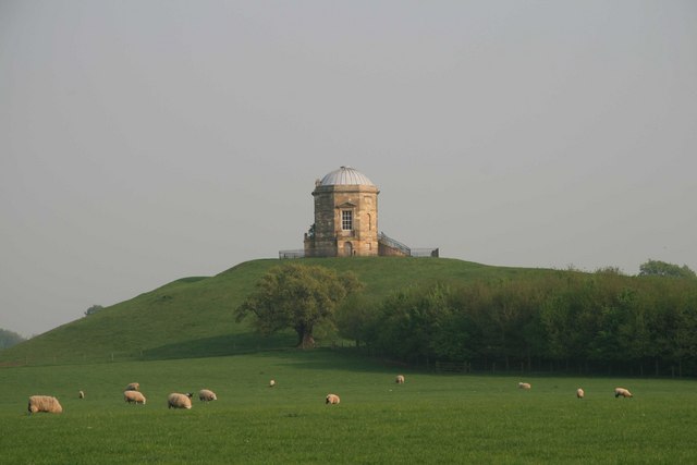
The hill is characterized by its rolling green slopes, covered in lush vegetation and dotted with scattered trees. Its distinctive shape and prominent position make it a recognizable landmark in the area. The summit of Clareton Hill provides a vantage point from which visitors can admire the picturesque valleys, meandering rivers, and picturesque villages that stretch out below.
Hikers and nature enthusiasts are drawn to Clareton Hill due to its well-maintained footpaths and trails, which offer opportunities for exploration and outdoor recreation. The hill is also home to a diverse range of plant and animal species, making it an ideal destination for wildlife enthusiasts and birdwatchers.
The surrounding area of Clareton Hill is rich in history and culture. Nearby villages feature traditional stone-built houses and historic landmarks, providing a glimpse into the region's past. Additionally, the hill is within close proximity to popular tourist attractions such as Whitby Abbey and the coastal town of Scarborough.
Clareton Hill, with its scenic beauty and natural charm, stands as a testament to the stunning landscapes that Yorkshire has to offer. Whether it's for leisurely walks, breathtaking views, or a deeper connection with nature, Clareton Hill is a must-visit destination for those exploring the Yorkshire countryside.
If you have any feedback on the listing, please let us know in the comments section below.
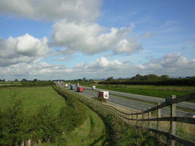
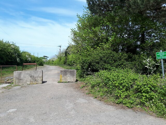
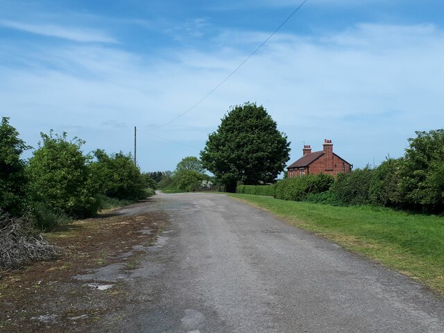
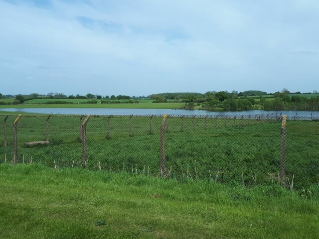
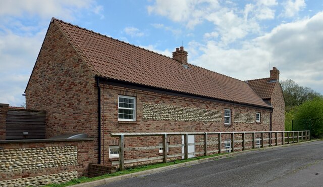
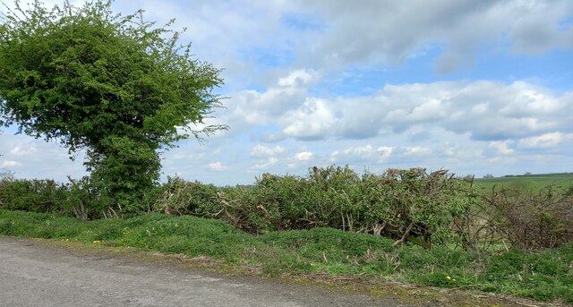
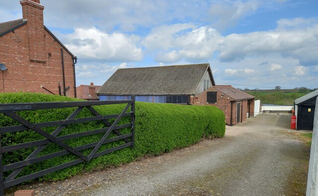
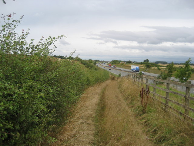
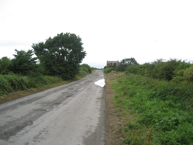
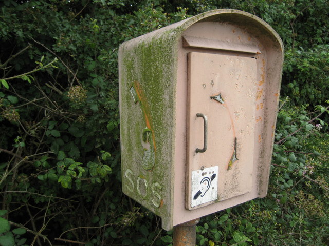
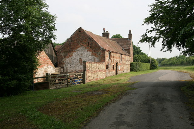
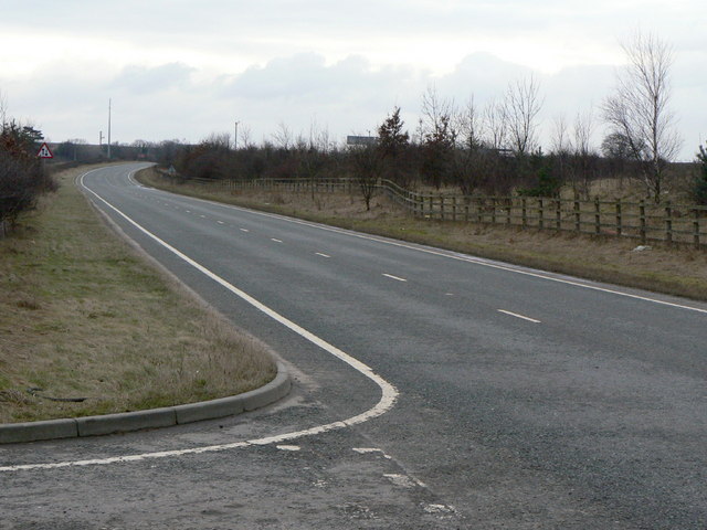
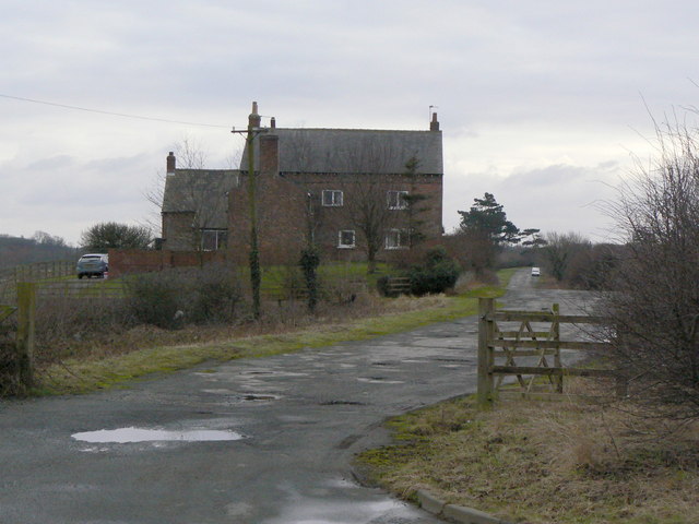
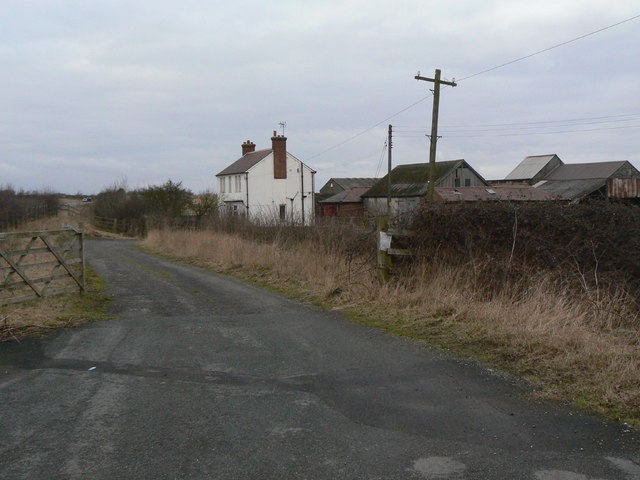
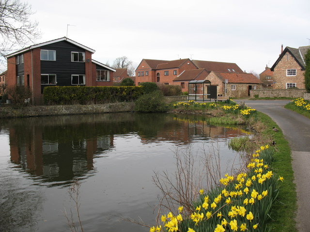
Clareton Hill Images
Images are sourced within 2km of 54.029311/-1.4021021 or Grid Reference SE3959. Thanks to Geograph Open Source API. All images are credited.

Clareton Hill is located at Grid Ref: SE3959 (Lat: 54.029311, Lng: -1.4021021)
Division: West Riding
Administrative County: North Yorkshire
District: Harrogate
Police Authority: North Yorkshire
What 3 Words
///fallback.puppy.enchanted. Near Knaresborough, North Yorkshire
Nearby Locations
Related Wikis

Allerton waste recovery park
Allerton waste recovery park is a waste recovery and incineration site located on a former quarry at Allerton Mauleverer, near Knaresborough, England....

Flaxby
Flaxby is a village and civil parish in the Harrogate district of North Yorkshire, England. It is close to the A1(M) motorway and 2 miles (3.2 km) east...

Arkendale
Arkendale is a village and civil parish in the Harrogate district of North Yorkshire, England. It is 6 miles (10 km) north-east of Harrogate town, and...
Ferrensby
Ferrensby is a village and civil parish in the Harrogate district of North Yorkshire, England. The population of the civil parish at the 2011 census was...

Coneythorpe
Coneythorpe is a village in the civil parish of Coneythorpe and Clareton, in North Yorkshire, England. It is situated less than 1 mile (1.6 km) west from...
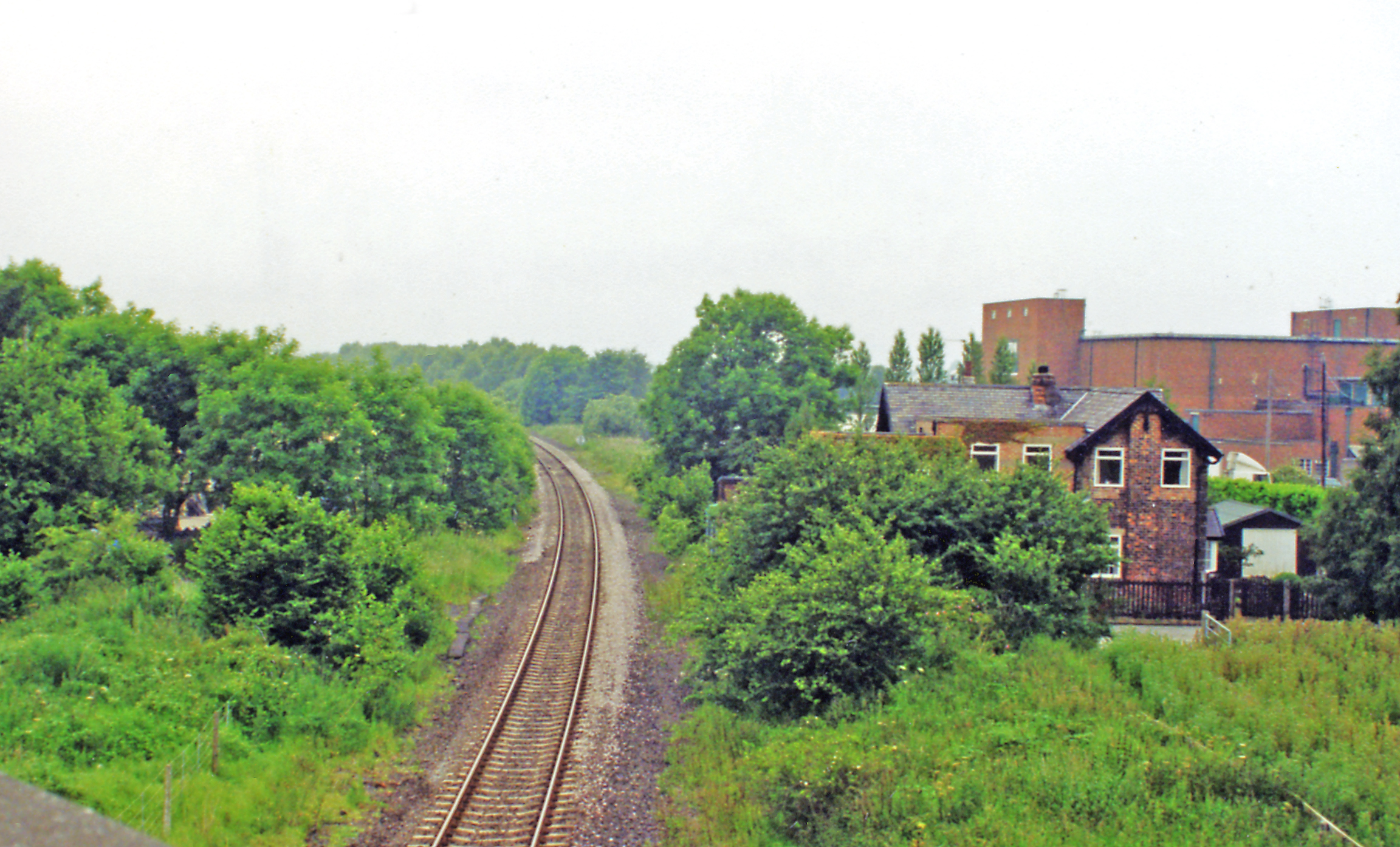
Goldsborough railway station
Goldsborough railway station served the village of Goldsborough, North Yorkshire, England from 1850 to 1965 on the Harrogate line. The station was over...

Allerton Castle
Allerton Castle, also known as Allerton Park, is a Grade I listed nineteenth-century Gothic or Victorian Gothic house at Allerton Mauleverer in North Yorkshire...

Allerton Mauleverer
Allerton Mauleverer is a village in North Yorkshire, England. It is part of the Allerton Mauleverer with Hopperton parish. The parish is in the district...
Nearby Amenities
Located within 500m of 54.029311,-1.4021021Have you been to Clareton Hill?
Leave your review of Clareton Hill below (or comments, questions and feedback).