Big Clump
Wood, Forest in Somerset Mendip
England
Big Clump

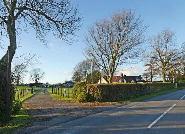
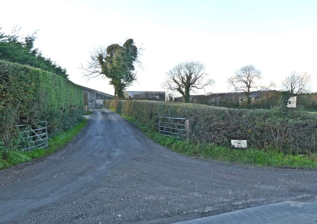
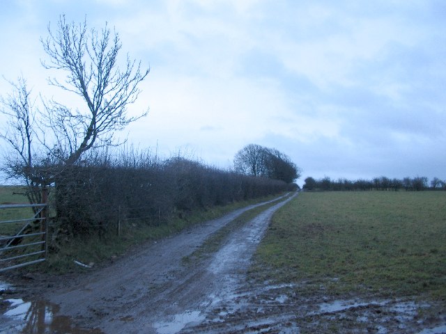
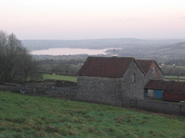
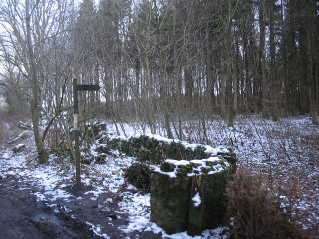
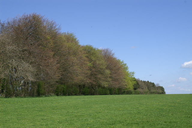
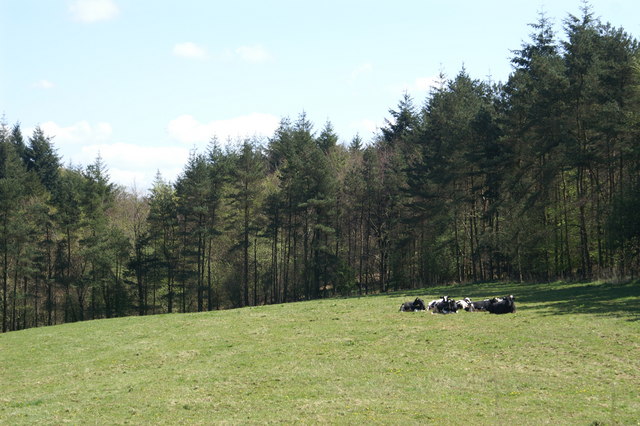
Big Clump is a picturesque woodland area located in Somerset, England. Nestled in the heart of the county, this forest is a haven for nature enthusiasts and those seeking tranquility away from the bustling city life. The woodland covers an expansive area, spanning several acres and is predominantly characterized by its dense tree cover and vibrant flora.
The forest is home to a diverse range of tree species, including oak, beech, ash, and birch. These towering trees create a captivating canopy overhead, providing shade and shelter to the various wildlife that call Big Clump their home. The forest floor is adorned with an array of wildflowers, mosses, and ferns, adding to its natural beauty.
Big Clump is not only a visual delight, but it also offers a rich habitat for numerous animal species. Visitors may catch a glimpse of deer, foxes, badgers, and rabbits as they explore the trails that wind through the forest. The area is also known for its birdlife, with species such as woodpeckers, owls, and various songbirds frequently spotted amongst the treetops.
For outdoor enthusiasts, Big Clump offers a plethora of recreational activities. Hiking trails crisscross the woodland, providing opportunities for leisurely walks or more challenging treks. The forest is also popular among cyclists and horse riders, with designated paths catering to these activities.
Overall, Big Clump in Somerset is a captivating woodland retreat that offers a delightful escape into nature. With its diverse flora and fauna, it provides a serene and breathtaking experience for all who venture into its depths.
If you have any feedback on the listing, please let us know in the comments section below.
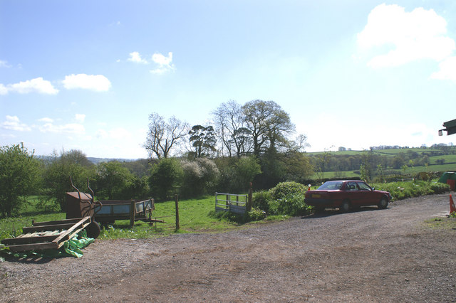
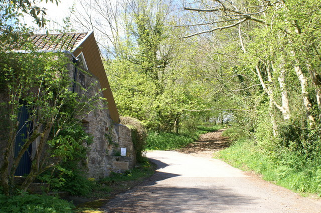
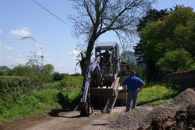
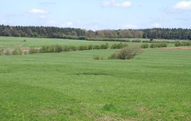
Big Clump Images
Images are sourced within 2km of 51.28085/-2.6353195 or Grid Reference ST5553. Thanks to Geograph Open Source API. All images are credited.


Big Clump is located at Grid Ref: ST5553 (Lat: 51.28085, Lng: -2.6353195)
Administrative County: Somerset
District: Mendip
Police Authority: Avon and Somerset
What 3 Words
///habits.toads.topping. Near East Harptree, Somerset
Nearby Locations
Related Wikis

Smitham Chimney, East Harptree
Smitham Chimney is a chimney which was used for lead mining just outside the village of East Harptree, in the parish of Priddy, Somerset, England. It is...

Wurt Pit and Devil's Punchbowl
Wurt Pit and Devil's Punchbowl (grid reference ST543537) is a 0.2 hectare (0.5 acre) geological Site of Special Scientific Interest between East Harptree...

Lamb Leer
Lamb Leer (grid reference ST544550) is a 14.59 hectare (36.04 acre) geological Site of Special Scientific Interest between East Harptree and Priddy in...
Attborough Swallet
Attborough Swallet (also known as Red Quar Swallet) is a cave in Chewton Mendip in Somerset, England. It is unusual for a cave on the Mendip Hills in that...
Priddy Circles
Priddy Circles are a linear arrangement of four circular earthwork enclosures near the village of Priddy on the Mendip Hills in Somerset, England. The...

Harptree Combe
Harptree Combe (grid reference ST561558) is a 13.63-hectare (33.68-acre) Site of Special Scientific Interest (SSSI) near East Harptree notified in 1954...

Richmont Castle
Richmont Castle was an 11th-century motte-and-bailey castle near the village of East Harptree, Somerset, England. Now totally ruined, it once included...

Eastwood Manor
Eastwood Manor is a Grade II listed building in the village of East Harptree in the English County of Somerset. == History == A house was built at Eastwood...
Nearby Amenities
Located within 500m of 51.28085,-2.6353195Have you been to Big Clump?
Leave your review of Big Clump below (or comments, questions and feedback).