Ash Beds

Wood, Forest in Herefordshire

England

Ash Beds

The  Cross Keys Inn On the A465 at Cross Keys
The Cross Keys Inn Credit: Eirian Evans

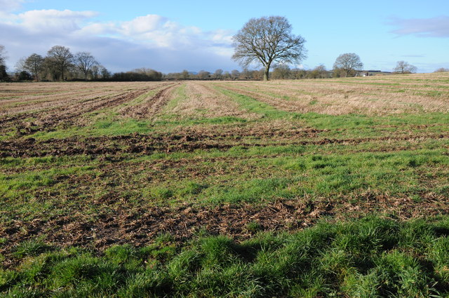
Ash Beds, located in Herefordshire, England, is a captivating wood known for its dense population of ash trees. It forms part of the larger Forest of Dean, a historic woodland that covers an extensive area of over 42 square miles. Ash Beds, in particular, is renowned for its stunning natural beauty and serene atmosphere.

The wood is characterized by its rich biodiversity, providing a habitat for numerous flora and fauna species. The towering ash trees dominate the landscape, their slender trunks reaching towards the sky and creating a dense canopy that filters sunlight, casting dappled shadows on the forest floor. The wood is also home to a variety of other tree species, such as oak, beech, and birch, adding to the diversity of the woodland.

Walking through Ash Beds, one can expect to encounter a diverse range of wildlife. The wood is teeming with birdlife, offering an opportunity for birdwatchers to spot species like woodpeckers, owls, and various songbirds. Squirrels can be seen darting between the trees, while foxes and deer occasionally make appearances, adding to the enchanting atmosphere of the wood.

The wood is a popular destination for nature enthusiasts, hikers, and photographers who are drawn to its tranquil setting and natural beauty. Numerous walking trails meander through the wood, allowing visitors to explore its hidden corners and discover its secrets. The wood also offers picnic areas and benches, providing a perfect spot for visitors to relax and immerse themselves in the peaceful surroundings.

Overall, Ash Beds in Herefordshire is a captivating woodland that showcases the beauty of the natural world. Its lush vegetation, diverse wildlife, and serene atmosphere make it an ideal destination for those seeking a tranquil escape or an opportunity to connect with nature.

If you have any feedback on the listing, please let us know in the comments section below.

Ash Beds Images

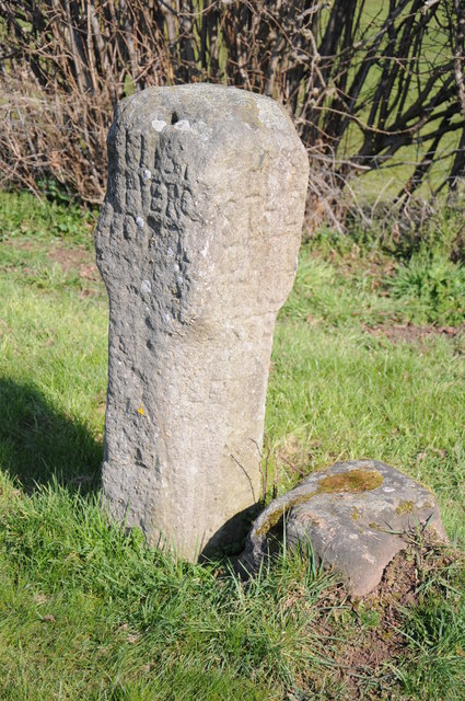
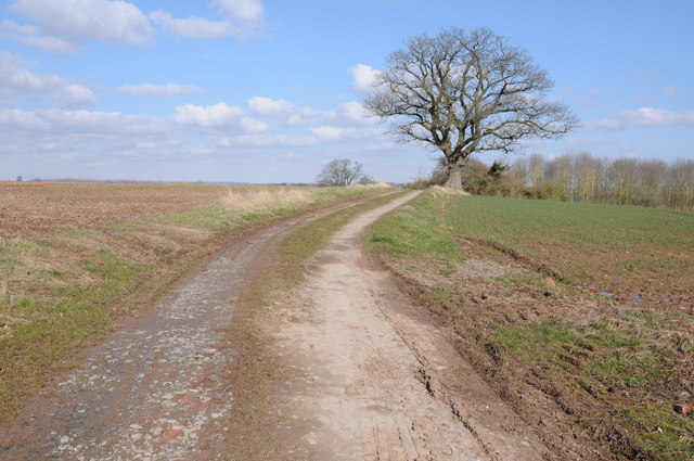
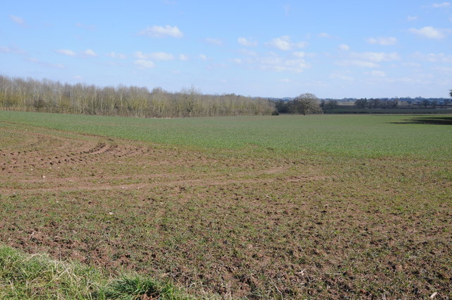
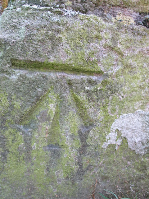
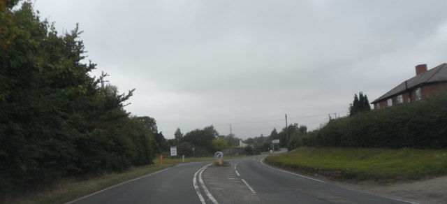
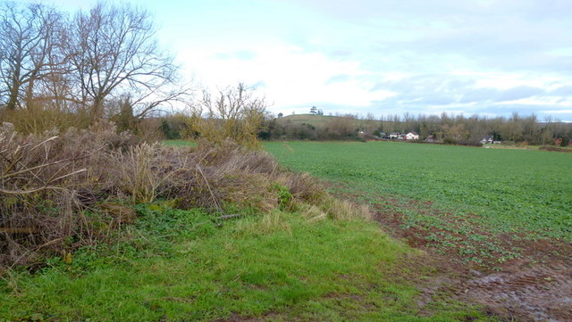
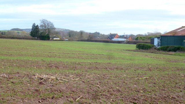
Images are sourced within 2km of 52.095606/-2.6468479 or Grid Reference SO5544. Thanks to Geograph Open Source API. All images are credited.

The  Cross Keys Inn On the A465 at Cross Keys
The Cross Keys Inn
On the A465 at Cross Keys
White Stone, Withington White Stone is on the side of the A4103 at Withington.  According to the British Listed Buildings website <span class="nowrap"><a title="http://www.britishlistedbuildings.co.uk/en-154169-the-white-stone-and-fragment-of-base-imm" rel="nofollow ugc noopener" href="http://www.britishlistedbuildings.co.uk/en-154169-the-white-stone-and-fragment-of-base-imm">Link</a><img style="margin-left:2px;" alt="External link" title="External link - shift click to open in new window" src="https://s1.geograph.org.uk/img/external.png" width="10" height="10"/></span> the inscribed shaft with base is believed to date from around 1700 though it is difficult to be precise.
White Stone, Withington
White Stone is on the side of the A4103 at Withington. According to the British Listed Buildings website LinkExternal link the inscribed shaft with base is believed to date from around 1700 though it is difficult to be precise.
View to Thing Hill View across a field north of Withington, the field has the appearance of a turf field.  The hill in the middle distance on the right has the curious name of Thing Hill.
View to Thing Hill
View across a field north of Withington, the field has the appearance of a turf field. The hill in the middle distance on the right has the curious name of Thing Hill.
Farmland and Thing Hill View across farmland to Thing Hill.
Farmland and Thing Hill
View across farmland to Thing Hill.
Stubble field at Preston Wynne Stubble field near the village of Preston Wynne.
Stubble field at Preston Wynne
Stubble field near the village of Preston Wynne.
Field headland Field headland and bridleway near Thing-hill Grange near Sutton St Nicholas.
Field headland
Field headland and bridleway near Thing-hill Grange near Sutton St Nicholas.
Field near Sutton St Nicholas View across a field near Sutton St Nicholas to Thing-hill Farm.
Field near Sutton St Nicholas
View across a field near Sutton St Nicholas to Thing-hill Farm.
St Peter, Withington The South side.
St Peter, Withington
The South side.
St Peter, Withington Interior, looking East.
St Peter, Withington
Interior, looking East.
White Stone, Withington White Stone is on the side of the A4103 at Withington.  According to the British Listed Buildings website <span class="nowrap"><a title="http://www.britishlistedbuildings.co.uk/en-154169-the-white-stone-and-fragment-of-base-imm" rel="nofollow ugc noopener" href="http://www.britishlistedbuildings.co.uk/en-154169-the-white-stone-and-fragment-of-base-imm">Link</a><img style="margin-left:2px;" alt="External link" title="External link - shift click to open in new window" src="https://s1.geograph.org.uk/img/external.png" width="10" height="10"/></span> the inscribed shaft with base is believed to date from around 1700 though it is difficult to be precise.
White Stone, Withington
White Stone is on the side of the A4103 at Withington. According to the British Listed Buildings website LinkExternal link the inscribed shaft with base is believed to date from around 1700 though it is difficult to be precise.
Withington Village Hall The parish of Withington in Herefordshire has a recently built new village Hall.
Withington Village Hall
The parish of Withington in Herefordshire has a recently built new village Hall.
Track and a tree Track passing through farmland and an oak tree near Dodmarsh.
Track and a tree
Track passing through farmland and an oak tree near Dodmarsh.
Arable field near Westhide Arable field with what appears to be a winter cereal.
Arable field near Westhide
Arable field with what appears to be a winter cereal.
Ordnance Survey Cut Mark This OS cut mark can be found on the west face of a buttress on St Peter's Church. It marks a point 74.785m above mean sea level.
Ordnance Survey Cut Mark
This OS cut mark can be found on the west face of a buttress on St Peter's Church. It marks a point 74.785m above mean sea level.
Entering White Stone
Withington Marsh and Thing Hill View north from Veldo Lane.
Withington Marsh and Thing Hill
View north from Veldo Lane.
Withington farmland Traffic on the A4103 Worcester Road can be seen.
Withington farmland
Traffic on the A4103 Worcester Road can be seen.
Show me another place!

Ash Beds is located at Grid Ref: SO5544 (Lat: 52.095606, Lng: -2.6468479)

Unitary Authority: County of Herefordshire

Police Authority: West Mercia

What 3 Words

///spotted.thrashing.waxer. Near Withington, Herefordshire

Nearby Locations

Ash Beds

Related Wikis

Withington, Herefordshire

Withington is a village and civil parish in Herefordshire, England, about 5 miles (8 km) north-east of Hereford at grid reference SO563431. == History... ==

Preston Wynne

Preston Wynne is a small village and civil parish in Herefordshire, England. Civil parish population at the 2011 census was 172. Preston Wynne is 5 miles...

Withington railway station (Herefordshire)

Withington railway station was a station in Withington, Herefordshire, England. The station was opened in 1861 and closed in 1961 == References == ��2...

Ocle Priory

Ocle Priory was a priory near Ocle Pychard in Herefordshire, England at grid reference SO577464. It was a dependency of Lyre Abbey in Normandy and as such...

Nearby Amenities

Located within 500m of 52.095606,-2.6468479
Withington Car Sales
Shop: car
Lat/Long: 52.097183/-2.6530824
Telephone
Booth: K6
Covered: booth
Operator: BT
Phone: +44 1432 820603
Lat/Long: 52.0959863/-2.6534019
Post Box
Post Box Type: lamp
Lat/Long: 52.0960021/-2.6533927
Power: pole
Lat/Long: 52.0949998/-2.6401006
Location Transition: yes
Power: pole
Lat/Long: 52.0951278/-2.640997
Withington Marsh
Place: village
Source: OS_OpenData_StreetView
Lat/Long: 52.0967313/-2.6519441
Norcroft
Power: pole
Transformer: distribution
Voltage Primary: 11000
Lat/Long: 52.0911694/-2.6462962
The data included in this document is from www.openstreetmap.org. The data is made available under ODbL.

Have you been to Ash Beds?

Leave your review of Ash Beds below (or comments, questions and feedback).