Boundary Wood
Wood, Forest in Lancashire Preston
England
Boundary Wood

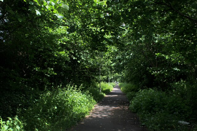
Boundary Wood is a picturesque woodland located in Lancashire, England. Covering an area of approximately 50 acres, this enchanting forest is nestled within the rural landscape, offering a tranquil retreat for nature lovers and outdoor enthusiasts alike.
The wood is characterized by its dense canopy of towering trees, predominantly consisting of oak, beech, and birch. These majestic giants provide a haven for a diverse range of flora and fauna, creating a thriving ecosystem within the wood. The forest floor is adorned with a carpet of lush green vegetation, including ferns, bluebells, and wild garlic, adding to the area's natural beauty.
Boundary Wood boasts a network of well-maintained footpaths, enabling visitors to explore the wood and discover its hidden treasures. These trails wind through the forest, leading to scenic viewpoints, babbling brooks, and peaceful clearings, perfect for picnics or simply immersing oneself in the serene surroundings.
The wood is home to an array of wildlife, making it a popular spot for birdwatching and wildlife spotting. Visitors may catch a glimpse of native species such as deer, foxes, badgers, and a variety of bird species, including woodpeckers and owls.
Due to its rural location, Boundary Wood offers a respite from the hustle and bustle of everyday life. Whether for a peaceful walk, a family outing, or a nature photography expedition, this Lancashire gem provides a unique opportunity to reconnect with nature and enjoy the tranquility of the great outdoors.
If you have any feedback on the listing, please let us know in the comments section below.
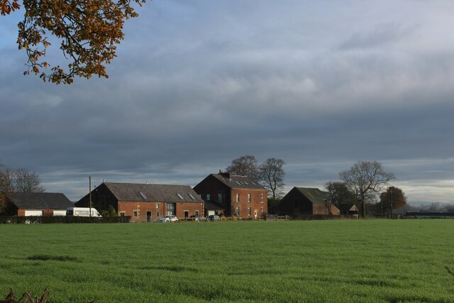
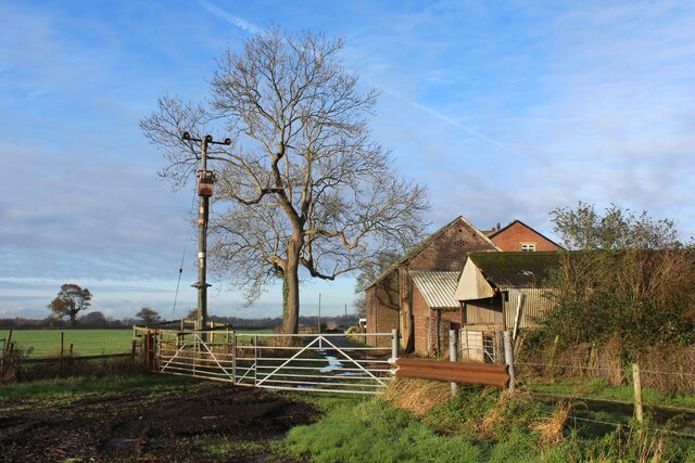
Boundary Wood Images
Images are sourced within 2km of 53.796591/-2.6728169 or Grid Reference SD5533. Thanks to Geograph Open Source API. All images are credited.


Boundary Wood is located at Grid Ref: SD5533 (Lat: 53.796591, Lng: -2.6728169)
Administrative County: Lancashire
District: Preston
Police Authority: Lancashire
What 3 Words
///united.choice.cycle. Near Goosnargh, Lancashire
Nearby Locations
Related Wikis

St Mary's Church, Fernyhalgh
St Mary's Church is in Fernyhalgh Lane, Broughton, Lancashire, England. It is a Roman Catholic church located near the shrine at Ladyewell House. The church...

Fernyhalgh Wood
Fernyhalgh Wood () is a woodland in Fulwood, Preston, Lancashire, England. It covers a total area of 4.58 hectares (11.32 acres). It is owned and managed...

Haighton
Haighton is a civil parish in the City of Preston, Lancashire, England. It is a rural area north east of the urban city of Preston, beyond Fulwood and...
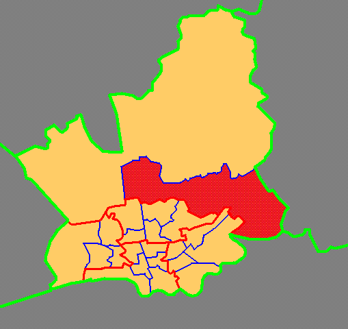
Brookfield, Preston
Brookfield is an electoral ward of the city of Preston, in Lancashire, England. It is located north-east of the city centre, in the suburb of Ribbleton...
Ribbleton railway station
Ribbleton railway station was on the Preston and Longridge Railway in Ribbleton, a suburb of Preston, Lancashire, England. When the station opened in 1854...
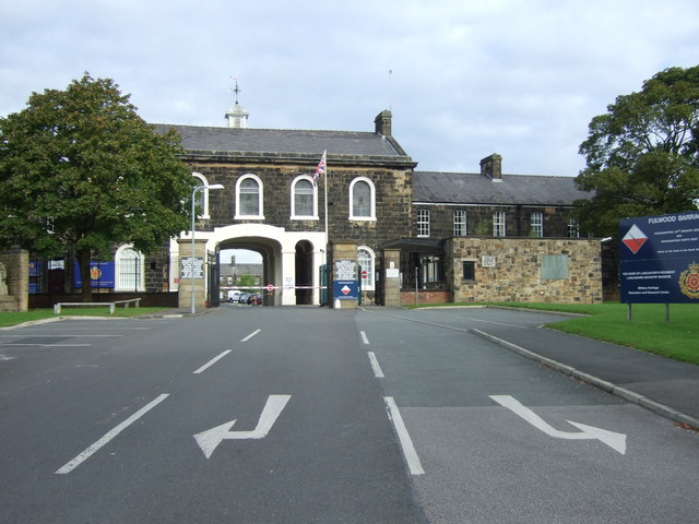
Lancashire Infantry Museum
The Lancashire Infantry Museum, formerly known as the Queen's Lancashire Regiment Museum, is located at Fulwood Barracks in Preston, Lancashire, England...
Sharoe Green
Sharoe Green () is a largely residential suburban area of Preston, Lancashire, England, and an electoral ward. It is nowadays usually considered to be...
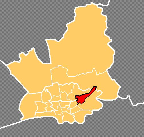
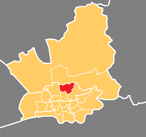
Preston Rural East
Preston Rural East is an electoral ward in the City of Preston, Lancashire, England. The ward is in the eastern and northeastern part of the city near...
Nearby Amenities
Located within 500m of 53.796591,-2.6728169Have you been to Boundary Wood?
Leave your review of Boundary Wood below (or comments, questions and feedback).