Fulwood Row
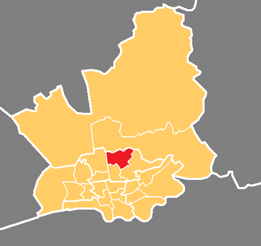
Settlement in Lancashire Preston
England
Fulwood Row

Fulwood Row is a small village located in the county of Lancashire, England. It is nestled within the beautiful countryside and is surrounded by lush green fields and rolling hills. The village is part of the larger civil parish of Fulwood, which also includes several adjacent hamlets.
Fulwood Row is known for its picturesque setting and tranquil atmosphere. The village is characterized by its charming cottages, many of which date back several centuries. The architecture reflects the traditional style of the region, with stone walls and thatched roofs.
Despite its small size, Fulwood Row has a close-knit community that takes pride in preserving the village's rich history. There is a local community center that serves as a hub for various social activities and events, bringing residents together.
The village is also well-served by amenities such as a village shop, post office, and a local pub. These establishments provide essential services and act as meeting points for villagers to socialize and catch up.
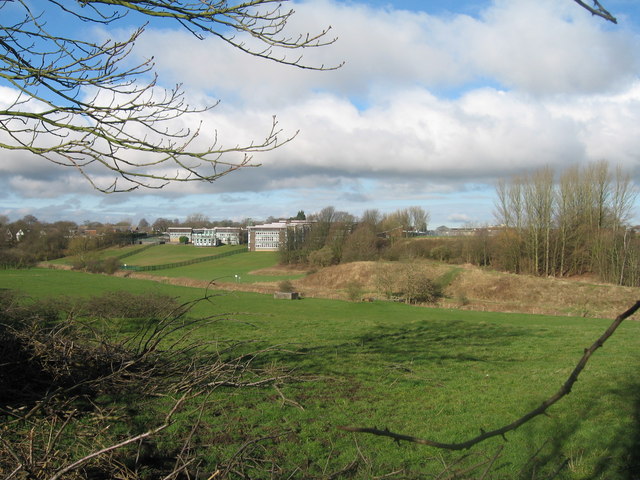
Fulwood Row is surrounded by stunning natural beauty, making it popular with outdoor enthusiasts. The countryside offers numerous walking trails and cycling routes, allowing residents and visitors to explore the area's idyllic surroundings.
Overall, Fulwood Row is a charming and serene village that offers a peaceful retreat from the hustle and bustle of city life. Its picturesque setting, close-knit community, and access to nature make it an attractive place to live or visit for those seeking a slower pace of life.
If you have any feedback on the listing, please let us know in the comments section below.
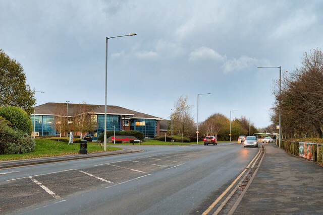
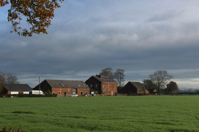
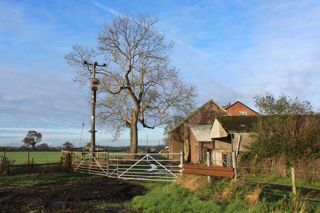
Fulwood Row Images
Images are sourced within 2km of 53.794308/-2.6823594 or Grid Reference SD5533. Thanks to Geograph Open Source API. All images are credited.


Fulwood Row is located at Grid Ref: SD5533 (Lat: 53.794308, Lng: -2.6823594)
Administrative County: Lancashire
District: Preston
Police Authority: Lancashire
What 3 Words
///lakes.aside.early. Near Goosnargh, Lancashire
Nearby Locations
Related Wikis

Fernyhalgh Wood
Fernyhalgh Wood () is a woodland in Fulwood, Preston, Lancashire, England. It covers a total area of 4.58 hectares (11.32 acres). It is owned and managed...
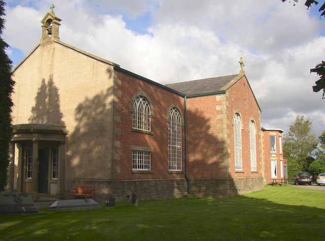
St Mary's Church, Fernyhalgh
St Mary's Church is in Fernyhalgh Lane, Broughton, Lancashire, England. It is a Roman Catholic church located near the shrine at Ladyewell House. The church...
Sharoe Green
Sharoe Green () is a largely residential suburban area of Preston, Lancashire, England, and an electoral ward. It is nowadays usually considered to be...
Royal Preston Hospital
The Royal Preston Hospital or RPH, is an acute general hospital in Preston, Lancashire, England. It is managed by the Lancashire Teaching Hospitals NHS...
Preston College
Preston College is a further education college in the city of Preston, Lancashire, England. The college originally opened as W. R. Tuson College in September...
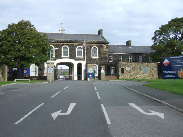
Lancashire Infantry Museum
The Lancashire Infantry Museum, formerly known as the Queen's Lancashire Regiment Museum, is located at Fulwood Barracks in Preston, Lancashire, England...
Archbishop Temple School
Archbishop Temple Church of England High School is a voluntary aided Church of England secondary school, situated in the city of Preston in Lancashire...
Brookfield, Preston
Brookfield is an electoral ward of the city of Preston, in Lancashire, England. It is located north-east of the city centre, in the suburb of Ribbleton...
Nearby Amenities
Located within 500m of 53.794308,-2.6823594Have you been to Fulwood Row?
Leave your review of Fulwood Row below (or comments, questions and feedback).