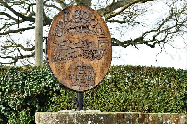
Fundenhall
Settlement in Norfolk South Norfolk
England
Fundenhall
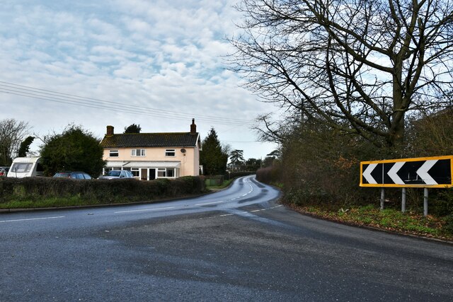
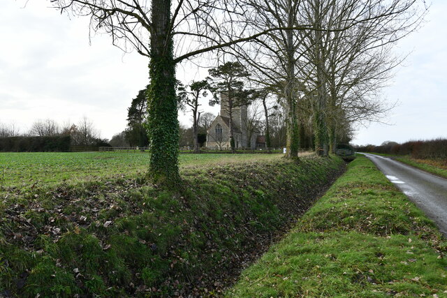
Fundenhall is a small village located in the county of Norfolk, England. It is situated approximately 10 miles south-west of Norwich, the county's administrative center. The village is nestled in a picturesque rural setting, surrounded by scenic countryside and farmland.
Despite its small size, Fundenhall boasts a rich history, with evidence of human habitation in the area dating back to the Roman times. The village is mentioned in the Domesday Book of 1086, highlighting its significance even in medieval times. The name "Fundenhall" is believed to have originated from the Old English words "fundan," meaning foundation, and "halh," meaning nook or corner, suggesting its geographical location.
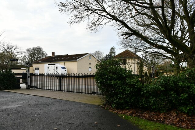
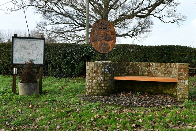
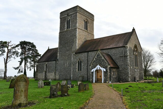
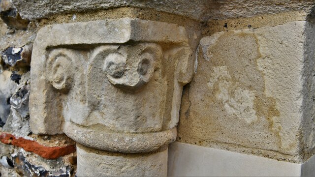
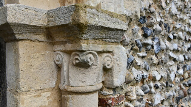
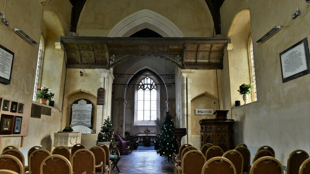
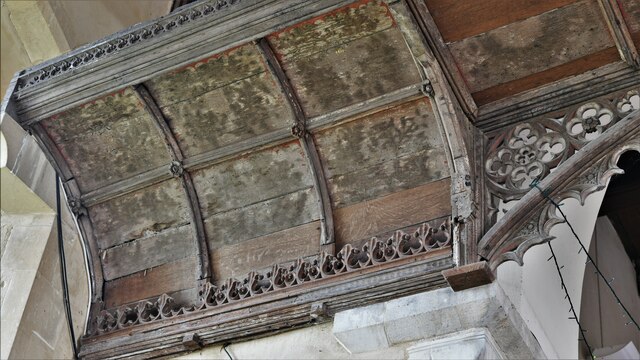
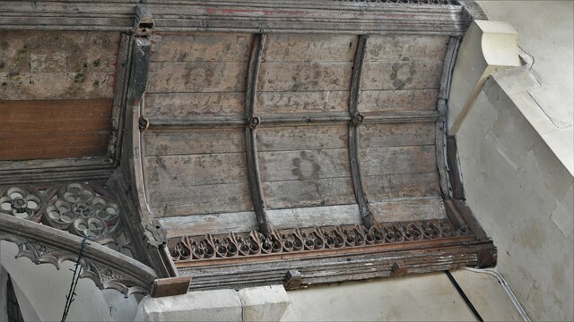
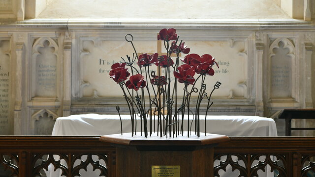
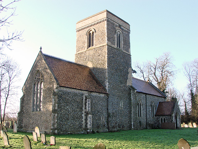
Today, Fundenhall retains its rural charm and peaceful atmosphere. The village is characterized by a mix of traditional thatched cottages and more modern houses, creating a diverse architectural landscape. The village church, St. Nicholas, is a prominent feature and dates back to the 14th century. It is known for its beautiful stained glass windows and intricate stonework.
Fundenhall offers a close-knit community feel, with various community events and activities taking place throughout the year. The village also benefits from its proximity to Norwich, providing residents with easy access to a range of amenities and services.
In summary, Fundenhall is a small, rural village in Norfolk with a fascinating history and a strong sense of community. Its picturesque surroundings and proximity to Norwich make it an attractive place to live or visit for those seeking a tranquil countryside experience.
If you have any feedback on the listing, please let us know in the comments section below.
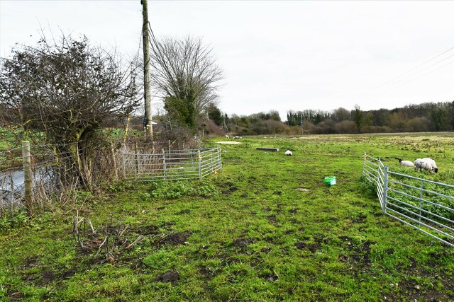
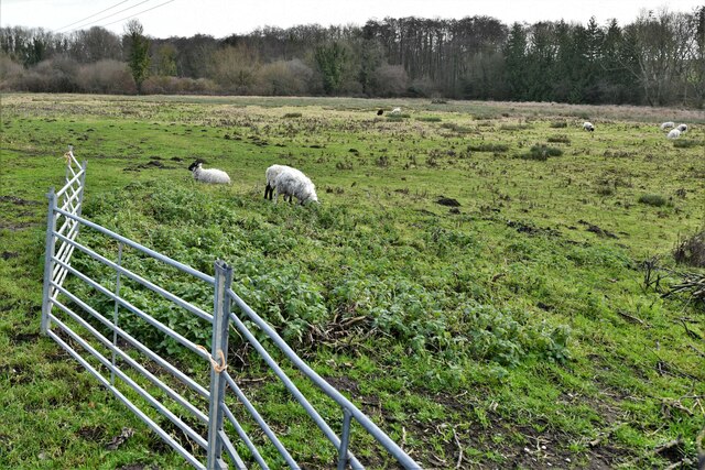
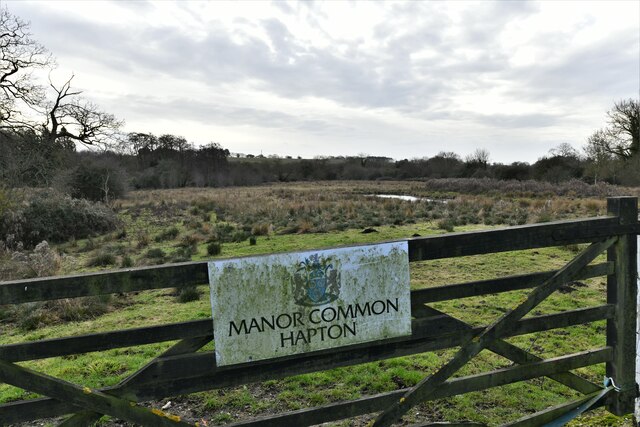
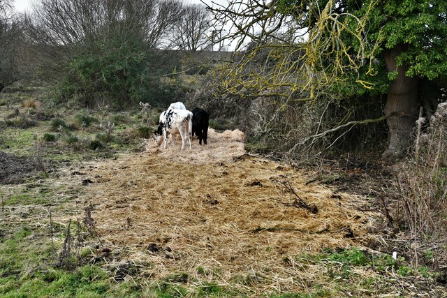
Fundenhall Images
Images are sourced within 2km of 52.528297/1.1794508 or Grid Reference TM1597. Thanks to Geograph Open Source API. All images are credited.


Fundenhall is located at Grid Ref: TM1597 (Lat: 52.528297, Lng: 1.1794508)
Administrative County: Norfolk
District: South Norfolk
Police Authority: Norfolk
What 3 Words
///shiny.signal.claw. Near Hethel, Norfolk
Nearby Locations
Related Wikis
Ashwellthorpe and Fundenhall
Ashwellthorpe and Fundenhall is a civil parish in the English county of Norfolk, situated some 6 km south-east of Wymondham and 20 km south-west of Norwich...
Ashwellthorpe railway station
Ashwellthorpe was a railway station that existed in the village of Ashwellthorpe, Norfolk, on a cutoff line between Forncett and Wymondham. This entry...

Wreningham
Wreningham is a village and civil parish in the English county of Norfolk. It is situated some 3 miles (4.8 km) south east of Wymondham and 9 miles (14...
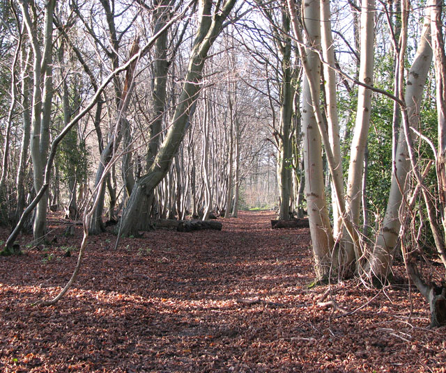
Lower Wood, Ashwellthorpe
Lower Wood, Ashwellthorpe is a 37.9-hectare (94-acre) biological Site of Special Scientific Interest south-east of Wymondham in Norfolk. It is managed...
Nearby Amenities
Located within 500m of 52.528297,1.1794508Have you been to Fundenhall?
Leave your review of Fundenhall below (or comments, questions and feedback).