Aqueduct

Settlement in Shropshire

England

Aqueduct

Holmer Lake from the A442, Queenway
Holmer Lake from the A442, Queenway Credit: Ian S

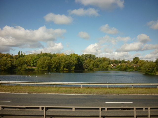
Aqueduct is a small village located in the county of Shropshire, England. Situated near the town of Telford, it lies approximately 3 miles southeast of the town center. The village gets its name from the nearby aqueduct that carries the Shropshire Union Canal over the River Tern.

Despite its small size, Aqueduct has a rich history. It was originally developed as part of the Telford New Town expansion project in the 1960s. The construction of the aqueduct was a crucial element in connecting the new town with the canal network, allowing for the transportation of goods and providing a picturesque setting for leisure activities such as boating and fishing.

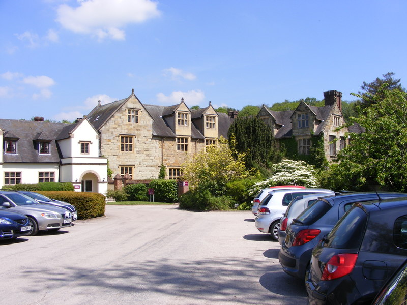
Today, Aqueduct is a quaint residential area with a mix of housing, including both modern developments and older properties. The village is home to a close-knit community, offering a range of amenities for its residents. These include a local primary school, community center, and several shops serving everyday needs.

Nature enthusiasts can take advantage of the village's proximity to beautiful countryside and the Telford Town Park, a large green space located just a short distance away. The park offers a variety of recreational activities, including walking trails, cycling routes, and a boating lake.

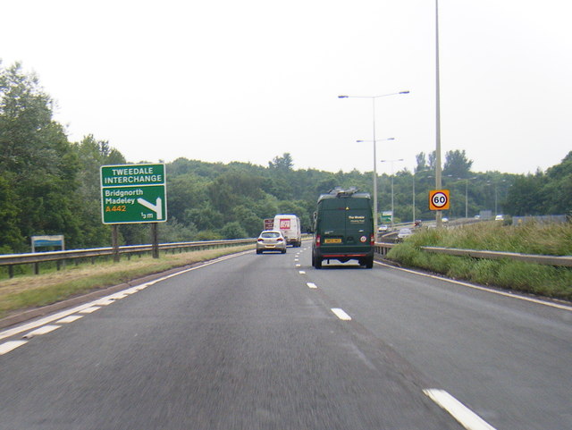
Aqueduct's convenient location allows for easy access to nearby towns and cities, making it an attractive place to live for commuters. With its charming atmosphere, historical significance, and access to natural beauty, Aqueduct offers a pleasant and desirable place to call home within the picturesque county of Shropshire.

If you have any feedback on the listing, please let us know in the comments section below.

Aqueduct Images

Images are sourced within 2km of 52.648743/-2.460398 or Grid Reference SJ6805. Thanks to Geograph Open Source API. All images are credited.

Holmer Lake from the A442, Queenway
A442 nears Tweedale Interchange
A4169 Serves the industrial estates at Halesfield.
A4169
Serves the industrial estates at Halesfield.
Car Park
Car Park
Forester's Arms A pub seen from the Silkin Way at the east end of Madeley High Street.
Forester's Arms
A pub seen from the Silkin Way at the east end of Madeley High Street.
Stirchley Chimney An iconic landmark, this chimney provides a permanent reminder of the industry that once covered the whole area of the Town Park.
Constructed of Randley brick in 1873 by the Old Park Iron Co., the chimney is approximately 209 feet (64 metres) high.
Stirchley Chimney
An iconic landmark, this chimney provides a permanent reminder of the industry that once covered the whole area of the Town Park. Constructed of Randley brick in 1873 by the Old Park Iron Co., the chimney is approximately 209 feet (64 metres) high.
Dawley High St This image was taken during the late afternoon, early evening during mid-week. During 2010 and 2011 the outgoing (Tory) council spent tens if not hundreds of thousands of Council Tax payers Pounds sterling on bringing life back to the town centre. This seems to be the result - typical. Or is it a case of the law of unintended consequences.
Dawley High St
This image was taken during the late afternoon, early evening during mid-week. During 2010 and 2011 the outgoing (Tory) council spent tens if not hundreds of thousands of Council Tax payers Pounds sterling on bringing life back to the town centre. This seems to be the result - typical. Or is it a case of the law of unintended consequences.
St Michael's Church
St Michael's Church
St Michael's Church from the graveyard
Church of the Holy Trinity The sandstone church of the Holy Trinity in Dawley was built 1845 and was designed by Harvey Eginton of Worcester. It replaced Dawley's old Norman church which stood a little to the south-east of the present church. The earliest part of the church is probably its font, which dates back to the Norman period (12th-century).
Church of the Holy Trinity
The sandstone church of the Holy Trinity in Dawley was built 1845 and was designed by Harvey Eginton of Worcester. It replaced Dawley's old Norman church which stood a little to the south-east of the present church. The earliest part of the church is probably its font, which dates back to the Norman period (12th-century).
Church of the Holy Trinity
The Beacon, Madeley
The Beacon, Madeley
St James, Stirchley
St James, Stirchley
Gate House The view of Madeley Court Gate House, the main 16th century manor house building is now an Hotel.
Gate House
The view of Madeley Court Gate House, the main 16th century manor house building is now an Hotel.
Madeley Court Car Park View The view of Madeley Court an 16th century manor house, the main building is now a hotel.
Madeley Court Car Park View
The view of Madeley Court an 16th century manor house, the main building is now a hotel.
Court Lake The view in the grounds of Madeley Court an 16th century manor house, the main building is now an Hotel.
Court Lake
The view in the grounds of Madeley Court an 16th century manor house, the main building is now an Hotel.
Madeley Blue Plaque The view of plaque at Madeley Court an 16th century manor house, the main building is now an Hotel.
Madeley Blue Plaque
The view of plaque at Madeley Court an 16th century manor house, the main building is now an Hotel.
Madeley Footpath The view of the path alongside Madeley Court an 16th century manor house.
Madeley Footpath
The view of the path alongside Madeley Court an 16th century manor house.
Show me another place!

Aqueduct is located at Grid Ref: SJ6805 (Lat: 52.648743, Lng: -2.460398)

Unitary Authority: Telford and Wrekin

Police Authority: West Mercia

What 3 Words

///tilting.loosed.threading. Near Madeley, Shropshire

Related Wikis

Madeley Academy

Madeley Academy (formerly Madeley Court School) is a coeducational secondary school and sixth form located in Madeley in the English county of Shropshire...

Madeley Court

Madeley Court is a 16th-century country house in Madeley, Shropshire, England which was originally built as a grange to the medieval Wenlock Priory. It...
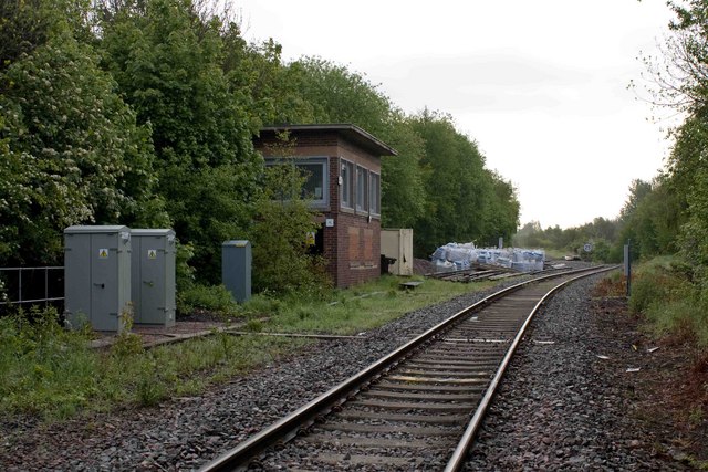
Lightmoor Junction

Lightmoor Junction was a railway junction between Ironbridge Power Station at Buildwas and Madeley Junction in Shropshire, England. From Lightmoor Junction...

Madeley railway station (Shropshire)

Madeley railway station (sometimes referred to as Madeley Salop railway station) is a disused railway station in Madeley, Shropshire, England. The station...

Dawley and Stirchley railway station

Dawley and Stirchley railway station was a station in Dawley, Shropshire, England. The station was opened in 1861 and closed in 1952. == References... ==

Doseley Halt railway station

Doseley Halt railway station was a station to the south of Horsehay, Shropshire, England. The station was opened in 1932 and closed in 1962. == References... ==

Dawley Hamlets

Dawley Hamlets is a civil parish in Telford and Wrekin, Shropshire, England.The parish covers Horsehay, Doseley, Little Dawley (also traditionally known...

Lightmoor Platform railway station

Lightmoor Platform railway station was a station to the east of Coalbrookdale, Shropshire, England. The station was opened in 1907 and closed in 1962....

Nearby Amenities

Located within 500m of 52.648743,-2.460398
Bus Stop
Bus: yes
Public Transport: platform
Lat/Long: 52.6511029/-2.4589144
Give Way
Direction: backward
Lat/Long: 52.6482814/-2.4612615
Give Way
Direction: backward
Lat/Long: 52.6513001/-2.4580854
Turning Circle
Lat/Long: 52.6524773/-2.4638041
Line Management: transition
Power: pole
Lat/Long: 52.6484367/-2.466389
Power: tower
Lat/Long: 52.6484401/-2.4677801
Line Management: transition
Power: pole
Lat/Long: 52.6485327/-2.466402
Cost Cutter
Shop: yes
Lat/Long: 52.6497458/-2.4600894
Majestic Stores
Addr City: Telford
Addr Housenumber: 26
Addr Postcode: TF4 3RA
Addr Street: Majestic Way
Addr Suburb: Aqueduct
Fhrs Id: 250120
Shop: convenience
Source Addr: FHRS Open Data
Lat/Long: 52.6510797/-2.4586082
Aqueduct
Place: suburb
Lat/Long: 52.6482856/-2.458108
Generator Method: photovoltaic
Generator Output Electricity: yes
Generator Source: solar
Generator Type: solar_photovoltaic_panel
Location: roof
Power: generator
Lat/Long: 52.6475681/-2.45711
Generator Method: photovoltaic
Generator Output Electricity: yes
Generator Source: solar
Generator Type: solar_photovoltaic_panel
Location: roof
Power: generator
Lat/Long: 52.6469839/-2.4594542
Generator Method: photovoltaic
Generator Output Electricity: yes
Generator Source: solar
Generator Type: solar_photovoltaic_panel
Location: roof
Power: generator
Lat/Long: 52.646678/-2.4594998
Generator Method: photovoltaic
Generator Output Electricity: yes
Generator Source: solar
Generator Type: solar_photovoltaic_panel
Location: roof
Power: generator
Lat/Long: 52.6468196/-2.4645853
Generator Method: photovoltaic
Generator Output Electricity: yes
Generator Source: solar
Generator Type: solar_photovoltaic_panel
Location: roof
Power: generator
Lat/Long: 52.6493012/-2.4623188
Generator Method: photovoltaic
Generator Output Electricity: yes
Generator Source: solar
Generator Type: solar_photovoltaic_panel
Location: roof
Power: generator
Lat/Long: 52.6494395/-2.4641427
Generator Method: photovoltaic
Generator Output Electricity: yes
Generator Source: solar
Generator Type: solar_photovoltaic_panel
Location: roof
Power: generator
Lat/Long: 52.649848/-2.4643573
Generator Method: photovoltaic
Generator Output Electricity: yes
Generator Source: solar
Generator Type: solar_photovoltaic_panel
Location: roof
Power: generator
Lat/Long: 52.6508097/-2.4556428
Generator Method: photovoltaic
Generator Output Electricity: yes
Generator Source: solar
Generator Type: solar_photovoltaic_panel
Location: roof
Power: generator
Lat/Long: 52.6505021/-2.4552539
Generator Method: photovoltaic
Generator Output Electricity: yes
Generator Source: solar
Generator Type: solar_photovoltaic_panel
Location: roof
Power: generator
Lat/Long: 52.6505282/-2.4546611
Generator Method: photovoltaic
Generator Output Electricity: yes
Generator Source: solar
Generator Type: solar_photovoltaic_panel
Location: roof
Power: generator
Lat/Long: 52.6502581/-2.454173
Generator Method: photovoltaic
Generator Output Electricity: yes
Generator Source: solar
Generator Type: solar_photovoltaic_panel
Location: roof
Power: generator
Lat/Long: 52.6502369/-2.454291
Power: pole
Lat/Long: 52.6459982/-2.4619252
Power: pole
Lat/Long: 52.6458693/-2.4645381
Power: pole
Lat/Long: 52.6461569/-2.4653974
Power: pole
Lat/Long: 52.6464119/-2.4661679
Power: pole
Lat/Long: 52.6459211/-2.4631514
Power: pole
Lat/Long: 52.6458508/-2.4605079
Power: pole
Lat/Long: 52.6457573/-2.4594782
Power: pole
Lat/Long: 52.6454754/-2.4588664
Power: pole
Lat/Long: 52.6451042/-2.4581122
Power: pole
Lat/Long: 52.6451963/-2.4573416
Power: pole
Lat/Long: 52.6453182/-2.4561811
Crossing
Crossing: unmarked
Crossing Island: yes
Tactile Paving: yes
Lat/Long: 52.6451628/-2.4629422
Crossing
Crossing: unmarked
Crossing Island: yes
Tactile Paving: yes
Lat/Long: 52.6450826/-2.462893
Crossing
Crossing: unmarked
Crossing Island: yes
Tactile Paving: yes
Lat/Long: 52.6456156/-2.4626323
Crossing
Crossing: unmarked
Crossing Island: yes
Tactile Paving: yes
Lat/Long: 52.6455596/-2.4627434
Barrier: kerb
Kerb: flush
Tactile Paving: yes
Lat/Long: 52.6472748/-2.4608615
Crossing
Crossing: unmarked
Crossing Island: yes
Crossing Markings: no
Tactile Paving: yes
Lat/Long: 52.6473023/-2.4609396
Crossing
Crossing: traffic_signals
Crossing Island: yes
Tactile Paving: yes
Lat/Long: 52.6490689/-2.4575159
Barrier: kerb
Kerb: flush
Tactile Paving: yes
Lat/Long: 52.6473353/-2.4610096
Give Way
Direction: forward
Lat/Long: 52.6481137/-2.4604253
Crossing
Crossing: unmarked
Crossing Markings: no
Lat/Long: 52.6488422/-2.457474
Give Way
Direction: backward
Lat/Long: 52.6489046/-2.4575625
Turning Circle
Lat/Long: 52.649213/-2.4642146
Crossing
Crossing: unmarked
Crossing Island: yes
Crossing Markings: no
Tactile Paving: yes
Lat/Long: 52.6523429/-2.4568967
Bus Stop
Bus: yes
Public Transport: platform
Lat/Long: 52.6520273/-2.4567857
Barrier: kerb
Kerb: flush
Tactile Paving: yes
Lat/Long: 52.6523417/-2.4569809
Bus Stop
Bus: yes
Public Transport: platform
Shelter: yes
Lat/Long: 52.6526651/-2.4570499
Give Way
Direction: forward
Lat/Long: 52.6512498/-2.4572091
Give Way
Direction: backward
Lat/Long: 52.6529246/-2.4590898
The data included in this document is from www.openstreetmap.org. The data is made available under ODbL.

Have you been to Aqueduct?

Leave your review of Aqueduct below (or comments, questions and feedback).