Apuldram
Settlement in Sussex Chichester
England
Apuldram
Apuldram is a small village located in the county of West Sussex, England. Situated approximately 3 miles south of the city of Chichester, Apuldram is nestled in a rural setting, surrounded by picturesque countryside and farmland. The village is part of the Chichester district and falls within the civil parish of Fishbourne.
Historically, Apuldram was known for its agricultural significance, with farming being a key industry in the area. However, in recent years, the village has evolved into a predominantly residential community, offering a peaceful and tranquil environment for its residents.
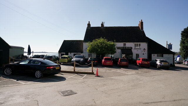
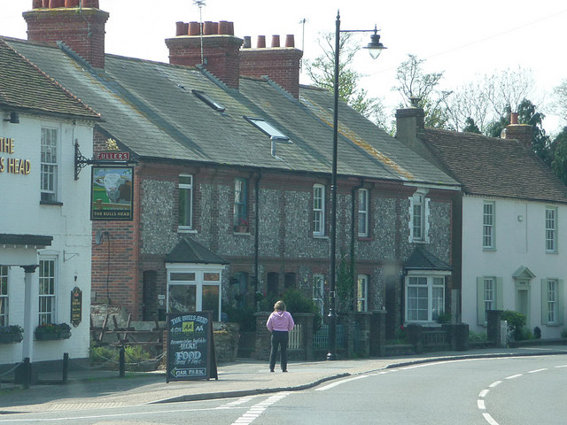
Apuldram is home to a number of charming cottages and houses, showcasing traditional English architecture. The village boasts a close-knit community, with a village hall serving as a hub for social gatherings and events. Additionally, Apuldram is fortunate to have a local pub, providing a gathering place for locals and visitors alike.
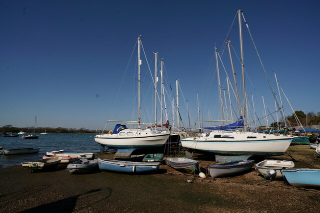
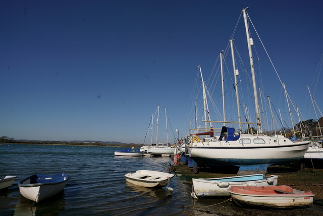
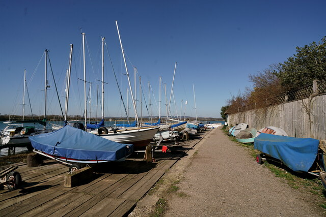
For those seeking outdoor activities, Apuldram offers several scenic walking routes, allowing residents to explore the beautiful surrounding countryside. The village is also in close proximity to the Chichester Harbour Area of Outstanding Natural Beauty, a haven for wildlife and a popular spot for sailing enthusiasts.
With its idyllic setting, rural charm, and convenient proximity to Chichester, Apuldram offers a peaceful retreat while still providing easy access to urban amenities.
If you have any feedback on the listing, please let us know in the comments section below.
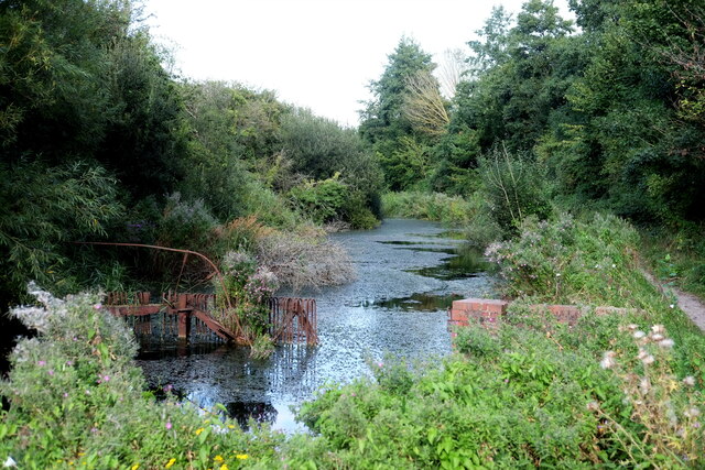
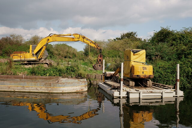
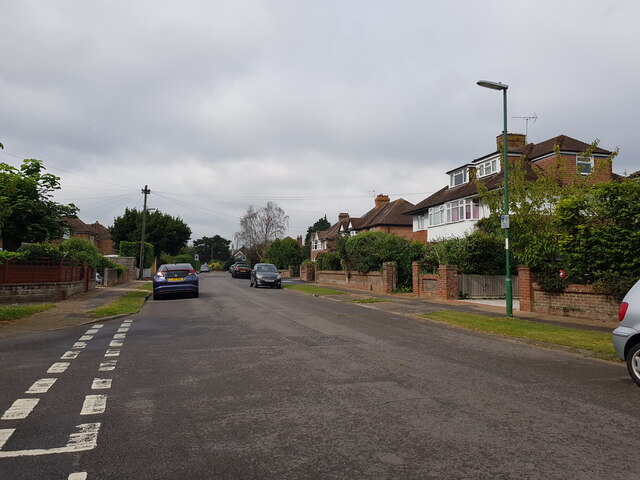
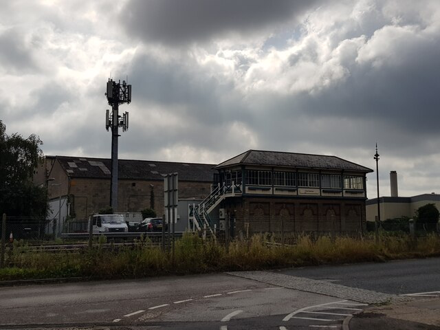
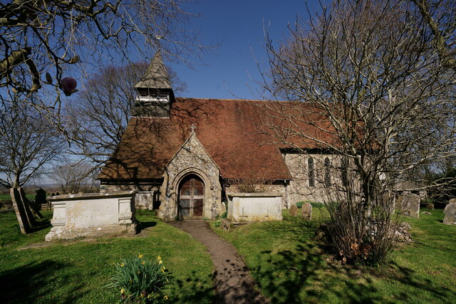
Apuldram Images
Images are sourced within 2km of 50.821774/-0.803024 or Grid Reference SU8403. Thanks to Geograph Open Source API. All images are credited.


Apuldram is located at Grid Ref: SU8403 (Lat: 50.821774, Lng: -0.803024)
Administrative County: West Sussex
District: Chichester
Police Authority: Sussex
What 3 Words
///novel.explored.springing. Near Chichester, West Sussex
Related Wikis

Apuldram
Apuldram or Appledram locally is a small parish and a village on the northeastern upper reach of Chichester Harbour about two miles (3 km) south-west...

River Lavant, West Sussex
The River Lavant is a winterbourne that rises at East Dean and flows west to Singleton, then south past West Dean and Lavant to Chichester. From east of...

RAF Appledram
RAF Appledram is a former Royal Air Force Advanced Landing Ground 2.3 miles (3.7 km) southwest of Chichester, West Sussex and 12.2 miles (19.6 km) east...

Donnington, West Sussex
Donnington is a small village, ecclesiastical parish and civil parish in the Chichester district of West Sussex, England. The village lies on the B2201...
Fishbourne, West Sussex
Fishbourne is a village and civil parish in the Chichester District of West Sussex, England and is situated two miles (3.2 km) west of Chichester. The...
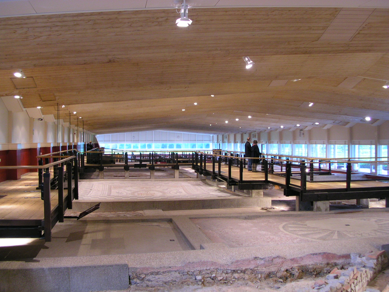
Fishbourne Roman Palace
Fishbourne Roman Palace or Fishbourne Villa is in the village of Fishbourne, near Chichester in West Sussex. The palace is the largest Roman residence...

Chichester College
Chichester College is a college of further education in Chichester, West Sussex, England. It has a second campus at Brinsbury, near Pulborough. It is a...
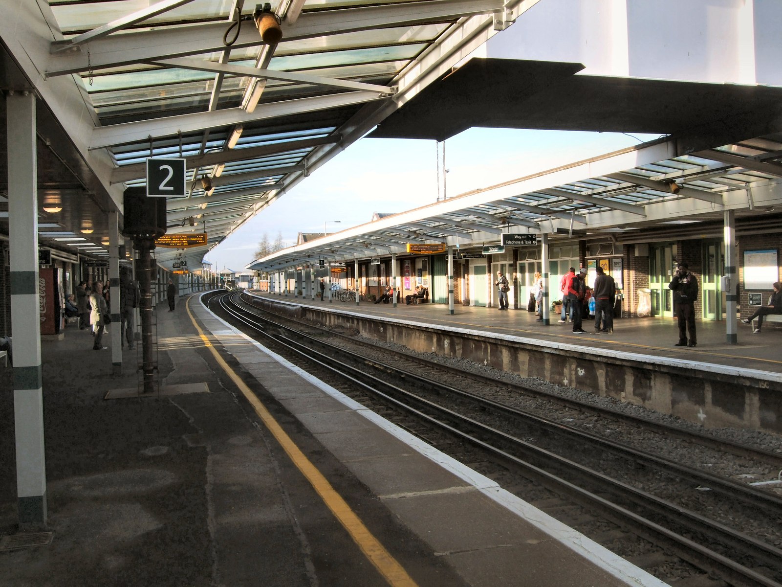
Chichester railway station
Chichester railway station is a railway station in the city of Chichester in West Sussex, England. It is 28 miles 51 chains (28.64 miles, 46.09 km) from...
Nearby Amenities
Located within 500m of 50.821774,-0.803024Have you been to Apuldram?
Leave your review of Apuldram below (or comments, questions and feedback).