Aquhythie

Settlement in Aberdeenshire

Scotland

Aquhythie

Summit of Cot-Town Hill Path takes you most of the way to summit but last few metres is through thick tree cover. A couple of stones marks summit
Summit of Cot-Town Hill Credit: Ralph Greig

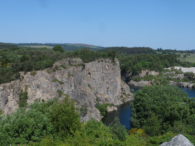
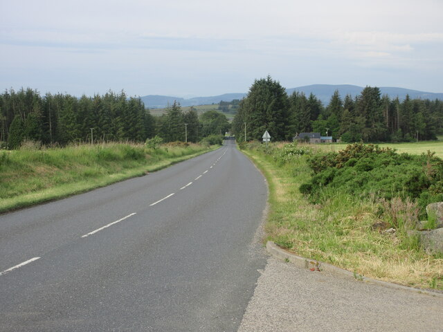
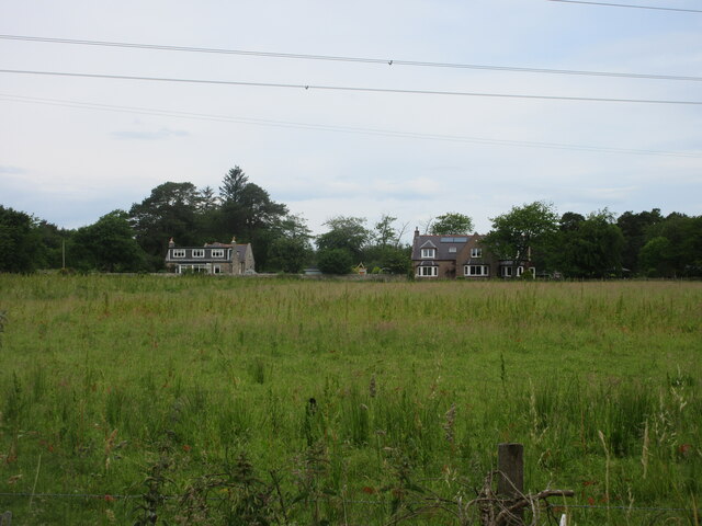
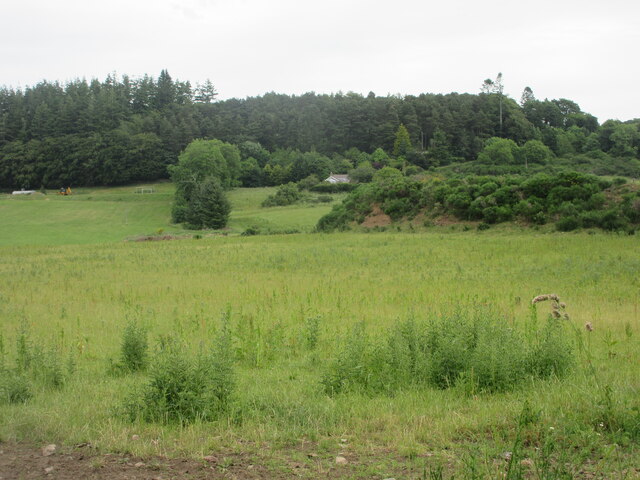
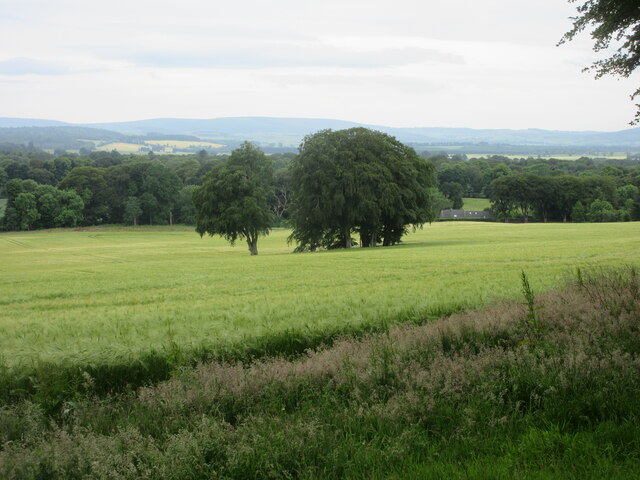
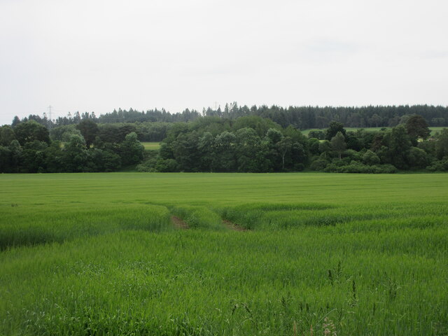
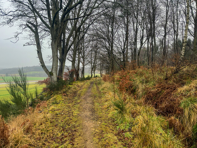
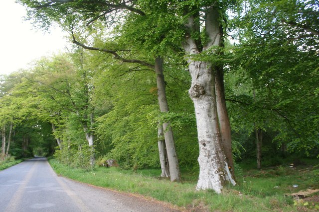
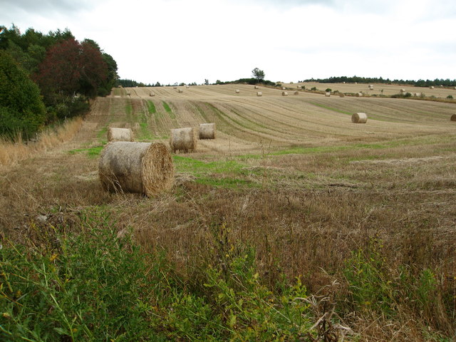
Aquhythie is a small rural village located in Aberdeenshire, Scotland. Situated approximately 18 miles west of Aberdeen, it is nestled in the picturesque countryside of North East Scotland. The village is surrounded by lush green fields and rolling hills, offering residents and visitors a tranquil and idyllic setting.

With a population of around 300, Aquhythie is a close-knit community that prides itself on its friendly and welcoming atmosphere. The village is known for its strong sense of community spirit, with various local events and activities organized throughout the year, including the annual village fair and charity fundraisers.

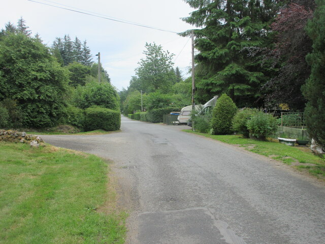
Aquhythie is home to a few essential amenities, including a village hall that serves as a hub for social gatherings and community events. The nearest primary school is located in the nearby village of Alford, ensuring that families have access to educational facilities. In terms of transportation, the village is well-connected by road, providing easy access to nearby towns and cities.

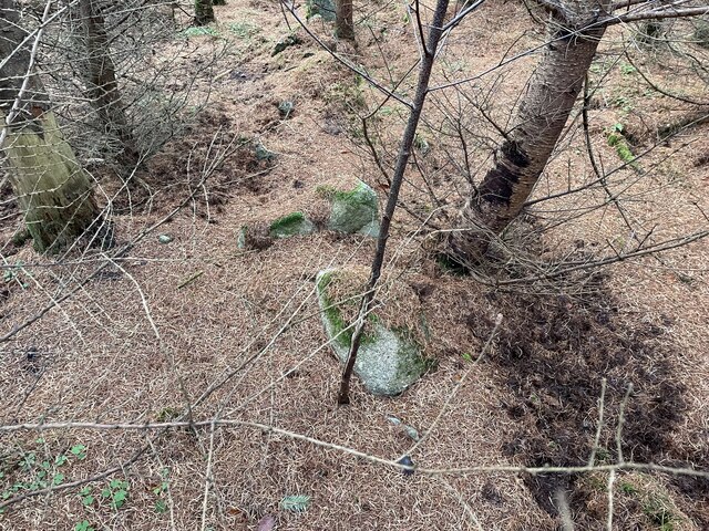
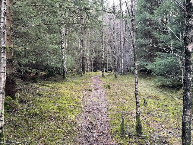
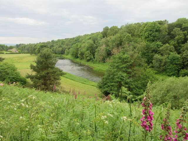
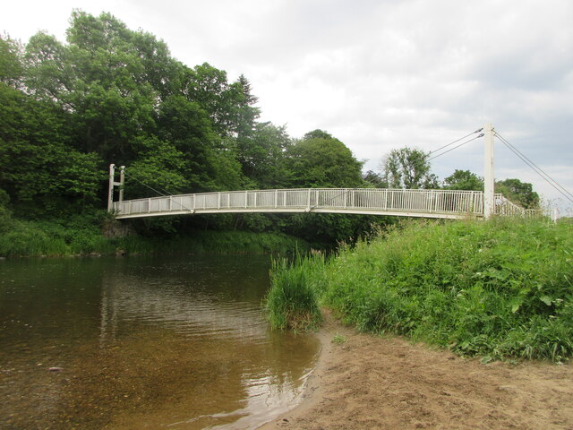
Nature enthusiasts will find Aquhythie to be a haven for outdoor activities. The surrounding countryside offers ample opportunities for hiking, cycling, and birdwatching. The nearby River Don also provides a great spot for fishing and picnicking by its scenic banks.

Overall, Aquhythie presents a charming and peaceful place to reside or visit, with its stunning natural surroundings and tight-knit community. It offers a perfect escape from the hustle and bustle of city life while still providing essential amenities and a warm sense of community.

If you have any feedback on the listing, please let us know in the comments section below.
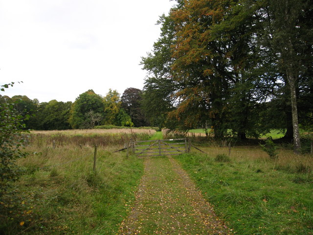
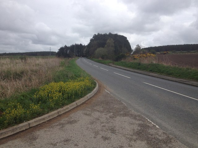
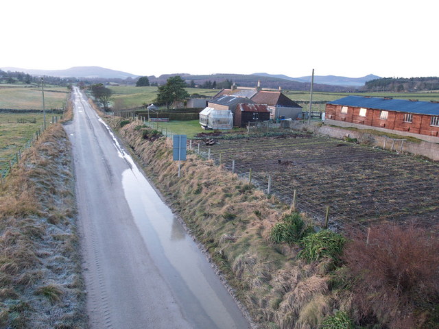
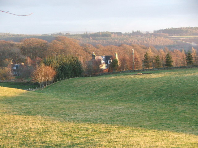
Aquhythie Images

Images are sourced within 2km of 57.255068/-2.426951 or Grid Reference NJ7418. Thanks to Geograph Open Source API. All images are credited.

Summit of Cot-Town Hill Path takes you most of the way to summit but last few metres is through thick tree cover. A couple of stones marks summit
Summit of Cot-Town Hill
Path takes you most of the way to summit but last few metres is through thick tree cover. A couple of stones marks summit
Cot-Town Hill As close to the big point as you can get using the walkers paths around this wooded hill area.
Cot-Town Hill
As close to the big point as you can get using the walkers paths around this wooded hill area.
Kemnay Quarry The quarry in mid June 2023 on a wall to wall blue sky day
Kemnay Quarry
The quarry in mid June 2023 on a wall to wall blue sky day
Kemnay Academy Secondary school in pretty countryside setting
Kemnay Academy
Secondary school in pretty countryside setting
B993 heading for Kemnay The B993 near Pine Lodge, heading for Kemnay from Inverurie.
B993 heading for Kemnay
The B993 near Pine Lodge, heading for Kemnay from Inverurie.
Houses at Aquhythie Looking west from the road to houses at Aquhythie.
Houses at Aquhythie
Looking west from the road to houses at Aquhythie.
Grassy meadow near Mill Farm Looking northwards over rough grassland from the road to Mill Farm.
Grassy meadow near Mill Farm
Looking northwards over rough grassland from the road to Mill Farm.
Glimpse of the River Don The River Don viewed from the road above to the north.
Glimpse of the River Don
The River Don viewed from the road above to the north.
Shakin' Briggie The Shakin' Briggie suspension footbridge over the River Don, viewed from the riverbank to the north-west.
Shakin' Briggie
The Shakin' Briggie suspension footbridge over the River Don, viewed from the riverbank to the north-west.
Cot-town Triangulation Pillar The trig pillar in a clearing at the top of Cot-town Wood.
Cot-town Triangulation Pillar
The trig pillar in a clearing at the top of Cot-town Wood.
Copse in barley field Copse in a field of barley near Fetternear.
Copse in barley field
Copse in a field of barley near Fetternear.
Road at Burnhervie Road heading east into the hamlet of Burnhervie.
Road at Burnhervie
Road heading east into the hamlet of Burnhervie.
Field north of the River Don Looking southwards to fields on the north side of the River Don near Waterside.
Field north of the River Don
Looking southwards to fields on the north side of the River Don near Waterside.
Woodland paths
Woodland paths
Treelined Road Trees by the Burnhervie road.
Treelined Road
Trees by the Burnhervie road.
Big bales in fields by Aquhythie Wood
Track heading towards Burnhervie A lovely private track where the estate welcomes responsible walkers
Track heading towards Burnhervie
A lovely private track where the estate welcomes responsible walkers
B993 near Inverurie
B993 near Inverurie
Show me another place!

Aquhythie is located at Grid Ref: NJ7418 (Lat: 57.255068, Lng: -2.426951)

Unitary Authority: Aberdeenshire

Police Authority: North East

What 3 Words

///grants.deaf.slept. Near Kemnay, Aberdeenshire

Nearby Locations

Aquhythie

Related Wikis

Nearby Amenities

Located within 500m of 57.255068,-2.426951
Design: barrel
Power: tower
Lat/Long: 57.2531822/-2.4249637
Design: barrel
Power: tower
Lat/Long: 57.2560988/-2.424306
Power: pole
Lat/Long: 57.2514307/-2.4310337
Power: pole
Lat/Long: 57.2519713/-2.4308482
Power: pole
Lat/Long: 57.2524351/-2.4307021
Power: pole
Lat/Long: 57.2527962/-2.4306497
Power: pole
Lat/Long: 57.253162/-2.4302352
Power: pole
Lat/Long: 57.2535798/-2.4297901
Power: pole
Lat/Long: 57.2541261/-2.4296811
Power: pole
Lat/Long: 57.2545569/-2.4296483
Power: pole
Lat/Long: 57.2575364/-2.4262166
Power: pole
Lat/Long: 57.2572544/-2.4256079
Power: pole
Lat/Long: 57.2569334/-2.4249316
Power: pole
Lat/Long: 57.2568933/-2.423555
Power: pole
Lat/Long: 57.2571116/-2.4228176
Power: pole
Lat/Long: 57.2574019/-2.4219275
Power: pole
Lat/Long: 57.2576497/-2.4211116
Power: pole
Lat/Long: 57.2528782/-2.4200415
Power: pole
Lat/Long: 57.2528782/-2.4210821
Power: pole
Lat/Long: 57.2528487/-2.4217017
Power: pole
Lat/Long: 57.252785/-2.4228231
Power: pole
Lat/Long: 57.2526976/-2.423519
Power: pole
Lat/Long: 57.2530369/-2.4242553
Power: pole
Lat/Long: 57.2533886/-2.4243971
Power: pole
Lat/Long: 57.2537827/-2.4245564
Power: pole
Lat/Long: 57.2543197/-2.4243971
Power: pole
Lat/Long: 57.2548696/-2.424251
Power: pole
Lat/Long: 57.2553947/-2.4241048
Power: pole
Lat/Long: 57.255888/-2.4239826
Power: pole
Lat/Long: 57.2564237/-2.4238386
Power: pole
Lat/Long: 57.2561269/-2.4243395
Power: pole
Lat/Long: 57.2531542/-2.424996
The data included in this document is from www.openstreetmap.org. The data is made available under ODbL.

Have you been to Aquhythie?

Leave your review of Aquhythie below (or comments, questions and feedback).