Coney Hall

Settlement in Kent

England

Coney Hall

Real Ale Way - Hayes Micropub in Hayes, Kent
Real Ale Way - Hayes Credit: Neil Carmichael

Coney Hall is a suburban area located in the London Borough of Bromley, in the county of Kent, England. Situated approximately 11 miles southeast of central London, it is an established residential neighborhood known for its peaceful atmosphere and convenient access to various amenities.

The area is primarily residential, featuring a mix of housing types including detached and semi-detached houses, as well as some apartment buildings. Coney Hall is characterized by its leafy streets and well-maintained gardens, creating an attractive environment for residents.

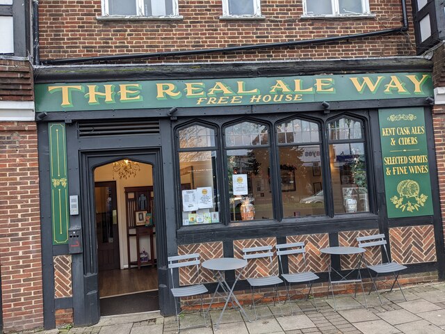
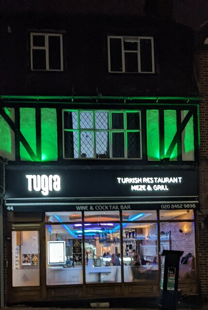
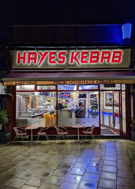
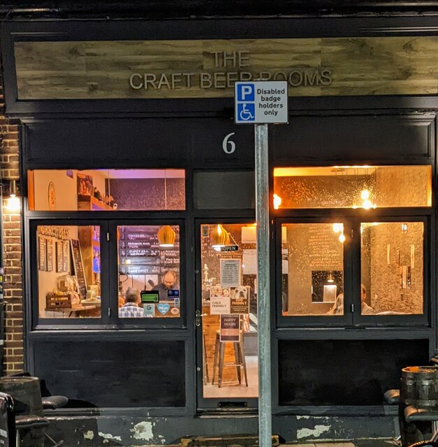
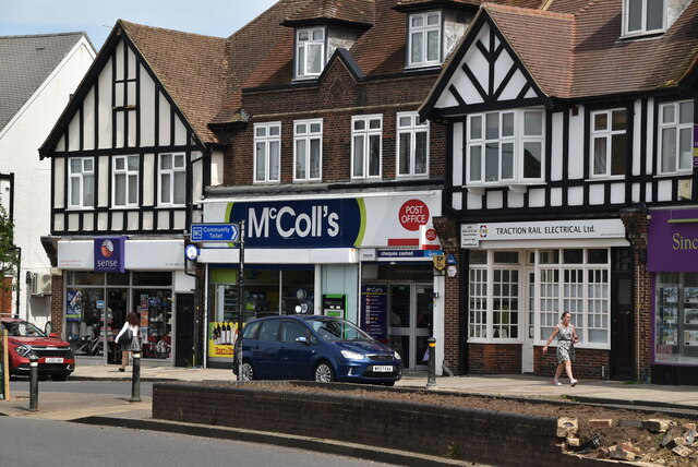
In terms of amenities, Coney Hall offers a range of local shops, including convenience stores, grocery shops, and a few small independent businesses. There are also several cafes and restaurants where residents can enjoy a meal or a cup of coffee. For a wider variety of shopping options, the nearby town of Bromley is easily accessible.

Nature enthusiasts will appreciate the proximity of Coney Hall to green spaces and parks. The area is close to the beautiful Kent countryside, enabling residents to enjoy outdoor activities such as walking, cycling, and picnicking. Notably, the popular High Elms Country Park is just a short distance away, providing a picturesque setting for leisurely strolls and wildlife spotting.

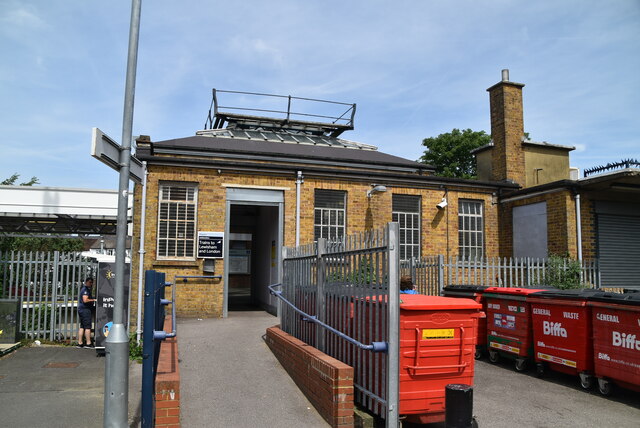
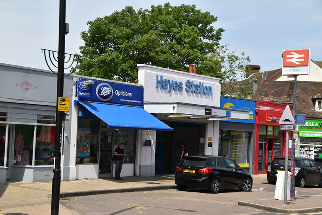
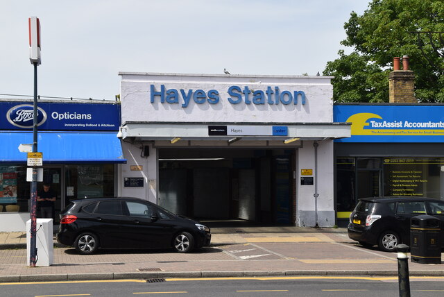
Transport links in Coney Hall are convenient, with several bus routes serving the area and connecting it to surrounding neighborhoods and Bromley town center. Additionally, Hayes train station is just a short distance away, offering regular services to London and other destinations.

Overall, Coney Hall offers a tranquil and family-friendly environment, making it an appealing place to live for those seeking a suburban lifestyle within easy reach of London.

If you have any feedback on the listing, please let us know in the comments section below.
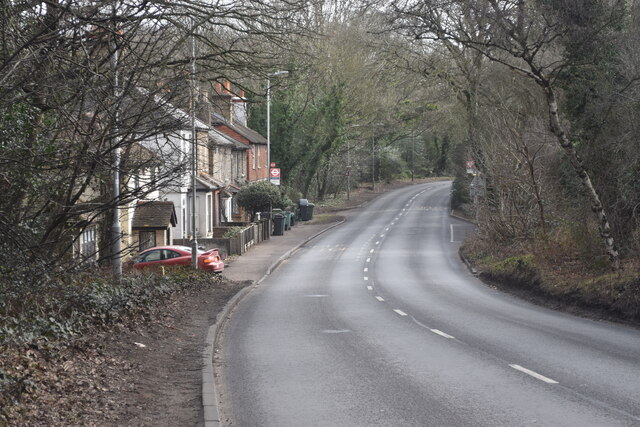
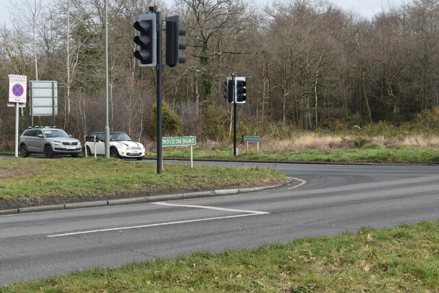
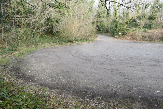
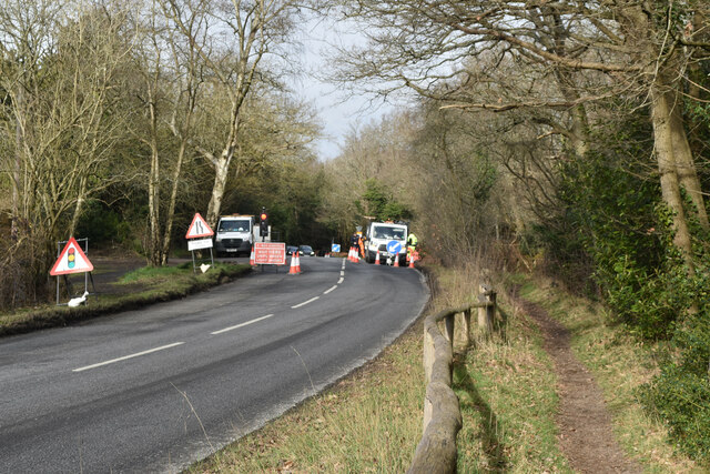
Coney Hall Images

Images are sourced within 2km of 51.367305/0.004008 or Grid Reference TQ3965. Thanks to Geograph Open Source API. All images are credited.

Real Ale Way - Hayes Micropub in Hayes, Kent
Real Ale Way - Hayes
Micropub in Hayes, Kent
Tugra restaurant Tugra Turkish restaurant in Hayes, Kent
Tugra restaurant
Tugra Turkish restaurant in Hayes, Kent
Hayes Kebab shop Kebab shop in Hayes, Kent
Hayes Kebab shop
Kebab shop in Hayes, Kent
The Craft Beer rooms The Craft Beer rooms a micropub in Hayes, Kent
The Craft Beer rooms
The Craft Beer rooms a micropub in Hayes, Kent
Croydon Road crossing Hayes Common
Road junction on Hayes Common
Car park on Hayes Common
Roadworks on Barton Manor Road Just outside Baston Manor.
Roadworks on Barton Manor Road
Just outside Baston Manor.
The Fox Inn at Keston
Keston Village sign On the green opposite The Greyhound pub.
Keston Village sign
On the green opposite The Greyhound pub.
Hayes Station Hayes station is located in Hayes in the London Borough of Bromley. It is 14 miles 32 chains from London Charing Cross.
The station is served by Southeastern services from Charing Cross and Cannon Street. It forms the suburban terminus for trains on the Hayes line. It opened in 1882.
Wikipedia: <span class="nowrap"><a title="https://en.wikipedia.org/wiki/Hayes_railway_station" rel="nofollow ugc noopener" href="https://en.wikipedia.org/wiki/Hayes_railway_station">Link</a><img style="margin-left:2px;" alt="External link" title="External link - shift click to open in new window" src="https://s1.geograph.org.uk/img/external.png" width="10" height="10"/></span>
Hayes Station
Hayes station is located in Hayes in the London Borough of Bromley. It is 14 miles 32 chains from London Charing Cross. The station is served by Southeastern services from Charing Cross and Cannon Street. It forms the suburban terminus for trains on the Hayes line. It opened in 1882. Wikipedia: LinkExternal link
The New Inn
The New Inn
McColl's, Hayes McColl's is a British convenience store and newsagent operator, trading under the trading names McColl's, Martins and RS McColl for stores in Scotland. McColl's also operate post offices in one third of the estate, making them the largest post office operator in the UK.
McColl's, Hayes
McColl's is a British convenience store and newsagent operator, trading under the trading names McColl's, Martins and RS McColl for stores in Scotland. McColl's also operate post offices in one third of the estate, making them the largest post office operator in the UK.
Mini-roundabout, Bourne Way
Hayes Station Hayes station is located in Hayes in the London Borough of Bromley. It is 14 miles 32 chains from London Charing Cross.
The station is served by Southeastern services from Charing Cross and Cannon Street. It forms the suburban terminus for trains on the Hayes line. It opened in 1882.
Wikipedia: <span class="nowrap"><a title="https://en.wikipedia.org/wiki/Hayes_railway_station" rel="nofollow ugc noopener" href="https://en.wikipedia.org/wiki/Hayes_railway_station">Link</a><img style="margin-left:2px;" alt="External link" title="External link - shift click to open in new window" src="https://s1.geograph.org.uk/img/external.png" width="10" height="10"/></span>
Hayes Station
Hayes station is located in Hayes in the London Borough of Bromley. It is 14 miles 32 chains from London Charing Cross. The station is served by Southeastern services from Charing Cross and Cannon Street. It forms the suburban terminus for trains on the Hayes line. It opened in 1882. Wikipedia: LinkExternal link
The New Inn
The New Inn
Hayes Station Hayes station is located in Hayes in the London Borough of Bromley. It is 14 miles 32 chains from London Charing Cross.
The station is served by Southeastern services from Charing Cross and Cannon Street. It forms the suburban terminus for trains on the Hayes line. It opened in 1882.
Wikipedia: <span class="nowrap"><a title="https://en.wikipedia.org/wiki/Hayes_railway_station" rel="nofollow ugc noopener" href="https://en.wikipedia.org/wiki/Hayes_railway_station">Link</a><img style="margin-left:2px;" alt="External link" title="External link - shift click to open in new window" src="https://s1.geograph.org.uk/img/external.png" width="10" height="10"/></span>
Hayes Station
Hayes station is located in Hayes in the London Borough of Bromley. It is 14 miles 32 chains from London Charing Cross. The station is served by Southeastern services from Charing Cross and Cannon Street. It forms the suburban terminus for trains on the Hayes line. It opened in 1882. Wikipedia: LinkExternal link
Clock, Hayes
Clock, Hayes
Show me another place!

Coney Hall is located at Grid Ref: TQ3965 (Lat: 51.367305, Lng: 0.004008)

Unitary Authority: Bromley

Police Authority: Metropolitan

What 3 Words

///statue.volunteered.saving. Near West Wickham, London

Related Wikis

Coney Hall

Coney Hall is an area of Greater London, within the London Borough of Bromley, Greater London and formerly in the historic county of Kent. It is located...

The Warren

The Warren, originally known as Warren House, is a Grade II listed building located in the parish of West Wickham and the postal district of Hayes, Greater...
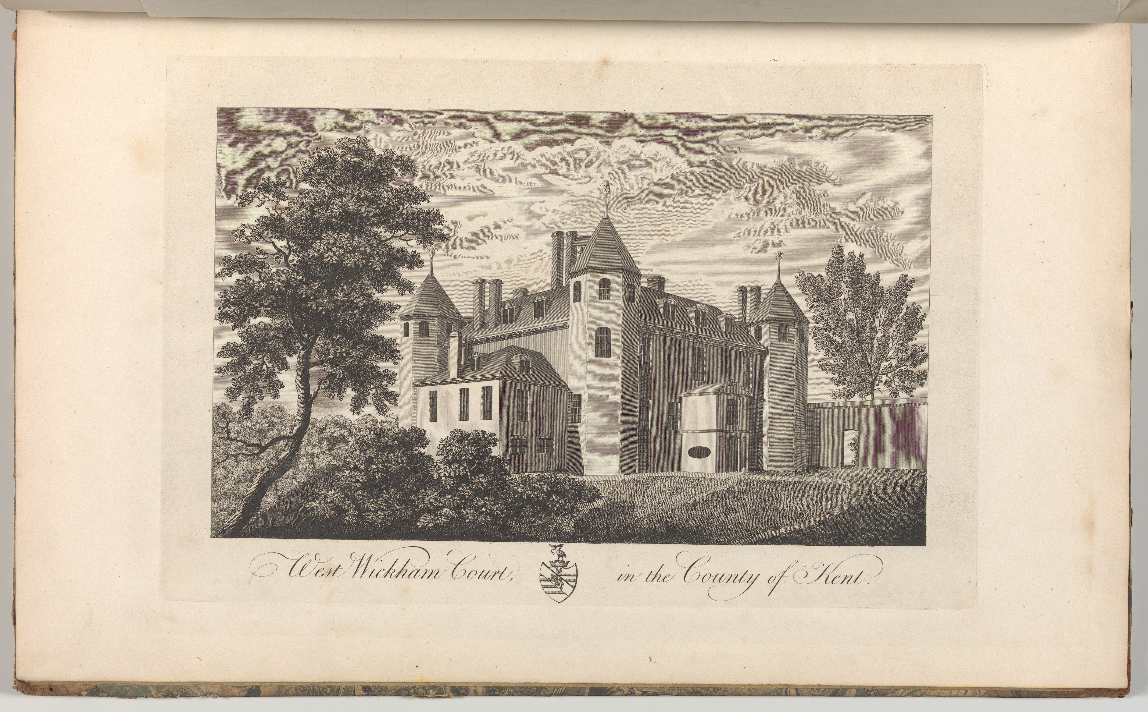
Wickham Court

Wickham Court is a semi-fortified country house in West Wickham, Bromley, a borough of south-east London and historically and traditionally part of the...

All Saints Catholic School, West Wickham

All Saints Catholic School was a Catholic secondary school located on Layhams Road, West Wickham, London Borough of Bromley. Formerly known as 'St. John...

Nearby Amenities

Located within 500m of 51.367305,0.004008
Turning Circle
Lat/Long: 51.3710768/0.0005381
Mini Roundabout
Lat/Long: 51.3668359/0.0082169
Ref GB Tflcid: RWG278478
Traffic Calming: hump
Lat/Long: 51.3676297/-0.0008785
Turning Circle
Lat/Long: 51.3693641/0.0036156
Crossing
Crossing: traffic_signals
Crossing Ref: pelican
Tactile Paving: yes
Traffic Signals Sound: yes
Lat/Long: 51.3698706/0.001192
Bus Stop
Hail & Ride Queensway / Birch Tree Avenue
Naptan AtcoCode: 490004012N
Naptan Bearing: N
Naptan CommonName: Birch Tree Avenue Queensway
Naptan Street: BIRCH TREE AVENUE
Naptan Verified: no
Physically Present: no
Public Transport: platform
Lat/Long: 51.3657979/0.0040328
Bus Stop
Hail & Ride Birch Tree Avenue
Naptan AtcoCode: 490004013N
Naptan Bearing: N
Naptan CommonName: Birch Tree Avenue
Naptan Street: BIRCH TREE AVENUE
Naptan Verified: no
Physically Present: no
Public Transport: platform
Lat/Long: 51.3631974/0.0037362
Bus Stop
Chestnut Avenue
Bench: no
Bin: no
Lit: yes
Naptan AtcoCode: 490005141S1
Naptan Bearing: N
Naptan CommonName: Chestnut Avenue Queensway
Naptan Street: CHESTNUT AVENUE
Naptan Verified: no
Public Transport: platform
Shelter: no
Tactile Paving: no
Lat/Long: 51.3672178/0.0011492
Bus Stop
Coney Hall / Kingsway
Bench: no
Bin: yes
Lit: yes
Local Ref: S
Naptan AtcoCode: 490005543E
Naptan Bearing: N
Naptan CommonName: Coney Hall Parade Kingsway
Naptan Indicator: S
Naptan Verified: no
Public Transport: platform
Shelter: no
Tactile Paving: no
Lat/Long: 51.3694321/0.0011381
Bus Stop
Coney Hall Parade
Bench: yes
Bin: yes
Lit: yes
Local Ref: T
Naptan AtcoCode: 490005543W
Naptan Bearing: N
Naptan CommonName: Coney Hall Parade Kingsway
Naptan Indicator: T
Naptan Verified: no
Public Transport: platform
Shelter: yes
Tactile Paving: no
Lat/Long: 51.3692085/0.0012581
Bus Stop
Coney Hall
Bench: yes
Local Ref: Q
Naptan AtcoCode: 490005544E
Naptan Bearing: E
Naptan CommonName: Coney Hall
Naptan Indicator: Stop Q
Naptan Street: CROYDON ROAD
Naptan Verified: no
Public Transport: platform
Shelter: yes
Tactile Paving: no
Lat/Long: 51.3701306/0.0023345
Bus Stop
Coney Hall
Bench: yes
Local Ref: R
Naptan AtcoCode: 490005544W
Naptan Bearing: N
Naptan CommonName: Coney Hall
Naptan Indicator: R
Naptan Street: CROYDON ROAD
Naptan Verified: no
Public Transport: platform
Shelter: yes
Tactile Paving: no
Lat/Long: 51.3701088/0.0029688
Bus Stop
Princes Way
Bus: yes
Bus Routes: 138
Departures Board: timetable
Naptan AtcoCode: 490011219N
Naptan Bearing: N
Naptan CommonName: Coney Hall Princes Way
Naptan Street: PRINCES WAY
Naptan Verified: no
Operator: Transport for London
Public Transport: platform
Ref: 53279
Shelter: yes
Source Ref: naptan
Lat/Long: 51.3671809/0.0040728
Bus Stop
Hail & Ride Sylvan Way / Chestnut Avenue
Naptan AtcoCode: 490013139S
Naptan Bearing: S
Naptan CommonName: Sylvan Way Chestnut Avenue
Naptan Street: SYLVAN WAY
Naptan Verified: no
Physically Present: no
Public Transport: platform
Lat/Long: 51.3654527/0.0008379
Crossing
Crossing Island: no
Crossing Signals: no
Lat/Long: 51.37029/0.0040145
Meridian
Tourism: information
Lat/Long: 51.3672792/-0.0016389
West Wickham Commons
Check Date: 2021-04-18
Information: map
Tourism: information
Lat/Long: 51.3704034/0.0043071
Post Box
Collection Times: Mo-Fr 17:45; Sa 12:00
Operator: Royal Mail
Operator Wikidata: Q638098
Ref: BR4 301
Royal Cypher: GR
Royal Cypher Wikidata: Q33102273
Lat/Long: 51.3699284/0.0011657
Post Box
Collection Times: Mo-Fr 09:00; Sa 07:00
Operator: Royal Mail
Operator Wikidata: Q638098
Post Box Type: pillar
Ref: BR4 339D
Royal Cypher: GR
Royal Cypher Wikidata: Q33102273
Lat/Long: 51.3655187/0.0074939
Post Box
Collection Times: Mo-Fr 09:00; Sa 07:00
Operator: Royal Mail
Operator Wikidata: Q638098
Post Box Type: pillar
Ref: BR4 338D
Royal Cypher: GR
Royal Cypher Wikidata: Q33102273
Lat/Long: 51.3668069/0.0071619
Post Box
Collection Times: Mo-Fr 16:15; Sa 12:15
Operator: Royal Mail
Operator Wikidata: Q638098
Ref: BR4 312D
Royal Cypher: GR
Royal Cypher Wikidata: Q33102273
Lat/Long: 51.3674879/0.0013004
Crossing
Button Operated: yes
Crossing: traffic_signals
Crossing Ref: pelican
Tactile Paving: yes
Traffic Signals Sound: yes
Lat/Long: 51.3697809/0.0010527
Coney Hall
Place: suburb
Wikidata: Q3634013
Lat/Long: 51.3703786/0.0035117
Co-op Food
Addr City: West Wickham
Addr Housenumber: 42 - 46
Addr Postcode: BR4 9HU
Addr Street: Croydon Road
Brand: Co-op Food
Brand Wikidata: Q3277439
Brand Wikipedia: en:Co-op Food
Fhrs Id: 357201
Operator: The Co-operative Group
Operator Wikidata: Q117202
Shop: supermarket
Source Addr: FHRS Open Data
Website: https://www.coop.co.uk/store-finder/BR4-9HU/42-46-croydon-road
Lat/Long: 51.3696409/0.0010876
Cafe
Golden Grain
Diet Vegan: yes
Diet Vegetarian: yes
Fixme: This was closed for summer in 2018 - reopening?
Lat/Long: 51.3691926/0.001139
Cafe
Omega
Addr City: West Wickham
Addr Housenumber: 88
Addr Postcode: BR4 9HY
Addr Street: Croydon Road
Cuisine: british
Diet Vegan: no
Diet Vegetarian: limited
Fhrs Id: 357202
Indoor Seating: yes
Outdoor Seating: no
Source Addr: FHRS Open Data
Lat/Long: 51.3699905/0.0027115
Restaurant
Cuisine: greek
Lat/Long: 51.36906/0.0013346
Atm
Check Date: 2024-03-14
Fee: no
Operator: Co-operative
Lat/Long: 51.3696262/0.0010018
Addr City: West Wickham
Addr Housenumber: 26
Addr Postcode: BR4 9JW
Addr Street: Gates Green Road
Lat/Long: 51.3680437/0.0054832
Addr City: West Wickham
Addr Housenumber: 28
Addr Postcode: BR4 9JW
Addr Street: Gates Green Road
Lat/Long: 51.3679758/0.0055409
Addr City: West Wickham
Addr Housenumber: 30
Addr Postcode: BR4 9JW
Addr Street: Gates Green Road
Lat/Long: 51.3679038/0.005624
Addr City: West Wickham
Addr Housenumber: 32
Addr Postcode: BR4 9JW
Addr Street: Gates Green Road
Lat/Long: 51.3678134/0.0057206
Stop
Direction: backward
Lat/Long: 51.3703999/0.0039308
Give Way
Direction: backward
Lat/Long: 51.3705199/0.0038143
Tactile Paving: yes
Lat/Long: 51.3703206/0.003723
Tactile Paving: yes
Lat/Long: 51.3705075/0.0035736
Crossing
Crossing: unmarked
Tactile Paving: yes
Lat/Long: 51.3704466/0.0036149
Crossing
Crossing: unmarked
Tactile Paving: yes
Lat/Long: 51.3703745/0.0036658
Tactile Paving: yes
Lat/Long: 51.370553/0.0036602
Tactile Paving: yes
Lat/Long: 51.3705856/0.0038832
Crossing
Crossing: unmarked
Tactile Paving: yes
Lat/Long: 51.3705689/0.0037715
Pharmacy
Coney Hall Pharmacy
Addr City: West Wickham
Addr Country: GB
Addr Housename: Coney Hall Parade
Addr Housenumber: 5
Addr Postcode: BR4 9JB
Addr Street: Kingsway
Fhrs Id: 987352
Healthcare: pharmacy
Shop: chemist
Source Addr: FHRS Open Data
Lat/Long: 51.3693128/0.0014091
The Earthworks
Archaeological Site: fortification
Historic: archaeological_site
Historic Civilization: Iron_Age
Start Date: 800BC
Lat/Long: 51.3685545/0.0081603
Pub
The Coney
Addr City: West Wickham
Addr Housenumber: 35
Addr Postcode: BR4 9HZ
Addr Street: Croydon Road
Source Addr: FHRS Open Data
Lat/Long: 51.3701653/0.0006925
Flooring Centre
Shop: flooring
Lat/Long: 51.3700146/0.0008886
Restaurant
Thai Elephant
Addr City: West Wickham
Addr Housenumber: 39
Addr Postcode: BR4 9HZ
Addr Street: Croydon Road
Cuisine: thai
Fhrs Id: 357200
Source Addr: FHRS Open Data
Lat/Long: 51.3700013/0.0009846
Cafe
Coney's
Addr City: West Wickham
Addr Housenumber: 41
Addr Postcode: BR4 9HZ
Addr Street: Croydon Road
Fhrs Id: 595512
Source Addr: FHRS Open Data
Lat/Long: 51.3699871/0.0010766
Prep School
Kumon
Brand: Kumon
Brand Wikidata: Q142054
Brand Wikipedia: en:Kumon
Lat/Long: 51.3699855/0.001166
The Pet Place
Shop: pet
Lat/Long: 51.3699871/0.001254
Coney Hall Cycle Works
Shop: bicycle
Lat/Long: 51.3699896/0.0013473
Penbrice Interiors
Shop: curtain
Lat/Long: 51.3694131/0.0008135
Crafty Barbers
Shop: hairdresser
Lat/Long: 51.3693784/0.0008678
Ingrams
Addr City: West Wickham
Addr Housenumber: 8
Addr Postcode: BR4 9JF
Addr Street: Kingsway
Fhrs Id: 357261
Shop: newsagent
Source Addr: FHRS Open Data
Lat/Long: 51.3693558/0.0009026
Londis
Addr City: West Wickham
Addr Housenumber: 10
Addr Postcode: BR4 9JF
Addr Street: Kingsway
Brand: Londis
Brand Wikidata: Q21008564
Brand Wikipedia: en:Londis (United Kingdom)
Fhrs Id: 358262
Shop: supermarket
Source Addr: FHRS Open Data
Lat/Long: 51.3692865/0.0010021
Paul Turnham Kitchens
Shop: kitchen
Lat/Long: 51.3692316/0.0010835
Elliott Vapes
Shop: e-cigarette
Lat/Long: 51.3691566/0.001192
Youngs Cycles
Shop: bicycle
Lat/Long: 51.3691332/0.0012269
The Design Studio
Shop: furniture
Lat/Long: 51.3691034/0.0012721
The Beauty & Bed
Shop: beauty
Lat/Long: 51.3692736/0.0014672
P S Studio
Shop: hairdresser
Lat/Long: 51.3693486/0.00136
Insurance Management
Office: insurance
Lat/Long: 51.3693849/0.001307
Office Solutions
Shop: copyshop
Lat/Long: 51.3694204/0.0012592
J Par & Co
Addr City: West Wickham
Addr Housename: Coney Hall Parade
Addr Housenumber: 1
Addr Postcode: BR4 9JB
Addr Street: Kingsway
Fhrs Id: 357263
Shop: butcher
Source Addr: FHRS Open Data
Lat/Long: 51.3694583/0.0012062
William Hill
Brand: William Hill
Brand Wikidata: Q4053147
Brand Wikipedia: en:William Hill (bookmaker)
Shop: bookmaker
Lat/Long: 51.3696769/0.0013736
Brid's Tanning & Beauty
Shop: beauty
Lat/Long: 51.3696621/0.0012458
Restaurant
Elkervan
Cuisine: turkish
Opening Hours: Mo-Sa 11:30-10:30, Su 13:00-22:30
Lat/Long: 51.3696983/0.0014919
S J's
Office: yes
Lat/Long: 51.3697064/0.0015653
Tile Giant
Brand: Tile Giant
Brand Wikidata: Q87007841
Shop: tiles
Lat/Long: 51.3697182/0.0016777
Top To Toe
Shop: hairdresser
Lat/Long: 51.3697367/0.0017913
Cherry Carpets
Shop: carpet
Lat/Long: 51.3697559/0.0018647
Coney Hall Dry Cleaners
Opening Hours: Mo-Sa 08:00-18:00
Shop: dry_cleaning
Lat/Long: 51.3697759/0.0019357
Capital Barbers
Male: yes
Shop: hairdresser
Lat/Long: 51.3697958/0.0020043
GDP Electrical
Craft: electrician
Lat/Long: 51.369815/0.0020729
Restaurant
Golden Valley
Addr City: West Wickham
Addr Housenumber: 72
Addr Postcode: BR4 9HY
Addr Street: Croydon Road
Cuisine: chinese
Fhrs Id: 358763
Source Addr: FHRS Open Data
Lat/Long: 51.3698335/0.0021439
Bonds Builders
Office: yes
Lat/Long: 51.3698505/0.0022149
G P Plastics
Craft: window_construction
Lat/Long: 51.3698712/0.0022859
Aprium
Office: it
Lat/Long: 51.3698896/0.0023569
The Bromley Bathroom Company
Shop: bathroom_furnishing
Lat/Long: 51.3699118/0.0024268
Fast Food
Sea Dainties
Addr City: West Wickham
Addr Housenumber: 82
Addr Postcode: BR4 9HY
Addr Street: Croydon Road
Cuisine: fish_and_chips
Fhrs Id: 358411
Source Addr: FHRS Open Data
Lat/Long: 51.3699288/0.0024978
Restaurant
I Naga
Addr City: West Wickham
Addr Housenumber: 84
Addr Postcode: BR4 9HY
Addr Street: Croydon Road
Cuisine: indian
Fhrs Id: 716285
Source Addr: FHRS Open Data
Lat/Long: 51.369951/0.0025688
Ravensbourne Financial
Office: financial_advisor
Lat/Long: 51.3699702/0.0026409
Traffic Calming: island
Lat/Long: 51.3668037/0.0080612
Traffic Calming: island
Lat/Long: 51.3668131/0.0084132
Bench
Lat/Long: 51.3690143/0.0073889
Bench
Lat/Long: 51.3687822/0.0092333
Bench
Lat/Long: 51.36913/0.0087073
Bench
Lat/Long: 51.3688401/0.0066462
Bicycle Parking
Bicycle Parking: stands
Capacity: 1
Covered: no
Ref GB Tflcid: RWG204589
Lat/Long: 51.3696641/0.0009607
Bicycle Parking
Bicycle Parking: stands
Capacity: 2
Covered: no
Ref GB Tflcid: RWG204592
Lat/Long: 51.3699154/0.00137
Bicycle Parking
Bicycle Parking: stands
Capacity: 1
Covered: no
Ref GB Tflcid: RWG204590
Lat/Long: 51.36967/0.0011393
Bicycle Parking
Bicycle Parking: stands
Capacity: 8
Covered: no
Ref GB Tflcid: RWG204588
Lat/Long: 51.3692486/0.0012155
Bicycle Parking
Bicycle Parking: stands
Capacity: 8
Ref GB Tflcid: RWG278495
Lat/Long: 51.3688441/-0.0023521
Bicycle Parking
Bicycle Parking: stands
Capacity: 1
Ref GB Tflcid: RWG204591
Lat/Long: 51.3697119/0.0012006
Bicycle Parking
Bicycle Parking: stands
Capacity: 2
Covered: no
Ref GB Tflcid: RWG204593
Lat/Long: 51.3699219/0.0010805
Give Way
Direction: backward
Lat/Long: 51.3695884/0.0098312
The data included in this document is from www.openstreetmap.org. The data is made available under ODbL.

Have you been to Coney Hall?

Leave your review of Coney Hall below (or comments, questions and feedback).