West Wickham Common
Wood, Forest in Kent
England
West Wickham Common
West Wickham Common is a woodland area located in the county of Kent, England. It covers an expanse of approximately 138 acres, making it a significant green space within the region. The common is situated in the suburban town of West Wickham, which lies within the London Borough of Bromley.
The common is primarily composed of woodland, consisting of a variety of tree species such as oak, birch, and beech. These trees form a dense canopy that provides shade and shelter for numerous wildlife species. The woodland floor is adorned with a diverse array of flora, including bluebells, primroses, and ferns, creating a vibrant and colorful environment during the spring and summer months.
West Wickham Common is also home to various wildlife species, making it a popular spot for nature enthusiasts and birdwatchers. Common sightings include foxes, squirrels, and a variety of bird species such as woodpeckers and robins. The common is also known to host a population of bats, which can be observed at dusk.
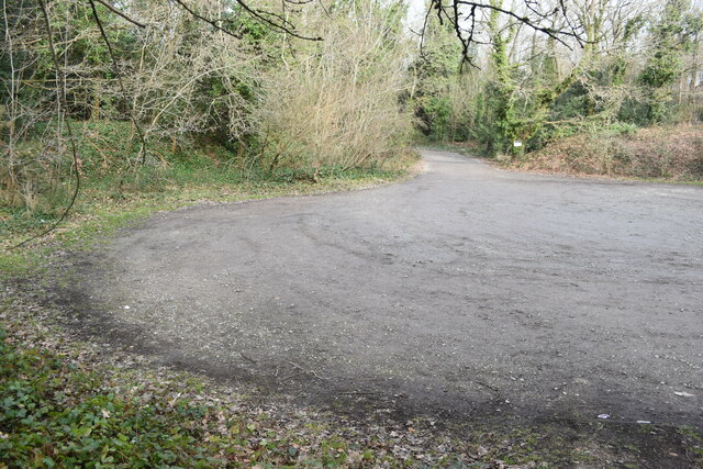
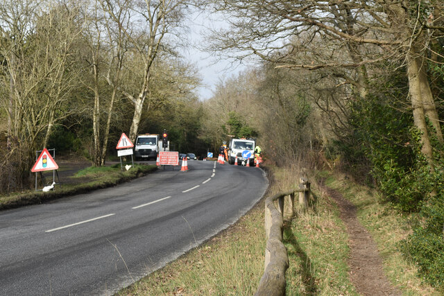
The common is equipped with well-maintained footpaths and trails, providing visitors with the opportunity to explore and enjoy the natural surroundings. It is a popular destination for leisure activities such as walking, jogging, and picnicking. The open grassy areas within the common offer ample space for recreational activities and relaxation.
West Wickham Common, with its tranquil woodland setting, diverse wildlife, and recreational opportunities, serves as an important green space for both the local community and visitors from surrounding areas.
If you have any feedback on the listing, please let us know in the comments section below.
West Wickham Common Images
Images are sourced within 2km of 51.368523/0.009165845 or Grid Reference TQ3965. Thanks to Geograph Open Source API. All images are credited.


West Wickham Common is located at Grid Ref: TQ3965 (Lat: 51.368523, Lng: 0.009165845)
Unitary Authority: Bromley
Police Authority: Metropolitan
What 3 Words
///vote.output.garden. Near West Wickham, London
Nearby Locations
Related Wikis

The Warren
The Warren, originally known as Warren House, is a Grade II listed building located in the parish of West Wickham and the postal district of Hayes, Greater...

Coney Hall
Coney Hall is an area of Greater London, within the London Borough of Bromley, Greater London and formerly in the historic county of Kent. It is located...

Hayes Common
Hayes Common is a 79-Hectare (195 acre) area of public open land in Hayes in the London Borough of Bromley. It is owned and managed by Bromley Council...
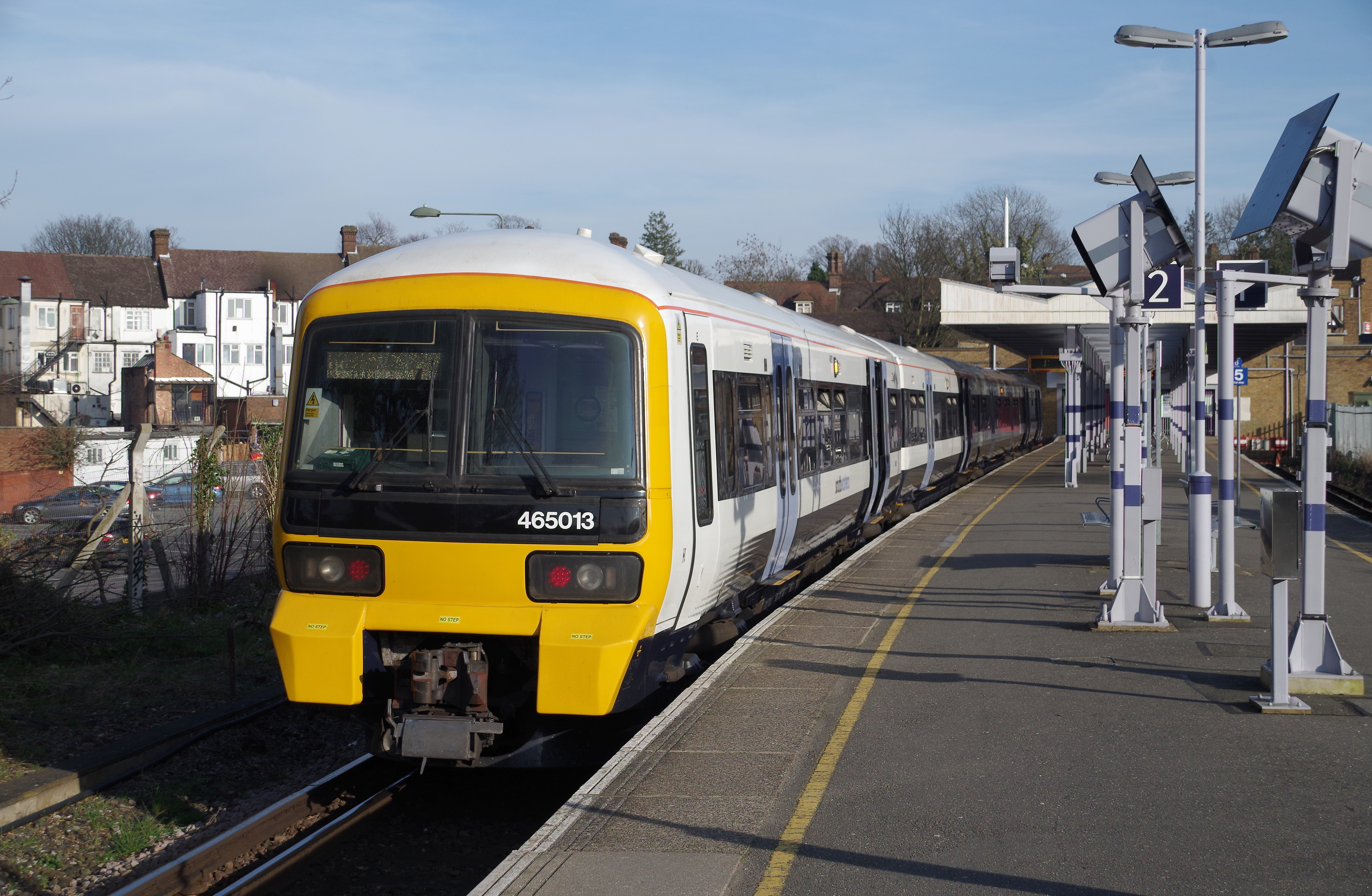
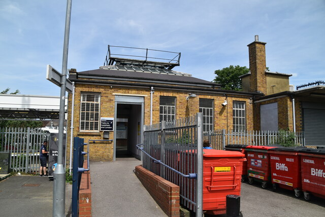
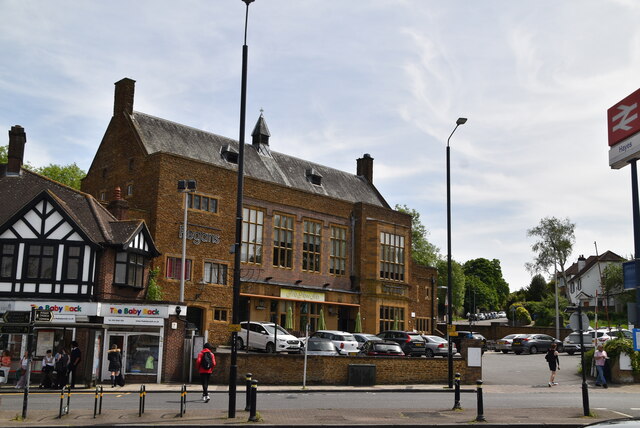
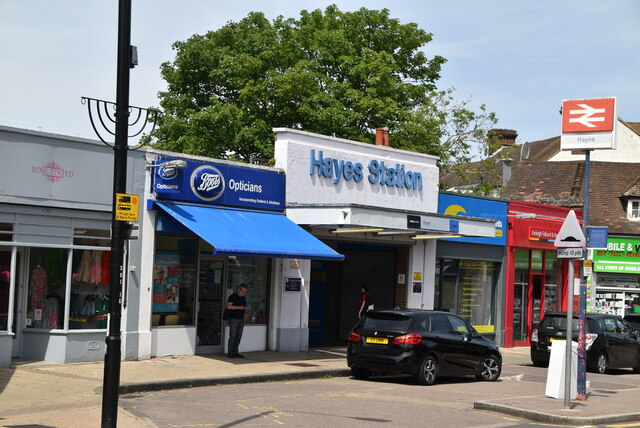
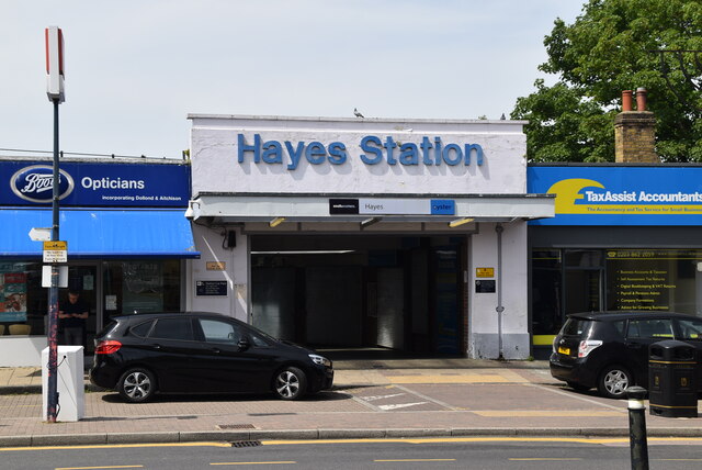
Hayes railway station
Hayes railway station is a railway station located in Hayes in the London Borough of Bromley, south east London, England. It is 14 miles 32 chains (23...
Nearby Amenities
Located within 500m of 51.368523,0.009165845Have you been to West Wickham Common?
Leave your review of West Wickham Common below (or comments, questions and feedback).