Condover
Settlement in Shropshire
England
Condover
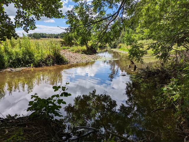
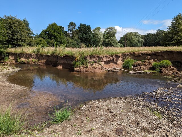
Condover is a small village located in the county of Shropshire, England. Situated approximately 5 miles south of Shrewsbury, the village lies on the banks of the River Severn and is surrounded by picturesque countryside. With a population of around 1,500, Condover retains a close-knit community atmosphere.
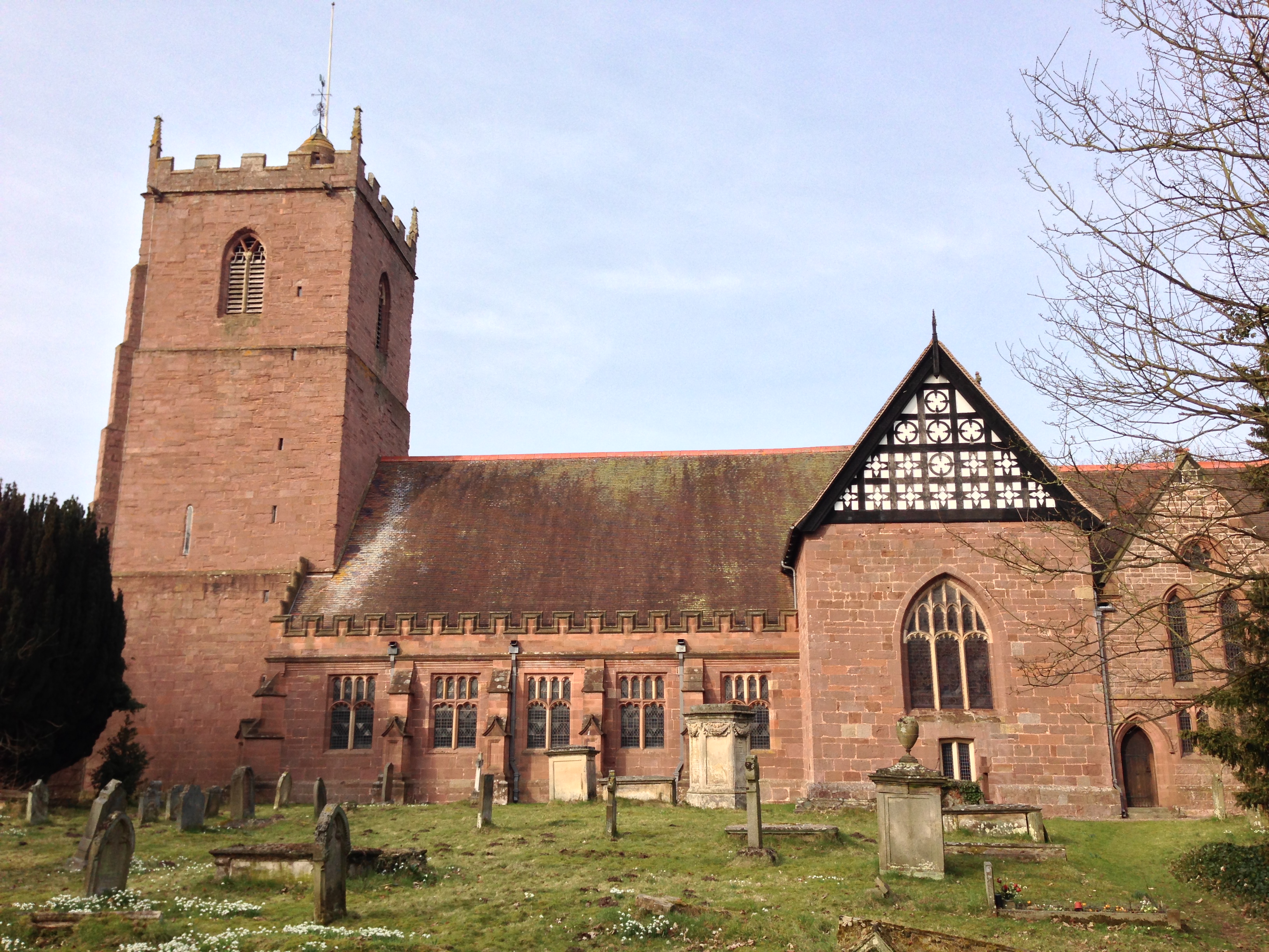
The village is well-known for its historical significance, dating back to the Domesday Book in 1086. It boasts several notable landmarks, including the Grade I listed St. Andrew's Church, which dates back to the 12th century and features stunning medieval architecture. The churchyard also contains the grave of the poet and writer, Wilfred Owen, who lived in the village for a short period.
Condover offers a range of amenities and services to its residents and visitors. These include a primary school, a village hall, a post office, and a local convenience store. The village is also home to a popular pub, The Bell Inn, which serves traditional British food and offers a cozy atmosphere for locals and tourists alike.
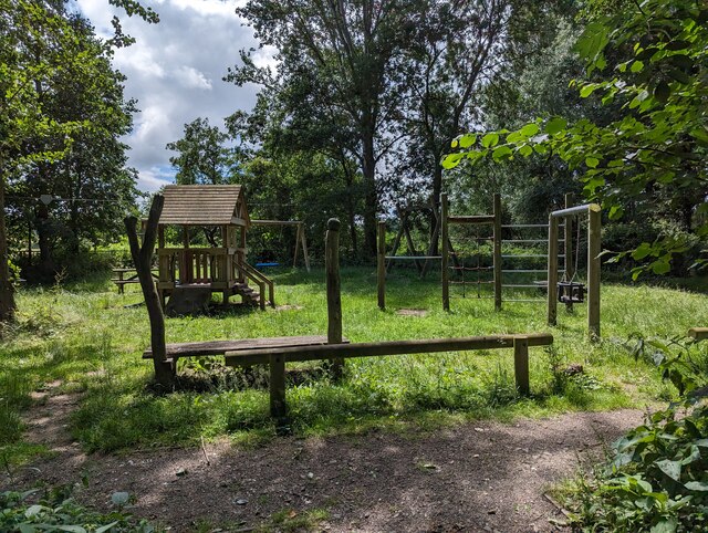
The surrounding countryside provides ample opportunities for outdoor activities, such as walking, cycling, and fishing, with several nature reserves and parks nearby. The village is also conveniently located for access to the larger town of Shrewsbury, which offers a wider range of shopping, entertainment, and cultural attractions.
Overall, Condover is a charming and historic village, offering a peaceful and picturesque setting for its residents and visitors to enjoy.
If you have any feedback on the listing, please let us know in the comments section below.
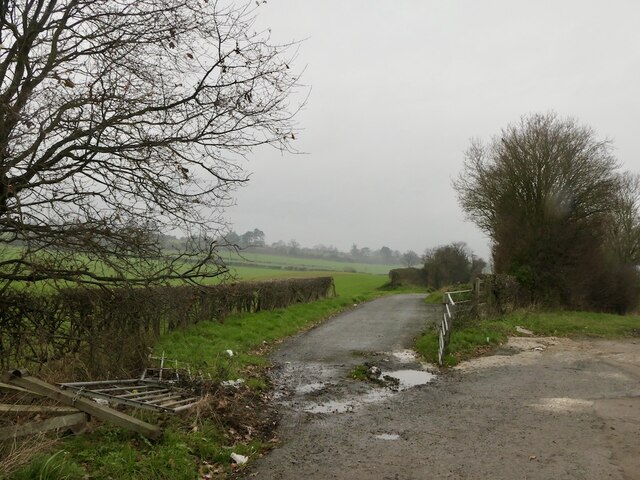
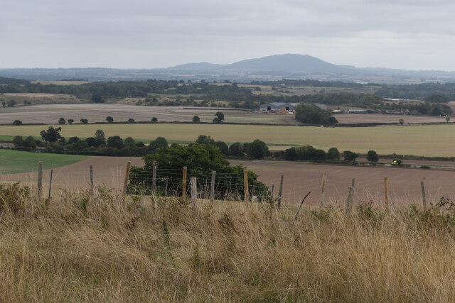
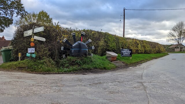
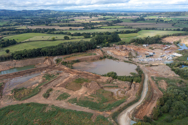
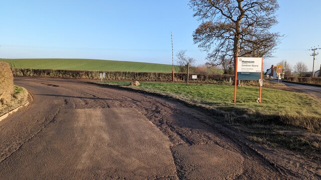
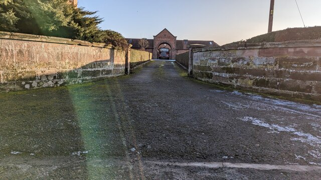
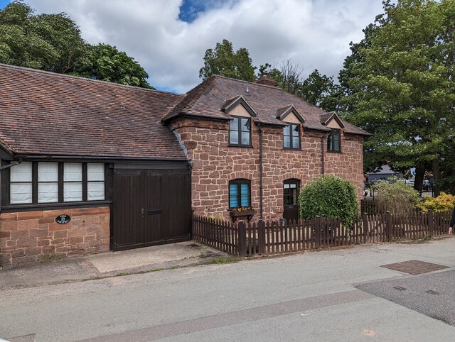
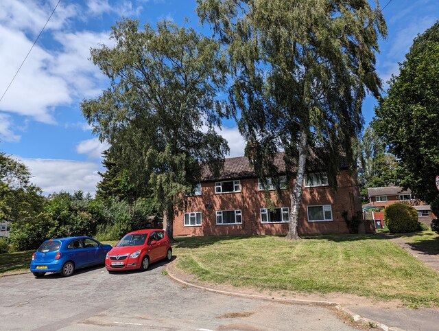
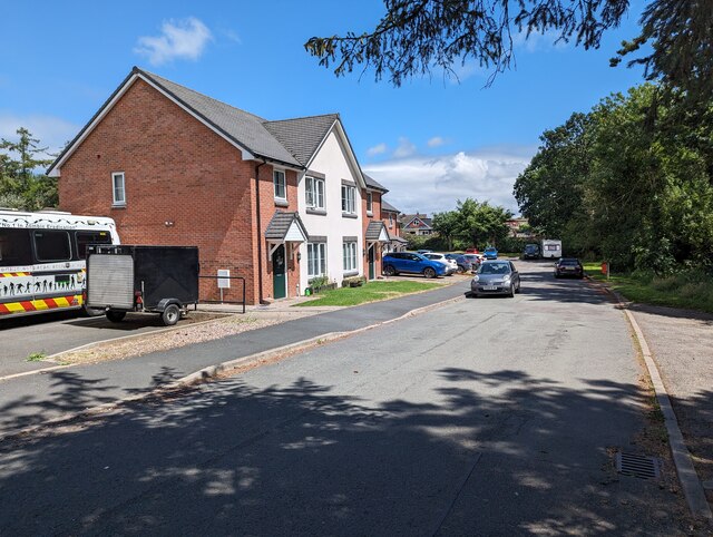
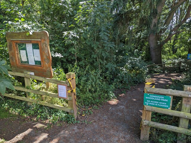
Condover Images
Images are sourced within 2km of 52.648305/-2.750339 or Grid Reference SJ4905. Thanks to Geograph Open Source API. All images are credited.


Condover is located at Grid Ref: SJ4905 (Lat: 52.648305, Lng: -2.750339)
Unitary Authority: Shropshire
Police Authority: West Mercia
What 3 Words
///research.nooks.safely. Near Bayston Hill, Shropshire
Nearby Locations
Related Wikis
Condover
Condover is a village and civil parish in Shropshire, England. It is about 5 miles (8 km) south of the county town of Shrewsbury, and just east of the...
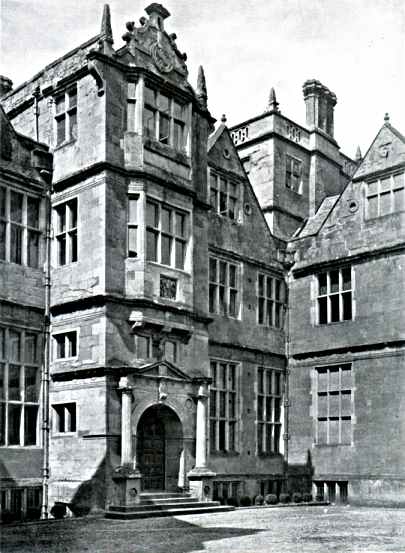
Condover Hall
Condover Hall is an elegant Grade I listed three-storey Elizabethan sandstone building, described as the grandest manor house in Shropshire, standing in...
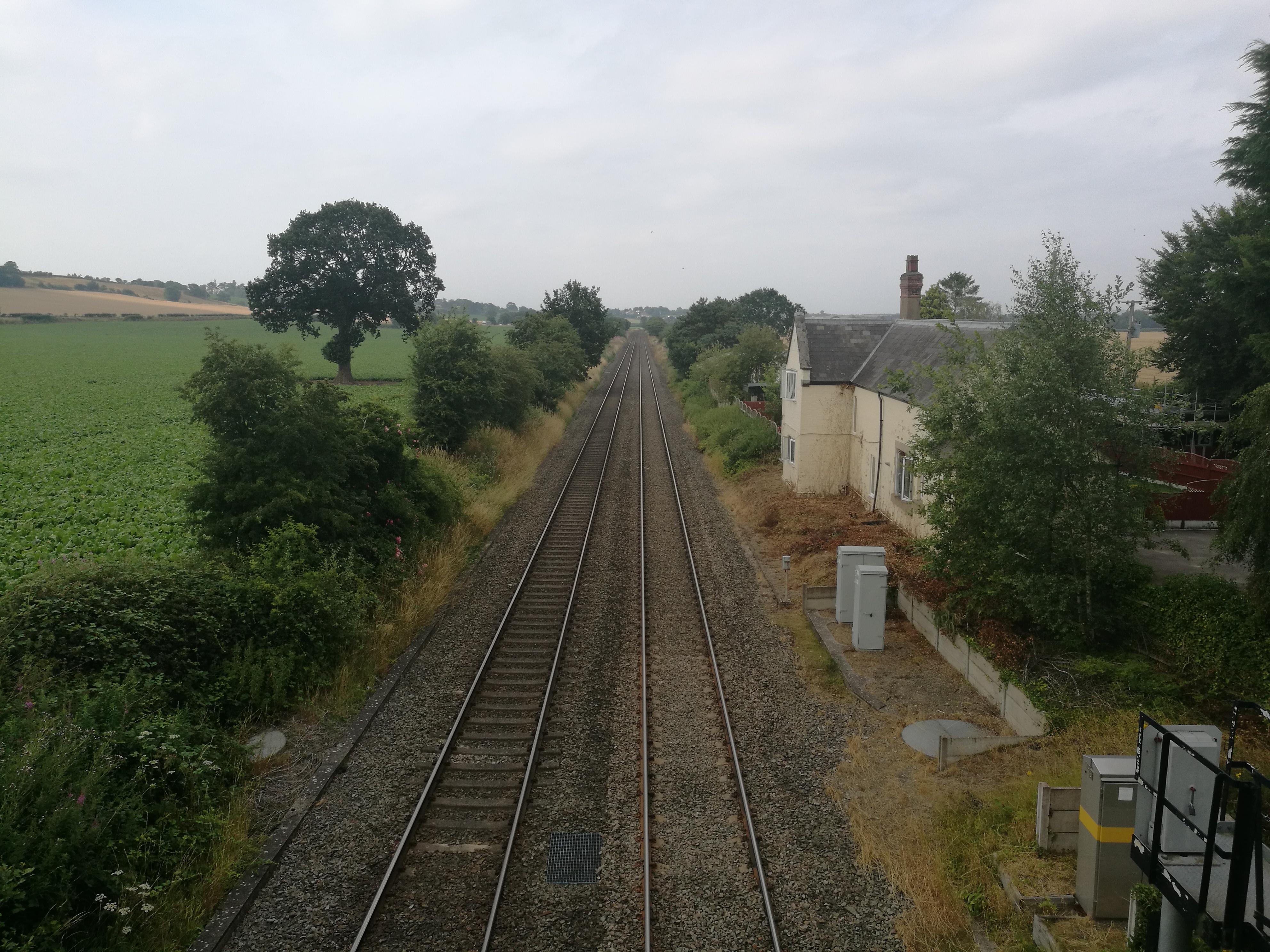
Condover railway station
Condover railway station was located in the village of Condover, Shropshire.Originally built by the Shrewsbury and Hereford Railway and opened in 1852...

Shrewsbury and Atcham (UK Parliament constituency)
Shrewsbury and Atcham is a constituency represented in the House of Commons of the UK Parliament since 2005 by Daniel Kawczynski, a Conservative.Under...
Nearby Amenities
Located within 500m of 52.648305,-2.750339Have you been to Condover?
Leave your review of Condover below (or comments, questions and feedback).