Parsonage Copse

Wood, Forest in Dorset

England

Parsonage Copse

Outbuilding at Girt Farm
Outbuilding at Girt Farm Credit: Roger Cornfoot

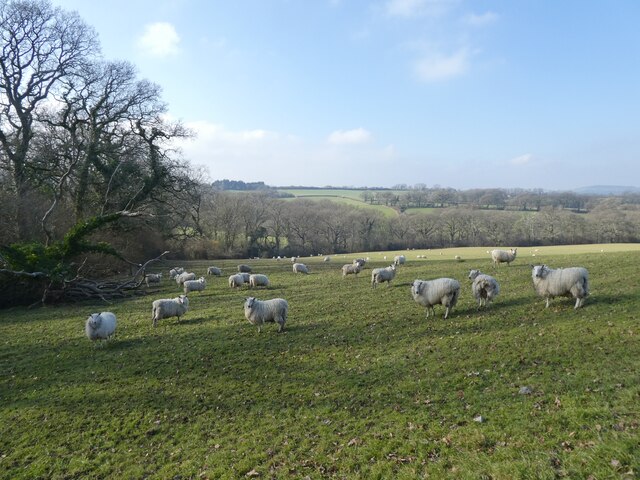
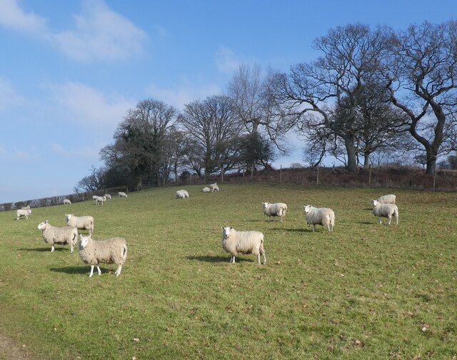
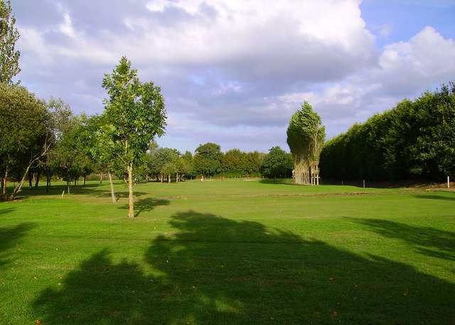
Parsonage Copse is a picturesque woodland located in the county of Dorset, England. Covering an area of approximately 100 acres, it is nestled within the rolling hills of the Dorset Downs, offering a tranquil escape for nature enthusiasts and outdoor lovers alike.

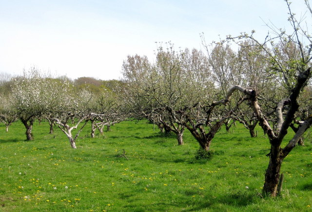
The copse is predominantly composed of a mix of broadleaf trees, including oak, beech, and ash, which create a dense canopy overhead, providing shade and shelter for a diverse range of wildlife. The forest floor is covered in a lush carpet of ferns, bluebells, and wildflowers, adding to the area's natural beauty.

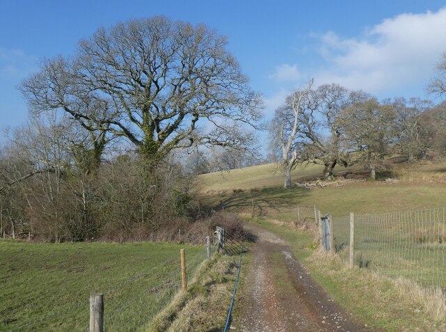
Traversing through Parsonage Copse, visitors will find a network of well-maintained footpaths, allowing for easy exploration of the woodland. These paths wind their way through the trees, leading to secluded clearings and peaceful glades, perfect for picnics or simply soaking in the serenity of the surroundings.

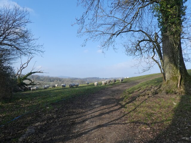
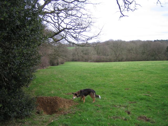
The copse is home to a variety of wildlife, including deer, badgers, foxes, and a plethora of bird species. Nature enthusiasts will delight in the opportunity to spot these creatures in their natural habitat, as well as observe the native flora that thrives in the woodland.

Parsonage Copse is a popular destination for outdoor activities such as hiking and nature walks, with its scenic beauty attracting visitors throughout the year. Whether it's a leisurely stroll through the trees or a more challenging hike along the forest trails, this Dorset woodland offers a peaceful retreat for those seeking solace in nature.

If you have any feedback on the listing, please let us know in the comments section below.

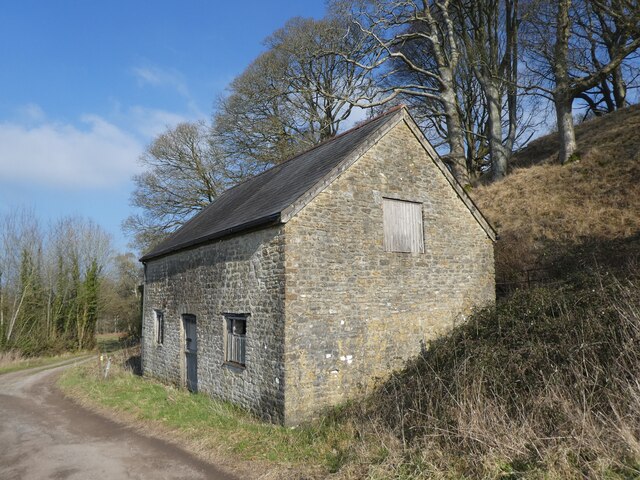
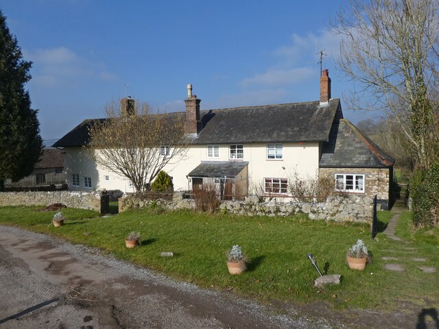
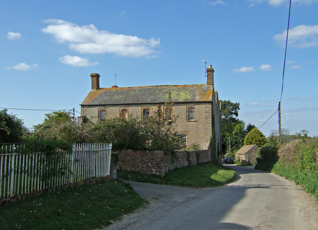
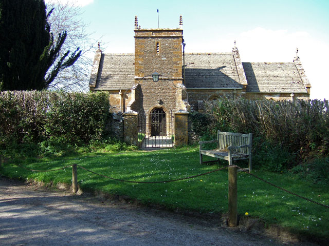
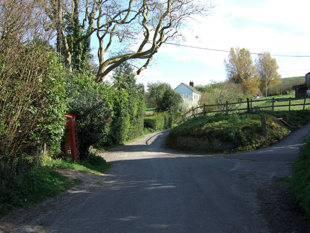
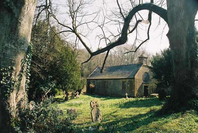
Parsonage Copse Images

Images are sourced within 2km of 50.861272/-2.6418459 or Grid Reference ST5407. Thanks to Geograph Open Source API. All images are credited.

Outbuilding at Girt Farm
Girt Farm Cottages
Girt Farm Cottages
Track to Clarkham Cross
Disturbing the sheep
Sheep on Girt Farm
Sheep on Girt Farm
More sheep at Girt Farm
Even more sheep at Girt Farm
Halstock: churchyard Note the stone roof tiles
Halstock: churchyard
Note the stone roof tiles
Halstock village green Halstock is outside Yeovil off the Dorchester rd. and is mentioned in the Domesday book
Halstock village green
Halstock is outside Yeovil off the Dorchester rd. and is mentioned in the Domesday book
The 18th. hole at Halstock Golf Club Picture taken from the third fairway
The 18th. hole at Halstock Golf Club
Picture taken from the third fairway
Fields Near Lewcombe Manor Fields and a freshly dug badger sett on the bridleway between Clarkham Cross and Lewcombe Manor.
Fields Near Lewcombe Manor
Fields and a freshly dug badger sett on the bridleway between Clarkham Cross and Lewcombe Manor.
East Chelborough
East Chelborough
East Chelborough Victorian Postbox and Noticeboard
Manor Farmhouse East Chelborough Early-mid C19 Grade II listed farmhouse.
Manor Farmhouse East Chelborough
Early-mid C19 Grade II listed farmhouse.
Church of St Andrew West Chelborough The tower dates from 1638, and the Chancel from 1751.
Church of St Andrew West Chelborough
The tower dates from 1638, and the Chancel from 1751.
West Chelborough south of the Church
East Chelborough: parish church of St. James Hardly anyone knows it's there – indeed a local Dorset guidebook describes East Chelborough as 'a parish with no church'! This is, however, a most secluded and peaceful spot and well worth the walk down the bridleway which is the driveway of Lewcombe Manor – one feels all the better when one arrives, safe in the knowledge that so few people have ever visited the place!
East Chelborough: parish church of St. James
Hardly anyone knows it's there – indeed a local Dorset guidebook describes East Chelborough as 'a parish with no church'! This is, however, a most secluded and peaceful spot and well worth the walk down the bridleway which is the driveway of Lewcombe Manor – one feels all the better when one arrives, safe in the knowledge that so few people have ever visited the place!
Halstock: grave of a man of three centuries This guy was born in the 1700s and died in the 1900s – just!
Halstock: grave of a man of three centuries
This guy was born in the 1700s and died in the 1900s – just!
Show me another place!

Parsonage Copse is located at Grid Ref: ST5407 (Lat: 50.861272, Lng: -2.6418459)

Unitary Authority: Dorset

Police Authority: Dorset

What 3 Words

///pioneered.lied.whirlwind. Near Yetminster, Dorset

Related Wikis

Adam's Green

Adam's Green is a hamlet near the village of Halstock in Dorset, England. == External links == Media related to Adam's Green at Wikimedia Commons
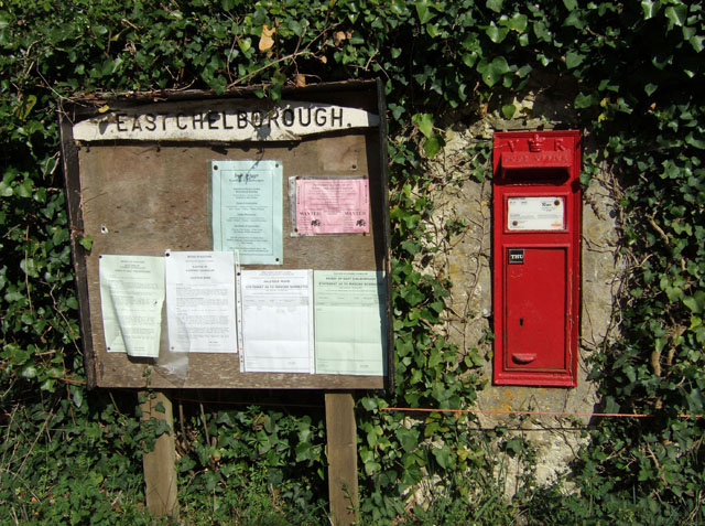
East Chelborough

East Chelborough is a small village and civil parish 7 miles (11 km) north-east of Beaminster in Dorset, England. Dorset County Council estimated in 2013...

Halstock

Halstock is a village and civil parish in the county of Dorset in southern England, situated approximately five miles (8.0 km) south of Yeovil in Somerset...

West Chelborough

West Chelborough is a village and civil parish 13 miles (21 km) northwest of Dorchester, in the Dorset district, in the county of Dorset, England. In 2001...

Nearby Amenities

Located within 500m of 50.861272,-2.6418459
Direction: 165
Generator Method: photovoltaic
Generator Output Electricity: yes
Generator Solar Modules: 16
Generator Source: solar
Generator Type: solar_photovoltaic_panel
Location: roof
Power: generator
Lat/Long: 50.862225/-2.6417103
Direction: 170
Generator Method: photovoltaic
Generator Output Electricity: yes
Generator Solar Modules: 8
Generator Source: solar
Generator Type: solar_photovoltaic_panel
Location: roof
Power: generator
Lat/Long: 50.86228/-2.6417603
Direction: 170
Generator Method: photovoltaic
Generator Output Electricity: yes
Generator Solar Modules: 9
Generator Source: solar
Generator Type: solar_photovoltaic_panel
Location: roof
Power: generator
Lat/Long: 50.8622957/-2.6416466
Direction: 170
Generator Method: photovoltaic
Generator Output Electricity: yes
Generator Solar Modules: 26
Generator Source: solar
Generator Type: solar_photovoltaic_panel
Location: roof
Power: generator
Lat/Long: 50.8617624/-2.6378822
The data included in this document is from www.openstreetmap.org. The data is made available under ODbL.

Have you been to Parsonage Copse?

Leave your review of Parsonage Copse below (or comments, questions and feedback).