Adam's Green

Settlement in Dorset

England

Adam's Green

More sheep at Girt Farm
More sheep at Girt Farm Credit: Roger Cornfoot

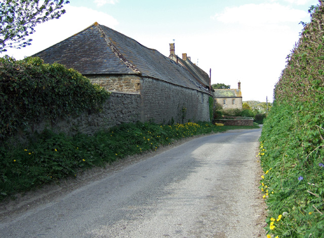
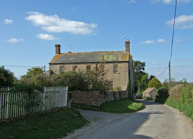
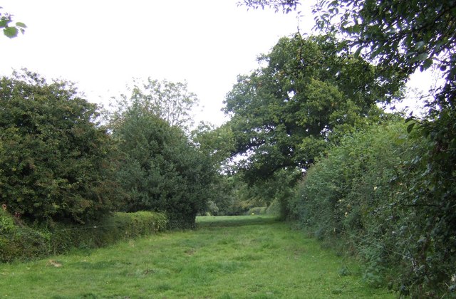
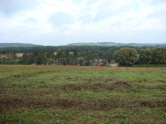
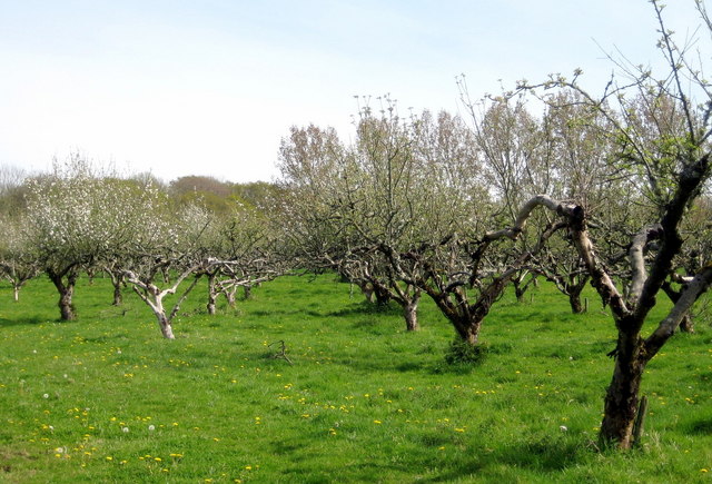
Adam's Green is a picturesque village located in the county of Dorset, England. Situated amidst the idyllic countryside, this charming village is well-known for its natural beauty and peaceful atmosphere. It is nestled between rolling green hills and surrounded by lush meadows, creating a serene and tranquil environment.

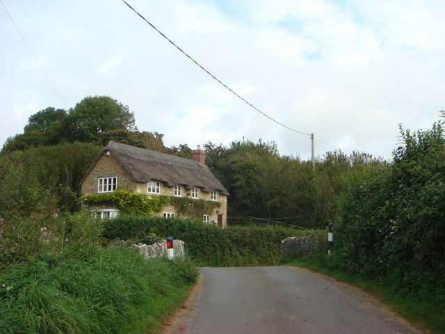
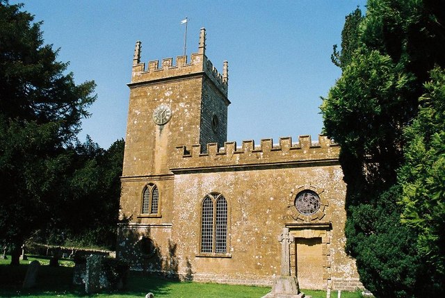
The village is named after Adam Green, a prominent landowner during the 18th century, whose family played a significant role in the development of the area. Today, Adam's Green retains much of its historical charm, with a number of well-preserved thatched cottages and traditional stone buildings dotting the landscape.

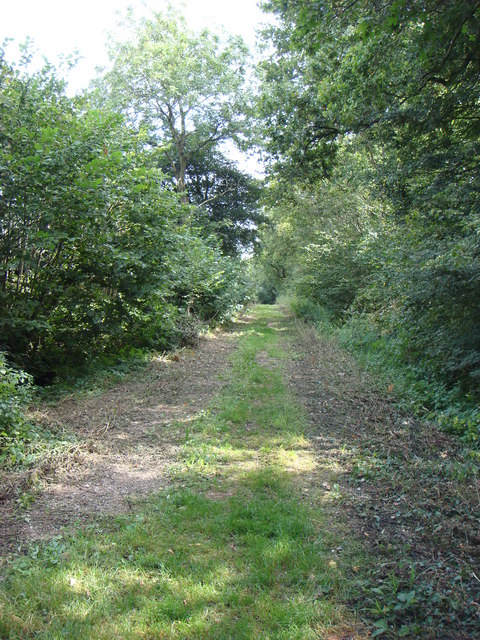
One of the main attractions in Adam's Green is its stunning countryside, which offers a plethora of outdoor activities for nature enthusiasts. The village is home to several walking and cycling trails that wind through the surrounding fields and woodlands, providing breathtaking views of the countryside.

In addition to its natural beauty, Adam's Green boasts a close-knit community that takes pride in its local heritage. The village has a small but thriving community center, where residents organize various events and activities throughout the year, fostering a sense of camaraderie among its inhabitants.

While Adam's Green is primarily a residential area, it is conveniently located near several amenities. The nearby town of Dorchester provides access to a range of shops, restaurants, and services. Additionally, the village is within easy reach of the stunning Jurassic Coast, a UNESCO World Heritage site renowned for its dramatic cliffs and fossil-rich beaches.

Overall, Adam's Green offers a tranquil escape from the hustle and bustle of city life, providing residents and visitors alike with a charming rural retreat in the heart of Dorset.

If you have any feedback on the listing, please let us know in the comments section below.
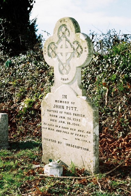
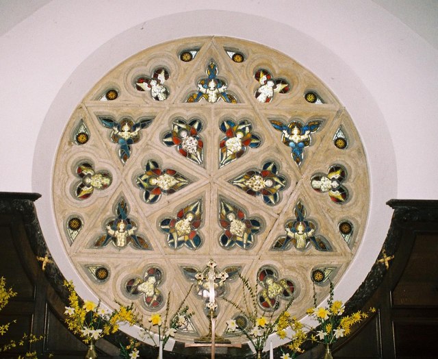
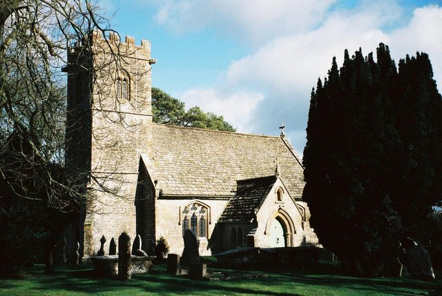
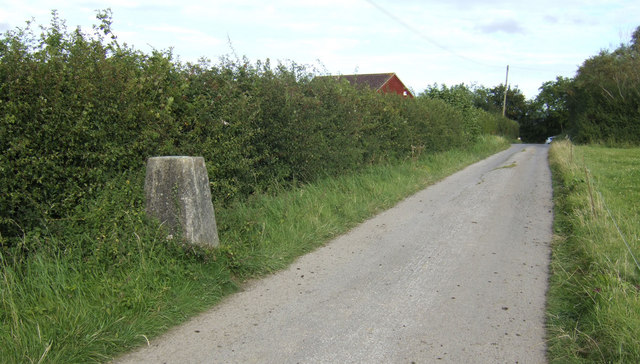
Adam's Green Images

Images are sourced within 2km of 50.866101/-2.6451806 or Grid Reference ST5407. Thanks to Geograph Open Source API. All images are credited.

More sheep at Girt Farm
Halstock: churchyard Note the stone roof tiles
Halstock: churchyard
Note the stone roof tiles
Halstock village green Halstock is outside Yeovil off the Dorchester rd. and is mentioned in the Domesday book
Halstock village green
Halstock is outside Yeovil off the Dorchester rd. and is mentioned in the Domesday book
The 18th. hole at Halstock Golf Club Picture taken from the third fairway
The 18th. hole at Halstock Golf Club
Picture taken from the third fairway
Fields Near Lewcombe Manor Fields and a freshly dug badger sett on the bridleway between Clarkham Cross and Lewcombe Manor.
Fields Near Lewcombe Manor
Fields and a freshly dug badger sett on the bridleway between Clarkham Cross and Lewcombe Manor.
East Chelborough
East Chelborough
East Chelborough Victorian Postbox and Noticeboard
Manor Farmhouse East Chelborough Early-mid C19 Grade II listed farmhouse.
Manor Farmhouse East Chelborough
Early-mid C19 Grade II listed farmhouse.
East Chelborough: parish church of St. James Hardly anyone knows it's there – indeed a local Dorset guidebook describes East Chelborough as 'a parish with no church'! This is, however, a most secluded and peaceful spot and well worth the walk down the bridleway which is the driveway of Lewcombe Manor – one feels all the better when one arrives, safe in the knowledge that so few people have ever visited the place!
East Chelborough: parish church of St. James
Hardly anyone knows it's there – indeed a local Dorset guidebook describes East Chelborough as 'a parish with no church'! This is, however, a most secluded and peaceful spot and well worth the walk down the bridleway which is the driveway of Lewcombe Manor – one feels all the better when one arrives, safe in the knowledge that so few people have ever visited the place!
Halstock: grave of a man of three centuries This guy was born in the 1700s and died in the 1900s – just!
Halstock: grave of a man of three centuries
This guy was born in the 1700s and died in the 1900s – just!
Clarkham Gross Farm Crossroads leading to Halstock
Clarkham Gross Farm
Crossroads leading to Halstock
Round window The east window of St. James's church, East Chelborough.
Round window
The east window of St. James's church, East Chelborough.
Halstock: parish church of St. Juthware and St. Mary Mid-18th century, apart from the 15th-century tower.
Halstock: parish church of St. Juthware and St. Mary
Mid-18th century, apart from the 15th-century tower.
Trig (117m) by the road to Harvard Farm Other local farm names include Liberty, Springfield and Marvel! Could be Pennsylvania!
Trig (117m) by the road to Harvard Farm
Other local farm names include Liberty, Springfield and Marvel! Could be Pennsylvania!
Bridleway east to Marvel Farm From Netherstoke, Dorset.
Bridleway east to Marvel Farm
From Netherstoke, Dorset.
Merrylands Farm and Clarke's Gorse
Legg's Bridge at the bottom of Abbot's Hill
Track heading East from Clarkham Cross
Show me another place!

Adam's Green is located at Grid Ref: ST5407 (Lat: 50.866101, Lng: -2.6451806)

Unitary Authority: Dorset

Police Authority: Dorset

Also known as: Adams Green

What 3 Words

///donor.alley.enormous. Near Yetminster, Dorset

Related Wikis

Adam's Green

Adam's Green is a hamlet near the village of Halstock in Dorset, England. == External links == Media related to Adam's Green at Wikimedia Commons

Halstock

Halstock is a village and civil parish in the county of Dorset in southern England, situated approximately five miles (8.0 km) south of Yeovil in Somerset...
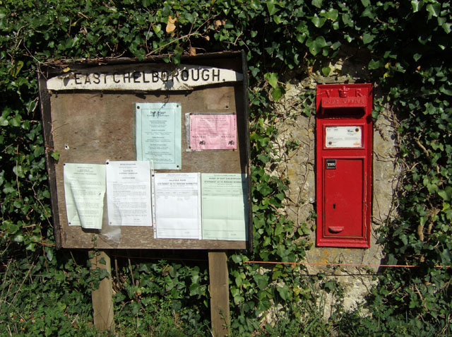
East Chelborough

East Chelborough is a small village and civil parish 7 miles (11 km) north-east of Beaminster in Dorset, England. Dorset County Council estimated in 2013...

West Chelborough

West Chelborough is a village and civil parish 13 miles (21 km) northwest of Dorchester, in the Dorset district, in the county of Dorset, England. In 2001...

Melbury Osmond

Melbury Osmond is a village and civil parish in the county of Dorset in southern England. It lies approximately 7 miles (11 km) south of the Somerset town...

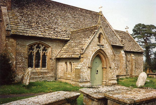
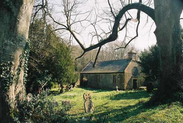
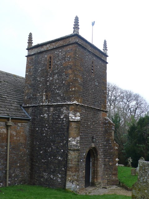
Church of All Saints, Closworth

The Church of All Saints in Closworth, Somerset, England was built in the 13th century. It is a Grade II* listed building. == History == The church was...

Melbury Sampford

Melbury Sampford is a village and civil parish 12 miles (19 km) northwest of Dorchester, in the Dorset district, in the ceremonial county of Dorset, England...
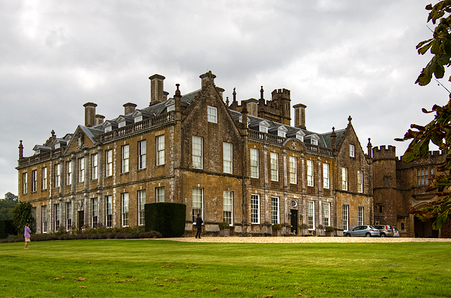
Melbury House

Melbury House is an English country house in the parish of Melbury Sampford near Evershot, Dorset, This Grade I listed mansion is the home of the Honorable...

Nearby Amenities

Located within 500m of 50.866101,-2.6451806
Material: wood
Power: pole
Source: bing
Lat/Long: 50.8685794/-2.6444984
Material: wood
Power: pole
Source: bing
Lat/Long: 50.8686573/-2.6422292
Material: wood
Power: pole
Source: bing
Lat/Long: 50.8687385/-2.6404375
Material: wood
Power: pole
Source: bing
Lat/Long: 50.8685032/-2.6464135
Material: wood
Power: pole
Source: bing
Lat/Long: 50.8670441/-2.6518852
Material: wood
Power: pole
Source: bing
Lat/Long: 50.8676568/-2.651051
Material: wood
Power: pole
Source: bing
Lat/Long: 50.868383/-2.6490957
Material: wood
Power: pole
Source: bing
Lat/Long: 50.8683238/-2.6504609
Direction: 165
Generator Method: photovoltaic
Generator Output Electricity: yes
Generator Solar Modules: 16
Generator Source: solar
Generator Type: solar_photovoltaic_panel
Location: roof
Power: generator
Lat/Long: 50.862225/-2.6417103
Direction: 185
Generator Method: photovoltaic
Generator Output Electricity: yes
Generator Solar Modules: 16
Generator Source: solar
Generator Type: solar_photovoltaic_panel
Location: roof
Power: generator
Lat/Long: 50.8663163/-2.6454788
Direction: 170
Generator Method: photovoltaic
Generator Output Electricity: yes
Generator Solar Modules: 8
Generator Source: solar
Generator Type: solar_photovoltaic_panel
Location: roof
Power: generator
Lat/Long: 50.86228/-2.6417603
Direction: 170
Generator Method: photovoltaic
Generator Output Electricity: yes
Generator Solar Modules: 9
Generator Source: solar
Generator Type: solar_photovoltaic_panel
Location: roof
Power: generator
Lat/Long: 50.8622957/-2.6416466
The data included in this document is from www.openstreetmap.org. The data is made available under ODbL.

Have you been to Adam's Green?

Leave your review of Adam's Green below (or comments, questions and feedback).