South Clarkham Copse
Wood, Forest in Dorset
England
South Clarkham Copse
South Clarkham Copse is a picturesque woodland located in the county of Dorset, in the southern region of England. Covering an area of approximately 50 acres, this copse is a prominent natural feature within the local landscape. It is situated in close proximity to the village of South Clarkham, which lends its name to the woodland.
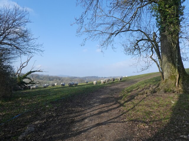
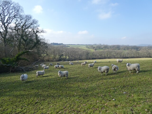
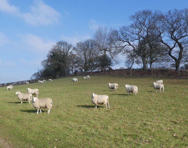
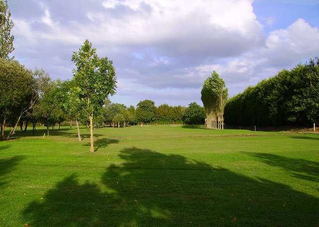
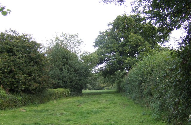
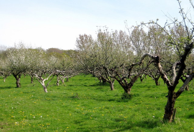
The copse is predominantly composed of broadleaf trees, including oak, beech, and ash, which create a dense canopy overhead. These trees provide a haven for a diverse range of flora and fauna, making South Clarkham Copse a popular destination for nature enthusiasts and wildlife observers.
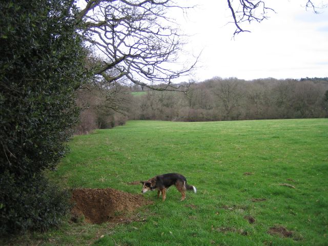
A network of well-maintained footpaths and trails crisscross the copse, allowing visitors to explore its natural beauty at their leisure. These paths provide access to various points of interest, such as secluded clearings, bubbling streams, and small ponds. Along the way, visitors may encounter an array of wildlife, including squirrels, badgers, and a variety of bird species.
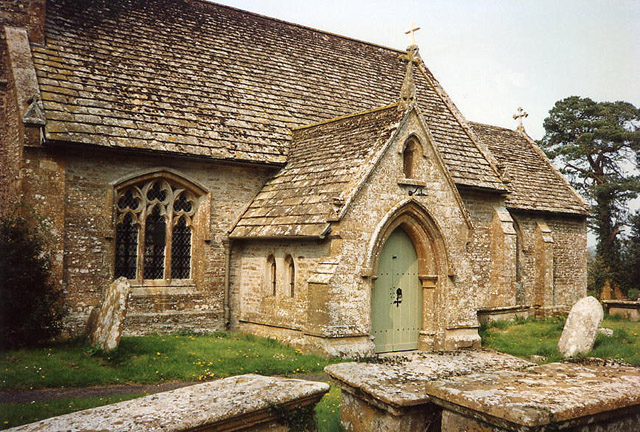
South Clarkham Copse is also known for its historical significance. It is believed to have ancient origins, with evidence of human presence dating back to the Neolithic period. Archaeological excavations in the area have unearthed tools and artifacts from this era, shedding light on the lives of early settlers.
Overall, South Clarkham Copse offers a tranquil and enchanting escape from the hustle and bustle of modern life. Its natural beauty, abundant wildlife, and rich history make it a cherished gem within the Dorset countryside.
If you have any feedback on the listing, please let us know in the comments section below.
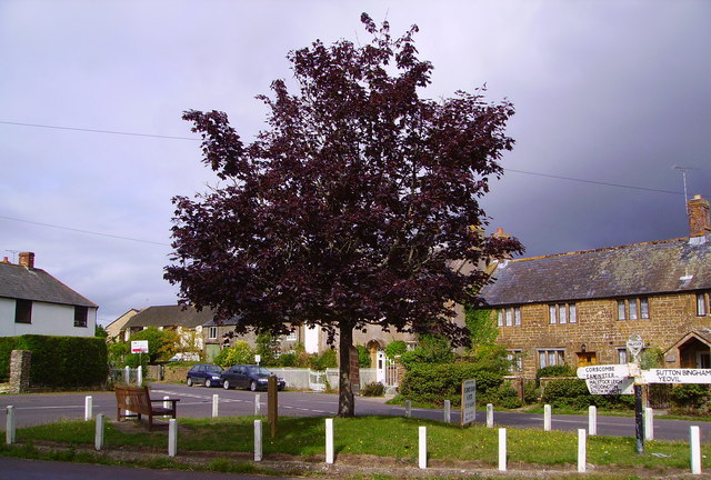
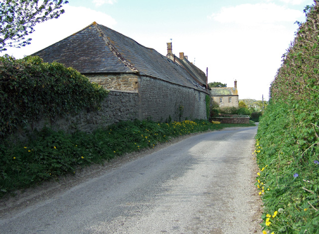
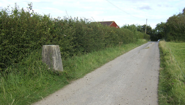
South Clarkham Copse Images
Images are sourced within 2km of 50.864745/-2.644835 or Grid Reference ST5407. Thanks to Geograph Open Source API. All images are credited.


South Clarkham Copse is located at Grid Ref: ST5407 (Lat: 50.864745, Lng: -2.644835)
Unitary Authority: Dorset
Police Authority: Dorset
What 3 Words
///creamed.plod.purest. Near Yetminster, Dorset
Related Wikis
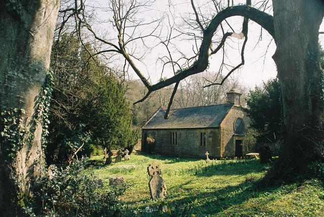
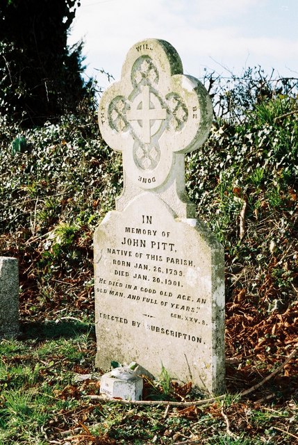
Adam's Green
Adam's Green is a hamlet near the village of Halstock in Dorset, England. == External links == Media related to Adam's Green at Wikimedia Commons

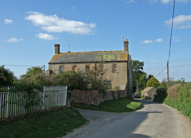
Halstock
Halstock is a village and civil parish in the county of Dorset in southern England, situated approximately five miles (8.0 km) south of Yeovil in Somerset...

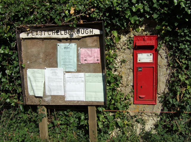
East Chelborough
East Chelborough is a small village and civil parish 7 miles (11 km) north-east of Beaminster in Dorset, England. Dorset County Council estimated in 2013...
West Chelborough
West Chelborough is a village and civil parish 13 miles (21 km) northwest of Dorchester, in the Dorset district, in the county of Dorset, England. In 2001...
Nearby Amenities
Located within 500m of 50.864745,-2.644835Have you been to South Clarkham Copse?
Leave your review of South Clarkham Copse below (or comments, questions and feedback).