Compton

Settlement in Wiltshire

England

Compton

West Chisenbury Farm, Wiltshire A hesco observation post on Salisbury Plain Training Area in the vicinity of West Chisenbury Farm. Hesco is the term for a modern military defensive system made of collapsible wire mesh containers with heavy-duty fabric liners, and used as a temporary to semi-permanent blast wall against small-arms fire and/or explosives. It has seen considerable use in Iraq and Afghanistan.
West Chisenbury Farm, Wiltshire Credit: Rebecca A Wills

Compton is a small village located in the county of Wiltshire, England. Situated approximately 14 miles south of the city of Salisbury, Compton is nestled in the picturesque Nadder Valley. It is a part of the civil parish of Fovant, which includes several other nearby settlements.

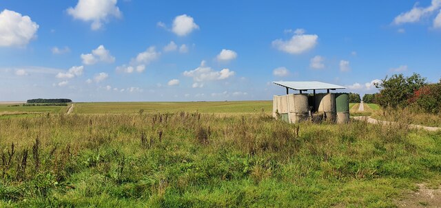
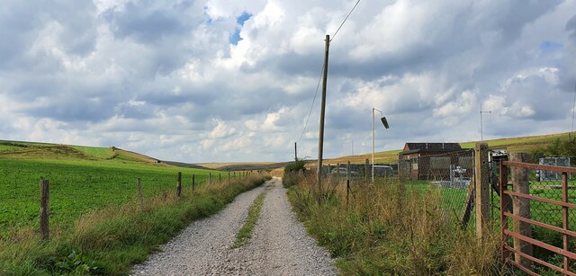
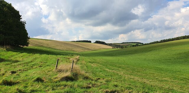
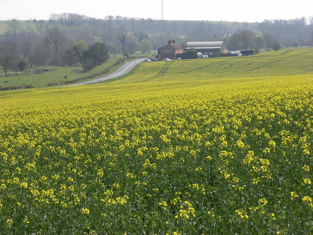
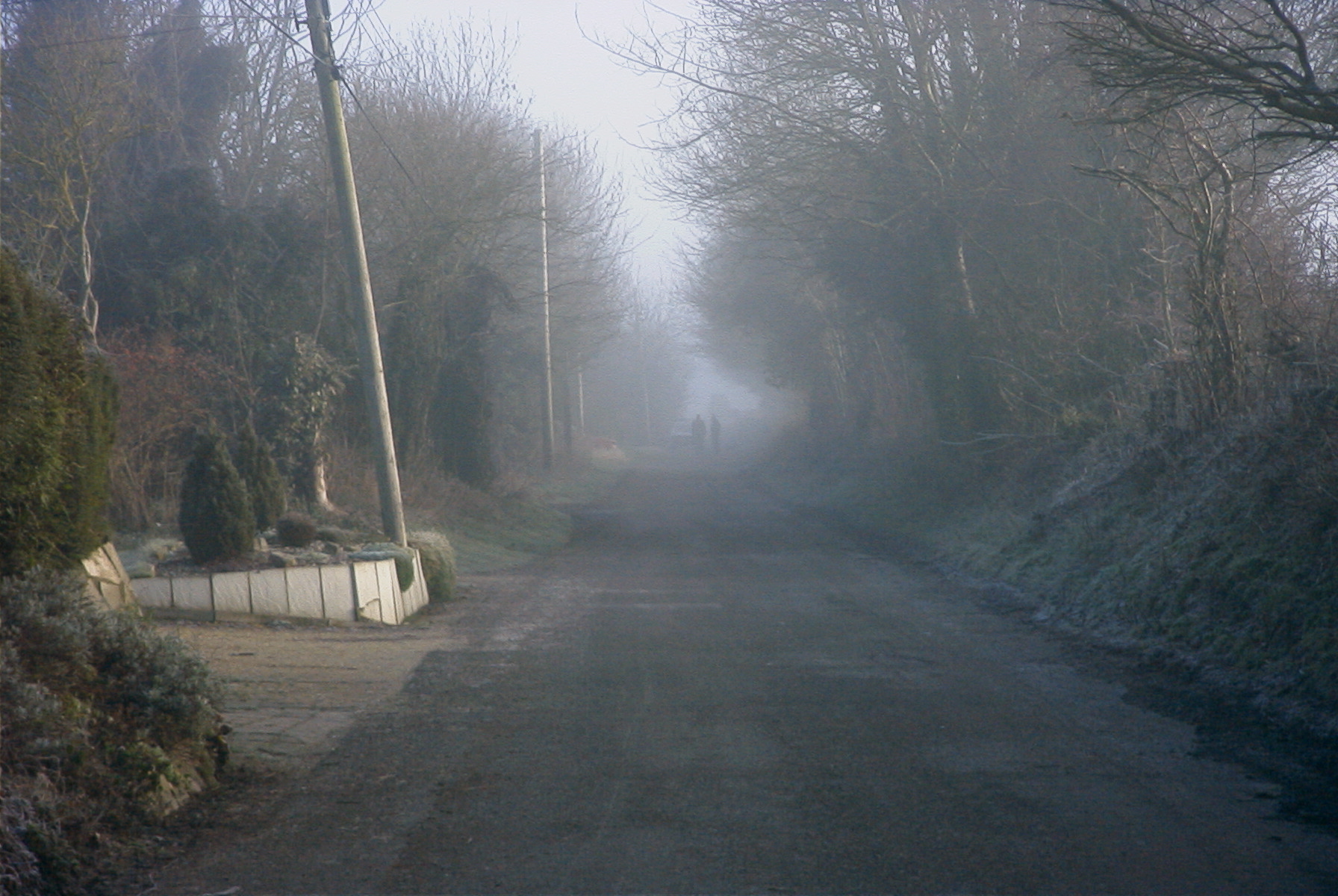
The village is known for its charming rural setting and quaint English countryside atmosphere. Compton is characterized by its traditional thatched-roof cottages, stone houses, and well-maintained gardens, which contribute to its idyllic charm. The Nadder River flows through the village, adding to the natural beauty of the area.

Compton has a close-knit community, with a population of around 300 residents. The village boasts a local pub, the "Compton Inn," which is a popular gathering spot for both locals and visitors alike. The pub offers a warm and friendly atmosphere, serving traditional English food and a wide selection of beverages.

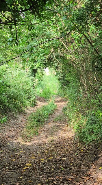
The surrounding countryside provides ample opportunities for outdoor activities such as hiking, cycling, and horse riding. The nearby Cranborne Chase Area of Outstanding Natural Beauty offers stunning landscapes and breathtaking views.

Compton is also known for its historical significance. The village is home to the ancient Church of St. Mary, which dates back to the 13th century. The church showcases remarkable architecture and houses several notable artifacts.

Overall, Compton, Wiltshire, is a charming village that offers a tranquil and scenic retreat for both residents and visitors seeking a taste of traditional English countryside living.

If you have any feedback on the listing, please let us know in the comments section below.
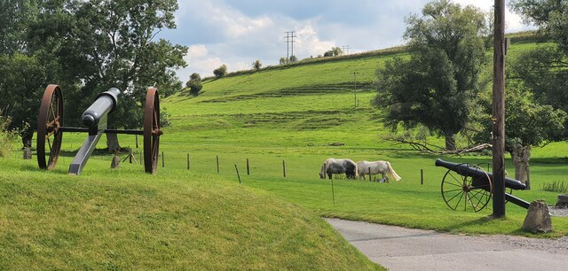
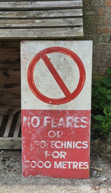
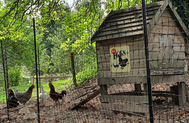
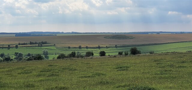
Compton Images

Images are sourced within 2km of 51.267038/-1.81134 or Grid Reference SU1352. Thanks to Geograph Open Source API. All images are credited.

West Chisenbury Farm, Wiltshire A hesco observation post on Salisbury Plain Training Area in the vicinity of West Chisenbury Farm. Hesco is the term for a modern military defensive system made of collapsible wire mesh containers with heavy-duty fabric liners, and used as a temporary to semi-permanent blast wall against small-arms fire and/or explosives. It has seen considerable use in Iraq and Afghanistan.
West Chisenbury Farm, Wiltshire
A hesco observation post on Salisbury Plain Training Area in the vicinity of West Chisenbury Farm. Hesco is the term for a modern military defensive system made of collapsible wire mesh containers with heavy-duty fabric liners, and used as a temporary to semi-permanent blast wall against small-arms fire and/or explosives. It has seen considerable use in Iraq and Afghanistan.
Water Dean Bottom, Wiltshire Pasture land on Salisbury Plain Training Area in the vicinity of Water Dean Bottom.
Water Dean Bottom, Wiltshire
Pasture land on Salisbury Plain Training Area in the vicinity of Water Dean Bottom.
Water Dean Bottom, Wiltshire Looking west along Water Dean Bottom into the Larkhill Artillery Range danger area.
Water Dean Bottom, Wiltshire
Looking west along Water Dean Bottom into the Larkhill Artillery Range danger area.
Water Dean Bottom, Wiltshire A water pumping station on Water Dean Bottom, in the vicinity of Compton Farm.
Water Dean Bottom, Wiltshire
A water pumping station on Water Dean Bottom, in the vicinity of Compton Farm.
Water Dean Bottom, Wiltshire Pasture land on Water Dean Bottom in the vicinity of Compton Farm.
Water Dean Bottom, Wiltshire
Pasture land on Water Dean Bottom in the vicinity of Compton Farm.
Compton Farm, Wiltshire A shady bridleway heading north in the vicinity of Compton Farm.
Compton Farm, Wiltshire
A shady bridleway heading north in the vicinity of Compton Farm.
Compton Farm, Wiltshire A cheery Zebedee sculpture standing on a gate post at Compton Farm.
Compton Farm, Wiltshire
A cheery Zebedee sculpture standing on a gate post at Compton Farm.
Compton Farm, Wiltshire Fully defended pasture land at Compton Farm!
Compton Farm, Wiltshire
Fully defended pasture land at Compton Farm!
Compton Farm, Wiltshire An old military danger sign in the grounds of Compton Farm.
Compton Farm, Wiltshire
An old military danger sign in the grounds of Compton Farm.
Compton Farm, Wiltshire A lovey sign reading 'Fresh Eggs' on the side of a chicken coup at Compton Farm.
Compton Farm, Wiltshire
A lovey sign reading 'Fresh Eggs' on the side of a chicken coup at Compton Farm.
West Chisenbury Farm, Wiltshire Looking over farmland in the vicinity of West Chisenbury Farm. In the far distance a large tumulus can be seen in a ploughed field.
West Chisenbury Farm, Wiltshire
Looking over farmland in the vicinity of West Chisenbury Farm. In the far distance a large tumulus can be seen in a ploughed field.
West Chisenbury Farm, Wiltshire Looking west along an old field boundary in the vicinity of West Chisenbury Farm.
West Chisenbury Farm, Wiltshire
Looking west along an old field boundary in the vicinity of West Chisenbury Farm.
Barn
Barn
That's why they call it a plain An astoundingly unexciting, indeed plain, view.  Obviously that's why it's Salisbury Plain.
That's why they call it a plain
An astoundingly unexciting, indeed plain, view. Obviously that's why it's Salisbury Plain.
Unmarked farm track One of the local farmers appears to use this track to gain access to the plain.
Unmarked farm track
One of the local farmers appears to use this track to gain access to the plain.
Bridleway and view towards Longstreet
Chalky track, Widdington Crossing the dry valley below Widdington Farm.
Chalky track, Widdington
Crossing the dry valley below Widdington Farm.
Oil-seed rape, West Chisenbury Looking down to West Chisenbury and the A345.
Oil-seed rape, West Chisenbury
Looking down to West Chisenbury and the A345.
Show me another place!

Compton is located at Grid Ref: SU1352 (Lat: 51.267038, Lng: -1.81134)

Unitary Authority: Wiltshire

Police Authority: Wiltshire

What 3 Words

///feasting.extensive.renewals. Near Rushall, Wiltshire

Related Wikis

Enford

Enford is a village and civil parish in Wiltshire, England, in the northeast of Salisbury Plain. The village lies 10 miles (16 km) southeast of Devizes...

Chisenbury Priory

Chisenbury Priory is a Grade II* listed house in East Chisenbury, Wiltshire, England. It dates from the later seventeenth century with a mid eighteenth...

A345 road

The A345 is a secondary A road in Wiltshire, England running from Salisbury to Marlborough and the A4. The road is a main south–north link across Salisbury...

Casterley Camp

Casterley Camp is the site of an Iron Age univallate hillfort in Wiltshire, England, about 1+1⁄2 miles (2.4 km) south-west of the village of Upavon. The...

Coombe, Enford

Coombe is a hamlet of the civil parish of Enford, Wiltshire, England, about 13 miles (21 km) north of the cathedral city of Salisbury. It lies on the River...

Chisenbury Camp

Chisenbury Camp is the site of an Iron Age univallate hillfort in Broad Chalke parish in Wiltshire, England. The site comprises a small circular 5-acre...

Fittleton cum Haxton

Fittleton cum Haxton is a civil parish in Wiltshire, England, 12 miles (19 km) north of Salisbury. The parish contains the adjacent settlements of Fittleton...

Upavon

Upavon is a rural village and civil parish in the county of Wiltshire, England. As its name suggests, it is on the upper portion of the River Avon which...

Nearby Amenities

Located within 500m of 51.267038,-1.81134
Compton
Created By: Potlatch 0.10f
Place: hamlet
Source: NPE
Lat/Long: 51.2675681/-1.813059
Odbl: clean
Lat/Long: 51.2713611/-1.8096954
Odbl: clean
Lat/Long: 51.2713022/-1.8099376
Odbl: clean
Lat/Long: 51.2713161/-1.8101452
Odbl: clean
Lat/Long: 51.2712676/-1.8103597
Odbl: clean
Lat/Long: 51.2711881/-1.8104411
Odbl: clean
Lat/Long: 51.27111/-1.8104564
Odbl: clean
Lat/Long: 51.2709459/-1.8104669
Odbl: clean
Lat/Long: 51.2707833/-1.8104808
Odbl: clean
Lat/Long: 51.2705757/-1.8105154
Odbl: clean
Lat/Long: 51.2701502/-1.8106434
Odbl: clean
Lat/Long: 51.2698942/-1.8106261
Odbl: clean
Lat/Long: 51.2695655/-1.8105638
Odbl: clean
Lat/Long: 51.2692714/-1.8104358
Odbl: clean
Lat/Long: 51.2690846/-1.8101867
Odbl: clean
Lat/Long: 51.2688251/-1.809692
Odbl: clean
Lat/Long: 51.2684965/-1.8090173
Odbl: clean
Lat/Long: 51.2683581/-1.8086645
Odbl: clean
Lat/Long: 51.2682197/-1.808149
Odbl: clean
Lat/Long: 51.2681851/-1.8078099
Odbl: clean
Lat/Long: 51.2682716/-1.8074121
Odbl: clean
Lat/Long: 51.268237/-1.8069727
Odbl: clean
Lat/Long: 51.2681159/-1.8068412
Odbl: clean
Lat/Long: 51.2678911/-1.8067375
Odbl: clean
Lat/Long: 51.2676143/-1.8067029
Odbl: clean
Lat/Long: 51.2673998/-1.8065818
Odbl: clean
Lat/Long: 51.2672752/-1.806523
Odbl: clean
Lat/Long: 51.2672683/-1.8064607
Odbl: clean
Lat/Long: 51.2673098/-1.8063569
Odbl: clean
Lat/Long: 51.2672441/-1.806305
Odbl: clean
Lat/Long: 51.2671126/-1.8060905
Odbl: clean
Lat/Long: 51.2670677/-1.8058656
Odbl: clean
Lat/Long: 51.267078/-1.8054643
Odbl: clean
Lat/Long: 51.2671126/-1.805146
Odbl: clean
Lat/Long: 51.2671057/-1.8049627
Odbl: clean
Lat/Long: 51.2671576/-1.8048347
Odbl: clean
Lat/Long: 51.267123/-1.8046686
Odbl: clean
Lat/Long: 51.2670296/-1.8044541
Archaeological Site: tumulus
Historic: archaeological_site
Lat/Long: 51.2641369/-1.8157115
Power: pole
Lat/Long: 51.2707727/-1.8082783
Power: pole
Lat/Long: 51.2695208/-1.8082836
Power: pole
Lat/Long: 51.2686096/-1.8083507
Power: pole
Lat/Long: 51.2675825/-1.8083882
Power: pole
Lat/Long: 51.2659228/-1.8083775
Power: pole
Lat/Long: 51.265144/-1.807082
Power: pole
Lat/Long: 51.2644912/-1.8060413
The data included in this document is from www.openstreetmap.org. The data is made available under ODbL.

Have you been to Compton?

Leave your review of Compton below (or comments, questions and feedback).