West Chisenbury

Settlement in Wiltshire

England

West Chisenbury

West Chisenbury Farm, Wiltshire A hesco observation post on Salisbury Plain Training Area in the vicinity of West Chisenbury Farm. Hesco is the term for a modern military defensive system made of collapsible wire mesh containers with heavy-duty fabric liners, and used as a temporary to semi-permanent blast wall against small-arms fire and/or explosives. It has seen considerable use in Iraq and Afghanistan.
West Chisenbury Farm, Wiltshire Credit: Rebecca A Wills

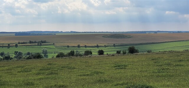
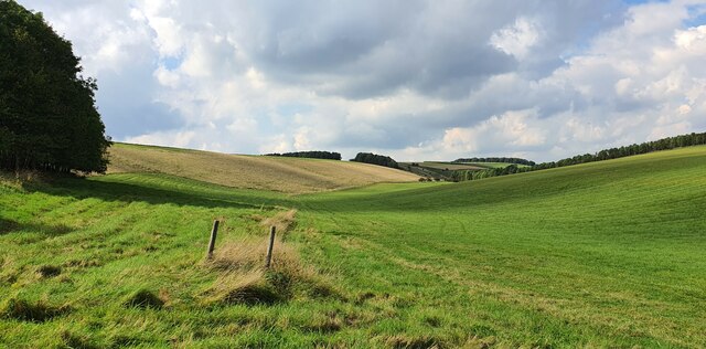
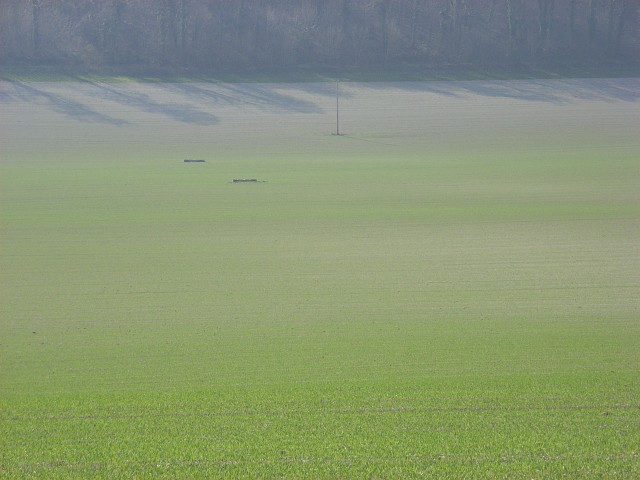
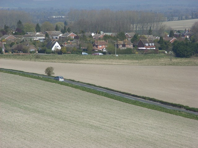
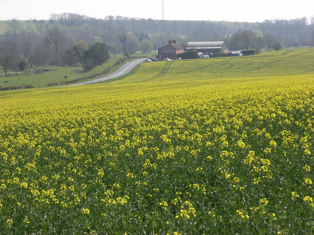
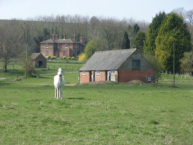
West Chisenbury is a small village located in the county of Wiltshire, England. Situated in the picturesque Salisbury Plain, it is surrounded by rolling hills and idyllic countryside. The village is part of the civil parish of Tilshead and lies approximately 15 miles northwest of the city of Salisbury.

With a population of around 200 residents, West Chisenbury exudes a tranquil and close-knit community atmosphere. The village is characterized by its charming thatched-roof cottages, some of which date back to the 17th century, giving it a distinctive historic feel. The local church, St. Mary's, is a notable landmark with its Norman architecture and serves as a focal point for the community.

Despite its small size, West Chisenbury enjoys a vibrant social scene, with regular community events and gatherings taking place throughout the year. The village pub, The Plough Inn, is a popular spot where locals and visitors can enjoy traditional British cuisine and a warm, friendly atmosphere.

The surrounding area offers ample opportunities for outdoor activities, with numerous walking and cycling routes that provide breathtaking views of the countryside. In addition, the nearby Salisbury Plain is renowned for its archaeological sites, including the iconic Stonehenge, attracting tourists from around the world.

Overall, West Chisenbury offers a charming and peaceful retreat for those seeking a rural lifestyle amidst the scenic beauty of Wiltshire.

If you have any feedback on the listing, please let us know in the comments section below.

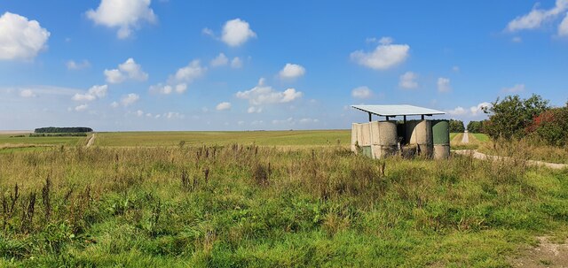
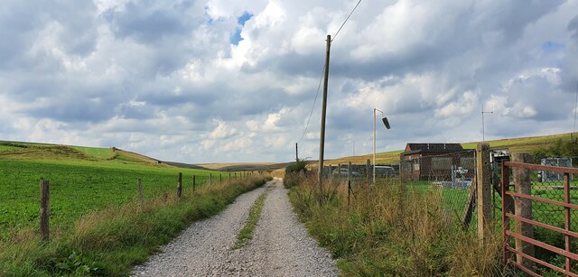
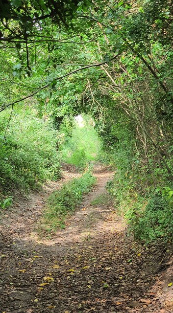
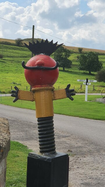
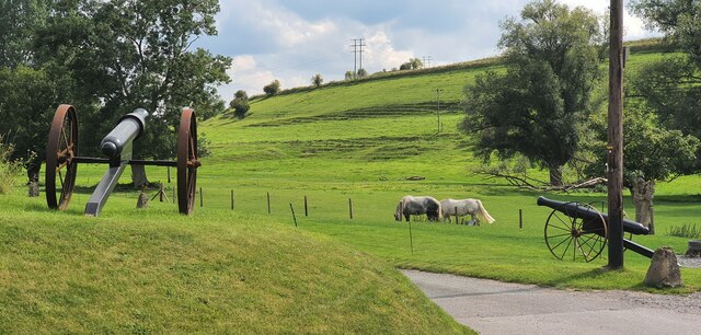
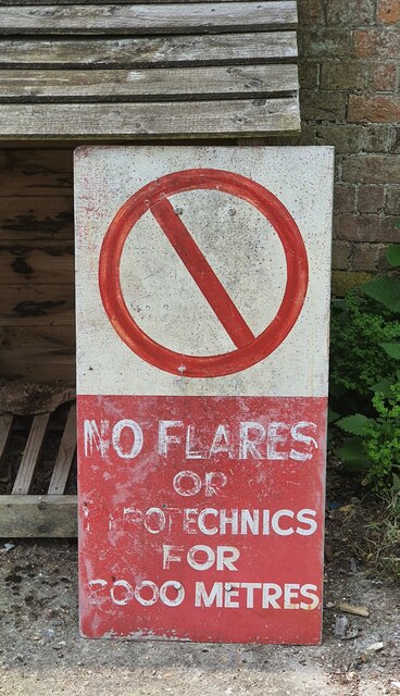
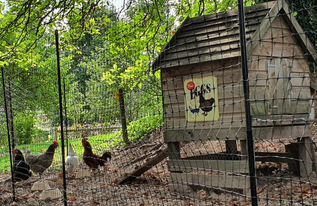
West Chisenbury Images

Images are sourced within 2km of 51.275139/-1.8051852 or Grid Reference SU1352. Thanks to Geograph Open Source API. All images are credited.

West Chisenbury Farm, Wiltshire A hesco observation post on Salisbury Plain Training Area in the vicinity of West Chisenbury Farm. Hesco is the term for a modern military defensive system made of collapsible wire mesh containers with heavy-duty fabric liners, and used as a temporary to semi-permanent blast wall against small-arms fire and/or explosives. It has seen considerable use in Iraq and Afghanistan.
West Chisenbury Farm, Wiltshire
A hesco observation post on Salisbury Plain Training Area in the vicinity of West Chisenbury Farm. Hesco is the term for a modern military defensive system made of collapsible wire mesh containers with heavy-duty fabric liners, and used as a temporary to semi-permanent blast wall against small-arms fire and/or explosives. It has seen considerable use in Iraq and Afghanistan.
Water Dean Bottom, Wiltshire Pasture land on Salisbury Plain Training Area in the vicinity of Water Dean Bottom.
Water Dean Bottom, Wiltshire
Pasture land on Salisbury Plain Training Area in the vicinity of Water Dean Bottom.
Water Dean Bottom, Wiltshire A water pumping station on Water Dean Bottom, in the vicinity of Compton Farm.
Water Dean Bottom, Wiltshire
A water pumping station on Water Dean Bottom, in the vicinity of Compton Farm.
Water Dean Bottom, Wiltshire Pasture land on Water Dean Bottom in the vicinity of Compton Farm.
Water Dean Bottom, Wiltshire
Pasture land on Water Dean Bottom in the vicinity of Compton Farm.
Compton Farm, Wiltshire A shady bridleway heading north in the vicinity of Compton Farm.
Compton Farm, Wiltshire
A shady bridleway heading north in the vicinity of Compton Farm.
Compton Farm, Wiltshire A cheery Zebedee sculpture standing on a gate post at Compton Farm.
Compton Farm, Wiltshire
A cheery Zebedee sculpture standing on a gate post at Compton Farm.
Compton Farm, Wiltshire Fully defended pasture land at Compton Farm!
Compton Farm, Wiltshire
Fully defended pasture land at Compton Farm!
Compton Farm, Wiltshire An old military danger sign in the grounds of Compton Farm.
Compton Farm, Wiltshire
An old military danger sign in the grounds of Compton Farm.
Compton Farm, Wiltshire A lovey sign reading 'Fresh Eggs' on the side of a chicken coup at Compton Farm.
Compton Farm, Wiltshire
A lovey sign reading 'Fresh Eggs' on the side of a chicken coup at Compton Farm.
West Chisenbury Farm, Wiltshire Looking over farmland in the vicinity of West Chisenbury Farm. In the far distance a large tumulus can be seen in a ploughed field.
West Chisenbury Farm, Wiltshire
Looking over farmland in the vicinity of West Chisenbury Farm. In the far distance a large tumulus can be seen in a ploughed field.
West Chisenbury Farm, Wiltshire Looking west along an old field boundary in the vicinity of West Chisenbury Farm.
West Chisenbury Farm, Wiltshire
Looking west along an old field boundary in the vicinity of West Chisenbury Farm.
Barn
Barn
That's why they call it a plain An astoundingly unexciting, indeed plain, view.  Obviously that's why it's Salisbury Plain.
That's why they call it a plain
An astoundingly unexciting, indeed plain, view. Obviously that's why it's Salisbury Plain.
Farmland, Upavon Looking down to Rowden's Cleeve. The field boundaries shown by the Ordnance Survey no longer apply. There is just one large field stretching up from the A342 to the golf course.
Farmland, Upavon
Looking down to Rowden's Cleeve. The field boundaries shown by the Ordnance Survey no longer apply. There is just one large field stretching up from the A342 to the golf course.
Southern edge of Upavon Looking across the stretch of A road (not numbered by the Ordnance Survey) linking the A342 and the A345.
Southern edge of Upavon
Looking across the stretch of A road (not numbered by the Ordnance Survey) linking the A342 and the A345.
Chalky track, Widdington Crossing the dry valley below Widdington Farm.
Chalky track, Widdington
Crossing the dry valley below Widdington Farm.
Oil-seed rape, West Chisenbury Looking down to West Chisenbury and the A345.
Oil-seed rape, West Chisenbury
Looking down to West Chisenbury and the A345.
West Chisenbury Farm Looking up from the west side of the Avon.
West Chisenbury Farm
Looking up from the west side of the Avon.
Show me another place!

West Chisenbury is located at Grid Ref: SU1352 (Lat: 51.275139, Lng: -1.8051852)

Unitary Authority: Wiltshire

Police Authority: Wiltshire

What 3 Words

///arranged.keeps.reflected. Near Rushall, Wiltshire

Related Wikis

Chisenbury Priory

Chisenbury Priory is a Grade II* listed house in East Chisenbury, Wiltshire, England. It dates from the later seventeenth century with a mid eighteenth...

Enford

Enford is a village and civil parish in Wiltshire, England, in the northeast of Salisbury Plain. The village lies 10 miles (16 km) southeast of Devizes...

Chisenbury Camp

Chisenbury Camp is the site of an Iron Age univallate hillfort in Broad Chalke parish in Wiltshire, England. The site comprises a small circular 5-acre...

Upavon

Upavon is a rural village and civil parish in the county of Wiltshire, England. As its name suggests, it is on the upper portion of the River Avon which...

Upavon Priory

Upavon Priory was a small priory in Wiltshire, England. Domesday Book in 1086 recorded land at Upavon held by the Benedictine monastery of Saint-Wandrille...

Casterley Camp

Casterley Camp is the site of an Iron Age univallate hillfort in Wiltshire, England, about 1+1⁄2 miles (2.4 km) south-west of the village of Upavon. The...

James Anderson Slater

Flight Lieutenant James Anderson Slater (27 November 1896 – 26 November 1925) was a British First World War flying ace, credited with 24 aerial victories...

A345 road

The A345 is a secondary A road in Wiltshire, England running from Salisbury to Marlborough and the A4. The road is a main south–north link across Salisbury...

Nearby Amenities

Located within 500m of 51.275139,-1.8051852
West Chisenbury
Place: hamlet
Lat/Long: 51.2746449/-1.8053811
Odbl: clean
Lat/Long: 51.2794566/-1.8061216
Odbl: clean
Lat/Long: 51.2793009/-1.8060697
Odbl: clean
Lat/Long: 51.2790656/-1.8060351
Odbl: clean
Lat/Long: 51.27891/-1.8061113
Odbl: clean
Lat/Long: 51.2787646/-1.8061216
Odbl: clean
Lat/Long: 51.2785398/-1.8061216
Odbl: clean
Lat/Long: 51.2783564/-1.8060697
Odbl: clean
Lat/Long: 51.2781661/-1.8059383
Odbl: clean
Lat/Long: 51.2780104/-1.805793
Odbl: clean
Lat/Long: 51.2778132/-1.8054816
Odbl: clean
Lat/Long: 51.2775676/-1.8050146
Odbl: clean
Lat/Long: 51.2772666/-1.8045544
Odbl: clean
Lat/Long: 51.2770418/-1.8042119
Odbl: clean
Lat/Long: 51.2718039/-1.8081524
Odbl: clean
Lat/Long: 51.2716655/-1.8086541
East Chisenbury
Place: hamlet
Lat/Long: 51.2733534/-1.8001277
Bench
Backrest: yes
Material: wood
Lat/Long: 51.2746868/-1.8011114
Power: pole
Lat/Long: 51.2747211/-1.802018
Power: pole
Lat/Long: 51.2737512/-1.8035549
Power: pole
Lat/Long: 51.2728569/-1.8049014
Power: pole
Lat/Long: 51.272043/-1.8062773
Power: pole
Lat/Long: 51.2792933/-1.8026751
Power: pole
Lat/Long: 51.278144/-1.8024552
Power: pole
Lat/Long: 51.2766742/-1.8021816
Power: pole
Lat/Long: 51.2755903/-1.801959
Power: pole
Lat/Long: 51.2756591/-1.802077
Barrier: stile
Lat/Long: 51.274029/-1.8063256
Post Box
Brand: Royal Mail
Brand Wikidata: Q638098
Collection Times: Mo-Fr 16:00; Sa 07:00
Drive Through: no
Operator: Royal Mail
Operator Wikidata: Q638098
Post Box Type: wall
Ref: SN9 6
Royal Cypher: VR
Royal Cypher Wikidata: Q33102356
Lat/Long: 51.2739422/-1.8001698
The data included in this document is from www.openstreetmap.org. The data is made available under ODbL.

Have you been to West Chisenbury?

Leave your review of West Chisenbury below (or comments, questions and feedback).