Compton

Settlement in Staffordshire

England

Compton

Community Orchard The view in the Smestow Nature Reserve, Tettenhall.
Community Orchard Credit: Gordon Griffiths

Compton is a small village located in the county of Staffordshire, England. Situated approximately 5 miles southwest of the county town of Stafford, Compton is nestled amidst the lush greenery of the Staffordshire countryside. The village is part of the civil parish of Seighford and falls within the administrative district of Stafford.

Compton boasts a charming and picturesque setting, with its traditional stone-built houses and well-maintained gardens. The village is known for its peaceful and tranquil atmosphere, offering a serene escape from the bustling city life. The surrounding countryside provides ample opportunities for outdoor activities, such as hiking, cycling, and nature walks.

The community of Compton is relatively small, with a close-knit population that values its strong sense of community. The village is home to a local church, St. Mary's, which dates back to the 12th century and stands as a testament to its rich history. Additionally, Compton has a village hall that serves as a gathering place for various social events and meetings.

While Compton is primarily a residential area, it benefits from its proximity to the nearby town of Stafford, which offers a range of amenities including shops, supermarkets, schools, and healthcare facilities. The village is well-connected by road, with the A518 passing through, providing convenient access to the wider region.

Overall, Compton offers a peaceful rural lifestyle with a strong sense of community, making it an attractive place to live for those seeking a quieter and more relaxed environment while still having access to nearby amenities.

If you have any feedback on the listing, please let us know in the comments section below.
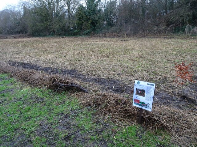
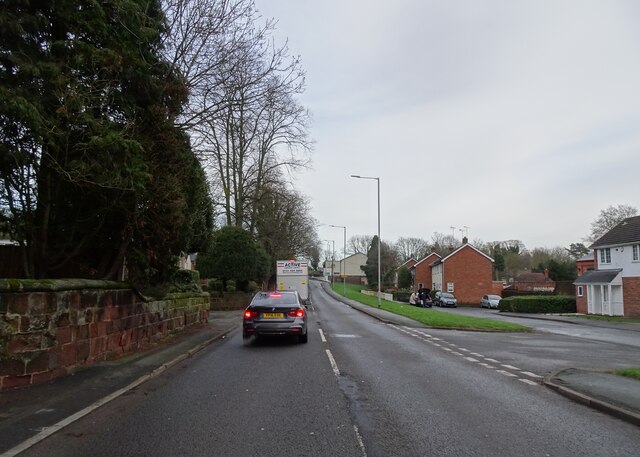
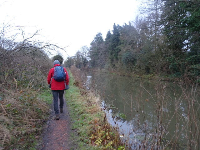
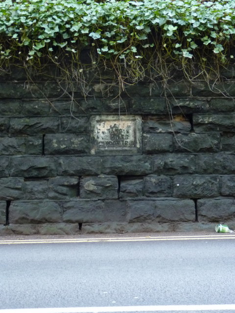
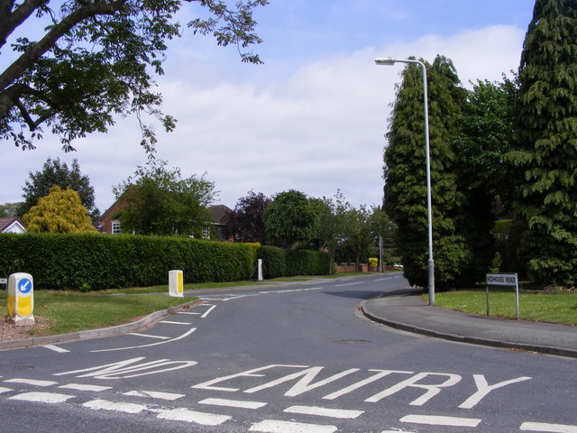
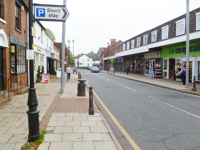
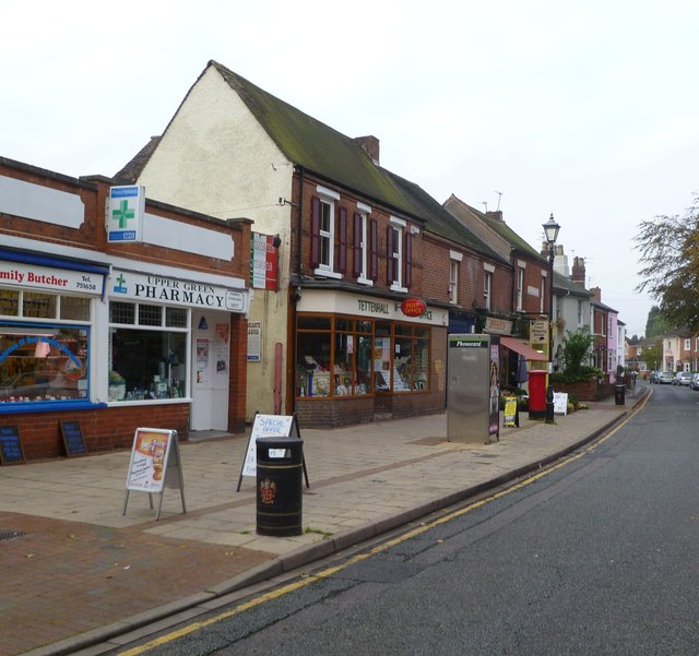
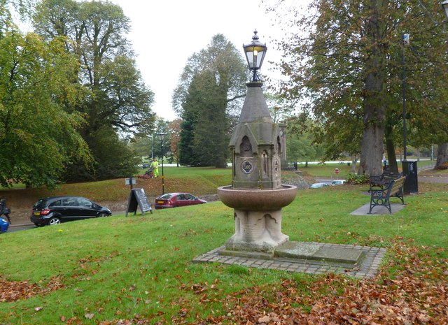
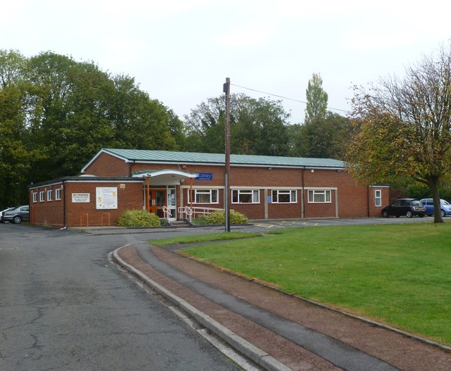
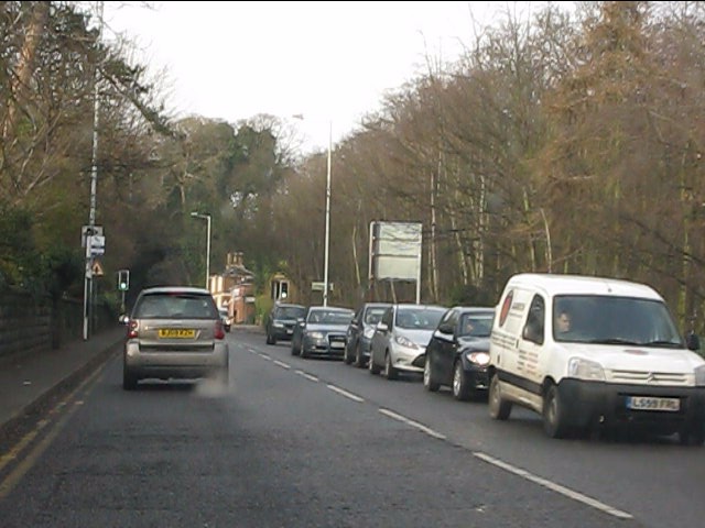
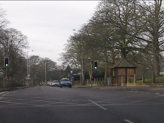
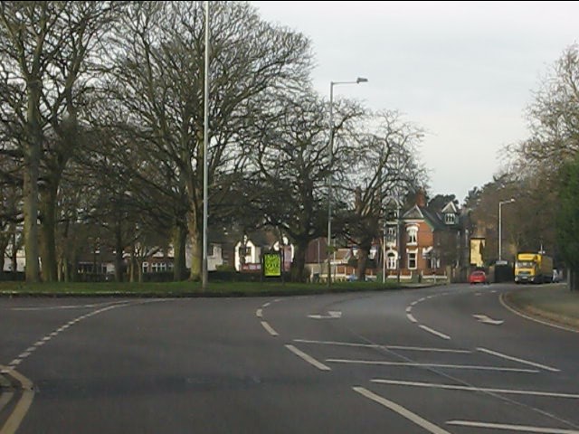
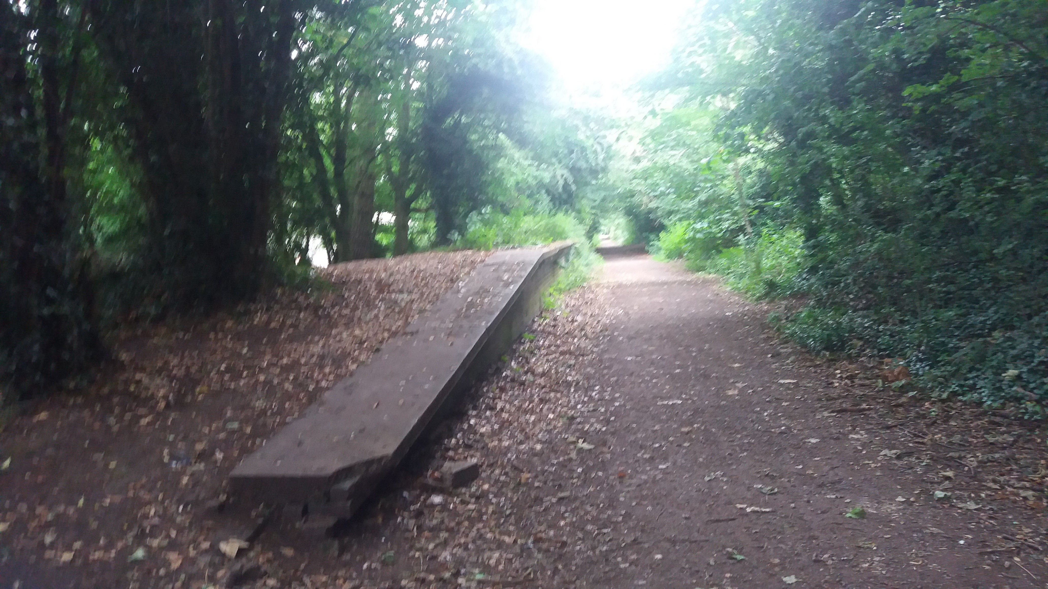
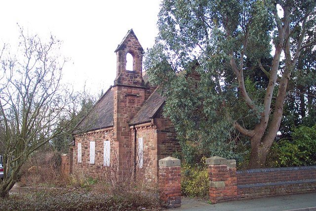
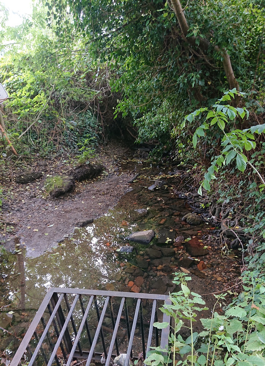
Compton Images

Images are sourced within 2km of 52.584247/-2.171176 or Grid Reference SO8898. Thanks to Geograph Open Source API. All images are credited.

Community Orchard The view in the Smestow Nature Reserve, Tettenhall.
Community Orchard
The view in the Smestow Nature Reserve, Tettenhall.
Henwood Road View The view down the Tettenhall road in Wolverhampton.
Henwood Road View
The view down the Tettenhall road in Wolverhampton.
Towpath View The view towards Tettenhall along the Staffordshire and Worcestershire Canal.
Towpath View
The view towards Tettenhall along the Staffordshire and Worcestershire Canal.
Muddy Path The view in Castlecroft near the Smestow School and the South Staffordshire Railway Walk in Wolverhampton.
Muddy Path
The view in Castlecroft near the Smestow School and the South Staffordshire Railway Walk in Wolverhampton.
Tettenhall Rock milestone - detail Set into the retaining wall on the 'uphill' side of the cutting on Tettenhall Rock, few people probably even see this one - I've passed it almost every day for 20-odd years, and only spotted it a fortnight ago.
The lettering is cut into the stone, somewhat faded and indistinct now, and states Salop 25, Wolverhampton 2 and London 123.
Tettenhall Rock milestone - detail
Set into the retaining wall on the 'uphill' side of the cutting on Tettenhall Rock, few people probably even see this one - I've passed it almost every day for 20-odd years, and only spotted it a fortnight ago. The lettering is cut into the stone, somewhat faded and indistinct now, and states Salop 25, Wolverhampton 2 and London 123.
Redhouse Road The view from Woodthorne Road South, Wolverhampton.
Redhouse Road
The view from Woodthorne Road South, Wolverhampton.
Tettenhall High Street Looking towards Upper Green; the high street currently offers a foodstore, newsagents and several independent shops, including a butchery.
Tettenhall High Street
Looking towards Upper Green; the high street currently offers a foodstore, newsagents and several independent shops, including a butchery.
Tettenhall Post Office On Upper Green.
Tettenhall Post Office
On Upper Green.
Tettenhall, drinking fountain On Upper Green; according to a plaque, installed in 1890, and re-located and restored as a millennium project in 2000.
Tettenhall, drinking fountain
On Upper Green; according to a plaque, installed in 1890, and re-located and restored as a millennium project in 2000.
Tettenhall Library Off Upper Street, maintained by Wolverhampton City Council: <span class="nowrap"><a title="http://www.wolverhampton.gov.uk/leisure_culture/libraries/branch/tettenhall.htm" rel="nofollow ugc noopener" href="http://www.wolverhampton.gov.uk/leisure_culture/libraries/branch/tettenhall.htm">Link</a><img style="margin-left:2px;" alt="External link" title="External link - shift click to open in new window" src="https://s1.geograph.org.uk/img/external.png" width="10" height="10"/></span>
Tettenhall Library
Off Upper Street, maintained by Wolverhampton City Council: LinkExternal link
The Rock (A41) north of Henwood Road traffic lights
The Rock (A41) at Stockwell Road crossroads
A41 at Woods Road
A41 at Woods Road
Stockwell End/Tettenhall Park
Tettenhall, The Rock Cutting through a sandstone ridge on A41. The cutting was built by the Wolverhampton Turnpike Trust in 1823.
Tettenhall, The Rock
Cutting through a sandstone ridge on A41. The cutting was built by the Wolverhampton Turnpike Trust in 1823.
Tettenhall, Lower Green One of two greens in the village.
Tettenhall, Lower Green
One of two greens in the village.
Tettenhall, primary school St Michael's C.E.(A) Primary School, on Lower Street. There is a stone plaque beneath the gable, with "National School"; modern buildings are behind, out of sight. <span class="nowrap"><a title="http://www.stmichaelsce.org.uk/about.html" rel="nofollow ugc noopener" href="http://www.stmichaelsce.org.uk/about.html">Link</a><img style="margin-left:2px;" alt="External link" title="External link - shift click to open in new window" src="https://s1.geograph.org.uk/img/external.png" width="10" height="10"/></span>
Tettenhall, primary school
St Michael's C.E.(A) Primary School, on Lower Street. There is a stone plaque beneath the gable, with "National School"; modern buildings are behind, out of sight. LinkExternal link
Tettenhall, health centre Lower Green Health Centre, on Aldersley Road: <span class="nowrap"><a title="http://www.tettenhallmedicalpractice.nhs.uk/contact-us-3/" rel="nofollow ugc noopener" href="http://www.tettenhallmedicalpractice.nhs.uk/contact-us-3/">Link</a><img style="margin-left:2px;" alt="External link" title="External link - shift click to open in new window" src="https://s1.geograph.org.uk/img/external.png" width="10" height="10"/></span>
Tettenhall, health centre
Lower Green Health Centre, on Aldersley Road: LinkExternal link
Show me another place!

Compton is located at Grid Ref: SO8898 (Lat: 52.584247, Lng: -2.171176)

Unitary Authority: Wolverhampton

Police Authority: West Midlands

What 3 Words

///softly.slips.joke. Near Wolverhampton, West Midlands

Nearby Locations

Compton

Related Wikis

Compton Halt railway station

Compton Halt was a small single platform halt on the Wombourne Branch Line. It was opened by the Great Western Railway in 1925 and closed in 1932. Poor...

Compton, Wolverhampton

Compton is a suburb of Wolverhampton, West Midlands, England. It is located to the west of Wolverhampton city centre on the A454, within the Tettenhall...

Wolverhampton South West (UK Parliament constituency)

Wolverhampton South West is a constituency created in 1950 represented in the House of Commons of the UK Parliament since 2019 by Stuart Anderson of the...

Finchfield

Finchfield is a suburb of Wolverhampton, West Midlands, England. It is located south-west of the city centre, within the Tettenhall Wightwick Ward between...

Tettenhall Wightwick (ward)

Tettenhall Wightwick is a ward of Wolverhampton City Council, West Midlands. The population of this ward taken at the 2011 census was 10,872. == Geography... ==

St Edmund's Catholic Academy

St Edmund's Catholic Academy is a Roman Catholic secondary school and sixth form with academy status located in the Compton area of Wolverhampton, West...

Merridale

Merridale is an area of Wolverhampton, West Midlands, England. It is situated to the south-west of the city centre, on the border of the city council...

Tettenhall Wood

Tettenhall Wood is a suburb of Wolverhampton, West Midlands, England. It is west of Wolverhampton city centre, within the Tettenhall Wightwick ward. It...

Nearby Amenities

Located within 500m of 52.584247,-2.171176
Crossing
Crossing: uncontrolled
Lat/Long: 52.5808593/-2.1720637
Crossing
Crossing Ref: zebra
Source: visual surevy;bing
Lat/Long: 52.5871154/-2.174541
Mini Roundabout
Direction: clockwise
Lat/Long: 52.580599/-2.1721342
Seamark Type: gate
Source: bing
Waterway: lock_gate
Lat/Long: 52.5881191/-2.1726241
Crossing
Crossing: uncontrolled
Lat/Long: 52.580859/-2.1720127
Compton
Created By: Potlatch 0.10f
Is In: Wolverhampton
Place: suburb
Lat/Long: 52.5879628/-2.1703477
Bus Stop
Finchfield Hill / White Oak Drive
NaPTANAreaCode: 43000739201
Bus: yes
Naptan AtcoCode: 43000739201
Naptan Bearing: S
Naptan BusStopType: MKD
Naptan CommonName: White Oak Drive
Naptan Indicator: opp
Naptan NaptanCode: nwmjmapt
Naptan PlusbusZoneRef: BHAMNWS
Naptan Status: ACT
Naptan StopType: BCT
Naptan Street: FINCHFIELD HILL
Naptan Towards: Wolverhampton
Naptan Verified: no
Public Transport: platform
Route Ref: 3
Shelter: yes
Shelter Ref: 102813
Source: WMCA
Lat/Long: 52.5824438/-2.1717484
Bus Stop
Finchfield Hill / White Oak Drive
Bus: yes
Naptan AtcoCode: 43000739202
Naptan Bearing: N
Naptan BusStopType: MKD
Naptan CommonName: White Oak Drive
Naptan Indicator: adj
Naptan NaptanCode: nwmjmapw
Naptan PlusbusZoneRef: BHAMNWS
Naptan Status: ACT
Naptan StopType: BCT
Naptan Street: FINCHFIELD HILL
Naptan Towards: Castlecroft
Naptan Verified: no
Public Transport: platform
Route Ref: 3
Source: WMCA
Lat/Long: 52.5822548/-2.1719396
Bus Stop
White Oak Drive / Broughton Rd
Bus: yes
Naptan AtcoCode: 43000739301
Naptan Bearing: S
Naptan BusStopType: MKD
Naptan CommonName: Broughton Rd
Naptan Indicator: opp
Naptan NaptanCode: nwmjmata
Naptan PlusbusZoneRef: BHAMNWS
Naptan Status: ACT
Naptan StopType: BCT
Naptan Street: WHITE OAK DRIVE
Naptan Towards: Castlecroft
Naptan Verified: no
Public Transport: platform
Route Ref: 3
Source: WMCA
Lat/Long: 52.5819735/-2.17368
Bus Stop
White Oak Drive / Broughton Rd
Bus: yes
Naptan AtcoCode: 43000739302
Naptan Bearing: N
Naptan BusStopType: MKD
Naptan CommonName: Broughton Rd
Naptan Indicator: adj
Naptan NaptanCode: nwmjmatd
Naptan PlusbusZoneRef: BHAMNWS
Naptan Status: ACT
Naptan StopType: BCT
Naptan Street: WHITE OAK DRIVE
Naptan Towards: Wolverhampton
Naptan Verified: no
Public Transport: platform
Route Ref: 3
Source: WMCA
Lat/Long: 52.5822433/-2.173622
Bus Stop
Compton Rd West / Adult Education Centre
Bench: no
Bin: no
Bus: yes
Naptan AtcoCode: 43000741401
Naptan Bearing: W
Naptan BusStopType: MKD
Naptan CommonName: Adult Education Centre
Naptan Indicator: opp
Naptan NaptanCode: nwmjmdjg
Naptan PlusbusZoneRef: BHAMNWS
Naptan Status: ACT
Naptan StopType: BCT
Naptan Street: COMPTON RD WEST
Naptan Towards: Compton
Naptan Verified: no
Public Transport: platform
Route Ref: 9;10;10A;10B
Shelter: no
Source: WMCA
Lat/Long: 52.585825/-2.1647802
Bus Stop
Compton Rd West / Adult Education Centre
Bench: no
Bin: yes
Bus: yes
Naptan AtcoCode: 43000741402
Naptan Bearing: E
Naptan BusStopType: MKD
Naptan CommonName: Adult Education Centre
Naptan Indicator: adj
Naptan NaptanCode: nwmjmdjm
Naptan PlusbusZoneRef: BHAMNWS
Naptan Status: ACT
Naptan StopType: BCT
Naptan Street: COMPTON RD WEST
Naptan Towards: Wolverhampton
Naptan Verified: no
Public Transport: platform
Route Ref: 9;10;10A;10B
Shelter: no
Source: WMCA
Lat/Long: 52.5859424/-2.1643969
Bus Stop
Compton Rd West / Alpine Way
Bus: yes
Naptan AtcoCode: 43000741501
Naptan Bearing: E
Naptan BusStopType: MKD
Naptan CommonName: Alpine Way
Naptan Indicator: adj
Naptan NaptanCode: nwmjmdjp
Naptan PlusbusZoneRef: BHAMNWS
Naptan Status: ACT
Naptan StopType: BCT
Naptan Street: COMPTON RD WEST
Naptan Towards: Wolverhampton
Naptan Verified: no
Public Transport: platform
Route Ref: 9;10;10A;10B
Source: WMCA
Lat/Long: 52.5865334/-2.1723843
Bus Stop
Compton Rd West / Alpine Way
Bus: yes
Naptan AtcoCode: 43000741502
Naptan Bearing: SW
Naptan BusStopType: MKD
Naptan CommonName: Alpine Way
Naptan Indicator: opp
Naptan NaptanCode: nwmjmdjt
Naptan PlusbusZoneRef: BHAMNWS
Naptan Status: ACT
Naptan StopType: BCT
Naptan Street: COMPTON RD WEST
Naptan Towards: Compton
Naptan Verified: no
Public Transport: platform
Route Ref: 9;10;10A;10B
Source: WMCA
Lat/Long: 52.586471/-2.1720151
Bus Stop
Compton Square / Compton Square
NaPTANAreaCode: 43000741601
Bus: yes
Naptan AtcoCode: 43000741601
Naptan Bearing: NE
Naptan BusStopType: MKD
Naptan CommonName: Compton Square
Naptan Indicator: adj
Naptan NaptanCode: nwmjmdjw
Naptan PlusbusZoneRef: BHAMNWS
Naptan Status: ACT
Naptan StopType: BCT
Naptan Street: COMPTON SQUARE
Naptan Towards: Wolverhampton
Naptan Verified: no
Public Transport: platform
Route Ref: 9;10;10A;10B;62A
Shelter: yes
Shelter Ref: 102802
Source: WMCA
Lat/Long: 52.5872664/-2.1752507
Bus Stop
Compton Square / Compton Square
Bus: yes
Naptan AtcoCode: 43000741602
Naptan Bearing: NW
Naptan BusStopType: MKD
Naptan CommonName: Compton Square
Naptan Indicator: opp
Naptan NaptanCode: nwmjmdma
Naptan PlusbusZoneRef: BHAMNWS
Naptan Status: ACT
Naptan StopType: BCT
Naptan Street: COMPTON SQUARE
Naptan Towards: Perton
Naptan Verified: no
Public Transport: platform
Route Ref: 9;10;10A;10B
Source: WMCA
Lat/Long: 52.586944/-2.1743934
Restaurant
Ghale's Coffee Lounge
Addr City: Wolverhampton
Addr Housenumber: 19-21
Addr Postcode: WV3 8AY
Addr Street: Finchfield Road West
Fhrs Id: 1056236
Lat/Long: 52.580473/-2.1711857
Pub
The Swan
Lat/Long: 52.586914/-2.1759827
Turning Circle
Source: bing
Lat/Long: 52.5805057/-2.1702114
Turning Circle
Source: bing
Lat/Long: 52.585153/-2.1703888
Turning Circle
Source: bing
Lat/Long: 52.5849555/-2.1714617
Post Box
Spar Compton Post Office
Lat/Long: 52.5867288/-2.1762654
Give Way
Lat/Long: 52.5872448/-2.1750927
Seamark Type: gate
Source: bing
Waterway: lock_gate
Lat/Long: 52.5879154/-2.1727879
Post Box
Collection Times: Mo-Fr 09:00; Sa 07:00; Su off
Operator: Royal Mail
Operator Wikidata: Q638098
Post Box Type: lamp
Ref: WV3 67D
Source: survey
Survey Date: 2012-08-31
Lat/Long: 52.5863805/-2.1692914
Post Box
Collection Times: Mo-Fr 16:15; Sa 12:30
Ref: WV3 31
Source: survey
Survey Date: 2012-08-31
Lat/Long: 52.580771/-2.1719361
Barrier: cycle_barrier
Lat/Long: 52.5846018/-2.175407
Traffic Calming: hump
Lat/Long: 52.5799994/-2.1728173
Crossing
Crossing: uncontrolled
Traffic Calming: hump
Lat/Long: 52.5805135/-2.1722794
Crossing
Crossing: uncontrolled
Crossing Island: no
Crossing Ref: zebra
Source: visual surevy;bing
Tactile Paving: yes
Lat/Long: 52.5868357/-2.1758806
Restaurant
Pizza Hut
Addr City: Wolverhampton
Addr Housename: Swan Shops
Addr Housenumber: 34
Addr Postcode: WV6 8AE
Addr Street: Bridgnorth Road
Brand: Pizza Hut
Brand Wikidata: Q191615
Brand Wikipedia: en:Pizza Hut
Cuisine: pizza
Fhrs Id: 1206692
Source Addr: FHRS Open Data
Lat/Long: 52.5867401/-2.1767113
Royston Blythe
Shop: hairdresser
Website: https://www.roystonblythe.co.uk/
Lat/Long: 52.5866804/-2.1767682
Spar
Brand: Spar
Brand Wikidata: Q610492
Brand Wikipedia: en:SPAR (retailer)
Shop: supermarket
Website: https://www.spar.co.uk/store-locator/afb25993-spar-compton/
Lat/Long: 52.5868155/-2.1766208
Give Way
Lat/Long: 52.5872421/-2.1749004
Bus Stop
Finchfield Hill / The Parklands
Bus: yes
Naptan AtcoCode: 43000738801
Naptan Bearing: N
Naptan BusStopType: MKD
Naptan CommonName: The Parklands
Naptan Indicator: opp
Naptan NaptanCode: nwmwdpgp
Naptan Status: ACT
Naptan StopType: BCT
Naptan Street: FINCHFIELD HILL
Naptan Towards: Compton
Public Transport: platform
Source: WMCA
Lat/Long: 52.5838609/-2.1717058
Bus Stop
Finchfield Hill / The Parklands
Bus: yes
Naptan AtcoCode: 43000738802
Naptan Bearing: S
Naptan BusStopType: MKD
Naptan CommonName: The Parklands
Naptan Indicator: adj
Naptan NaptanCode: nwmwdpgt
Naptan Status: ACT
Naptan StopType: BCT
Naptan Street: FINCHFIELD HILL
Naptan Towards: Castlecroft
Public Transport: platform
Source: WMCA
Lat/Long: 52.5838791/-2.1715878
Post Office
Compton Post Office
Addr City: Wolverhampton
Addr Housenumber: 32
Addr Place: Compton
Addr Postcode: WV6 8AE
Addr Street: Bridgnorth Road
Addr Village: Compton
Brand: Post Office
Brand Wikidata: Q1783168
Fixme: verify by survey
Opening Hours: Mo-Sa 06:00-23:00; Su 06:00-22:00
Ref Pol Id: 4320
Source: pol_branch_list_2018-02
Website: https://www.postoffice.co.uk/branch-finder/1682466/compton
Lat/Long: 52.58678/-2.17673
Turning Circle
Source: bing
Lat/Long: 52.586791/-2.1651246
Barrier: kissing_gate
Lat/Long: 52.5878611/-2.1688179
Bicycle Parking
Bicycle Parking: stands
Capacity: 4
Covered: no
Fee: no
Lat/Long: 52.5873465/-2.1747827
Bicycle Parking
Bicycle Parking: stands
Capacity: 6
Covered: no
Fee: no
Lat/Long: 52.5874187/-2.1745844
Generator Method: photovoltaic
Generator Output Electricity: yes
Generator Source: solar
Generator Type: solar_photovoltaic_panel
Location: roof
Power: generator
Lat/Long: 52.5821425/-2.1708754
Generator Method: photovoltaic
Generator Output Electricity: yes
Generator Source: solar
Generator Type: solar_photovoltaic_panel
Location: roof
Power: generator
Lat/Long: 52.5826038/-2.1648806
Generator Method: photovoltaic
Generator Output Electricity: yes
Generator Source: solar
Generator Type: solar_photovoltaic_panel
Location: roof
Power: generator
Lat/Long: 52.585547/-2.165916
Restaurant
Zooma
Cuisine: indian
Lat/Long: 52.5866974/-2.1768506
Sainsbury's Local
Addr Housenumber: 24
Addr Postcode: WV6 8AA
Addr Street: Bridgnorth Road
Brand: Sainsbury's Local
Brand Wikidata: Q13218434
Shop: convenience
Lat/Long: 52.587285/-2.1745017
The data included in this document is from www.openstreetmap.org. The data is made available under ODbL.

Have you been to Compton?

Leave your review of Compton below (or comments, questions and feedback).