Foxey Wood
Wood, Forest in Cheshire
England
Foxey Wood

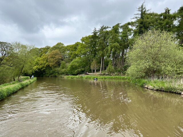
Foxey Wood is a charming forest located in the county of Cheshire, England. Nestled amidst the rolling hills and picturesque countryside, this woodland is an enchanting destination for nature lovers and outdoor enthusiasts alike. Covering an area of approximately 50 acres, Foxey Wood is home to a diverse range of flora and fauna, making it an important habitat for local wildlife.
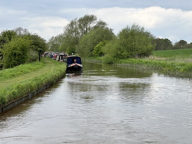
The wood features a mix of deciduous and coniferous trees, including oak, beech, and pine, which create a stunning canopy overhead. The forest floor is adorned with a carpet of wildflowers, adding bursts of color to the landscape throughout the seasons. A network of walking trails and footpaths meander through the wood, allowing visitors to explore its beauty at their own pace.
The tranquility of Foxey Wood provides a peaceful escape from the hustle and bustle of everyday life. It is a popular spot for nature walks, birdwatching, and photography, offering ample opportunities to spot a variety of birds, squirrels, and other woodland creatures. The wood is also a haven for plant enthusiasts, with a wide array of species that thrive in its fertile soil.
The management of Foxey Wood is carefully overseen by local conservation organizations, ensuring its sustainability and preservation for future generations. Visitors are encouraged to follow designated paths and adhere to the principles of Leave No Trace to protect the delicate ecosystem.
With its natural beauty and serene ambiance, Foxey Wood is a true gem in the heart of Cheshire, offering a delightful experience for all who venture into its leafy embrace.
If you have any feedback on the listing, please let us know in the comments section below.
Foxey Wood Images
Images are sourced within 2km of 53.136909/-2.6817591 or Grid Reference SJ5460. Thanks to Geograph Open Source API. All images are credited.


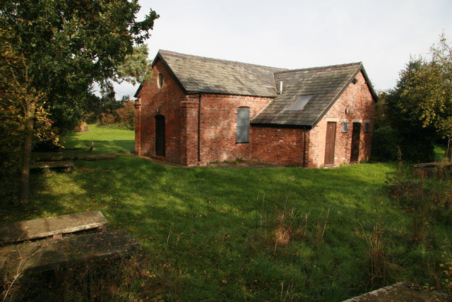
![Railway embankment in the Gowy valley Somewhat straighter than the River Gowy [in the foreground].](https://s0.geograph.org.uk/geophotos/07/51/92/7519280_9f792766.jpg)


Foxey Wood is located at Grid Ref: SJ5460 (Lat: 53.136909, Lng: -2.6817591)
Unitary Authority: Cheshire West and Chester
Police Authority: Cheshire
What 3 Words
///slept.appoints.walls. Near Tiverton, Cheshire
Nearby Locations
Related Wikis
Tiverton, Cheshire
Tiverton is a village and former civil parish, now in the parish of Tiverton and Tilstone Fearnall, in the Cheshire West and Chester district and ceremonial...
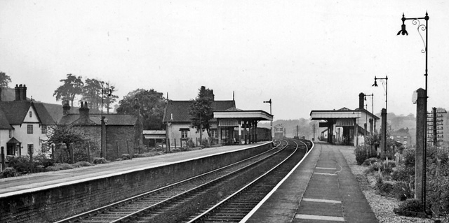
Beeston Castle and Tarporley railway station
Beeston Castle and Tarporley railway station was a railway station serving the villages of Tarporley, Tiverton, and Beeston in Cheshire, England. The station...

Beeston Castle
Beeston Castle is a former Royal castle in Beeston, Cheshire, England (grid reference SJ537593), perched on a rocky sandstone crag 350 feet (107 m) above...
Brassey Green
Brassey Green is a small rural village near Tarporley, in Tiverton and Tilstone Fearnall civil parish, within the unitary authority of Cheshire West and...
Nearby Amenities
Located within 500m of 53.136909,-2.6817591Have you been to Foxey Wood?
Leave your review of Foxey Wood below (or comments, questions and feedback).