Actonlea Coppice
Wood, Forest in Shropshire
England
Actonlea Coppice
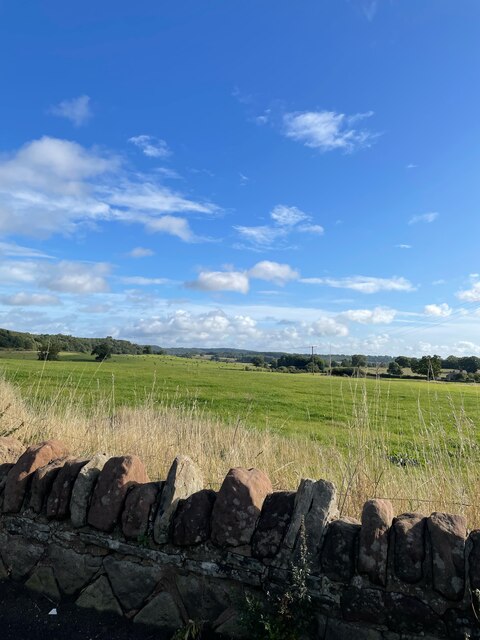
Actonlea Coppice is a serene wood located in the picturesque county of Shropshire, England. Nestled within the rolling countryside, this forested area offers a tranquil escape for nature lovers and outdoor enthusiasts alike.
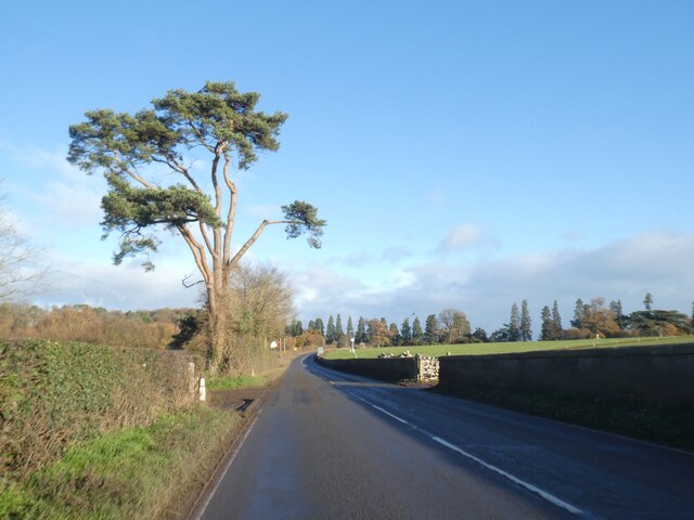
Covering an expansive area of approximately 50 acres, Actonlea Coppice boasts a diverse range of flora and fauna. The wood is primarily composed of native deciduous trees such as oak, beech, and ash, which create a stunning canopy during the summer months. The forest floor is adorned with a carpet of bluebells in the spring, adding a splash of color to the landscape.
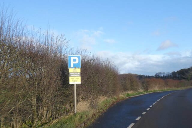
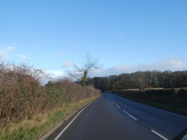
The wood is crisscrossed by a network of well-maintained trails, making it easily accessible for walkers, hikers, and cyclists. These paths wind their way through the woodland, leading visitors to discover hidden glades, babbling brooks, and charming wildlife habitats.
Actonlea Coppice is home to an abundance of wildlife, offering a haven for many species. Birdwatchers will delight in the opportunity to spot a variety of woodland birds, including woodpeckers, owls, and thrushes. The wood is also inhabited by mammals such as deer, foxes, and badgers, which can occasionally be spotted during early morning or dusk.
For those seeking a peaceful retreat, Actonlea Coppice provides several picnic areas and benches where visitors can relax and enjoy the natural surroundings. The tranquility of the wood is enhanced by the absence of vehicular access, ensuring a peaceful and undisturbed experience.
Actonlea Coppice is a hidden gem in the heart of Shropshire, offering a truly enchanting experience for nature enthusiasts and anyone seeking solace in the beauty of the British countryside.
If you have any feedback on the listing, please let us know in the comments section below.
Actonlea Coppice Images
Images are sourced within 2km of 52.805689/-2.6765796 or Grid Reference SJ5423. Thanks to Geograph Open Source API. All images are credited.


Actonlea Coppice is located at Grid Ref: SJ5423 (Lat: 52.805689, Lng: -2.6765796)
Unitary Authority: Shropshire
Police Authority: West Mercia
What 3 Words
///monument.indicated.menu. Near Shawbury, Shropshire
Nearby Locations
Related Wikis

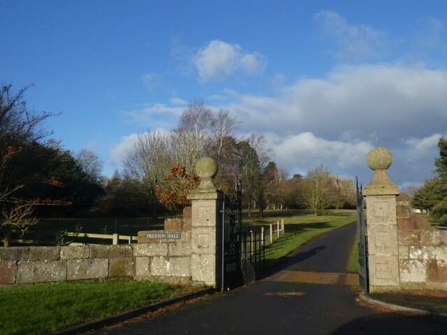
Acton Reynald Hall
Acton Reynald Hall is a 19th-century country house at Acton Reynald, Moreton Corbet, Shropshire, England. It is a Grade II* listed building.The Corbet...
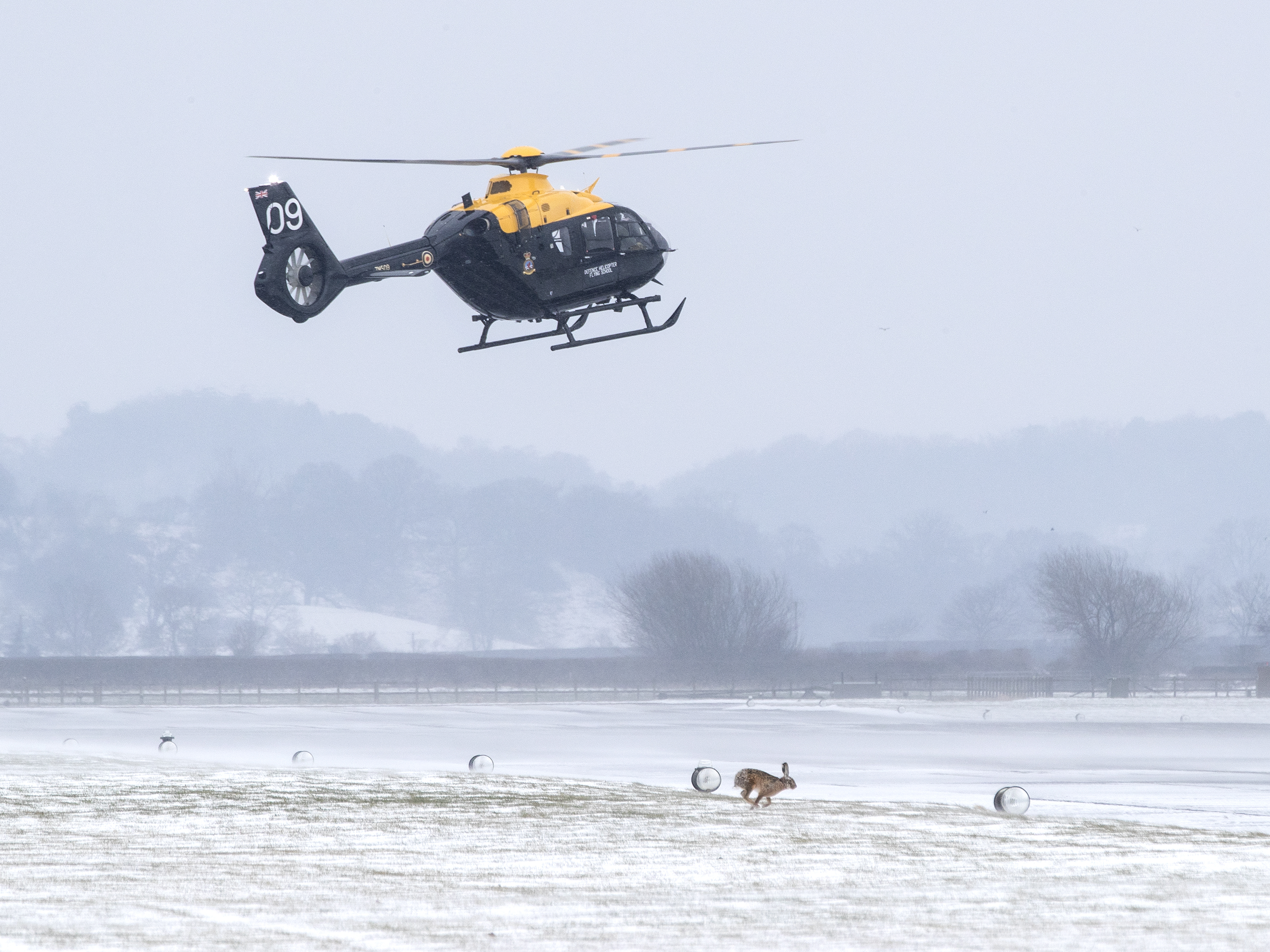
RAF Shawbury
Royal Air Force Shawbury, otherwise known as RAF Shawbury, is a Royal Air Force station near the village of Shawbury in Shropshire in the West Midlands...

Acton Reynald
Acton Reynald is a village in the north of Shropshire, England. The village is more of a hamlet in that it does not contain a public house, Post Office...
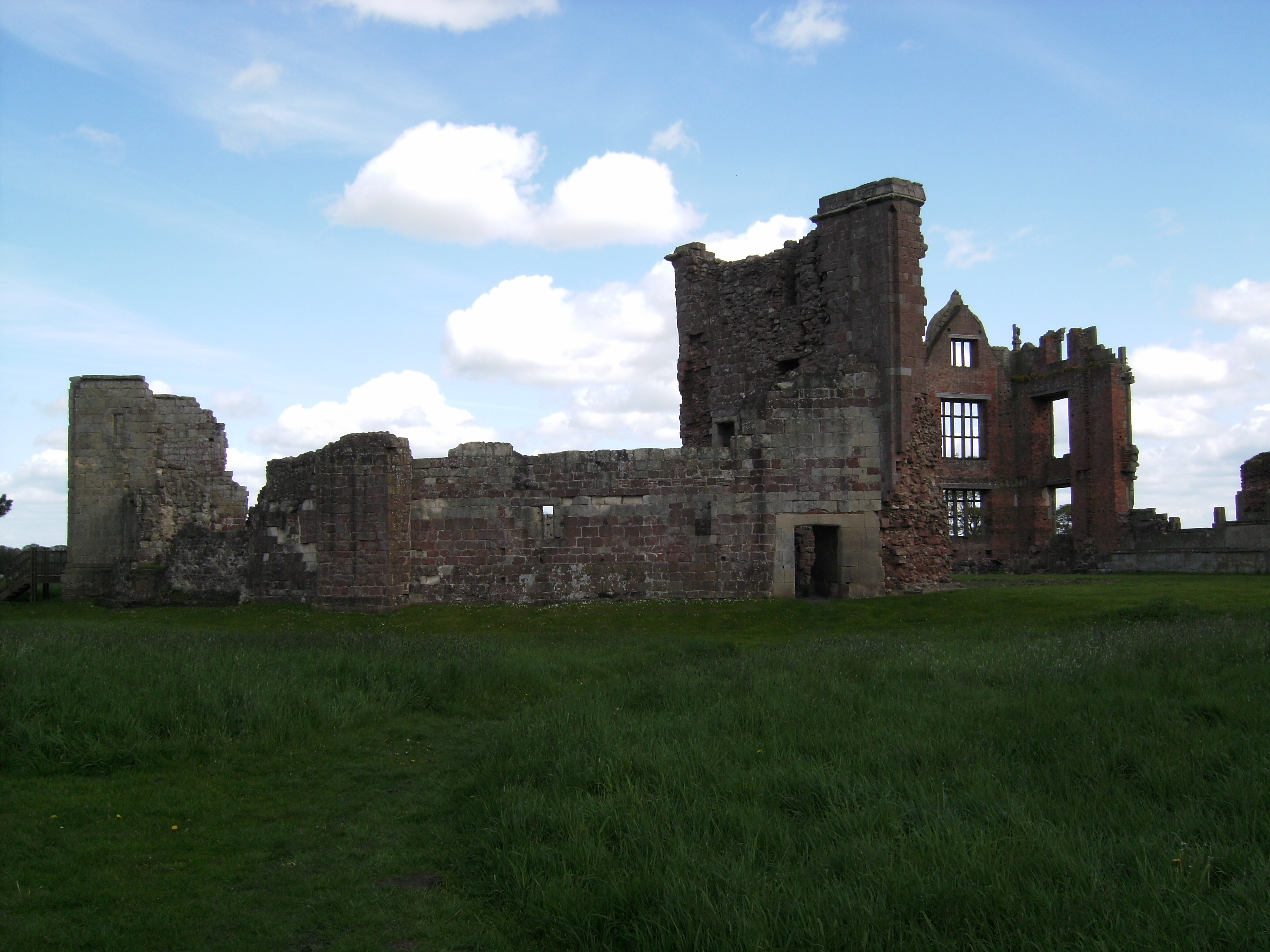
Moreton Corbet Castle
Moreton Corbet Castle is a ruined medieval castle and Elizabethan era manor house, located near the village of Moreton Corbet, Shropshire, England. It...

Moreton Corbet
Moreton Corbet is a village and former civil parish, now in the parish of Moreton Corbet and Lee Brockhurst, in the Shropshire district, in the ceremonial...

Defence Helicopter Flying School
The Defence Helicopter Flying School (DHFS) was a military flying school based at RAF Shawbury in Shropshire, England. The school, established in 1997...

Moreton Corbet and Lee Brockhurst
Moreton Corbet and Lee Brockhurst is a civil parish in Shropshire, England. It is the result of a merger of two older parishes - Moreton Corbet and Lee...
Rutunium
Rutunium was a former Roman settlement at the site of Harcourt Park, Shropshire, in the United Kingdom. It appeared in the Antonine Itinerary. == References ==
Nearby Amenities
Located within 500m of 52.805689,-2.6765796Have you been to Actonlea Coppice?
Leave your review of Actonlea Coppice below (or comments, questions and feedback).