Vanrigg Wood

Wood, Forest in Lancashire Lancaster

England

Vanrigg Wood

Farmland off Aughton Road Sheep pasture near Aughton.
Farmland off Aughton Road Credit: Phil and Juliette Platt

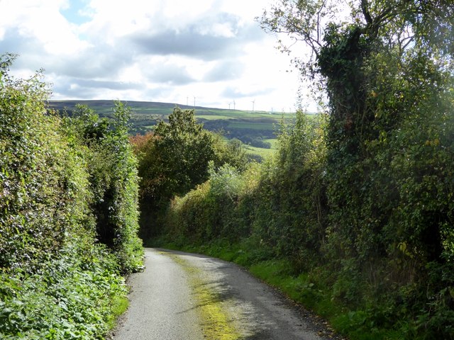
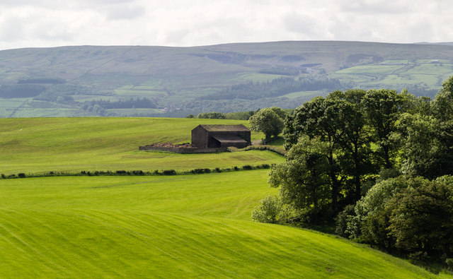
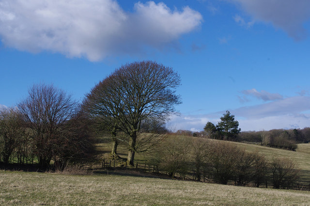
Vanrigg Wood is a stunning forest located in the county of Lancashire, England. Spanning over a vast area, this wood is known for its natural beauty, diverse wildlife, and tranquil atmosphere.

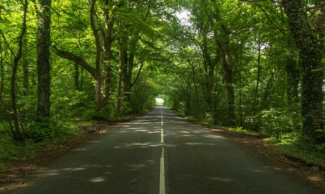
The wood is predominantly made up of deciduous trees, such as oak, beech, and birch, which create a dense and lush canopy. Walking through the wood, visitors are treated to an enchanting display of vibrant colors during the autumn months as the leaves change to hues of red, orange, and gold.

Vanrigg Wood is home to a wide variety of wildlife, making it a popular destination for nature enthusiasts and photographers alike. Birdwatchers can spot a range of species, including woodpeckers, owls, and various songbirds. Small mammals like rabbits, squirrels, and hedgehogs can also be spotted scurrying about.

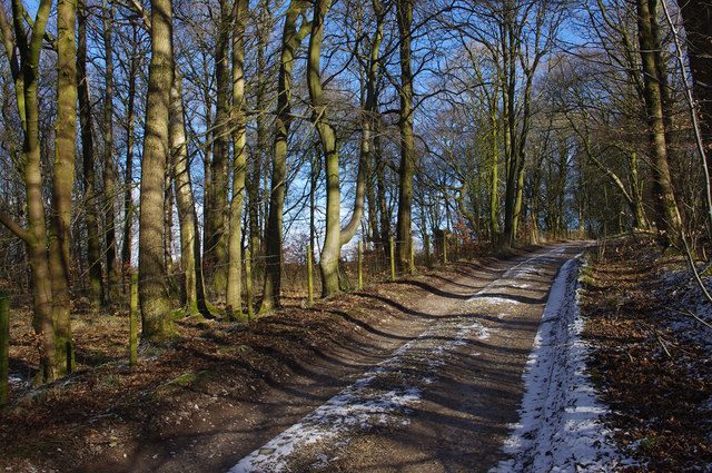
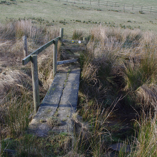
The wood offers a network of well-maintained trails that wind through its picturesque landscape. These paths are suitable for all levels of walkers, whether you prefer a leisurely stroll or a more challenging hike. Along the way, visitors can find peaceful picnic spots and benches to rest and absorb the serene surroundings.

Vanrigg Wood is easily accessible, with ample parking available for visitors. It also provides facilities such as toilets and a visitor center where maps and information about the local flora and fauna can be obtained.

With its breathtaking scenery and abundant wildlife, Vanrigg Wood is a true gem in Lancashire, offering a haven of tranquility and natural splendor for all to enjoy.

If you have any feedback on the listing, please let us know in the comments section below.
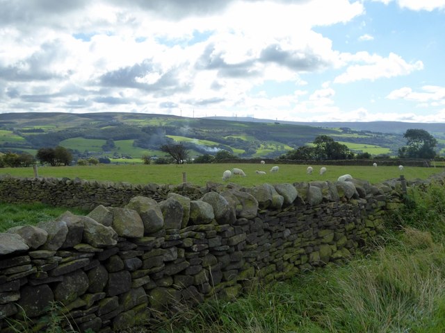
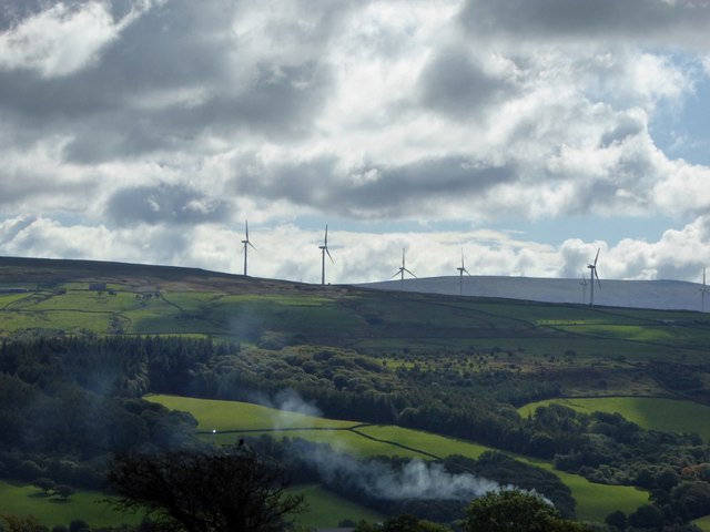
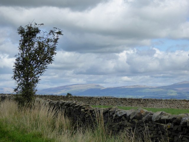
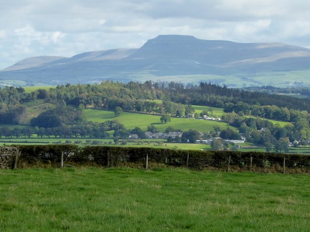
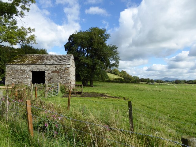
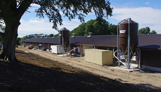
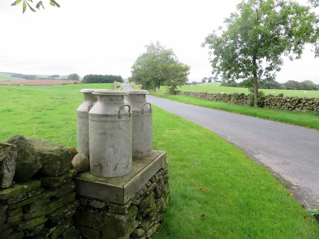
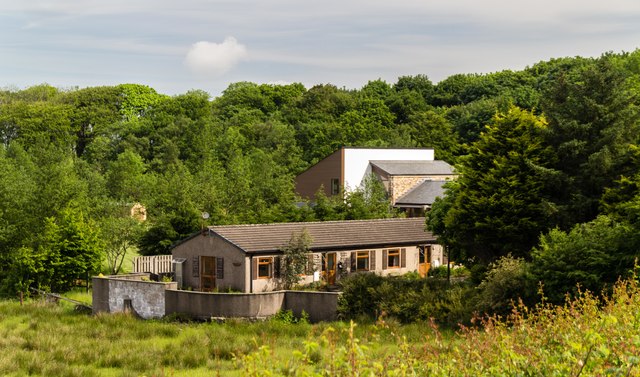
Vanrigg Wood Images

Images are sourced within 2km of 54.112833/-2.6976624 or Grid Reference SD5468. Thanks to Geograph Open Source API. All images are credited.

Farmland off Aughton Road Sheep pasture near Aughton.
Farmland off Aughton Road
Sheep pasture near Aughton.
Windfarm near Aughton
Aughton road verge The stone walls enclose sheep pasture.
Aughton road verge
The stone walls enclose sheep pasture.
Farmland off Aughton Road The peak in the distance is Ingleborough.
Farmland off Aughton Road
The peak in the distance is Ingleborough.
Cul de Sac at Aughton The steep track leads down to Aughton Barns.
Cul de Sac at Aughton
The steep track leads down to Aughton Barns.
Barn at Aughton On the banks of the River Lune.
Barn at Aughton
On the banks of the River Lune.
Poultry shed under construction This shed is about 175m long, and I believe it will be used for egg production.
Poultry shed under construction
This shed is about 175m long, and I believe it will be used for egg production.
St. Saviour's, Aughton A small Church of England church serving Aughton village.
St. Saviour's, Aughton
A small Church of England church serving Aughton village.
Milk churns awaiting collection Not really. Although the churns are genuine, this method of collecting milk from farms is long gone. The churns are cemented to the stand as a nostalgic roadside feature.
Milk churns awaiting collection
Not really. Although the churns are genuine, this method of collecting milk from farms is long gone. The churns are cemented to the stand as a nostalgic roadside feature.
Brooklands Cottages at Brooklands.
Brooklands
Cottages at Brooklands.
Kirkby Lonsdale Road Kirkby Lonsdale Road near Sidegarth Gate.
Kirkby Lonsdale Road
Kirkby Lonsdale Road near Sidegarth Gate.
High Snab Farm Barn above High Snab Farm.
High Snab Farm
Barn above High Snab Farm.
Aughton Village Hall
Grazing land An isolated tree stands next to a boundary fence. A snowy Ingleborough is in the distance.
Grazing land
An isolated tree stands next to a boundary fence. A snowy Ingleborough is in the distance.
Ride through the wood, Sidegarth This old gate and ride indicate the route of the Thirlmere Aqueduct. The aqueduct used to be inspected by foot, so gates were provided where the route crosses walls and fences. <a href="https://www.geograph.org.uk/photo/1924907">SD5468 : Ride through the wood, Sidegarth</a> is a similar view in summer.
Ride through the wood, Sidegarth
This old gate and ride indicate the route of the Thirlmere Aqueduct. The aqueduct used to be inspected by foot, so gates were provided where the route crosses walls and fences. SD5468 : Ride through the wood, Sidegarth is a similar view in summer.
Track to Sidegarth
Track to Sidegarth
Footbridge near Sidegarth
Grazing land near Sidegarth On the footpath approaching Sidegarth from the SE.
Grazing land near Sidegarth
On the footpath approaching Sidegarth from the SE.
Show me another place!

Vanrigg Wood is located at Grid Ref: SD5468 (Lat: 54.112833, Lng: -2.6976624)

Administrative County: Lancashire

District: Lancaster

Police Authority: Lancashire

What 3 Words

///than.normal.skidding. Near Caton, Lancashire

Related Wikis

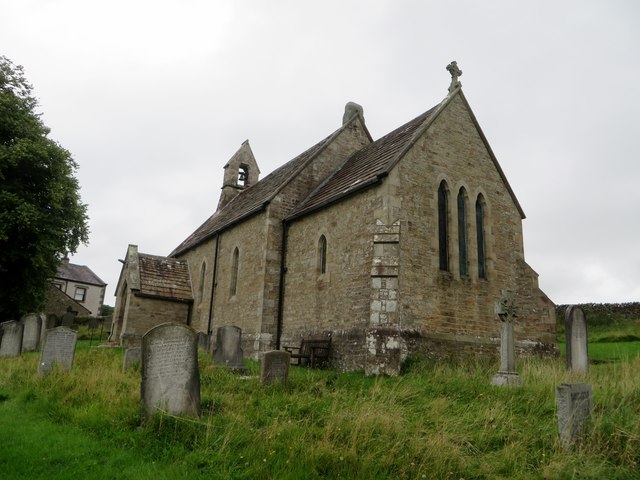
St Saviour's Church, Aughton

St Saviour's Church is an Anglican parish church to the north of the hamlet of Aughton, Lancashire, England. == Ecclesiastical organisation == The church...

St Cuthbert's Church, Over Kellet

St Cuthbert's Church is in the village of Over Kellet, Lancashire, England. It is an active Anglican parish church in the deanery of Tunstall, the archdeaconry...

Over Kellet

Over Kellet is a village and civil parish near Carnforth in the English county of Lancashire. The parish, which is in the City of Lancaster, includes the...

Claughton railway station

Claughton railway station served the village of Claughton in the City of Lancaster district of Lancashire, England. The station was located near Low Lane...

Nearby Amenities

Located within 500m of 54.112833,-2.6976624
Give Way
Direction: forward
Lat/Long: 54.1135155/-2.7042175
The data included in this document is from www.openstreetmap.org. The data is made available under ODbL.

Have you been to Vanrigg Wood?

Leave your review of Vanrigg Wood below (or comments, questions and feedback).