Bank Lane Woods
Wood, Forest in Lancashire Chorley
England
Bank Lane Woods
Located in the heart of Lancashire, Bank Lane Woods is a captivating woodland that offers a tranquil escape from the hustle and bustle of everyday life. This enchanting forest spans a vast area, encompassing a diverse range of trees, plants, and wildlife. Situated near the village of Bank Lane, it has become a cherished natural gem for both locals and visitors alike.
As you enter Bank Lane Woods, you are greeted by a canopy of majestic trees that provide a cool and refreshing atmosphere. The woodland boasts a rich variety of tree species, including oak, beech, and birch, which create a vibrant tapestry of colors during the changing seasons. The forest floor is adorned with an array of wildflowers and ferns, adding to the charm and beauty of the surroundings.
The woods are home to an abundance of wildlife, making it a haven for nature enthusiasts and wildlife lovers. Squirrels can be seen playfully scampering through the trees, while birdsong fills the air as various species of birds make their homes among the branches. If you are lucky, you may even spot a deer or two, gracefully trotting through the undergrowth.
Bank Lane Woods offers a network of well-maintained trails that wind their way through the forest, allowing visitors to explore its hidden treasures. Whether you choose to embark on a leisurely stroll or a more challenging hike, the woodland provides a sense of serenity and seclusion that is hard to find elsewhere.
Overall, Bank Lane Woods is a captivating natural sanctuary that offers a peaceful retreat for anyone seeking solace in the beauty of nature. Whether you are a keen walker, a wildlife enthusiast, or simply in need of some fresh air, this Lancashire woodland is sure to leave a lasting impression.
If you have any feedback on the listing, please let us know in the comments section below.
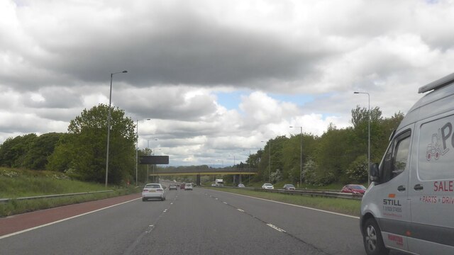
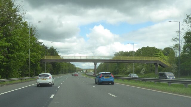
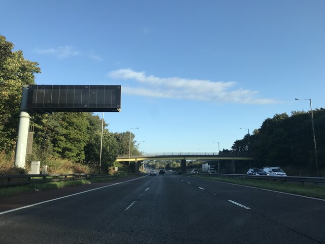
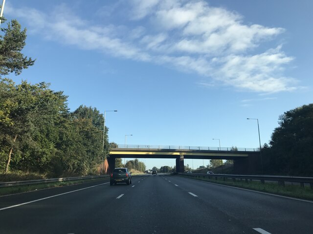
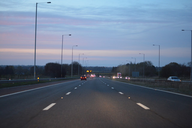
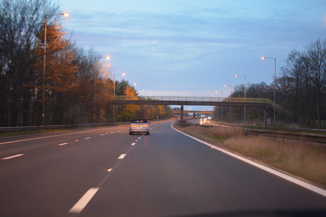
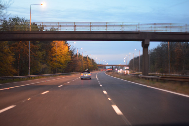
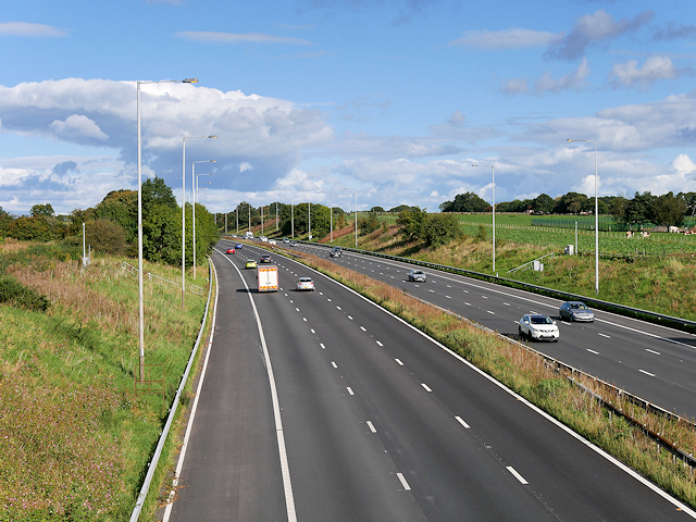
Bank Lane Woods Images
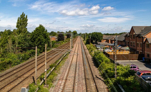
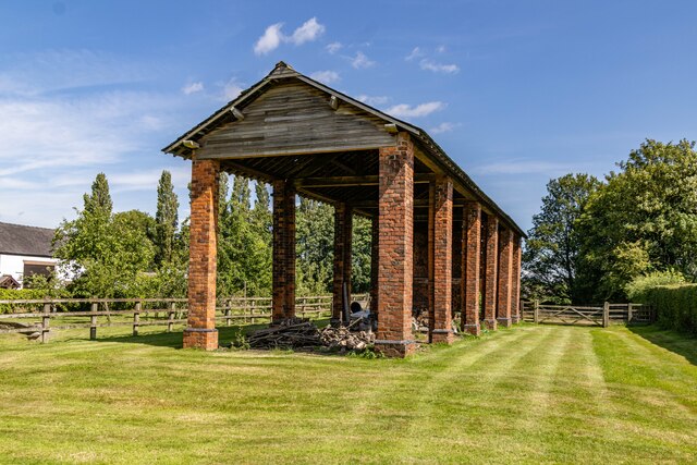
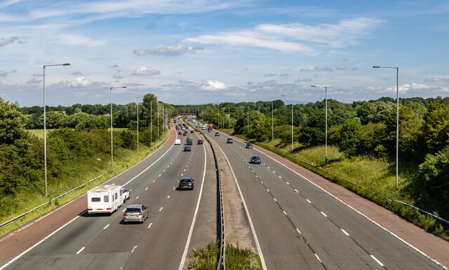
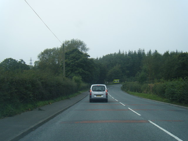
Images are sourced within 2km of 53.664539/-2.6912932 or Grid Reference SD5418. Thanks to Geograph Open Source API. All images are credited.


Bank Lane Woods is located at Grid Ref: SD5418 (Lat: 53.664539, Lng: -2.6912932)
Administrative County: Lancashire
District: Chorley
Police Authority: Lancashire
What 3 Words
///baroness.puppy.entitles. Near Euxton, Lancashire
Nearby Locations
Related Wikis
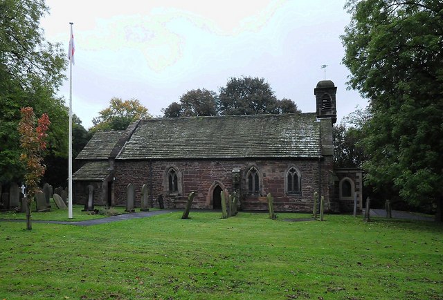
Euxton Parish Church
Euxton Parish Church is in the English village of Euxton in the borough of Chorley, Lancashire. It is an active parish church in the Diocese of Blackburn...

Euxton Hall Chapel
Euxton Hall Chapel is situated in the village of Euxton, Lancashire, England. It was designed by architect E. W. Pugin (1834–1875), and built in 1866...

Euxton
Euxton ( EKS-tən) is a village and civil parish of the Borough of Chorley, in Lancashire, England. The population of the civil parish as taken at the 2011...

Euxton railway station (London and North Western Railway)
Euxton was an early railway station serving Euxton in Chorley, Lancashire, England. The station was opened on 31 October 1838 when the North Union Railway...
Euxton Villa F.C.
Euxton Villa Football Club is a football club based in Euxton, England. They are currently members of the North West Counties League Division One North...
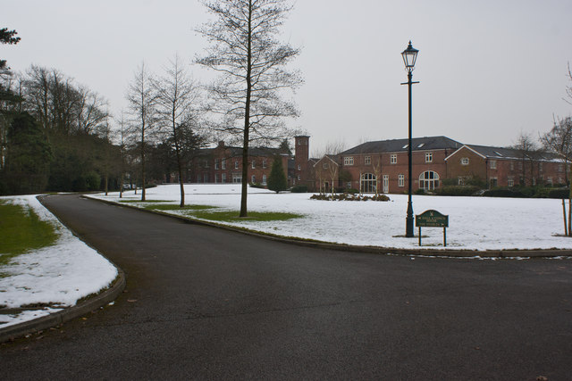
Runshaw Hall
Runshaw Hall is a grade II listed 19th-century country house in Runshaw Hall Lane, Euxton, Chorley, Lancashire, England, which has been converted into...

Euxton Balshaw Lane railway station
Euxton Balshaw Lane is one of two railway stations situated in Euxton , Lancashire, England. It is a local station on the West Coast Main Line on the stretch...
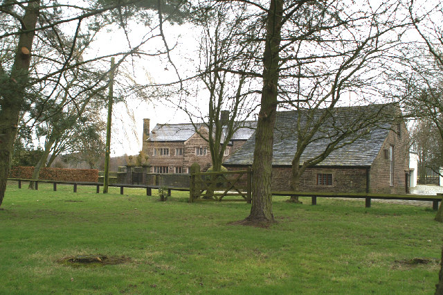
Bolton Green
Bolton Green is a village in the Borough of Chorley, Lancashire, England. Bolton Green Hall farmhouse is a Grade II* listed building dating from 1612....
Nearby Amenities
Located within 500m of 53.664539,-2.6912932Have you been to Bank Lane Woods?
Leave your review of Bank Lane Woods below (or comments, questions and feedback).