Bank Lane Woods
Wood, Forest in Lancashire Chorley
England
Bank Lane Woods

Bank Lane Woods is a picturesque woodland located in the county of Lancashire, England. Spanning over several acres, this enchanting forest is a haven for nature lovers and outdoor enthusiasts alike. Nestled in the heart of the countryside, Bank Lane Woods boasts a diverse range of native trees, including oak, beech, and birch, which create a captivating canopy of greenery.
The woodland is crisscrossed with a network of well-maintained trails, offering visitors the opportunity to explore and immerse themselves in the natural beauty of the surroundings. These pathways wind their way through the forest, providing scenic views and glimpses of the abundant wildlife that call Bank Lane Woods their home. Deer, rabbits, and a variety of bird species are often spotted by keen observers.
Bank Lane Woods is also a popular destination for outdoor activities such as hiking, jogging, and cycling. The serene atmosphere and tranquil ambiance make it an ideal location for a peaceful stroll or a family picnic amidst the trees. Moreover, the woods are equipped with picnic areas and benches, providing ample space for visitors to relax and enjoy the serenity of the surroundings.
Furthermore, Bank Lane Woods is committed to conservation and sustainability, with ongoing efforts to preserve the natural habitat and protect the diverse flora and fauna. The woodland is open to the public year-round, free of charge, and is accessible from Bank Lane itself.
In conclusion, Bank Lane Woods is a captivating woodland retreat in Lancashire, offering a serene and scenic escape for nature enthusiasts and anyone seeking solace in the beauty of the great outdoors.
If you have any feedback on the listing, please let us know in the comments section below.
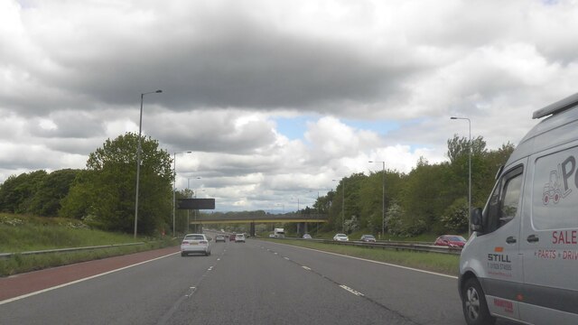
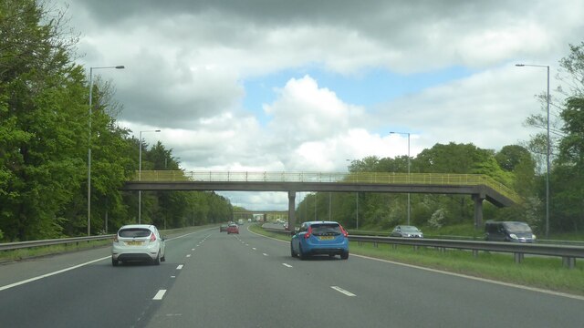
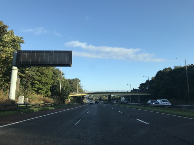
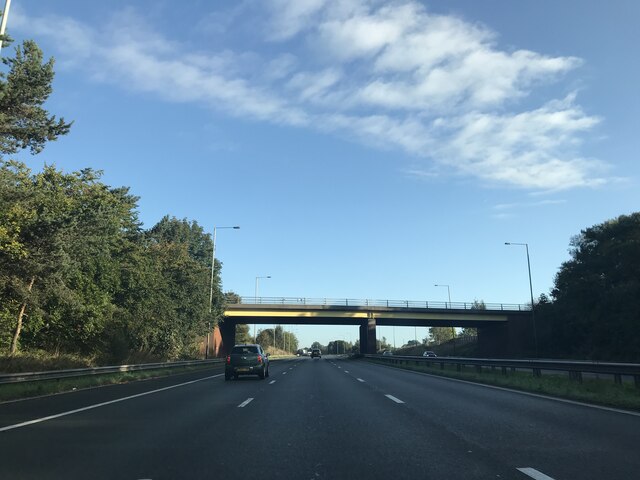
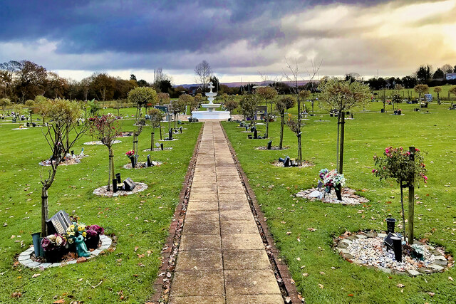
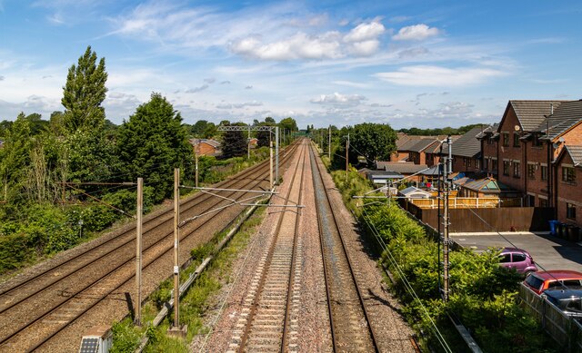
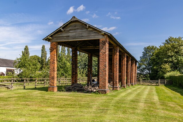
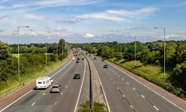
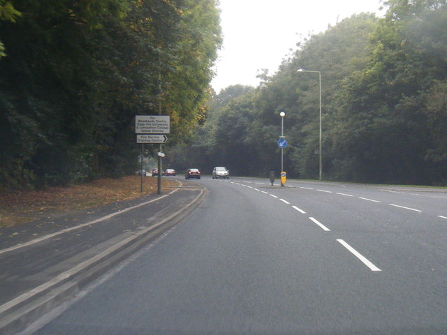
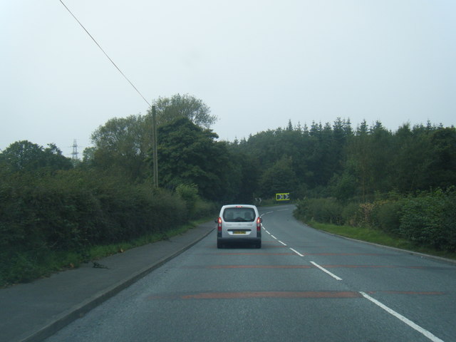
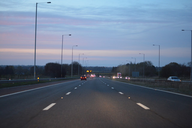
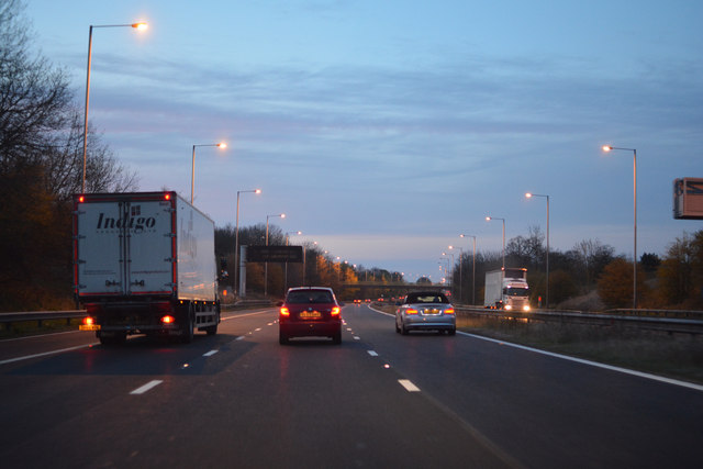
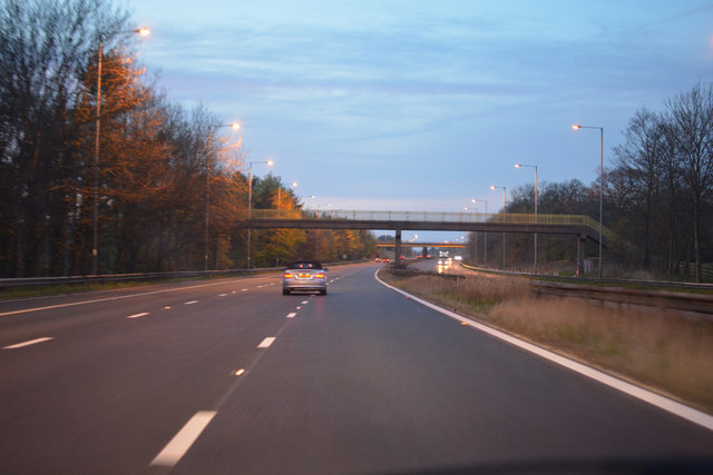
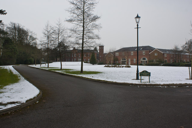
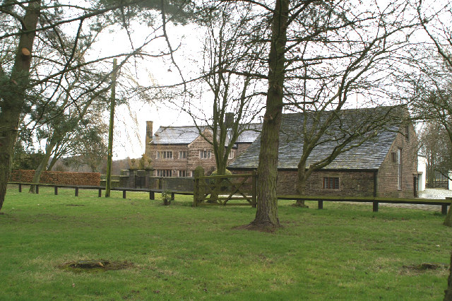
Bank Lane Woods Images
Images are sourced within 2km of 53.664264/-2.6874144 or Grid Reference SD5418. Thanks to Geograph Open Source API. All images are credited.


Bank Lane Woods is located at Grid Ref: SD5418 (Lat: 53.664264, Lng: -2.6874144)
Administrative County: Lancashire
District: Chorley
Police Authority: Lancashire
What 3 Words
///townhouse.advances.polar. Near Euxton, Lancashire
Nearby Locations
Related Wikis
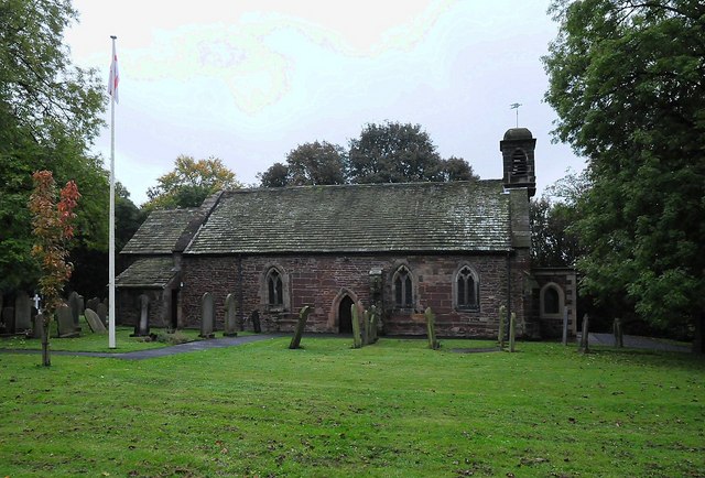
Euxton Parish Church
Euxton Parish Church is in the English village of Euxton in the borough of Chorley, Lancashire. It is an active parish church in the Diocese of Blackburn...

Euxton Hall Chapel
Euxton Hall Chapel is situated in the village of Euxton, Lancashire, England. It was designed by architect E. W. Pugin (1834–1875), and built in 1866...

Euxton
Euxton ( EKS-tən) is a village and civil parish of the Borough of Chorley, in Lancashire, England. The population of the civil parish as taken at the 2011...

Euxton railway station (London and North Western Railway)
Euxton was an early railway station serving Euxton in Chorley, Lancashire, England. The station was opened on 31 October 1838 when the North Union Railway...

Euxton Balshaw Lane railway station
Euxton Balshaw Lane is one of two railway stations situated in Euxton , Lancashire, England. It is a local station on the West Coast Main Line on the stretch...
Euxton Villa F.C.
Euxton Villa Football Club is a football club based in Euxton, England. They are currently members of the North West Counties League Division One North...
Runshaw Hall
Runshaw Hall is a grade II listed 19th-century country house in Runshaw Hall Lane, Euxton, Chorley, Lancashire, England, which has been converted into...
Bolton Green
Bolton Green is a village in the Borough of Chorley, Lancashire, England. Bolton Green Hall farmhouse is a Grade II* listed building dating from 1612....
Nearby Amenities
Located within 500m of 53.664264,-2.6874144Have you been to Bank Lane Woods?
Leave your review of Bank Lane Woods below (or comments, questions and feedback).