Common End
Settlement in Cumberland Copeland
England
Common End

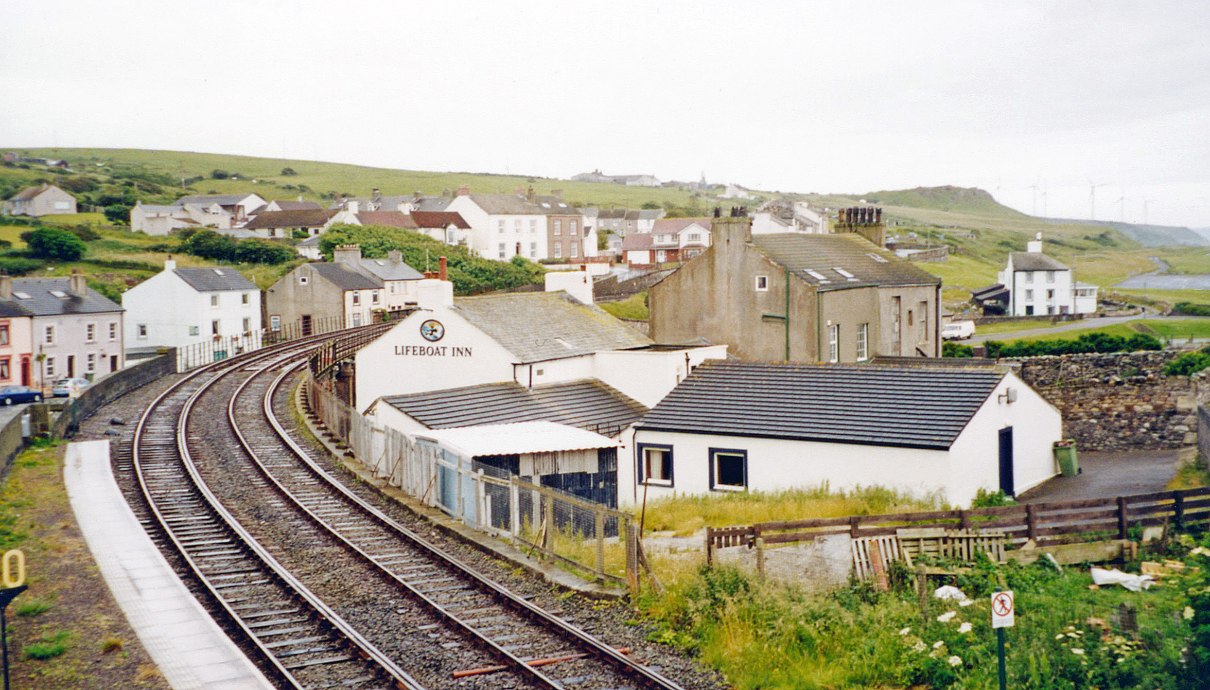
Common End is a small rural settlement located in the county of Cumberland, England. Situated in the picturesque Lake District National Park, Common End is surrounded by stunning natural beauty and offers a peaceful and idyllic setting for residents and visitors alike.
The settlement is characterized by its charming traditional cottages, which are built using local materials such as stone and slate, adding to the area's rustic charm. The streets are lined with well-maintained gardens and vibrant flowers, creating a colorful and welcoming atmosphere.
Common End is home to a close-knit community that prides itself on its strong sense of community spirit. Residents often come together for various social events and activities, fostering a friendly and inclusive environment.
The surrounding area offers a plethora of outdoor activities for nature enthusiasts. The nearby Lake District National Park boasts numerous hiking and cycling trails, providing breathtaking views of the surrounding mountains, lakes, and forests. The area is also popular for water activities such as kayaking, fishing, and sailing.
In terms of amenities, Common End has a small but well-stocked village shop that caters to the everyday needs of residents. For more extensive shopping and entertainment options, the town of Keswick is a short drive away.
Overall, Common End, Cumberland, offers a tranquil and picturesque lifestyle with a strong sense of community, making it an ideal place for those seeking a close connection with nature and a peaceful rural existence.
If you have any feedback on the listing, please let us know in the comments section below.
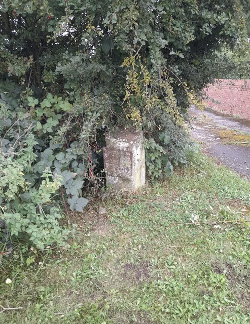
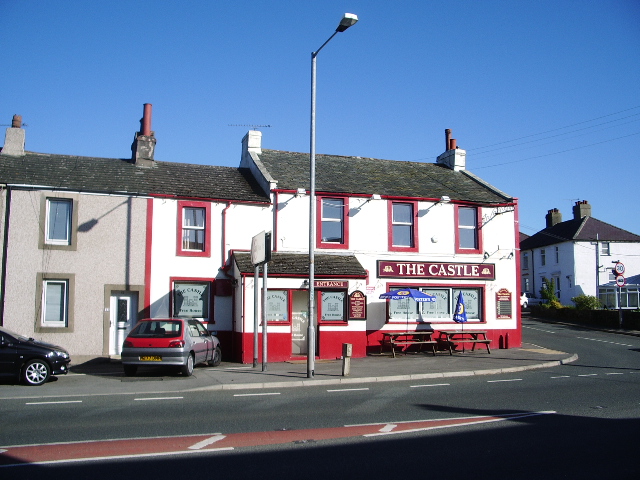
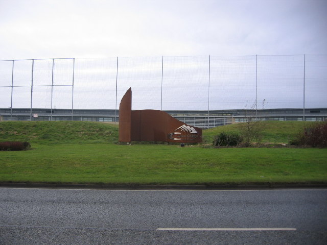
Common End Images
Images are sourced within 2km of 54.589419/-3.540556 or Grid Reference NY0022. Thanks to Geograph Open Source API. All images are credited.


Common End is located at Grid Ref: NY0022 (Lat: 54.589419, Lng: -3.540556)
Administrative County: Cumbria
District: Copeland
Police Authority: Cumbria
What 3 Words
///mealtime.cascaded.purely. Near Distington, Cumbria
Nearby Locations
Related Wikis
Common End, Cumbria
Common End is a hamlet within the civil parish of Distington in Cumbria, England. Common End was on the A595 road until it was by-passed. == References ==

Distington
Distington () is a large village and civil parish in Cumbria, England, 3 miles (4.8 km) south of Workington and 4 miles (6.4 km) north of Whitehaven. Historically...
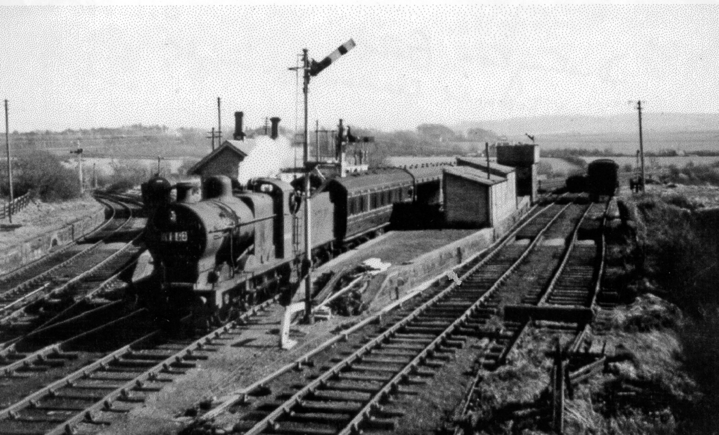
Distington railway station
Distington railway station was opened jointly by the Cleator and Workington Junction Railway (C&WJR) and the LNWR and Furness Joint Railway (The Joint...

Watch Hill (Whitehaven)
Watch Hill is a small hill lying on the western fringe of the Lake District in England, north east of Whitehaven. It should not be confused with another...
Lakes College
Lakes College is a further education institute located at Lillyhall, Cumberland, England, between the towns of Workington and Whitehaven. The college offers...
Millgrove railway station (England)
Millgrove railway station was a private station on the Cleator and Workington Junction Railway (C&WJR) main line from Moor Row to Workington Central. It...

Oatlands railway station
Oatlands railway station served the village of Pica and Oatlands Colliery in the former English county of Cumberland, now part of Cumbria. == Location... ==
Copperas Hill railway station
Copperas Hill railway station served the small clifftop community of Copperas Hill, south of Harrington in the former county of Cumberland, England, which...
Nearby Amenities
Located within 500m of 54.589419,-3.540556Have you been to Common End?
Leave your review of Common End below (or comments, questions and feedback).