Goyt Hey Wood
Wood, Forest in Lancashire
England
Goyt Hey Wood

Goyt Hey Wood is a beautiful woodland located in the county of Lancashire, England. Spanning over a vast area, this serene forest is a popular destination for nature enthusiasts and outdoor lovers. The wood is situated near the town of Marple Bridge and is easily accessible by road.
Goyt Hey Wood is characterized by its dense canopy of trees, predominantly consisting of oak, beech, and birch. The woodland floor is covered with a rich carpet of ferns and wildflowers, creating a picturesque landscape. Visitors can explore the numerous walking trails that wind their way through the forest, offering a chance to immerse oneself in the tranquility of nature.
The wood is home to a diverse array of wildlife, including various species of birds, small mammals, and insects. Birdwatchers are often rewarded with sightings of woodpeckers, owls, and songbirds, while lucky visitors may catch a glimpse of elusive deer or foxes.
Additionally, Goyt Hey Wood boasts a small stream that meanders through the forest, adding to its natural charm. The stream provides a peaceful spot for visitors to relax and enjoy the soothing sounds of flowing water.
Overall, Goyt Hey Wood is a haven for those seeking a respite from the hustle and bustle of daily life. Its natural beauty and tranquil atmosphere make it an ideal destination for walking, picnicking, and wildlife spotting. Whether visiting for a few hours or a whole day, Goyt Hey Wood promises a memorable experience for all who venture into its enchanting depths.
If you have any feedback on the listing, please let us know in the comments section below.
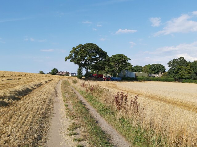
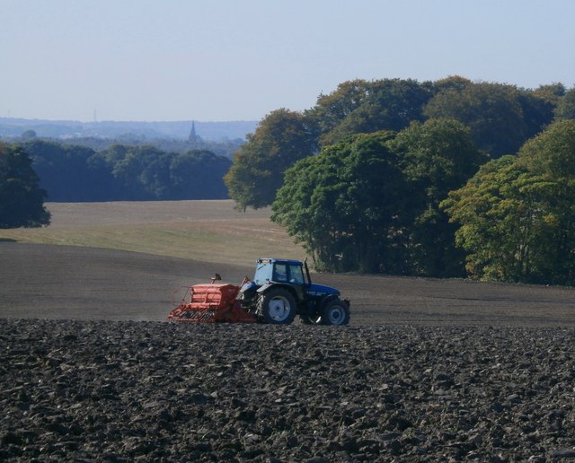
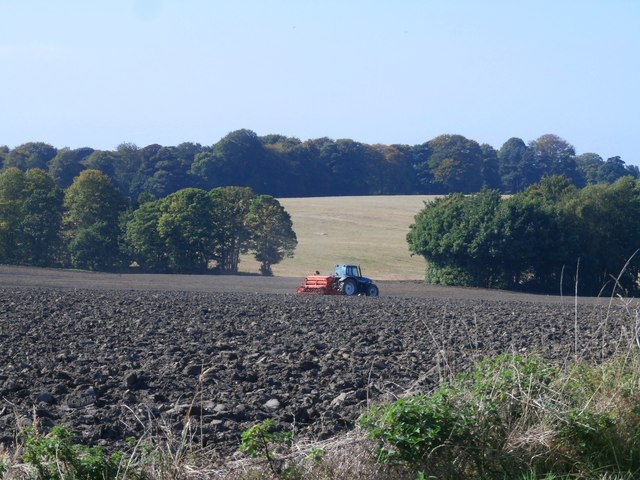
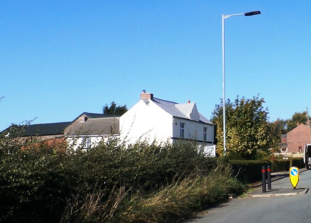
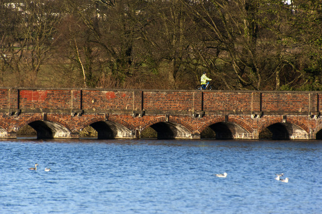
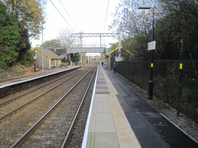
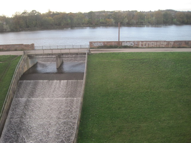
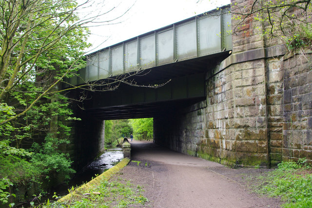
Goyt Hey Wood Images
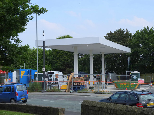
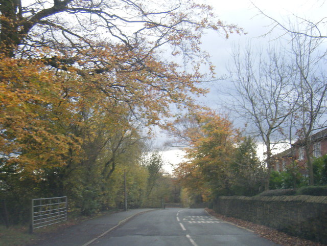
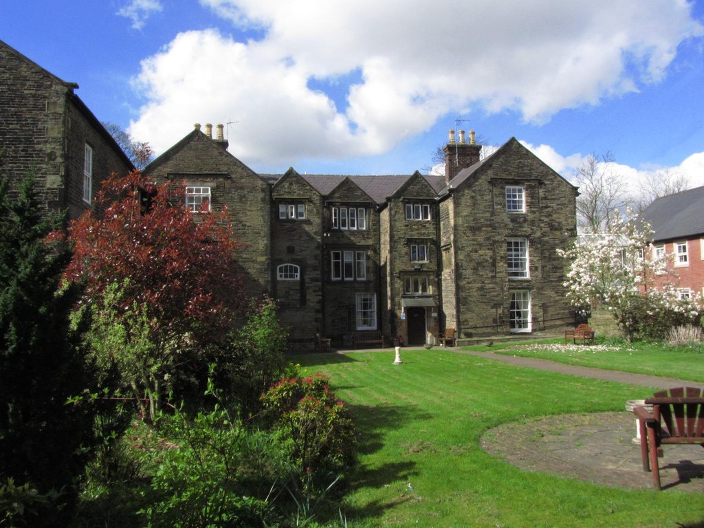
Images are sourced within 2km of 53.487541/-2.7015226 or Grid Reference SJ5399. Thanks to Geograph Open Source API. All images are credited.


Goyt Hey Wood is located at Grid Ref: SJ5399 (Lat: 53.487541, Lng: -2.7015226)
Unitary Authority: St. Helens
Police Authority: Merseyside
What 3 Words
///fills.design.struck. Near Billinge, Merseyside
Nearby Locations
Related Wikis

St Helens North (UK Parliament constituency)
St. Helens North is a constituency created in 1983 represented in the House of Commons of the UK Parliament since 2015 by the Labour Party's Conor McGinn...
Billinge, Merseyside
Billinge is a village within the Metropolitan Borough of St Helens, Merseyside, England. It forms the larger part of the civil parish of Billinge Chapel...
Birchley Hall
Birchley Hall is a grade II* listed Elizabethan house built in about 1594, in Billinge, Merseyside, England. Birchley Hall was bought by Christopher Anderton...

St Mary's Church, Billinge
St Mary's Church is an active Roman Catholic church along Birchley Road, Billinge, St Helens, Merseyside, England. Belonging to the archdiocese of Liverpool...
Have you been to Goyt Hey Wood?
Leave your review of Goyt Hey Wood below (or comments, questions and feedback).